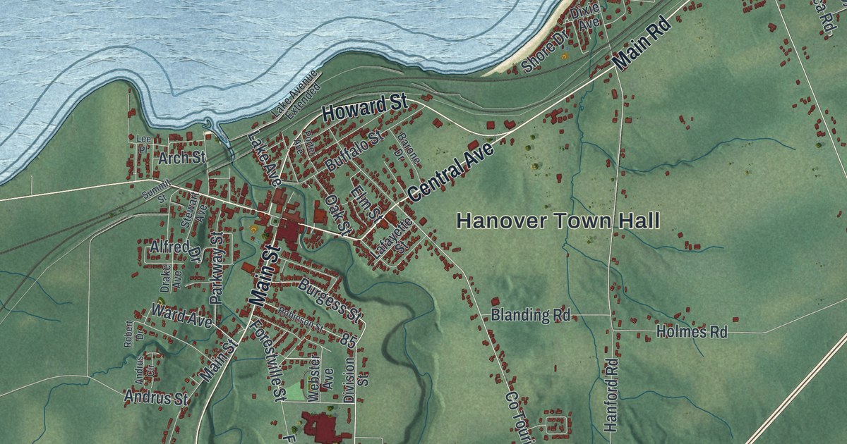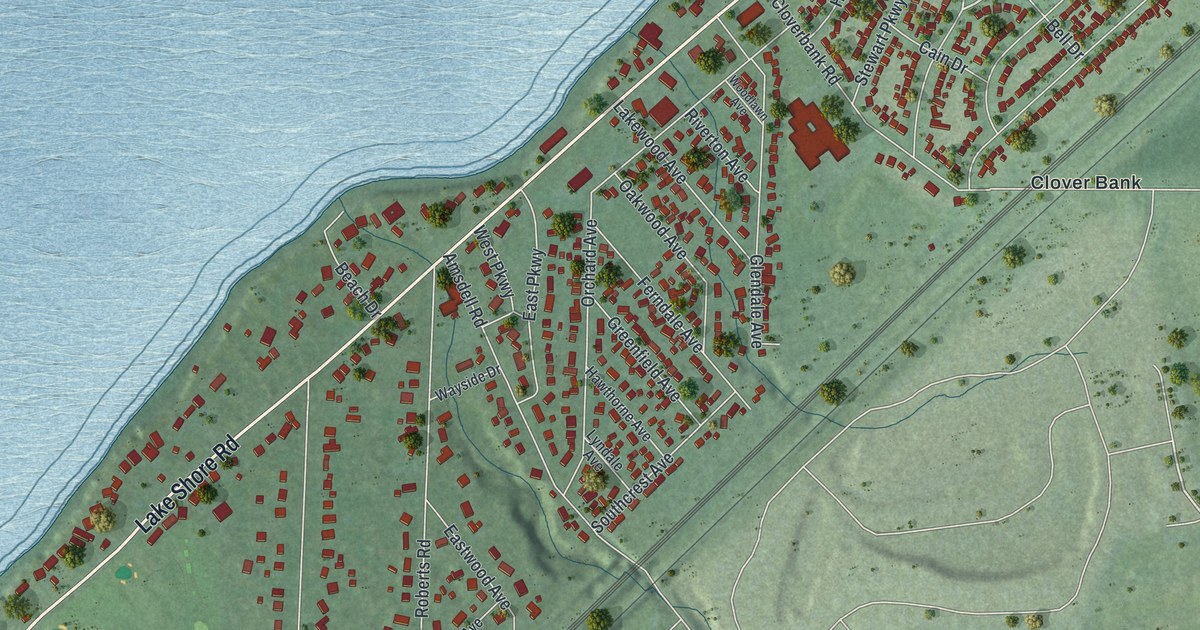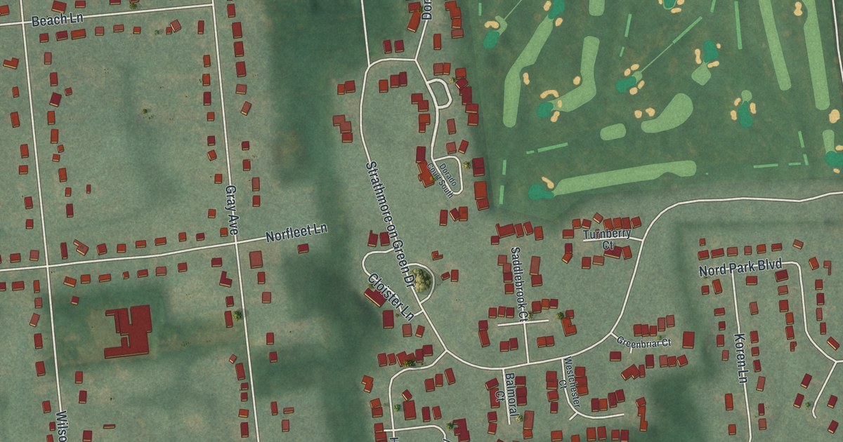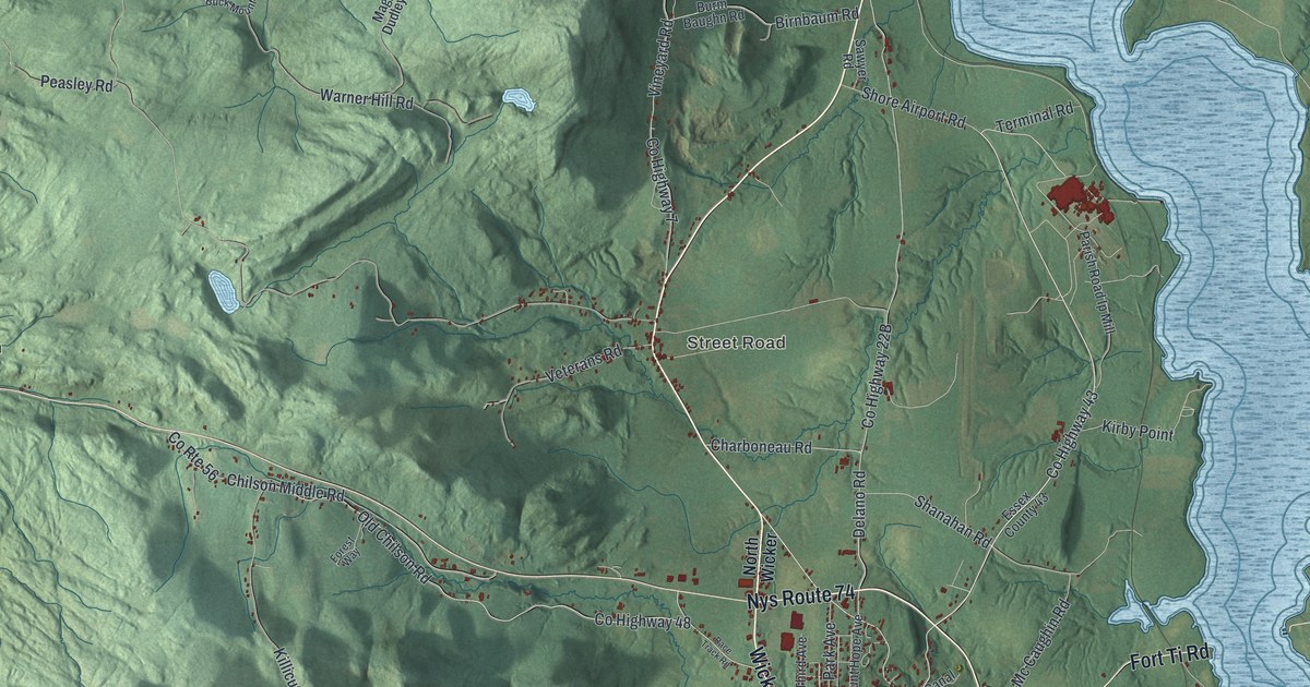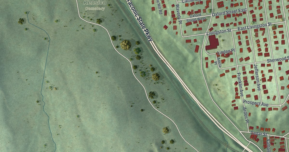
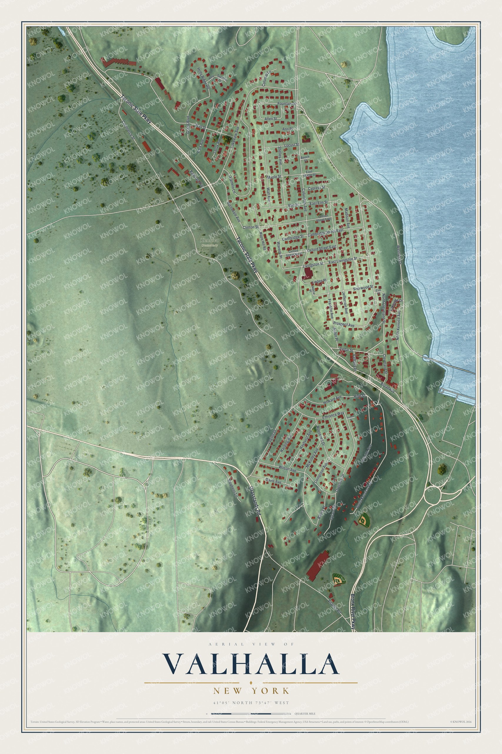
This beautifully detailed map of Valhalla, New York was created in 2026 using aerial imagery combined with modern topographical, census, street and landmark data. It's a modern aerial view of Valhalla in Westchester County, New York, that combines modern data with a vintage aesthetic. The roads feature printed names, and if you look closely you can find your exact house accurately shown in its correct location.
Explore an aerial view of Valhalla, New York
On this map you'll find Kensico Cemetery, Grasslands Road, Taconic State Parkway, Bronx River Parkway, Westlake Drive, Cedar Street, Prospect Avenue, Broadway, North Cleveland Street, High Street, Livingston Street, Overlook Drive, and more. Each red shape is a building, so zoom in on the preview and look for yours.
Valhalla has a story worth telling. Twenty-one First World War veterans came home to Valhalla and started American Legion Post 1038. They named it for their friend Adolph Pfister, a young Valhalla man who joined the Navy, served on the USS Nashville and died in service at just 19. Many of those veterans lived in the newly named Valhalla, which had been called Kensico Station, and they chartered the post in 1931. That's from the American Legion Post 1038.
Valhalla is a community in Westchester County. The Census Bureau counted 3,213 people here in 2020. Valhalla sits about 2 miles southeast of Hawthorne, 2 miles north of Fairview and 2 miles northeast of Elmsford. The map prints the town name in its title panel, with the coordinates below it.
Take a closer look at the Valhalla map
Names on this map
These names are printed on this map.
Places: Kensico Cemetery.
Streets and roads: Grasslands Road, Taconic State Parkway, Bronx River Parkway, Westlake Drive, Cedar Street, Prospect Avenue, Broadway, North Cleveland Street, High Street, Livingston Street, Overlook Drive, Clinton Street.
More street names, A to Z
Adela Place, Allen Street, Ann Place, Arden Place, Beech Street, Blenis Place, Burnsdale Avenue, Cambridge Street, Cambridge Street East, Cleveland Street, Clinton Street East, Colonial Lane, Columbus Avenue, Commerce Street, Cypress Street, Davis Avenue, East Elm Street, East Livingston Street, East Maple Street, Elm Place, Elm Street, Entrance Way, Fountain Drive, Franklin Avenue, Grand Boulevard, Harding Avenue, Hayhurst Avenue, Hillside Avenue, Holly Lane, Holly Ridge Road, Howard Avenue, Jefferson Avenue, Lakeside Drive, Lakeview Avenue, Legion Drive, Leroy Avenue, Linden Place, Livingston Avenue, Locust Street, Madison Avenue, Maple Hill Road, Maple Street, McKinley Avenue, North Kensico Avenue, Oxford Street East, Oxford Street West, Pamela Lane, Park Avenue, Railroad Avenue, Roosevelt Drive, Shelley Avenue, Sherwood Street, South Kensico Avenue, Stephens Lane, Summit Place, Suzette Lane, Upland Drive, Valhalla Place, Virginia Road, Wall Avenue, Wall Street, Waverly Place, Wilson Avenue.
See it on a wall
The Valhalla map as a framed print. Swipe for more.


Created by KNOWOL in 2026. The buildings are small red shapes, the roads carry their printed names, and shaded relief shows the shape of the land. The title panel reads "AERIAL VIEW OF VALHALLA, NEW YORK" with 41°05' NORTH 73°47' WEST.
It looks right in a kitchen, an office or a den, and it's a gift for anyone who grew up in Valhalla or moved away. Open the preview and find your street. See sizes and frames for the Valhalla map.