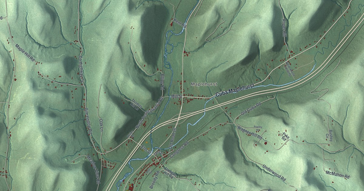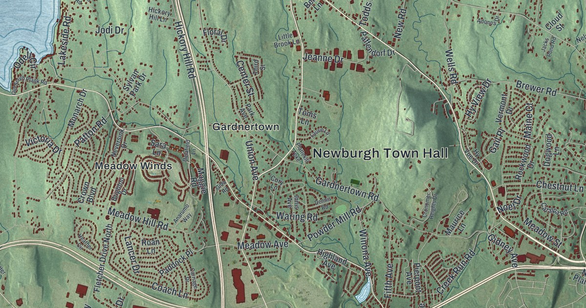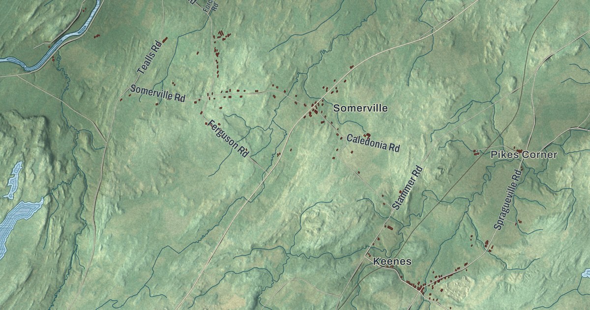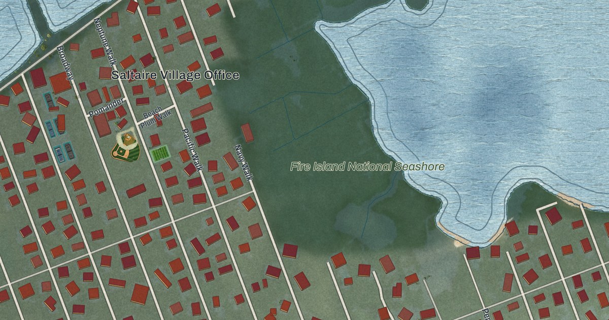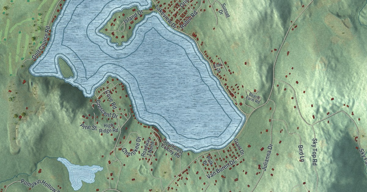
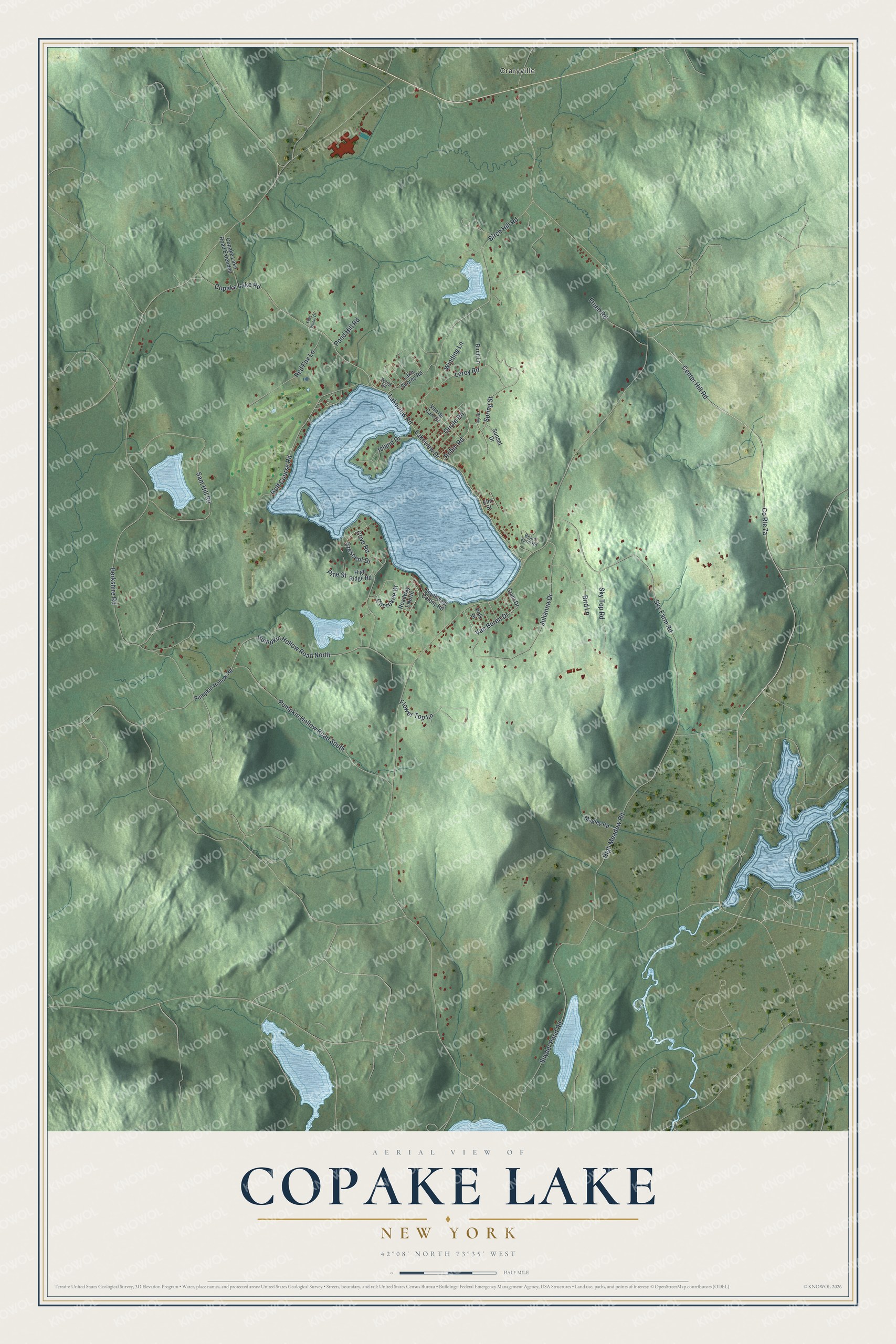
This beautifully detailed map of Copake Lake, New York was created in 2026 using aerial imagery combined with modern topographical, census, street and landmark data. It's a modern aerial view of Copake Lake in Columbia County, New York, that combines modern data with a vintage aesthetic. The roads feature printed names, and if you look closely you can find your exact house accurately shown in its correct location.
Explore an aerial view of Copake Lake, New York
On this map you'll find Craryville, Lakeview Road, Robin Road, Lakeview Drive, Van Buren Drive, Oriole Road, Cove Road, Crescent Drive, Golf Course Road, Pumpkin Hollow Road North, Center Hill Road, Berkshire Road, and more. Each red shape is a building, so zoom in on the preview and look for yours.
Here is a piece of Copake Lake history. Copake Lake covers about six hundred acres, is some nine miles around and in places thirty-six feet deep, and fine bass were found in abundance in its waters. Near its western end lies a wooded peninsula called The Island, where members of the Livingston family built a large house in 1809. The island peninsula holds about twenty acres, once mostly covered with chestnut trees. That's from the History of Columbia County.
Copake Lake is a community in Columbia County. The Census Bureau counted 767 people here in 2020.
Take a closer look at the Copake Lake map
Names on this map
These names are printed on this map.
Places: Craryville.
Streets and roads: Lakeview Road, Robin Road, Lakeview Drive, Van Buren Drive, Oriole Road, Cove Road, Crescent Drive, Golf Course Road, Pumpkin Hollow Road North, Center Hill Road, Berkshire Road, Sky Farm Road.
More street names, A to Z
Beach Farm Road, Birch Hill Road, Birch Lane, Bird Lane, Cherokee Drive, Copake Lake Road, Copake Lake Road Extended, Elm Street, Flower Top Lane, Four Wheel Drive, Frueh Road, Grant Drive, High Meadow Road, High Ridge Road, Island Drive, Ivy Street, Julianna Drive, Lake Shores Road, Leroy Road, Magley Road, Pine Street, Polk Drive, Pond Hill Road, Pumpkin Hollow Road, Pumpkin Hollow Road South, Red Fox Lane, Roadway 1 North, Sam Hill Road, Sky Top Road, Snyder Pond Road, Southwest Colony Road, Spring Street, Sunset Drive, Van de Carr Drive, Wang Road, Winding Lane.
See it on a wall
The Copake Lake map as a framed print. Swipe for more.


Created by KNOWOL in 2026. The buildings are small red shapes, the roads carry their printed names, and shaded relief shows the shape of the land. The title panel reads "AERIAL VIEW OF COPAKE LAKE, NEW YORK" with 42°08' NORTH 73°35' WEST.
It suits a den, a classroom or a front hall, and it makes a gift for anyone with Copake Lake roots. Open the preview and find the block you know. See sizes and frames for the Copake Lake map.