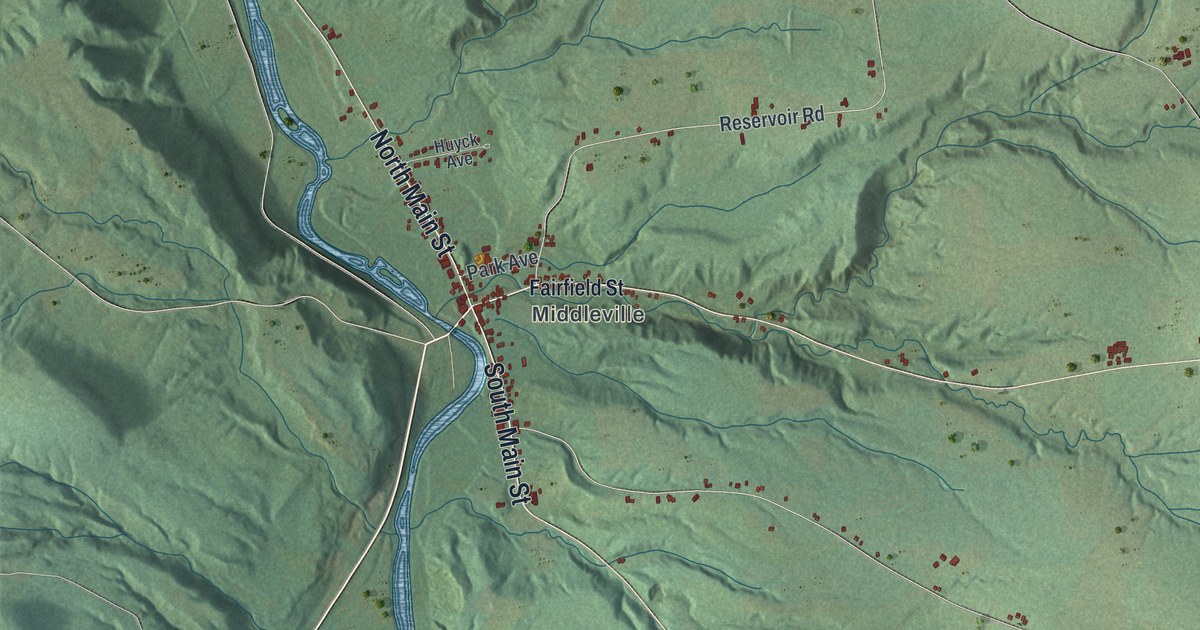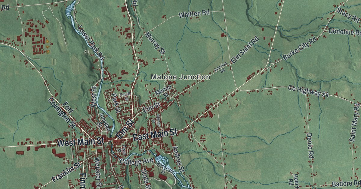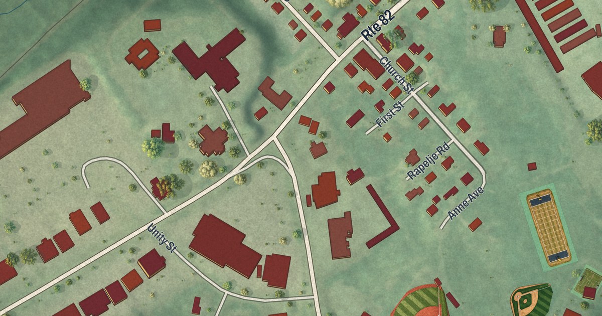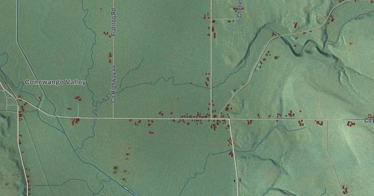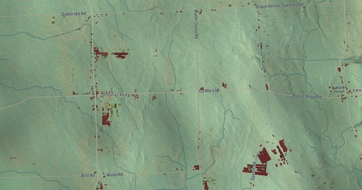
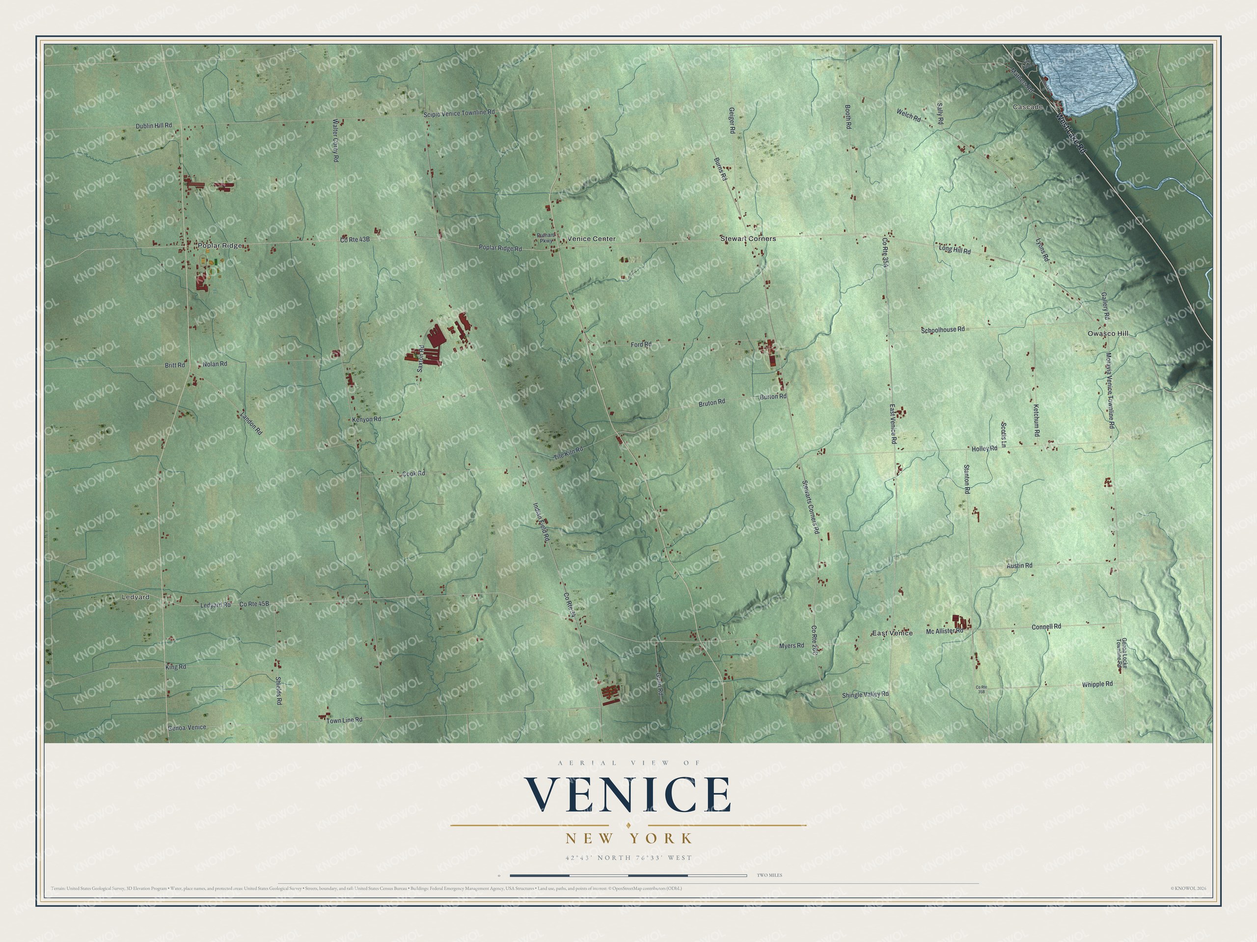
This beautifully detailed map of Venice, New York was created in 2026 using aerial imagery combined with modern topographical, census, street and landmark data. It’s a one-of-a-kind view of Venice that combines accurate data with a vintage aesthetic. The map shows every building in its true location, many of the roads carry their names, and the shaded topographic relief shows the shape of the land.
Explore an aerial view of Venice, New York
On the map you’ll find Cascade, Ledyard, East Venice, Owasco Hill, and Poplar Ridge, along with Lake Road, Moravia Venice Townline Road, Mc Allister Road, Myers Road, Connell Road, and more. If you look closely you can even find your house accurately drawn in its correct location. Zoom in on the preview to look for yours.
Did You Know?
Venice was formed from the town of Scipio in 1823. When white settlers first arrived around 1800, they found wide cleared and planted fields along Salmon Creek near the center of town. An Indian burial ground lay near those fields. The remains of an old fortification stood on the ridge east of the creek. That’s from the 1860 Gazetteer of the State of New York.
Take a closer look at the Venice map
Names on this map
These names are printed on this map.
Places: Cascade, Ledyard, East Venice, Owasco Hill, Poplar Ridge, Stewart Corners and Venice Center.
Streets and roads: West Lake Road, Moravia Venice Townline Road, Mc Allister Road, Myers Road, Connell Road, Indian Field Road, Walter Corey Road, Long Hill Road, County Route 34, Stewarts Corners Road, East Venice Road, Genoa-Venice.
More street names, A to Z
Austin Road, Booth Road, Britt Road, Bruton Road, Burns Road, Burton Road, Cook Road, Dublin Hill Road, Firelane 3, Fire Lane 5, Ford Road, Gallery Road, Geiger Road, Genoa Locke Townline Road, Gunn Road, Holley Road, Kenyon Road, Ketchum Road, King Road, Landon Road, Ledyard Road, Lyons Road, Mathers Road, Nolan Road, Poplar Ridge Road, Putnam Parkway, Sally Road, Saxton Road, Schoolhouse Road, Scipio Venice Townline Road, Scotts Lane, Shields Road, Shingle Valley Road, Stanton Road, Tile Kiln Road, Town Line Road, Welch Road, Whipple Road.
See it on a wall
The Venice map as a framed print. Swipe for more.


This beautifully detailed map of Venice makes an attractive addition to your office, library, or den, and it can even be used to teach children the geography and history of the area. It also makes a great gift for someone who left Venice and still calls it home. When you’re done exploring, click here to get your copy of the Venice map.