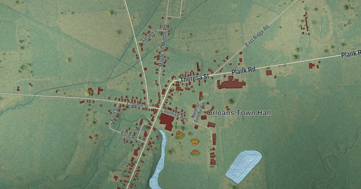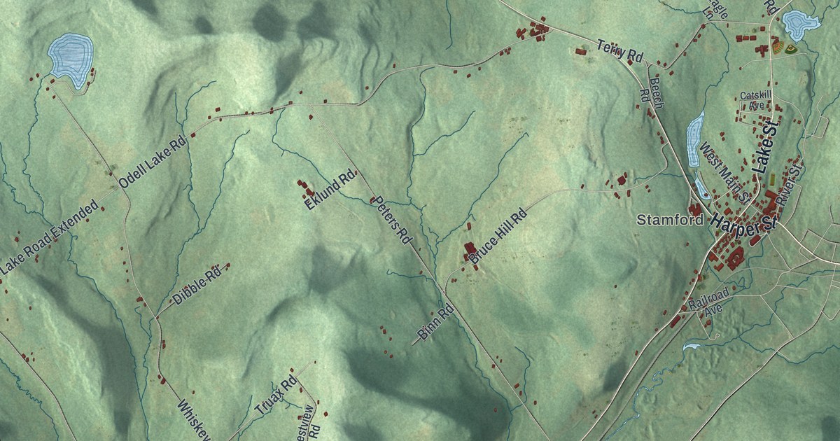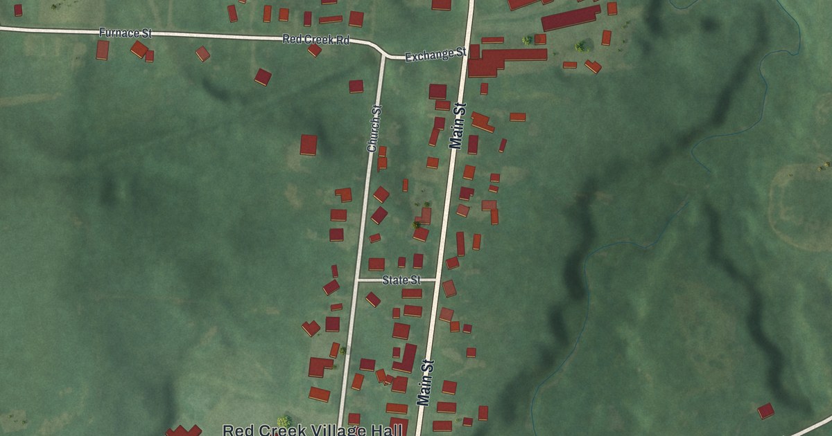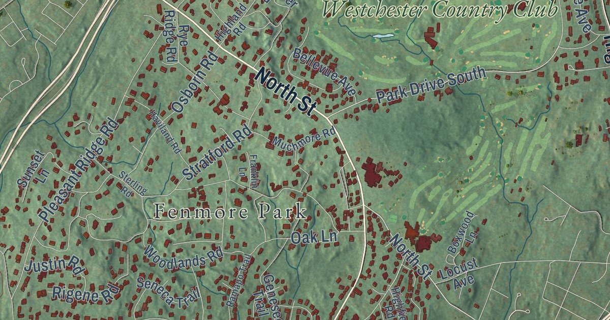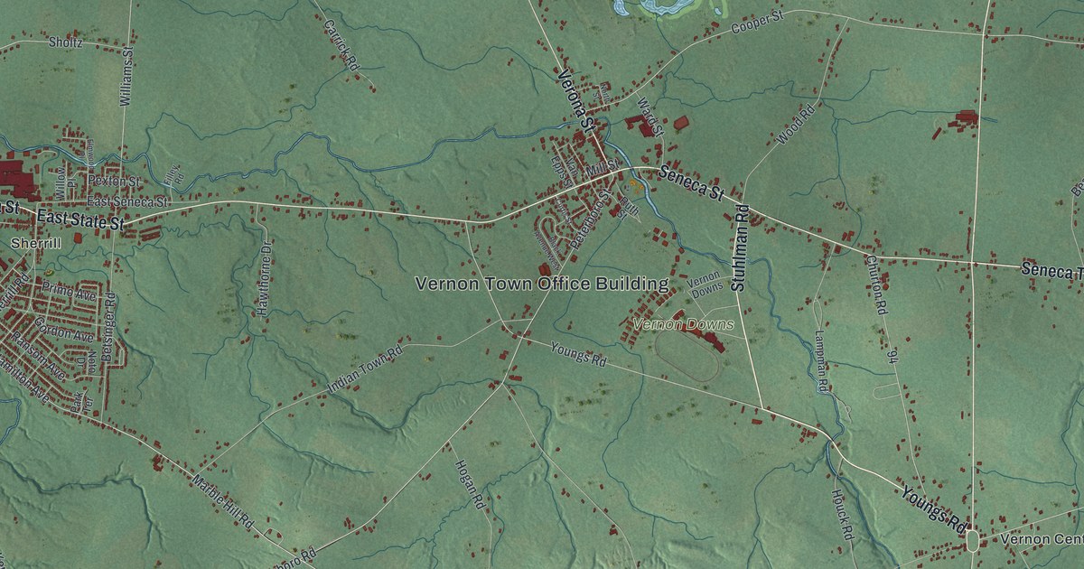
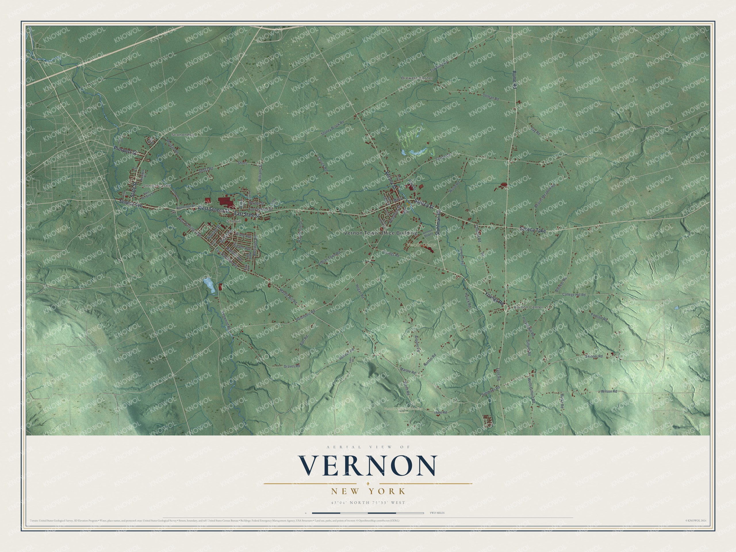
This beautifully detailed map of Vernon, New York was created in 2026 using aerial imagery combined with modern topographical, census, street and landmark data. It’s a one-of-a-kind view of Vernon that combines accurate data with a vintage aesthetic. The map shows every building in its true location, many of the roads carry their names, and the shaded topographic relief shows the shape of the land.
Explore an aerial view of Vernon, New York
On the map you’ll find Vernon Town Office Building, Oneida Castle, Brewers Corner, Sconondoa, Sherrill, Vernon Center, and Vernon National Shooting Preserve, along with Seneca Avenue, Youngs Road, Stuhlman Road, Seneca Street, and more. If you look closely you can even find your house accurately drawn in its correct location. Zoom in on the preview to look for yours.
Did You Know?
The Church of Christ in Vernon is a small brick church built in 1821. A marble plaque set into its front wall states the rule of the house. The church was free for any people to worship God in, whenever the Baptists were not using it. That’s from the 1940 WPA guide to New York.
Take a closer look at the Vernon map
Names on this map
These names are printed on this map.
Places: Vernon Town Office Building, Oneida Castle, Vernon Downs, Vernon National Shooting Preserve, Brewers Corner, Sconondoa, Sherrill and Vernon Center.
Streets and roads: Seneca Avenue, Youngs Road, Stuhlman Road, West Seneca Street, Rome Road, Seneca Turnpike, State Street, Seneca Street, Verona Street, Prospect Street, East State Street, Marble Hill Road.
More street names, A to Z
Arquint Road, Barr Road, Beaver Meadow Road, Betsinger Road, Black Avenue West, Bleeker Road, Burke Road, Burns Road, Carrick Road, Castle Street, Churton Road, College Hill Road, Cooper Street, Curtis Street, Day Road, East Hamilton Avenue, East Second Street, East Seneca Street, Eaton Road, Elmwood Place, Fancett Road, Filley Road, Gifford Road, Gordon Avenue, Graves Road, Hawthorne Drive, Highbridge Road, Highland Avenue, Hogan Road, Houck Road, Hunt Road, Indian Town Road, Kenwood Road, Kinsley Street, Lampman Road, Lyon Road, Marble Road, Mill Street, Morgan Road, Ninth Street, North Street, Norton Road, Noto Drive, Ottman Road, Park Terrace, Peterboro Road, Peterboro Street, Pexton Street, Potash Hill Road, Pratt Drive, Primo Avenue, Ransom Avenue, Ruth Street, Sconondoa Street, Sherrill Road, Sholtz, Sholtz Road, Simmons Road, Skinner Road, Steuben Place, Stoney Brook Road, Sullivan Road, The Trail, Townline Road, Van Epps Street, Ward Street, Wayland Street, Wells Gifford Road, West Hamilton Avenue, Williams Street, Willow Place, Wilson Road, Wood Road.
See it on a wall
The Vernon map as a framed print. Swipe for more.


This beautifully detailed map of Vernon makes an attractive addition to your office, library, or den, and it can even be used to teach children the geography and history of the area. It also makes a great gift for anyone with Vernon roots. When you’re done exploring, click here to get your copy of the Vernon map.