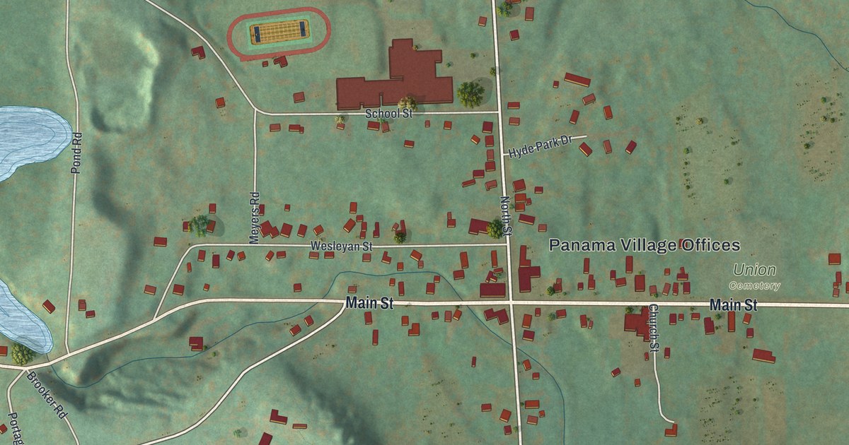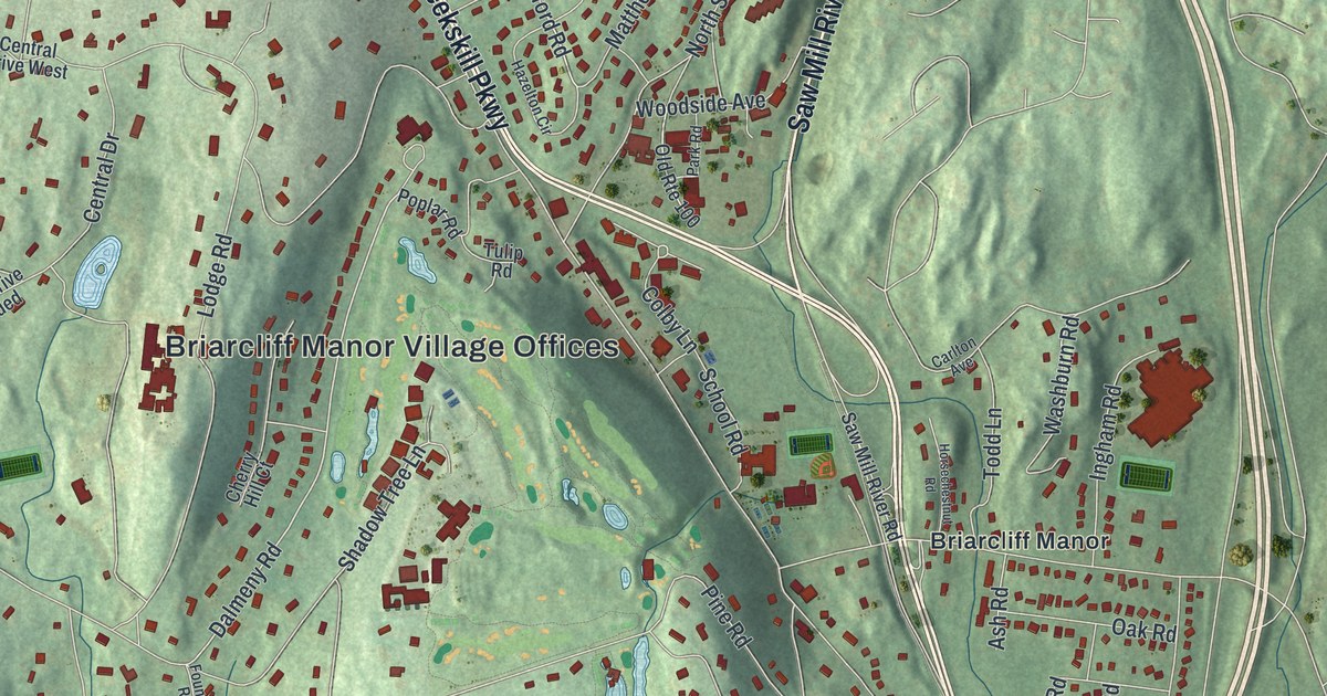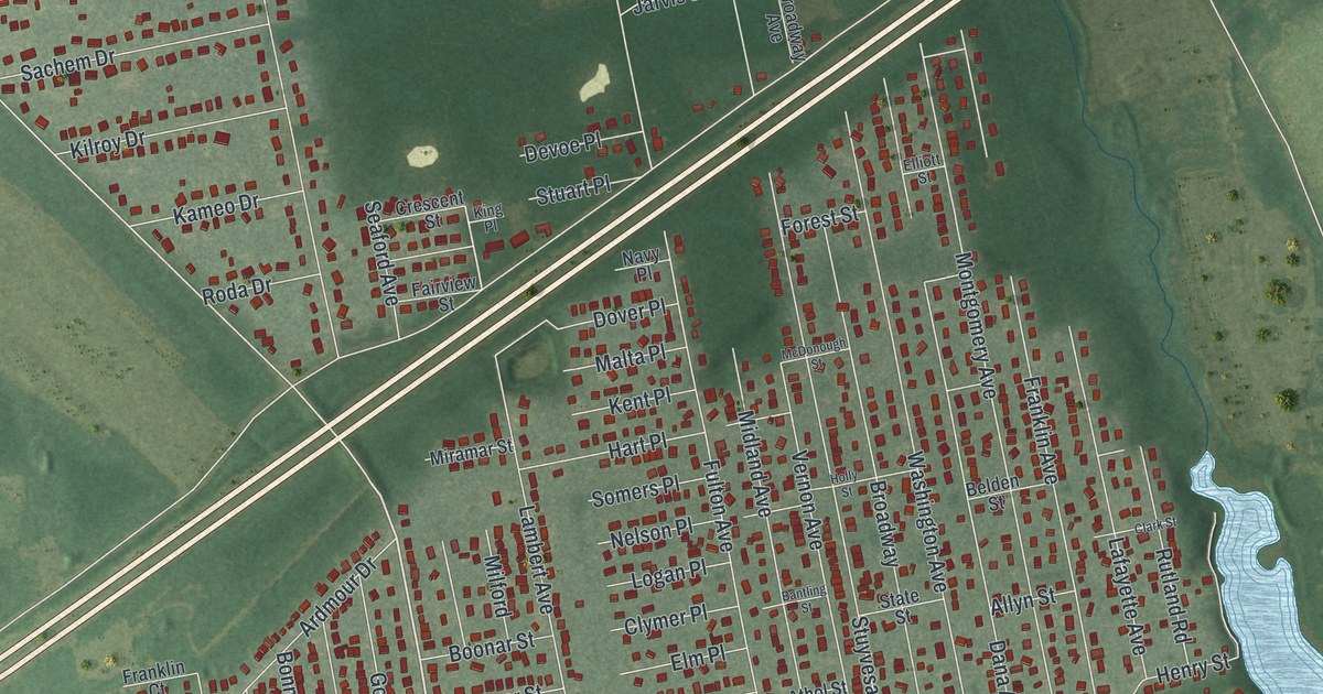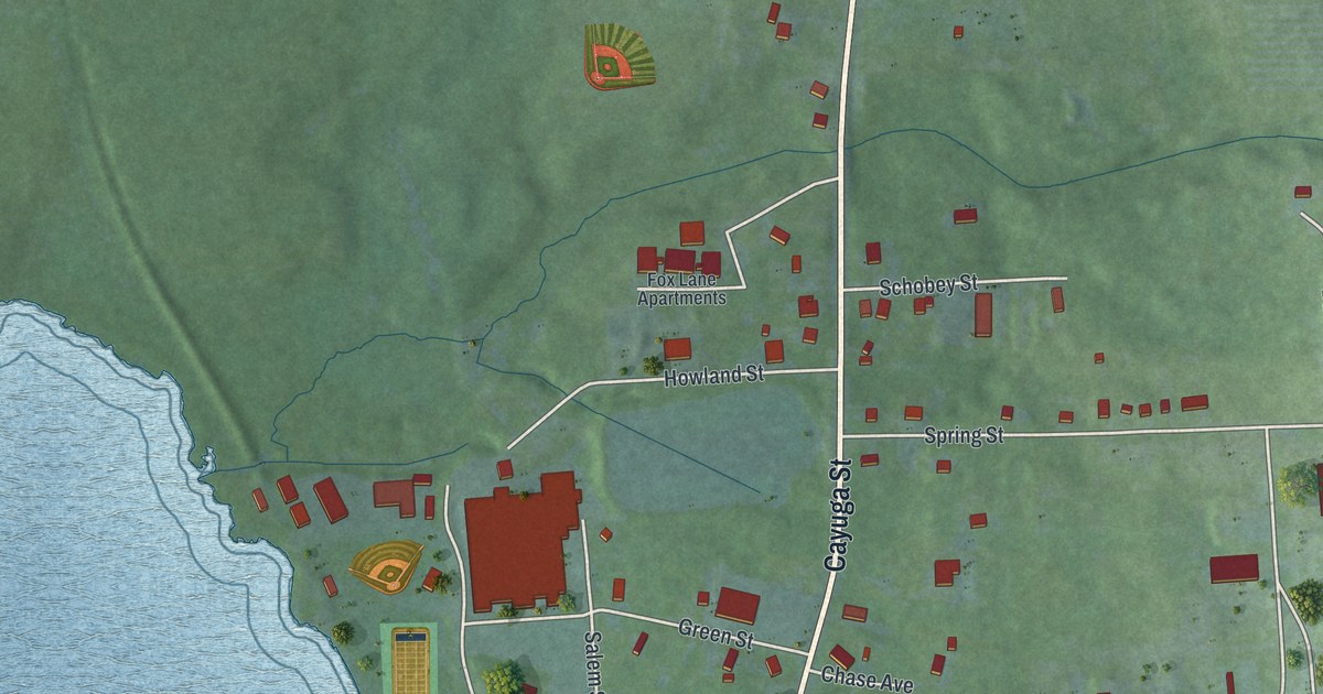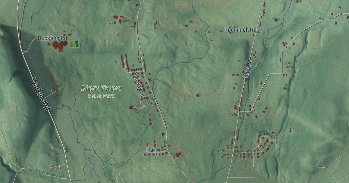
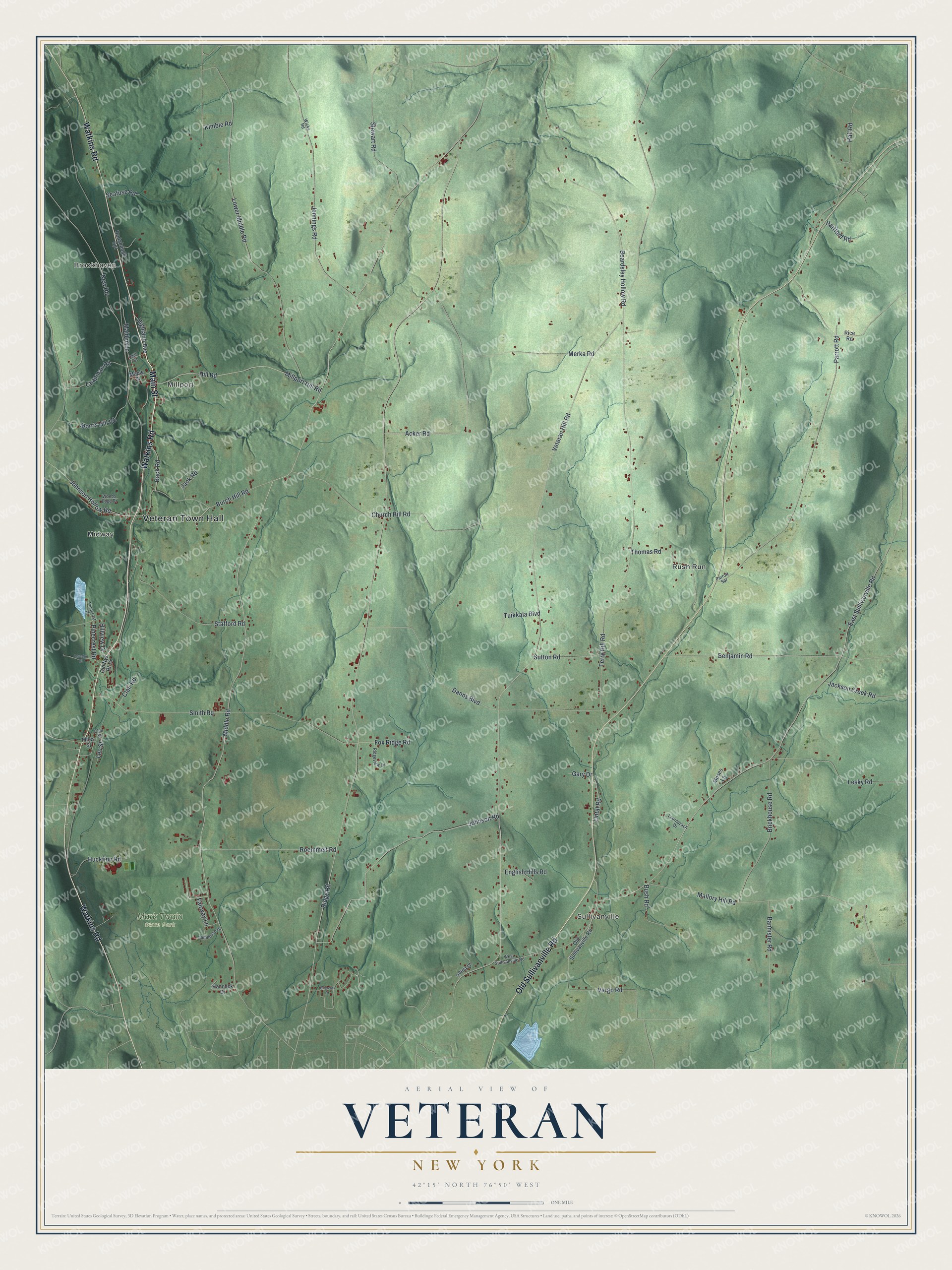
This beautifully detailed map of Veteran, New York was created in 2026 using aerial imagery combined with modern topographical, census, street and landmark data. It’s a one-of-a-kind view of Veteran that combines accurate data with a vintage aesthetic. The map shows every building in its true location, many of the roads carry their names, and the shaded topographic relief shows the shape of the land.
Explore an aerial view of Veteran, New York
On the map you’ll find Veteran Town Hall, Brookhaven, Millport, Sullivanville, Midway, Rush Run, and Mark Twain State Park, along with Main Street, Watkins Road, Old Sullivanville Road, Middle Road, and more. If you look closely you can even find your house accurately drawn in its correct location. Zoom in on the preview to look for yours.
Did You Know?
Veteran’s name honors its first settler, Green Bentley. He arrived around 1798 after fighting in both the French and Indian War and the American Revolution. The town was formed from Catharine in 1823 and named for his service in those two wars.
Take a closer look at the Veteran map
Names on this map
These names are printed on this map.
Places: Veteran Town Hall, Brookhaven, Millport, Sullivanville, Midway, Mark Twain State Park and Rush Run.
Streets and roads: Main Street, Watkins Road, Old Sullivanville Road, Middle Road, Ridge Road, Veteran Hill Road, Terry Hill Road, East Sullivanville Road, Parrott Road, Mallory Hill Road, Smith Road, Danns Boulevard.
More street names, A to Z
Acker Road, Back Road, Bannister Road, Beardsley Hollow Road, Benjamin Road, Briarcliff Drive, Brickhouse Road, Burch Hill Road, Bush Road, Chapman Road, Church Hill Road, Clair Road, Clair Street, Clubhouse Drive, English Hills Road, Fairway Lane, Fox Ridge Road, Gary Drive, Hall Road, Hancock Drive, Hartford Road, Highland Avenue, Hill Road, Hillview Drive, Huckfinn Road, Jack Road, Jackson Creek Road, Jennings Road, Johnson Hollow Road, Johnson Road, Kimble Road, Laurnazach Drive, Lee Street, Lesky Road, Lintal Road, Loredon Drive, Lower Middle Road, Maiden Lane, Maple Street, Merka Road, Miles Street, Millport Hill Road, Mill Street, Morris Hill Road, Moses Lane, New Road, Old Nys Rt 14, Parrott Spr, Paula Drive, Pinecrest Drive, Pinecrest Road, Rice Road, Ridgeview Lane, Rodabaugh Spr, Roemmelt Road, Seafuse Road, Stafford Road, Stewart Road, Sutton Road, Thomas Road, Tuikkala Boulevard, Vargo Road, West Sullivanville Road, Wicks Road, Woods Edge Drive.
See it on a wall
The Veteran map as a framed print. Swipe for more.


This beautifully detailed map of Veteran makes an attractive addition to your office, library, or den, and it can even be used to teach children the geography and history of the area. It also makes a great gift for anyone who grew up in Veteran or moved away. When you’re done exploring, click here to get your copy of the Veteran map.