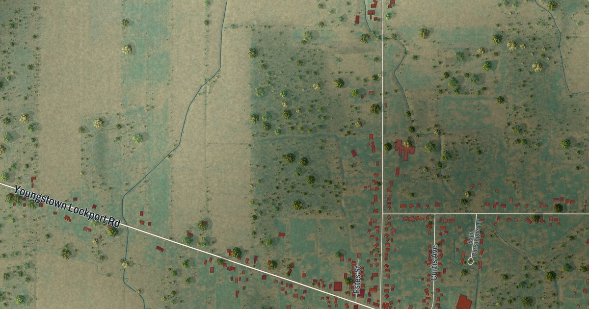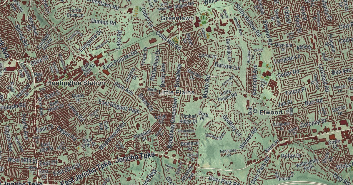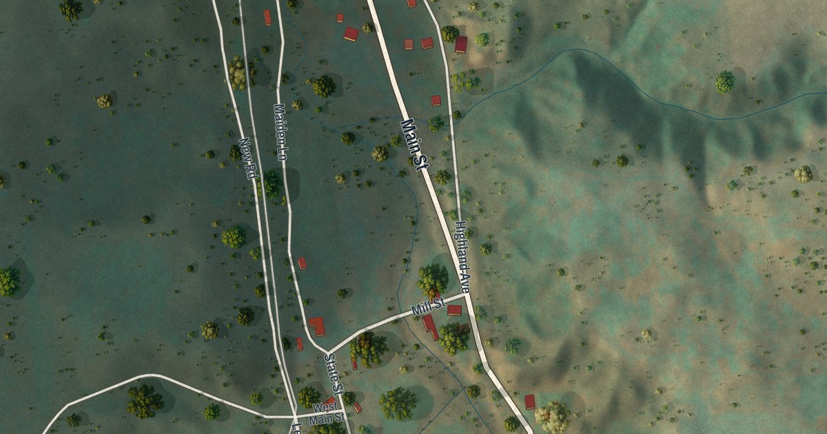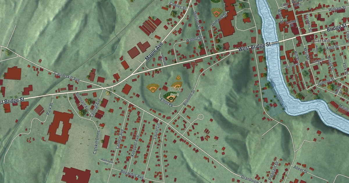
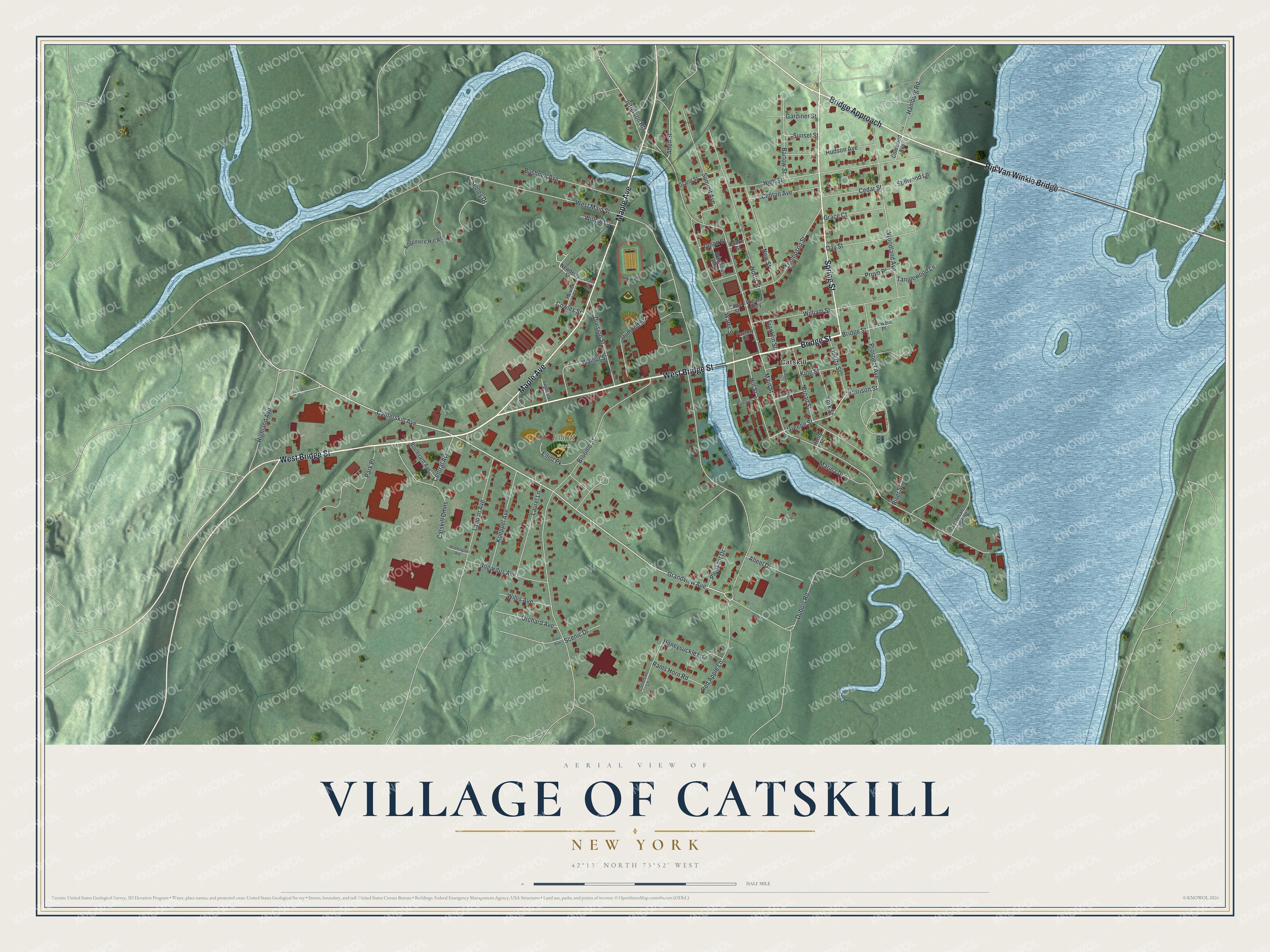
This beautifully detailed map of the Village of Catskill, New York was created in 2026 using aerial imagery combined with modern topographical, census, street and landmark data. It’s a one-of-a-kind view of the Village of Catskill that combines accurate data with a vintage aesthetic. The map shows every building in its true location, many of the roads carry their names, and the shaded topographic relief shows the shape of the land.
Explore an aerial view of the Village of Catskill, New York
On the map you’ll find Rip Van Winkle Bridge, Bridge Approach, and Elliott Park, along with Bridge Street, Maple Avenue, Spring Street, and more. If you look closely you can even find your house accurately drawn in its correct location. Zoom in on the preview to look for yours.
Did You Know?
Most of the land under the village was bought from Native people in 1684. When the American Revolution ended, only ten houses stood here. Catskill incorporated in 1806 and is one of just twelve New York villages still under a charter. Martin Van Buren’s wedding took place in Catskill.
Take a closer look at the Village of Catskill map
Names on this map
These names are printed on this map.
Places: Elliott Park and Catskill.
Streets and roads: Bridge Street, West Bridge Street, Rip Van Winkle Bridge, Maple Avenue, Spring Street, Bridge Approach, West Main Street, Grandview Avenue, Cauterskill Avenue, Greene Street, Harrison Street, Main Street.
More street names, A to Z
Abeel Drive, Allen Street, Bartow Street, Bogardus Avenue, Boulevard Avenue, Brandows Alley, Broad Street, Bronson Street, Broome Street, Bushnell Avenue, Canal Street, Catskill Cmns, Cedar Street, Central Avenue, Clinton Avenue, Colewood Avenue, Cooke Street, Cottontail Lane, Cowles Street, Day Street, Depot Street, Division Street, Dubois Road, Dumond Street, Dutchman's Landing, Edgemere Hill Road, Elliot Pk, Factory Street, Franklin Street, Gardiner Street, Grace Court, Grand Street, Hamburg Road, Henry Street, Highland Avenue, High Street, Hill Street, Honeysuckle Lane, Howell Street, Hudson Avenue, Jefferson Heights, King Street, Koeppel Avenue, Landon Avenue, Laurel Lane, Liberty Street, Livingston Street, Marina Drive, Newberry Street, New Street, North Street, Orchard Avenue, Park Place, Pleasant Drive, Post Avenue, Powers Place, Prospect Avenue, Pruyn Place, Rams Horn Road, Red Apple Lane, River Street, Sandbank Road, Scenic Drive, Seeley Drive, Stillwood Lane, Summit Avenue, Sunset Street, Tanglewood Lane, Thompson Street, Union Street, Walnut Street, Washington Avenue, Water Street, Willard Alley, William Street, Willis Avenue, Willow Lane, Windsor Street, Woodland Avenue, York Street.
See it on a wall
The Catskill map as a framed print. Swipe for more.


This beautifully detailed map of the Village of Catskill makes an attractive addition to your office, library, or den, and it can even be used to teach children the geography and history of the area. It also makes a great gift for someone who left the Village of Catskill and still calls it home. When you’re done exploring, click here to get your copy of the Village of Catskill map.