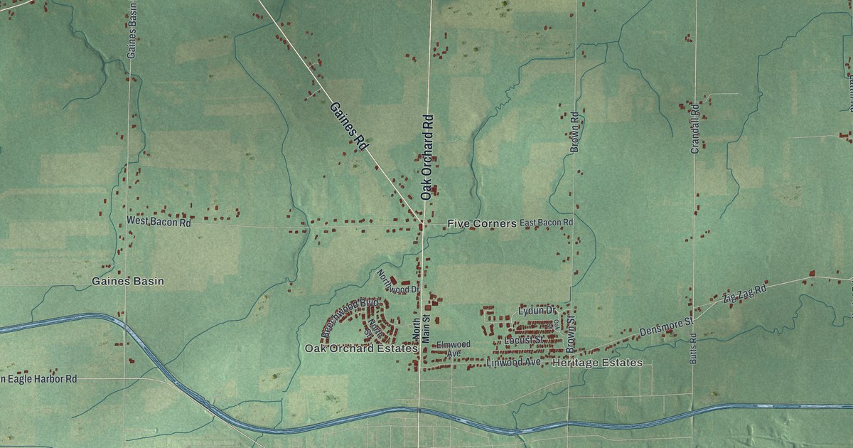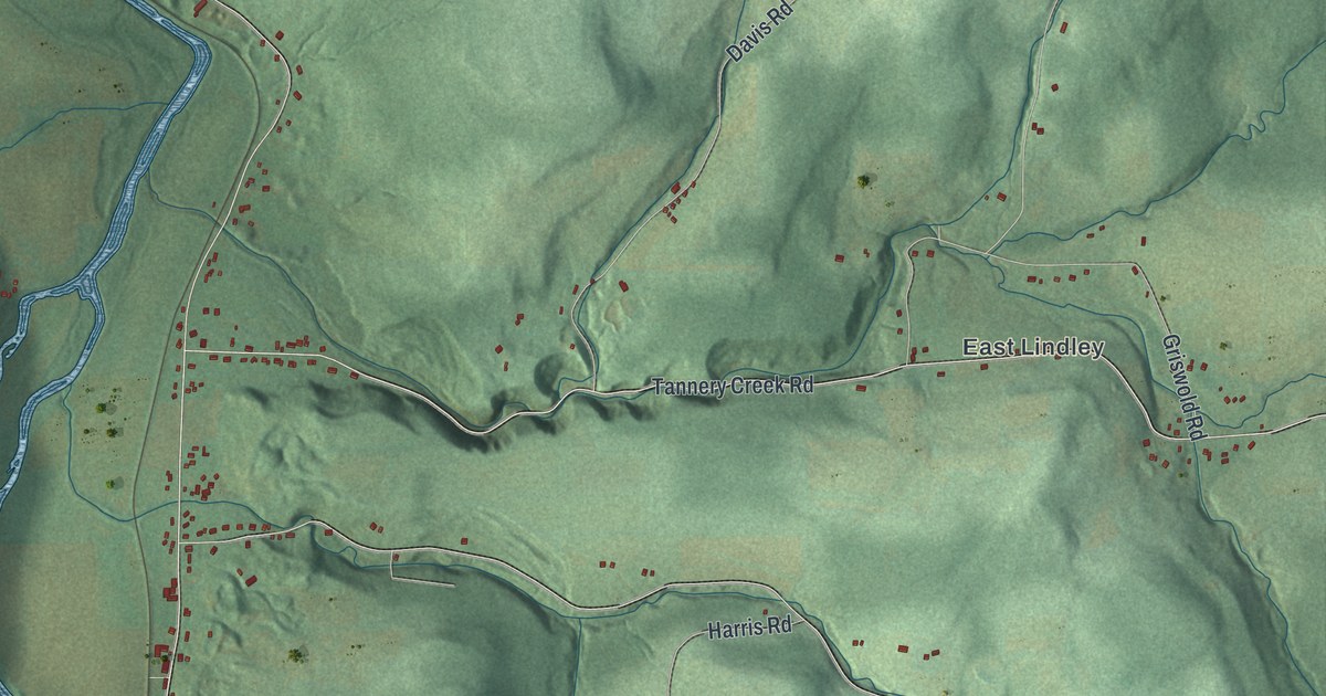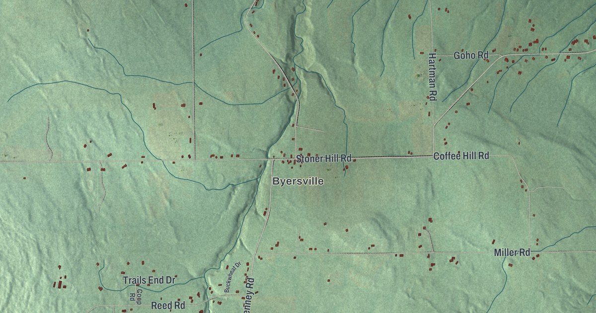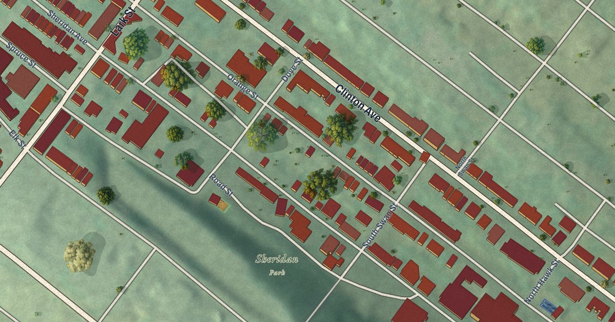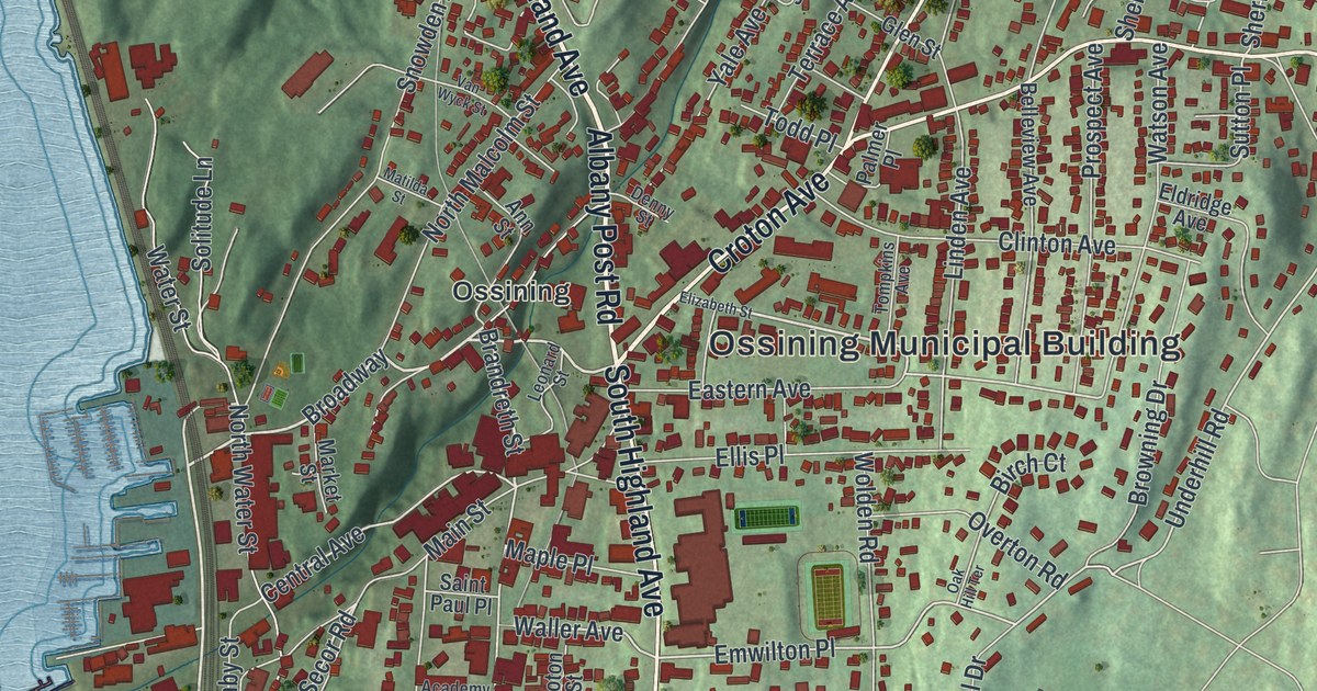
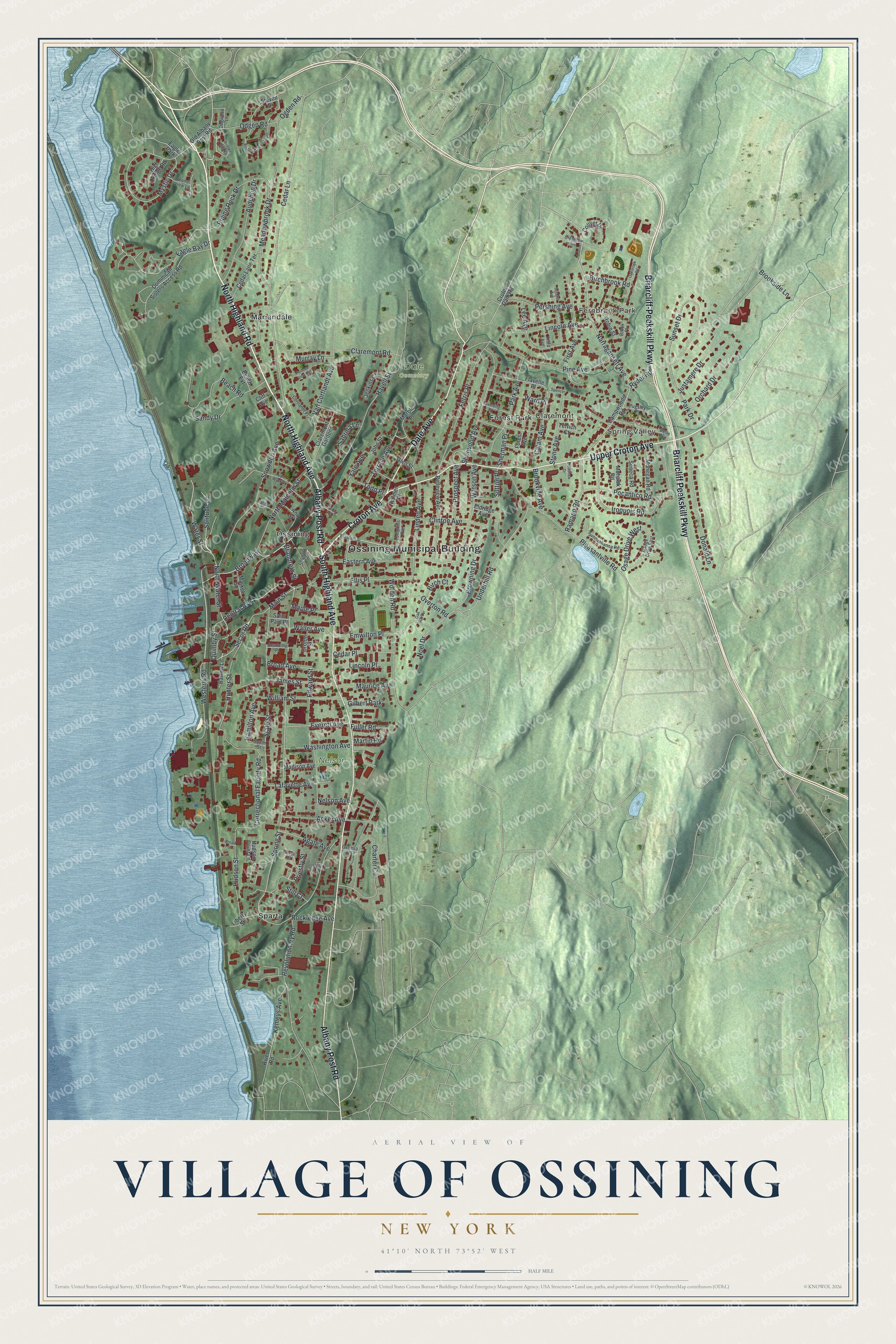
This beautifully detailed map of the Village of Ossining, New York was created in 2026 using aerial imagery combined with modern topographical, census, street and landmark data. It’s a one-of-a-kind view of the Village of Ossining that combines accurate data with a vintage aesthetic. The map shows every building in its true location, many of the roads carry their names, and the shaded topographic relief shows the shape of the land.
Explore an aerial view of the Village of Ossining, New York
On the map you’ll find Ossining Municipal Building, Spring Valley, Fernbrook Park, Claremont, Forest Park, Mariandale, Dale Cemetery, and Nelson Park, along with Highland Avenue, Upper Croton Avenue, Highland Road, Albany Post Road, and more. If you look closely you can even find your house accurately drawn in its correct location. Zoom in on the preview to look for yours.
Did You Know?
Until 1901 Ossining shared its name with the state prison there. That year the village took a new name to escape the stigma of the link. The prison is still the largest employer in Ossining.
Take a closer look at the Village of Ossining map
Names on this map
These names are printed on this map.
Places: Ossining Municipal Building, Spring Valley, Fernbrook Park, Claremont, Dale Cemetery, Nelson Park, Forest Park, Mariandale, Ossining, Sparta, Gilbert Park and Eagle Park.
Streets and roads: North Highland Avenue, Upper Croton Avenue, North Highland Road, Albany Post Road, Croton Avenue, Briarcliff Peekskill Parkway, Dale Avenue, South Highland Avenue, Briarcliff-Peekskill Parkway, Westerly Road, Broadway, Brandreth Street.
More street names, A to Z
Academy Place, Acker Avenue, Agate Avenue, Ann Street, Audubon Drive, Barlow Lane, Beach Extension, Beach Road, Belle Avenue, Belleview Avenue, Birchbrook Road, Birch Court, Bradshaw Drive, Briarcliff Drive South, Broad Avenue, Broad Street, Brooke Club Drive, Brook Place, Brookside Lane, Brookville Avenue, Browning Drive, Calam Avenue, Campwoods Road, Cedar Lane, Cedar Lane Terrace, Cedar Place, Central Avenue, Charter Circle, Claremont Gardens, Claremont Road, Cliff Avenue, Clinton Avenue, Collyer Drive, Correctional Facility Road, Cortlandt Place, Croton Dam Road, Croton Street, Davids Drive, Denny Street, Dogwood Lane, Dominican Sisters Access Road, Donald Lane, Eagle Bay Drive, Eastern Avenue, Edward Street, Eldridge Avenue, Elizabeth Street, Ellis Place, Emwilton Place, Everett Avenue, Ferris Place, First Avenue, Flavelle Place, Forest Avenue, Fuller Road, Geneva Road, Glen Street, Grandview Avenue, Hamilton Avenue, Havell Street, High Ridge Road, Hudson Point Lane, Hudson Street, Hudson View Hill, Hunter Street, Iroquois Road, James Street, Jenkins Court, John Street, Justamere Drive, Kemeys Avenue, Lafayette Avenue, Lee Avenue, Leonard Street, Liberty Street, Lincoln Avenue, Lincoln Place, Linden Avenue, Madison Avenue, Main Street, Maple Place, Marble Place, Market Street, Martin Road, Matilda Street, Maurice Avenue, Meadowbrook Drive, Mohawk Road, Mohegan Road, Murray Lane, Mystic Drive, Narragansett Avenue, Nelson Avenue, Noel Drive, North Malcolm Street, North Water Street, Oakbrook Road, Oak Hill Terrace, Odgen Road, Ogden Road, Old Albany Post Road, Orchard Drive, Osage Drive East, Osage Drive West, Overton Road, Palmer Place, Park Avenue, Park Drive, Pershing Avenue, Pine Avenue, Piping Rock Drive, Pleasantville Road, Pocantico Road, Pond View Lane, Priestly Street, Prospect Avenue, Pugsley Place, Quimby Street, Ramapo Road, Revolutionary Road, River Road, Robin Street, Rockledge Avenue, Ryder Road, Sabrina Lane, Saint Paul Place, Sandy Drive, Second Avenue, Secor Road, Seneca Road, Sherman Place, Sherwood Avenue, Snowden Avenue, Solitude Lane, South Street, Spaulding Place, Spencer Place, Spring Street, State Street, Steven Drive, Still Court, Stone Avenue, Sunset Drive, Susquehanna Road, Sutton Place, Terrace Avenue, Terrich Court, Third Avenue, Todd Place, Tompkins Avenue, Underhill Road, Van Cortlandt Avenue, Van Wyck Street, Vista Court, Waller Avenue, Ward Place, Washington Avenue, Water Street, Watson Avenue, William Street, Wolden Road, Yale Avenue.
See it on a wall
The Ossining map as a framed print. Swipe for more.


This beautifully detailed map of the Village of Ossining makes an attractive addition to your office, library, or den, and it can even be used to teach children the geography and history of the area. It also makes a great gift for someone who left the Village of Ossining and still calls it home. When you’re done exploring, click here to get your copy of the Village of Ossining map.