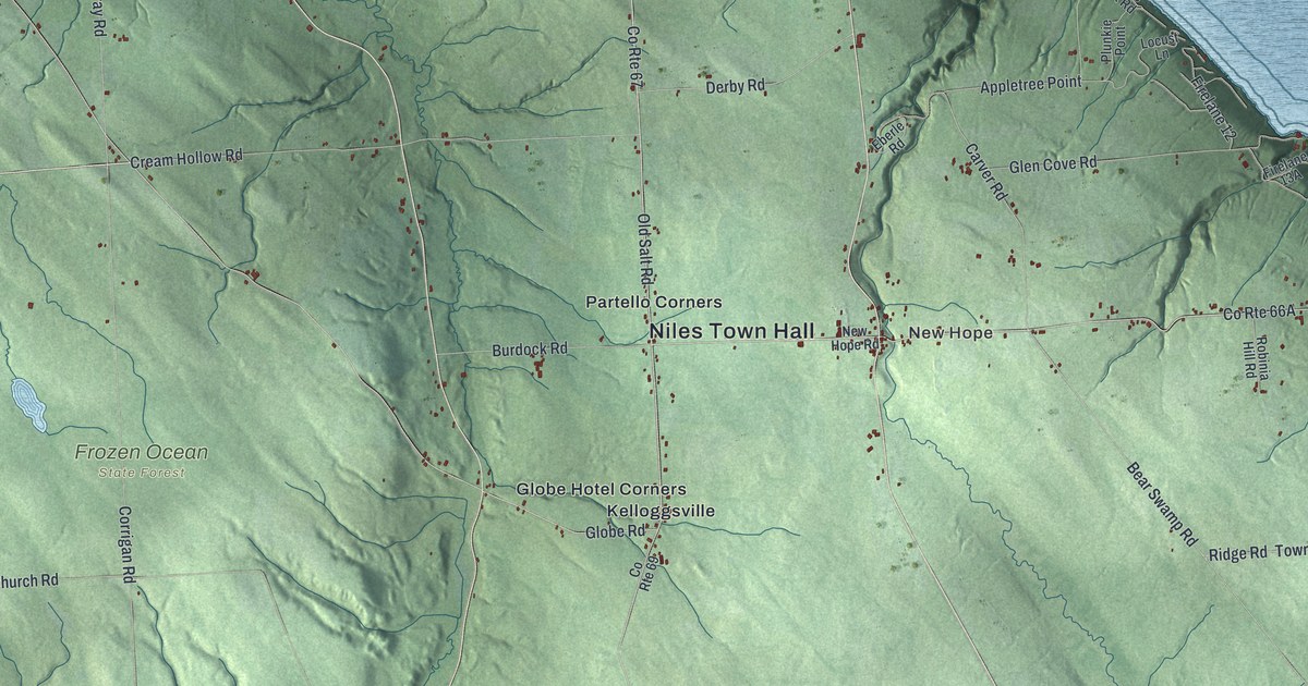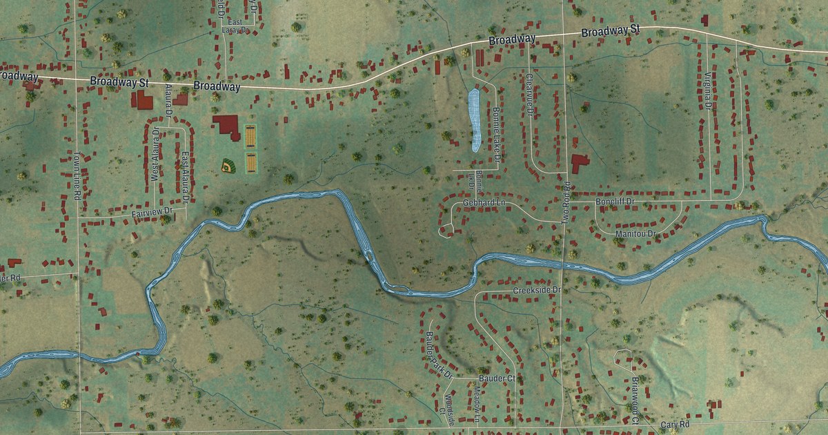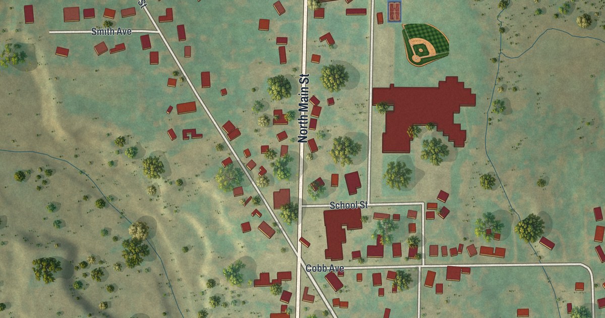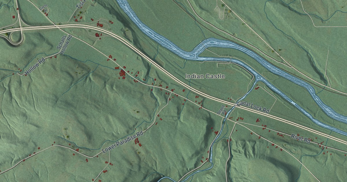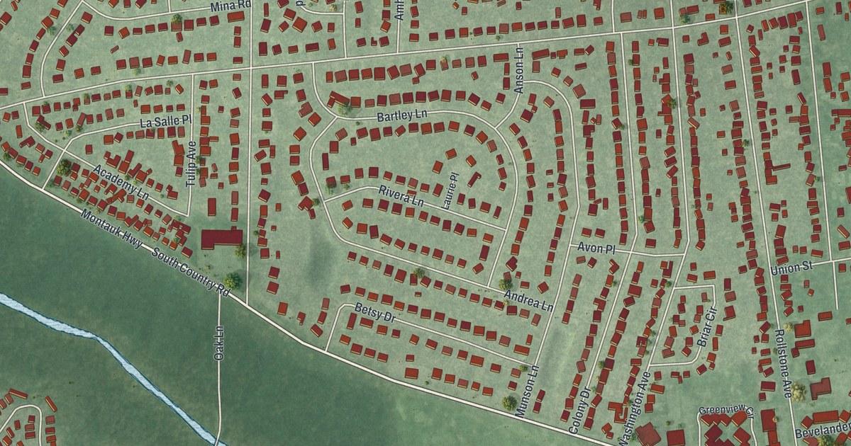
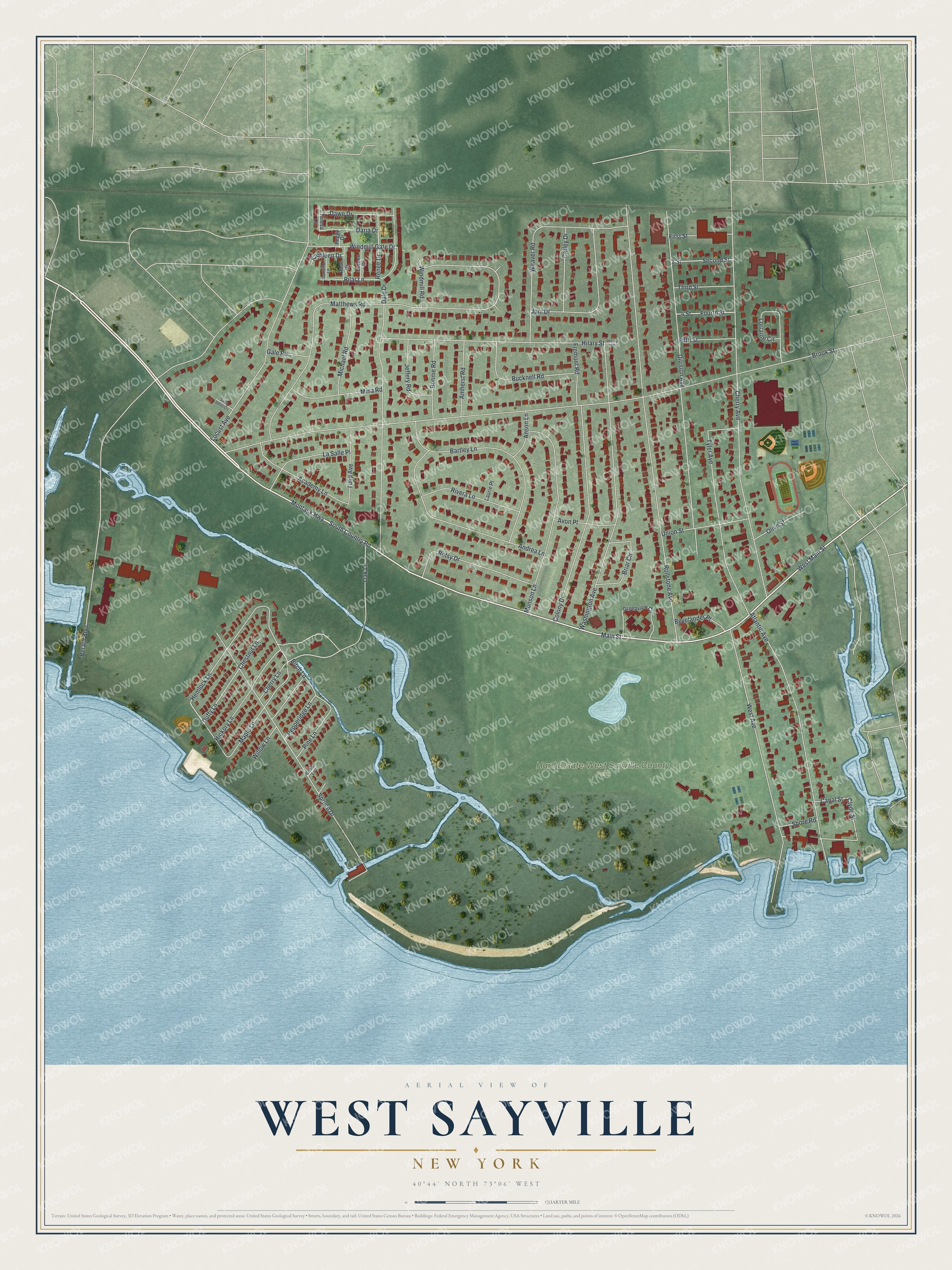
This beautifully detailed map of West Sayville, New York was created in 2026 using aerial imagery combined with modern topographical, census, street and landmark data. It's a modern aerial view of West Sayville in Suffolk County, New York, that combines modern data with a vintage aesthetic. The roads feature printed names, and if you look closely you can find your exact house accurately shown in its correct location.
Explore an aerial view of West Sayville, New York
On this map you'll find Hard Estate-West Sayville County Park, Montauk Highway, South Country Road, Main Street, West Main Street, Oak Lane, Duffy Lane, Clyde Street, Brook Street, Berard Boulevard, Rollstone Avenue, Matthews Road, and more. Each red shape is a building, so zoom in on the preview and look for yours.
West Sayville is a community in Suffolk County. The Census Bureau counted 4,872 people here in 2020. West Sayville sits about 2 miles east of Oakdale, 3 miles southwest of Bayport and 4 miles southeast of North Great River. The map prints the town name in its title panel, with the coordinates below it.
Take a closer look at the West Sayville map
Names on this map
These names are printed on this map.
Places: Hard Estate-West Sayville County Park.
Streets and roads: Montauk Highway, South Country Road, Main Street, West Main Street, Oak Lane, Duffy Lane, Clyde Street, Brook Street, Berard Boulevard, Rollstone Avenue, Matthews Road, Cherry Avenue.
More street names, A to Z
2 Street, 4 Street, Academy Lane, Amherst Road, Andrea Lane, Anson Lane, Atlantic Avenue, Avon Place, Bartley Lane, Betsy Drive, Bevelander Place, Birch Lane, Bonnie Road, Briar Circle, Bucknell Road, Canal Street, Carley Drive, Cedar Lane, Cherry Lane, Chestnut Lane, Colony Drive, Dale Drive, Danielle Lane, Daria Drive, Dawn Drive, Division Avenue, Doreen Drive, Fifth Street, First Street, Fourth Street, Fremont Road, Gale Road, Greenview Circle, Hemlock Lane, Hickory Lane, Hilary Street, Hillary Street, Jeffery Road, Joni Drive, Kathleen Drive, La Salle Place, Laurie Place, Locust Avenue, Lorraine Circle, Maple Lane, Michael Road, Mina Road, Munson Lane, Olive Street, Peggy Drive, Pepperidge Lane, Pilar Lane, Pine Lane, Renee Drive, Rivera Lane, Rose Drive, Saint Johns Circle, Second Street, Shore Road, Spruce Drive, Teresa Lane, Third Street, Tulip Avenue, Tyler Avenue, Union Street, Washington Avenue, Weaver Road, West Avenue, Willow Lane, Windmill Gate Drive, Windmill Road.
See it on a wall
The West Sayville map as a framed print. Swipe for more.


Created by KNOWOL in 2026. The buildings are small red shapes, the roads carry their printed names, and shaded relief shows the shape of the land. The title panel reads "AERIAL VIEW OF WEST SAYVILLE, NEW YORK" with 40°44' NORTH 73°06' WEST.
It suits a den, a classroom or a front hall, and it makes a gift for anyone with West Sayville roots. Open the preview and find the block you know. See sizes and frames for the West Sayville map.