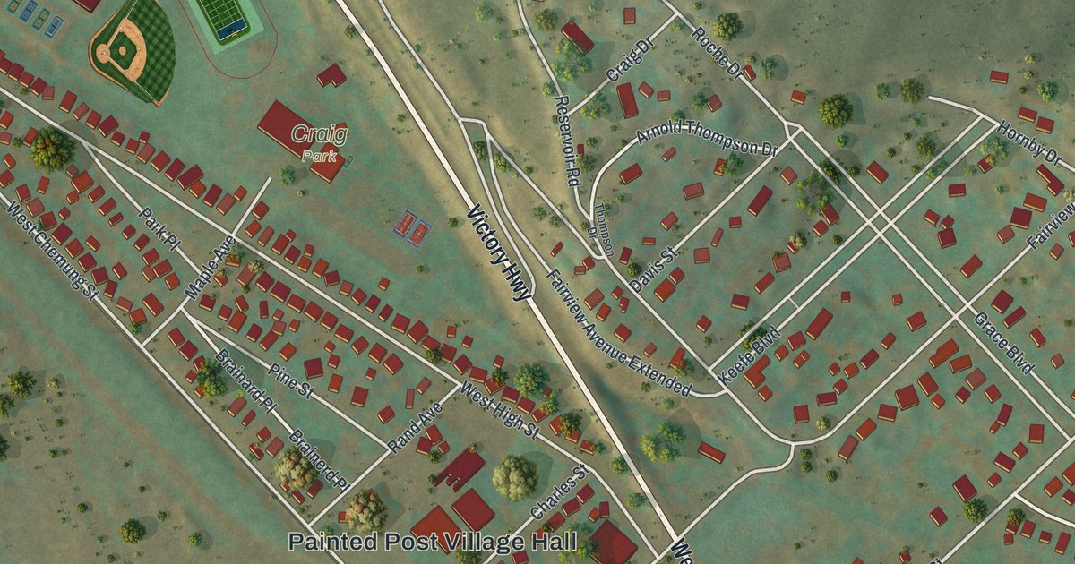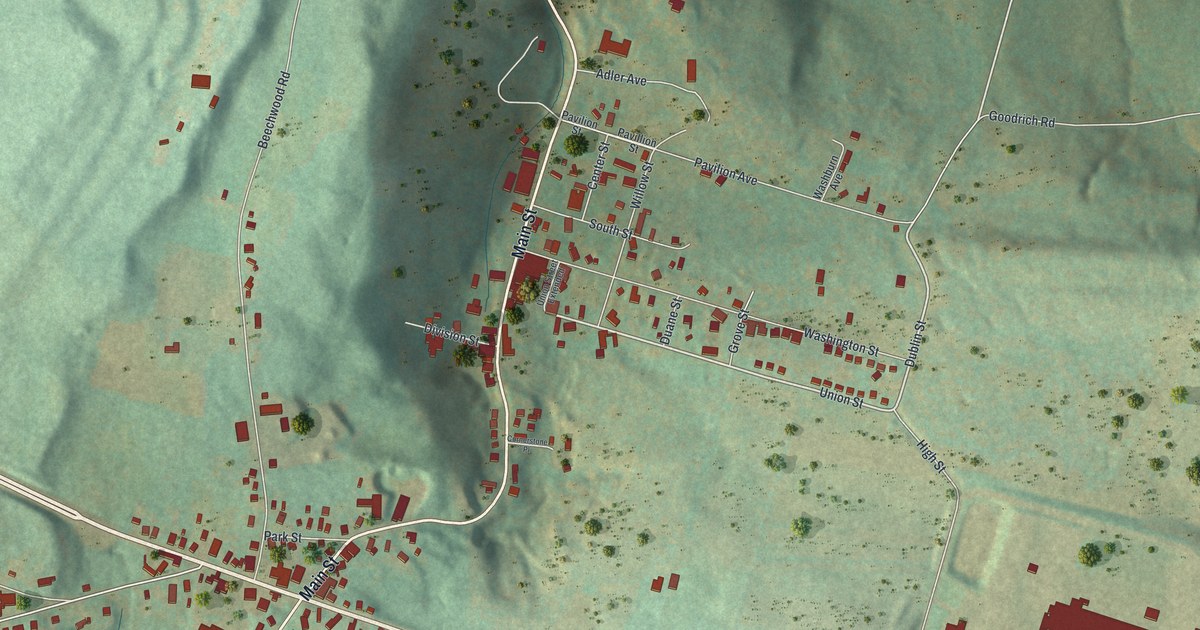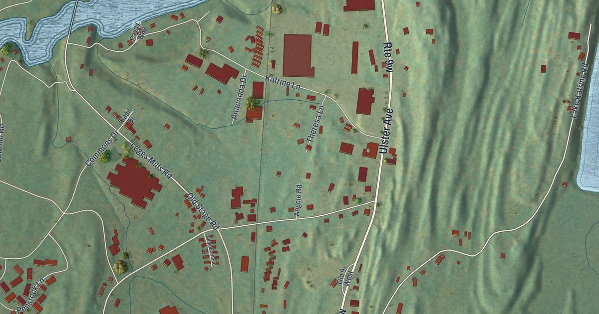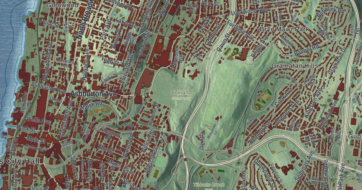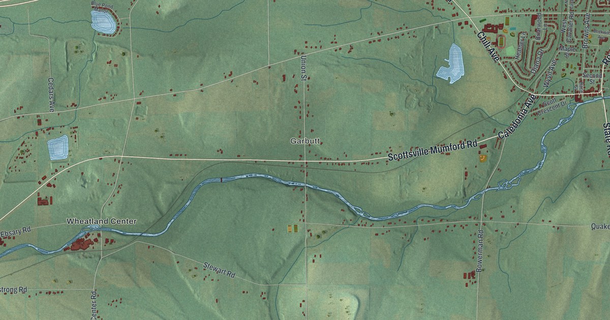
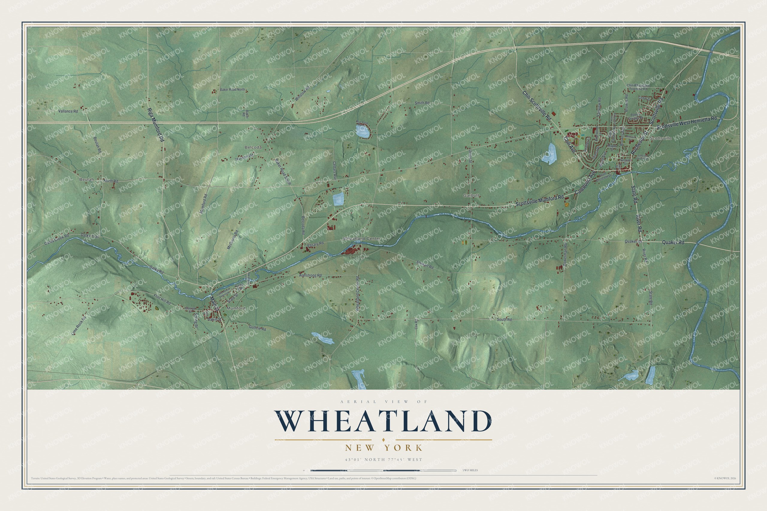
This beautifully detailed map of Wheatland, New York was created in 2026 using aerial imagery combined with modern topographical, census, street and landmark data. It’s a one-of-a-kind view of Wheatland that combines accurate data with a vintage aesthetic. The map shows every building in its true location, many of the roads carry their names, and the shaded topographic relief shows the shape of the land.
Explore an aerial view of Wheatland, New York
On the map you’ll find Beulah, Scottsville, Mumford, Belcoda, and Garbutt, along with Main Street, Quaker Road, River Road, Rochester Street, Caledonia Avenue, and more. If you look closely you can even find your house accurately drawn in its correct location. Zoom in on the preview to look for yours.
Did You Know?
The town was formed from Caledonia on February 23, 1821, under the name Inverness. Six weeks later, the state legislature renamed it Wheatland. Raising wheat and milling flour were then the county’s main trades, and this area was a leader in them. In 1850, Monroe and Livingston counties grew more wheat than any others in the nation.
Take a closer look at the Wheatland map
Names on this map
These names are printed on this map.
Places: Beulah, Scottsville, Mumford, Belcoda, Garbutt and Wheatland Center.
Streets and roads: Main Street, Quaker Road, River Road, State Road, Rochester Street, Caledonia Avenue, Scottsville Mumford Road, Scottsville Road, Chili Avenue, Scottsville West Henrietta Road, Riga Mumford Road, Chili Scottsville Road.
More street names, A to Z
Armstrong Road, Baker Road, Baker Road North, Baker Road South, Beckwith Avenue, Belcoda Road, Beulah Road, Blue Pond Manor, Bowerman Road, Briarwood Lane, Browns Avenue, Browns Road, Cedars Avenue, Cedar Street, Chili Wheatland Townline Road, Cox Road, Dakin Street, Diana Drive, Ebsary Road, Fairview Road, Flint Hill Road, Genesee Street East, George Street, Guthrie Road, Harmon Road, Heather Lane, Lime Rock Road, Maple Street, McGinnis Road, Mumford Road, North Cavalier Road, North Road, Oatka Avenue, Oatka Avenue Extenstion, Oatka Creek Road, Oatka Road, Oatka Trail, Race Street, Robert Quigley Drive, Scott Crescent Drive, Second Street, Smith Road, Smith Street, South Road, Spring Street, State Street, Stewart Road, Twin Bridge Road, Union Street, Vallance Road, West Cavalier Road, Wheatland Center Road, Winslow Road, Wyvil Avenue.
See it on a wall
The Wheatland map as a framed print. Swipe for more.


This beautifully detailed map of Wheatland makes an attractive addition to your office, library, or den, and it can even be used to teach children the geography and history of the area. It also makes a great gift for anyone with Wheatland roots. When you’re done exploring, click here to get your copy of the Wheatland map.