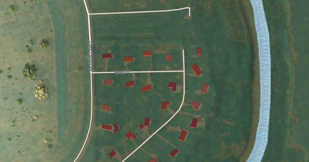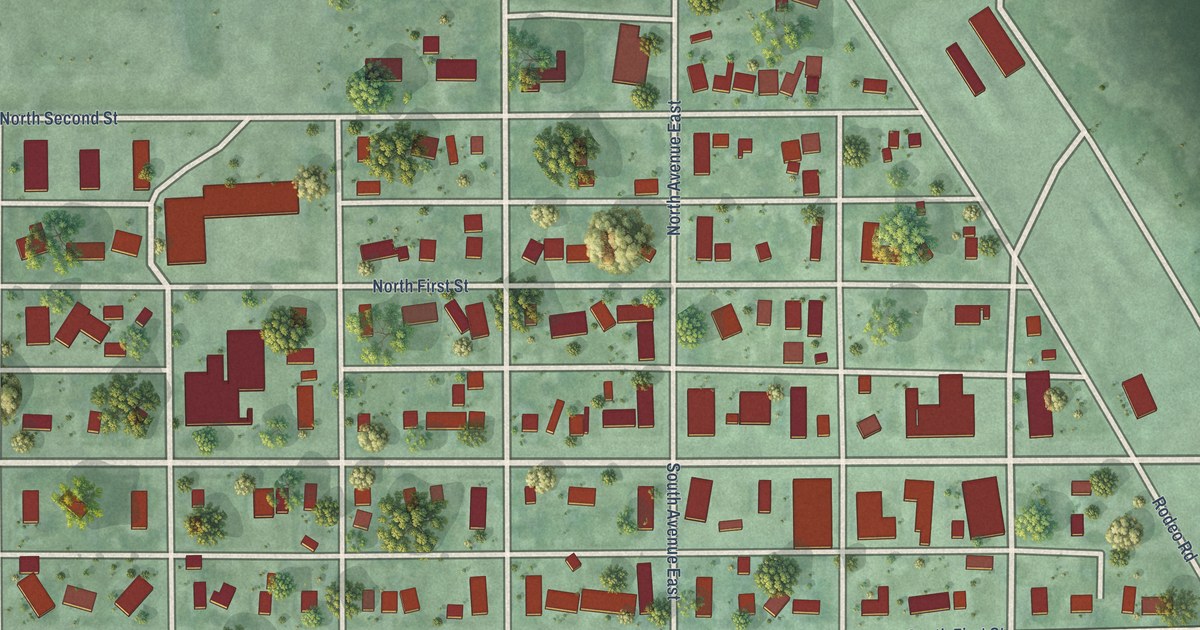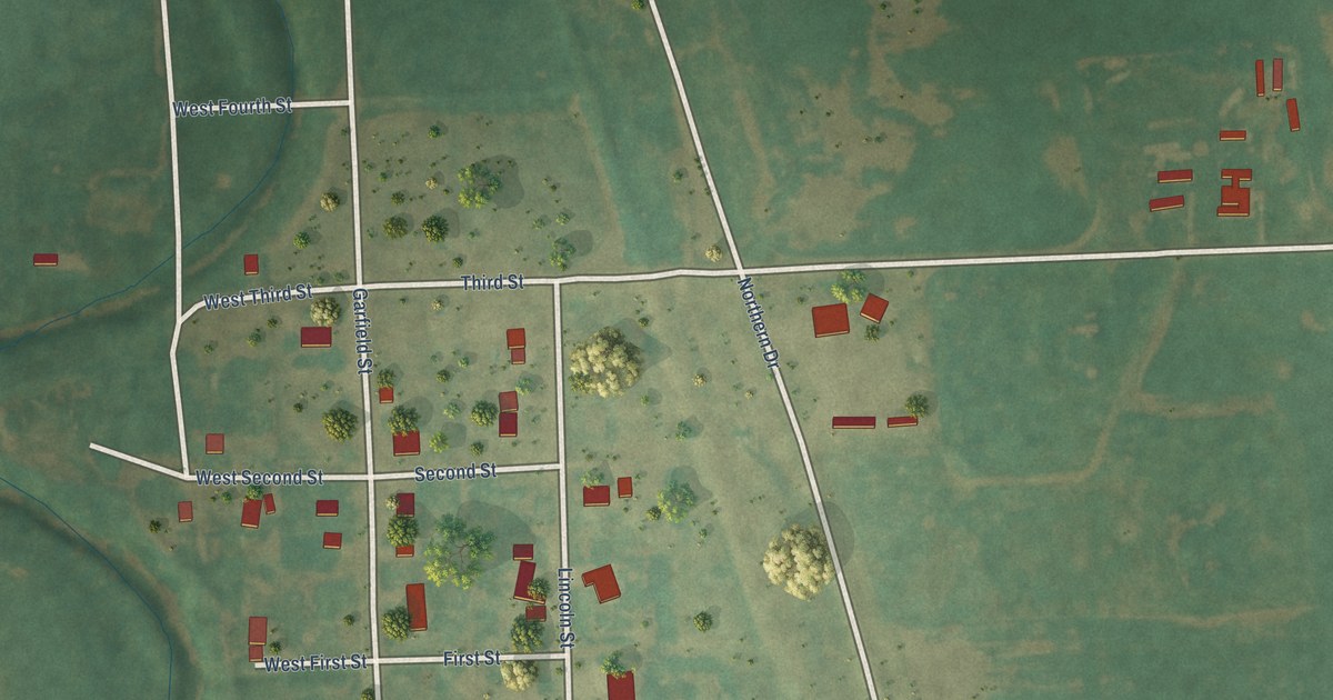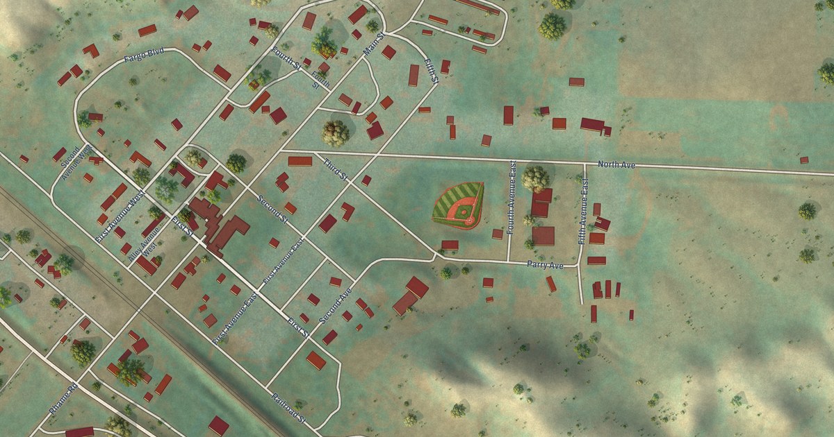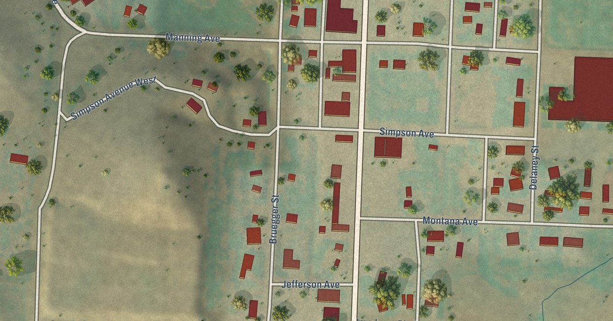
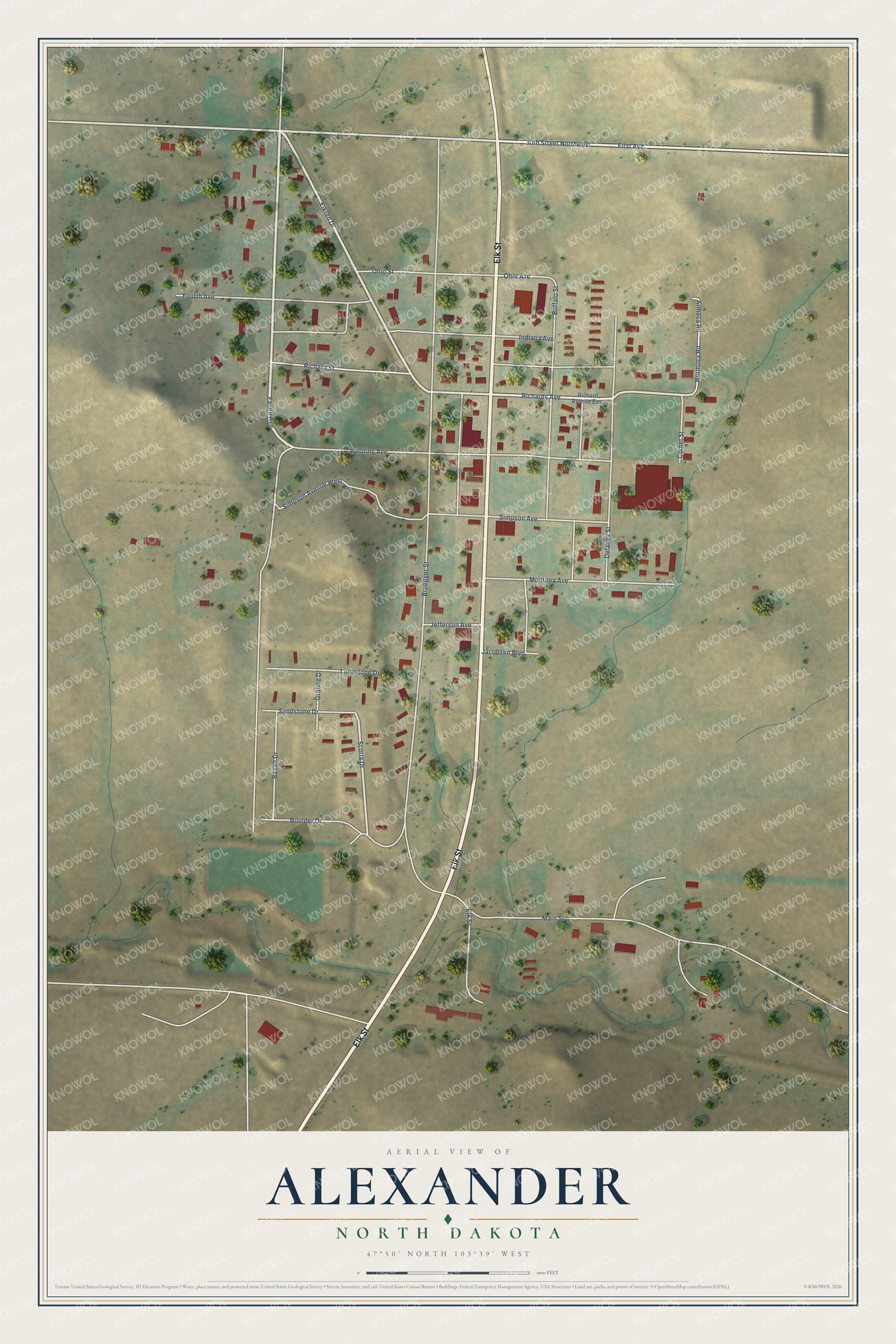
This beautifully detailed map of Alexander, North Dakota was created in 2026 using aerial imagery combined with modern topographical, census, street and landmark data. It's a modern aerial view of Alexander in McKenzie County, North Dakota, that combines modern data with a vintage aesthetic. The roads feature printed names, and if you look closely you can find your exact house accurately shown in its correct location.
Explore an aerial view of Alexander, North Dakota
On this map you'll find Elk Street, Fallon Avenue, Eikren Drive, Richards Avenue, 30th Street Northwest, First Avenue, Scoria Drive, Bruegger Street, Main Street, Manning Avenue, Indiana Avenue, Delaney Street, and more. Each red shape is a building, so zoom in on the preview and look for yours.
Alexander has a story worth telling. The McLean County Historical Society puts it this way: "Named by Gov. E. Y. Sarles for Alexander McKenzie, political leader of that day, who was one of the townsite incorporators and for whom the county had earlier been named. The post office was established Oct. 14, 1905 with Herbert W. Moore, postmaster."
Alexander is a city in McKenzie County. The Census Bureau counted 319 people here in 2020.
Take a closer look at the Alexander map
Names on this map
These names are printed on this map.
Streets and roads: Elk Street, Fallon Avenue, Eikren Drive, Richards Avenue, 30th Street Northwest, First Avenue, Scoria Drive, Bruegger Street, Main Street, Manning Avenue, Indiana Avenue, Delaney Street.
More street names, A to Z
Armosa Road, Basalt Drive, Boulder Drive, Buffalo Street, Comet Street, Fourth Avenue, Granite Drive, Hermosa Road, Jacobsen Boulevard, Jefferson Avenue, Limestone Drive, Montana Avenue, Ohio Avenue, Ohio Street, Richard Avenue East, Richard Street, Sandstone Drive, Simpson Avenue, Simpson Avenue West.
Created by KNOWOL in 2026. The buildings are small red shapes, the roads carry their printed names, and shaded relief shows the shape of the land. The title panel reads "AERIAL VIEW OF ALEXANDER NORTH DAKOTA" with 47°50' NORTH 103°39' WEST.
It looks right in a kitchen, an office or a den, and it's a gift for anyone who grew up in Alexander or moved away. Open the preview and find your street. See sizes and frames for the Alexander map.