The KNOWOL atlas North DakotaFind your place
North Dakota Map Prints
Find your town on this map of North Dakota, drawn with the detail and character of an old atlas, then look for your street.
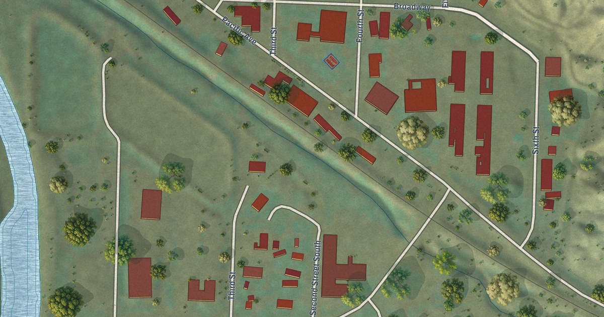
Billings CountyMedora
↗Every place has a story
Let’s find yours.
Find your town on the map,
or search it by name.
Adams County
Barnes County
Benson County
Billings County
Bottineau County
Bowman County
Burke County
Burleigh County
Cass County
Cavalier County
Dickey County
Divide County
Dunn County
Eddy County
Emmons County
Foster County
Golden Valley County
Grand Forks County
Grant County
Griggs County
Hettinger County
Kidder County
LaMoure County
Logan County
McHenry County
McIntosh County
McKenzie County
McLean County
Mercer County
Morton County
Mountrail County
Nelson County
Oliver County
Pembina County
Pierce County
Ramsey County
Ransom County
Renville County
Richland County
Rolette County
Sargent County
Sheridan County
Sioux County
Slope County
Stark County
Steele County
Stutsman County
Towner County
Traill County
Walsh County
Ward County
Wells County
Williams County
Your place might still be on its way.
Try another spelling, choose a different county, or reset your search.
Request a map of your town ↗Each place opens its map.Take a little detour ↓
Worth a closer look
A few places to begin.
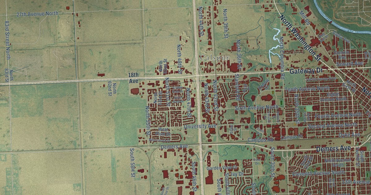
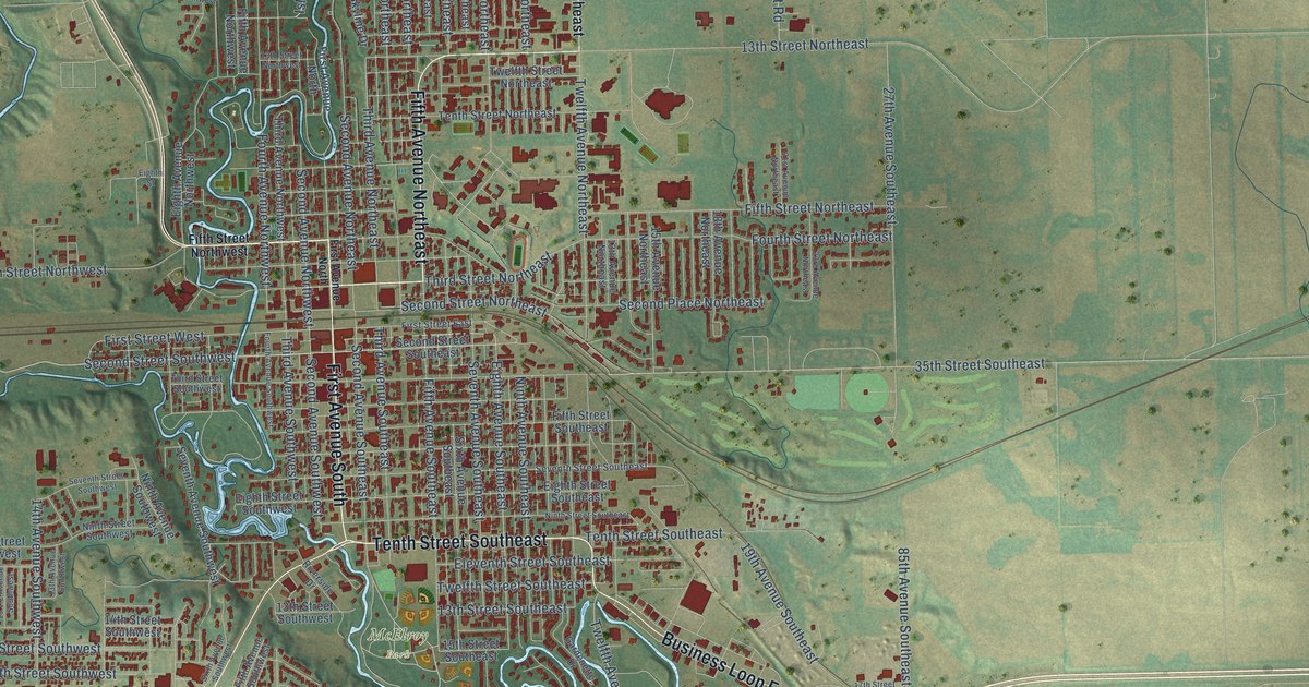
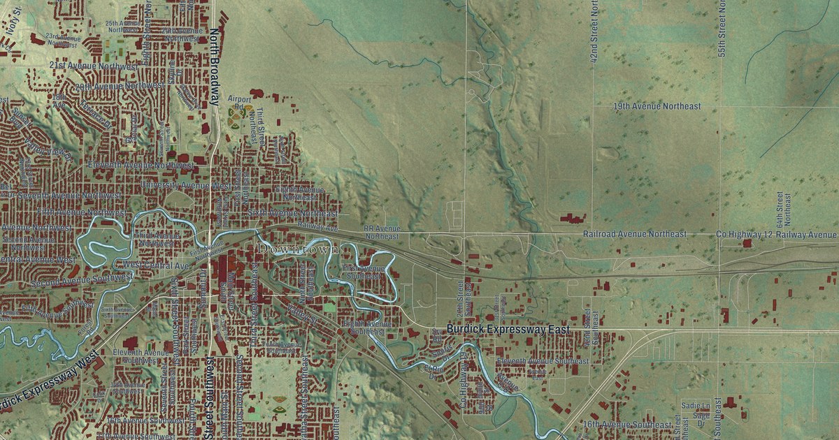
Follow a familiar street. Find a new favorite. There is a story in the detail.
Made for the place you love
A little closer.
A little more familiar.
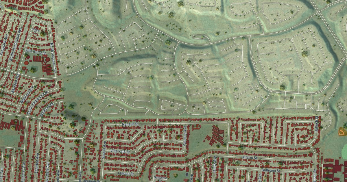
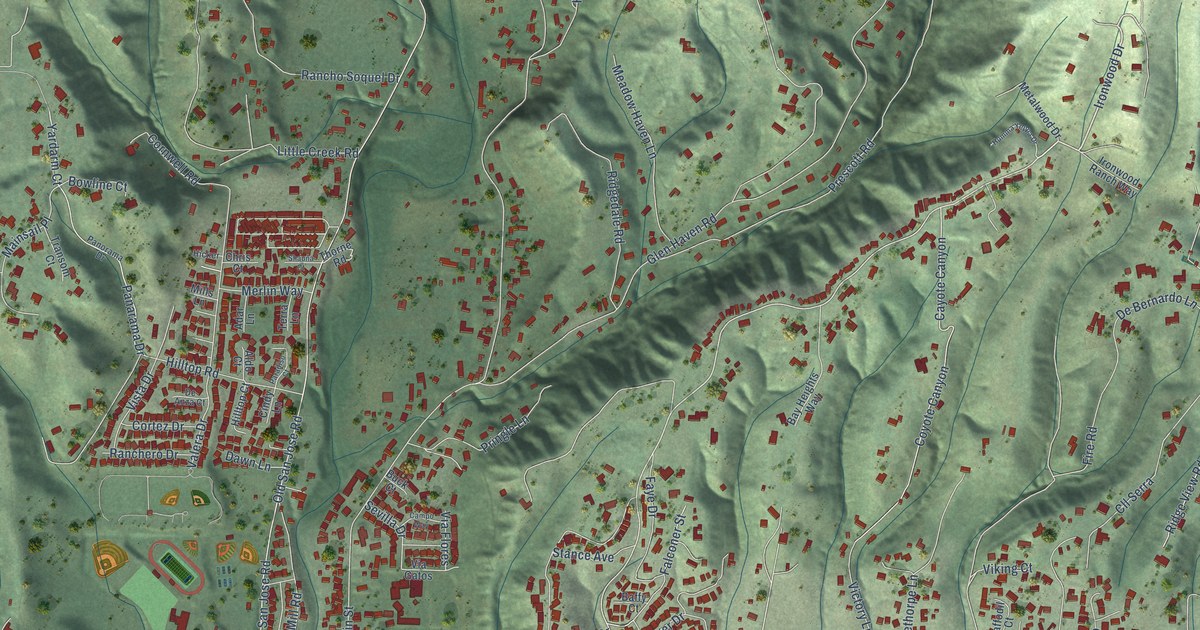
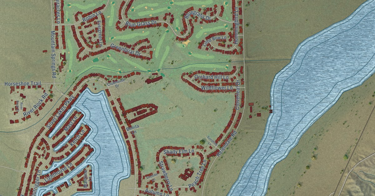
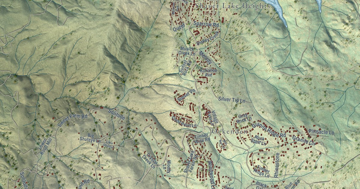
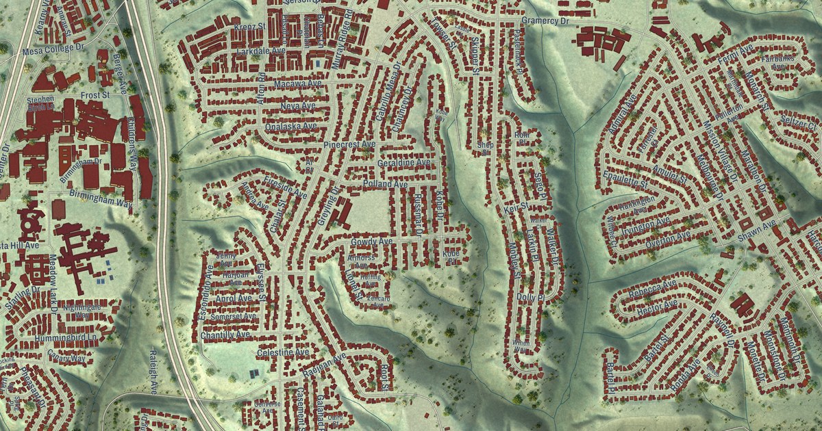
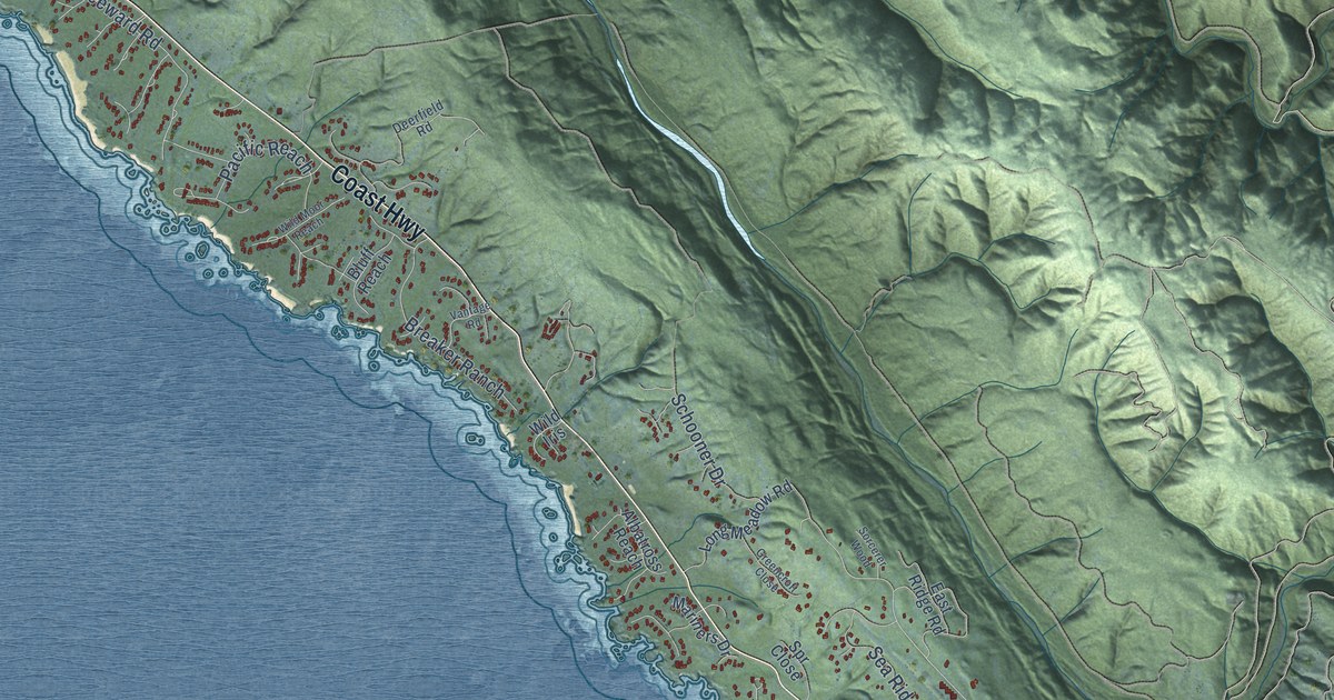
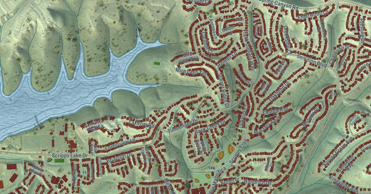
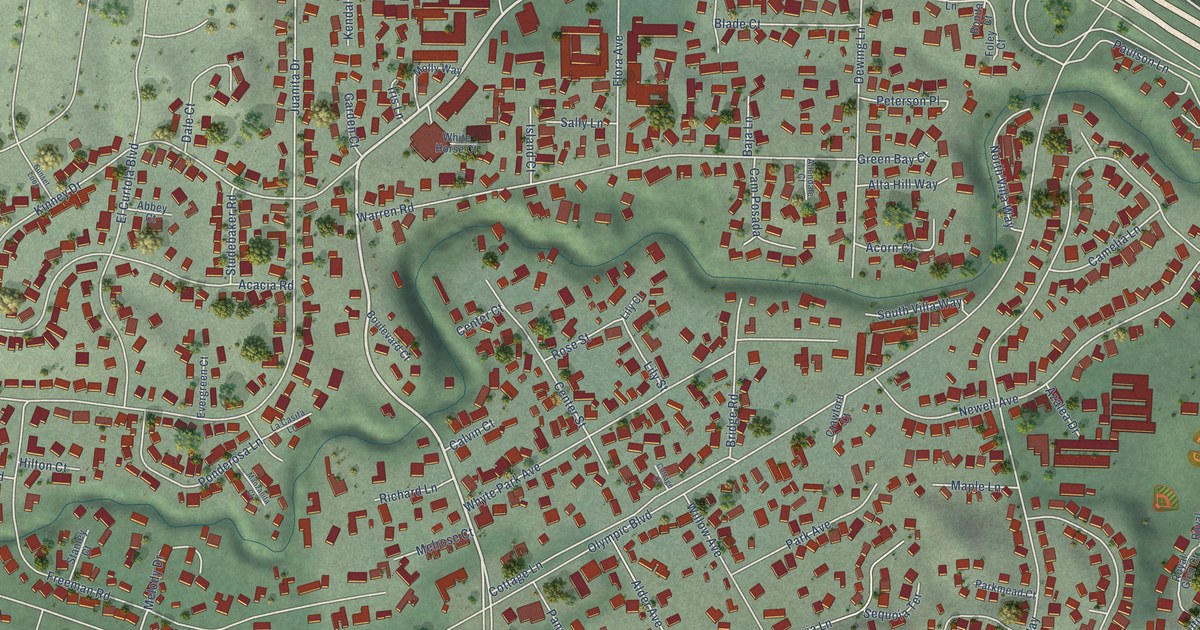
A bend in the river. The street you grew up on. The shape of the town you still call home. A map brings those small, familiar things together in one place.
- 01Start with the real place.
Streets, buildings, terrain, and water form the map.
- 02Bring the details together.
Local research and an old atlas style give each place its character.
- 03Make room for home.
Explore the map, then choose a print to keep or give.
North Dakota, one place at a time.Find your town ↑