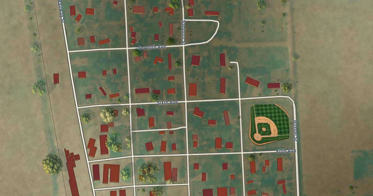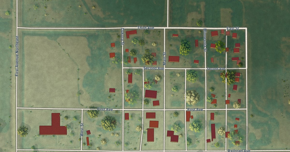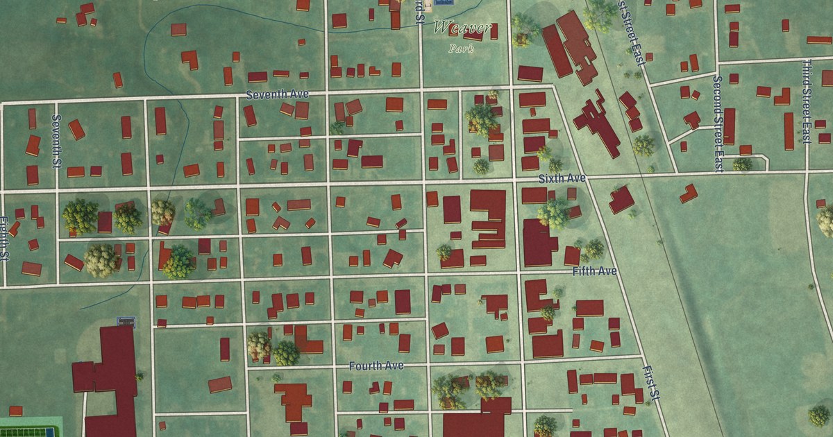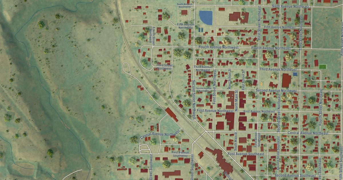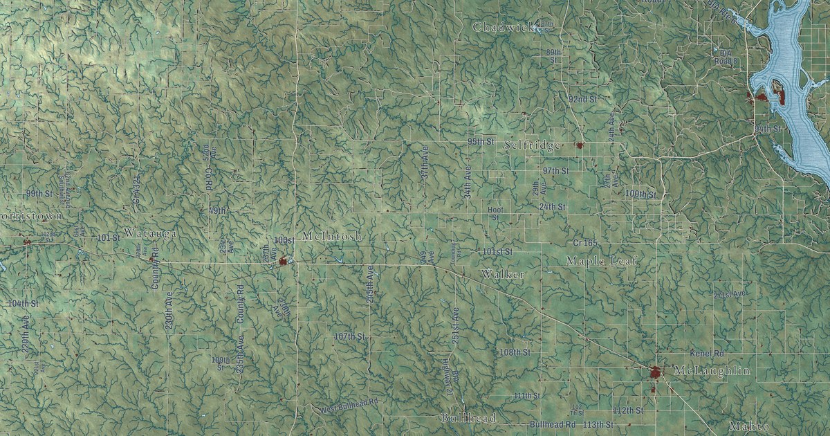
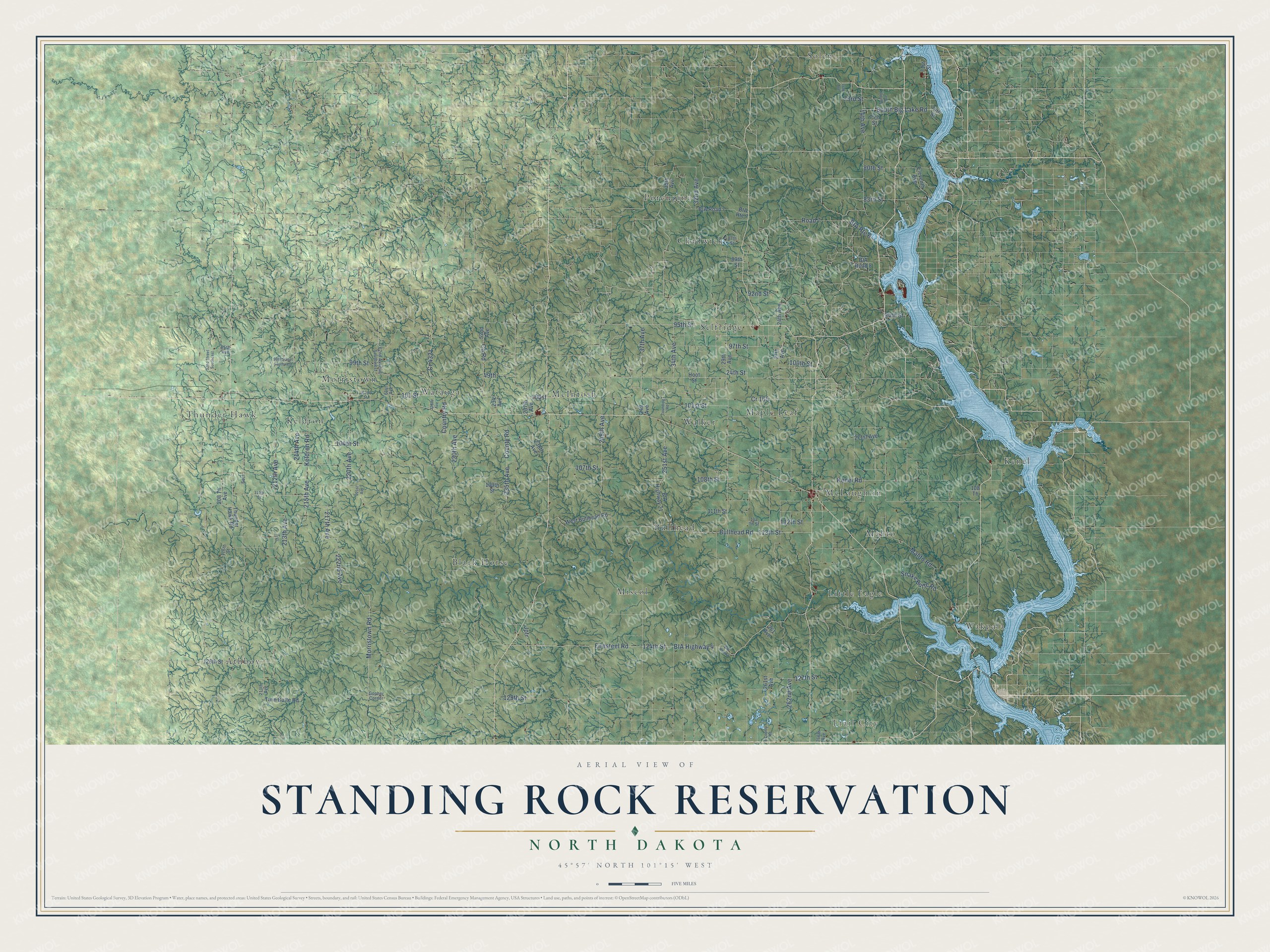
This beautifully detailed map of Standing Rock Reservation, North Dakota was created in 2026 using aerial imagery combined with modern topographical, census, street and landmark data. It's a modern aerial view of Standing Rock Reservation in Corson, Dewey and Ziebach counties in South Dakota and Sioux County, North Dakota, that combines modern data with a vintage aesthetic. The roads feature printed names, and if you look closely you can find your exact house accurately shown in its correct location.
Explore an aerial view of Standing Rock Reservation, North Dakota
On this map you'll find Trail City, Kenel, Athboy, Thunder Hawk, McIntosh, Porcupine, Wakpala, Black Horse, Maple Leaf, Morristown, Selfridge, Little Eagle, and more. Each red shape is a building, so zoom in on the preview and look for yours.
Here is a piece of Standing Rock Reservation history, in the words of the record. The Standing Rock Sioux Tribe puts it this way: "The Standing Rock Sioux Reservation was originally established as part of the Great Sioux Reservation."
Standing Rock Reservation reaches into Corson, Dewey and Ziebach counties in South Dakota and Sioux County. The Census Bureau counted 7,819 people here in 2020.
Take a closer look at the Standing Rock Reservation map
Names on this map
These names are printed on this map.
Places: Trail City, Kenel, Athboy, Thunder Hawk, McIntosh, Porcupine, Wakpala, Black Horse, Maple Leaf, Morristown, Selfridge, Little Eagle, Walker, Solen, McLaughlin, Bullhead, Miscol, Watauga, Keldron, Chadwick and Mahto.
Streets and roads: 95th Street, 100th Street, 34th Avenue, 24th Street, 97th Street, County Road, 101st Street, Morristown Road, 222nd Avenue, South Big Lake Road, 100st, 107th Street.
More street names, A to Z
9 County Road, 14th Avenue, 16th Avenue, 24th Avenue, 27th Avenue, 29th Avenue, 32nd Avenue, 32nd Street Southeast, 35th Avenue, 37th Avenue, 49th, 52nd Avenue, 61st Avenue, 62nd Avenue Southwest, 71st Street, 73rd Street, 74th Street, 75th Street, 80th Street, 83rd Street, 87th Street, 89th Street, 92nd Street, 94th Street, 95th Avenue, 99th Street, 99th Street Southwest, 101 Street, 102nd Street, 104th Street, 108 Th, 108th Street, 109th Street, 110th Street, 111th Street, 112 Th Street, 112th Street, 113th Street, 114 Street, 116th Street, 124th Street, 126th Street, 127th Street, 129th Street, 208 Th Avenue, 211th Avenue, 212th Avenue, 213th Avenue, 214th Avenue, 215th Avenue, 217th Avenue, 220th Avenue, 221st Avenue, 228th Avenue, 230th Avenue, 234 Avenue, 235th Avenue, 237th Avenue, 238th Avenue, 245th Avenue, 249 Avenue, 251st Avenue, 261 Avenue, 261st Avenue, 262nd Avenue, 266th Avenue, 271st Avenue, BIA Highway 4, BIA Highway 21, BIA Road 4, BIA Road 7, BIA Road 8, BIA Route 6, BIA Route 7, Bullhead Road, Country Road, Cr 165, Cr 4321, Eleventh Avenue, Firesteel Road, Gopher Corner, Hoot Street, Jptr, Keldron Road, Kenel Road, Mahto Road, Road 7, Sect, Snake Butte Road, Thunder Hawk Road, Tounding Road, Twelfth Avenue, Twin Butte Road, West Bullhead Road.
See it on a wall
The Standing Rock Reservation map as a framed print. Swipe for more.


Created by KNOWOL in 2026. The buildings are small red shapes, the roads carry their printed names, and shaded relief shows the shape of the land. The title panel reads "AERIAL VIEW OF STANDING ROCK RESERVATION, NORTH DAKOTA" with 45°57' NORTH 101°15' WEST.
It suits a den, a classroom or a front hall, and it makes a gift for anyone with Standing Rock Reservation roots. Open the preview and find the block you know. See sizes and frames for the Standing Rock Reservation map.