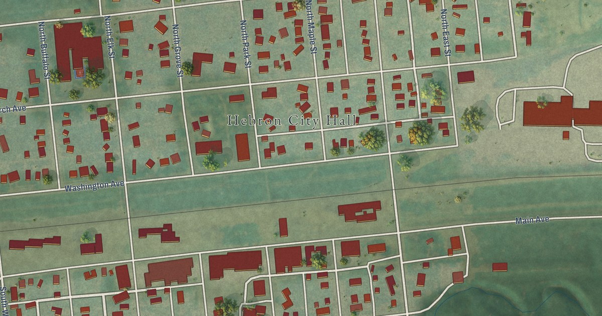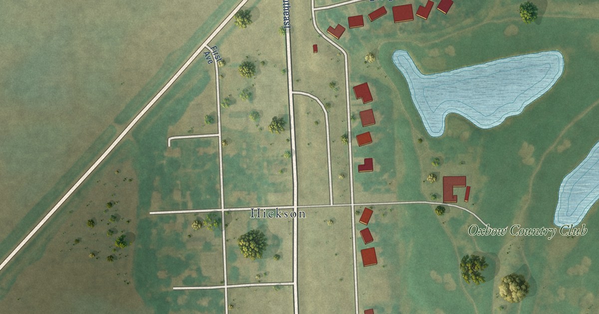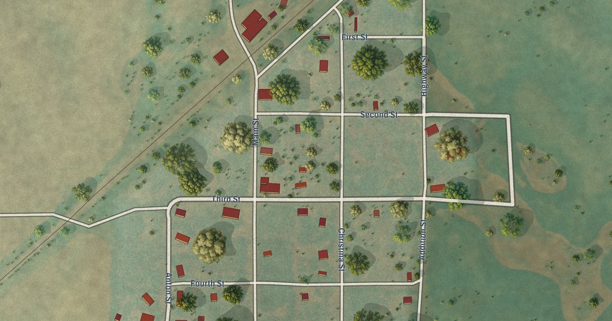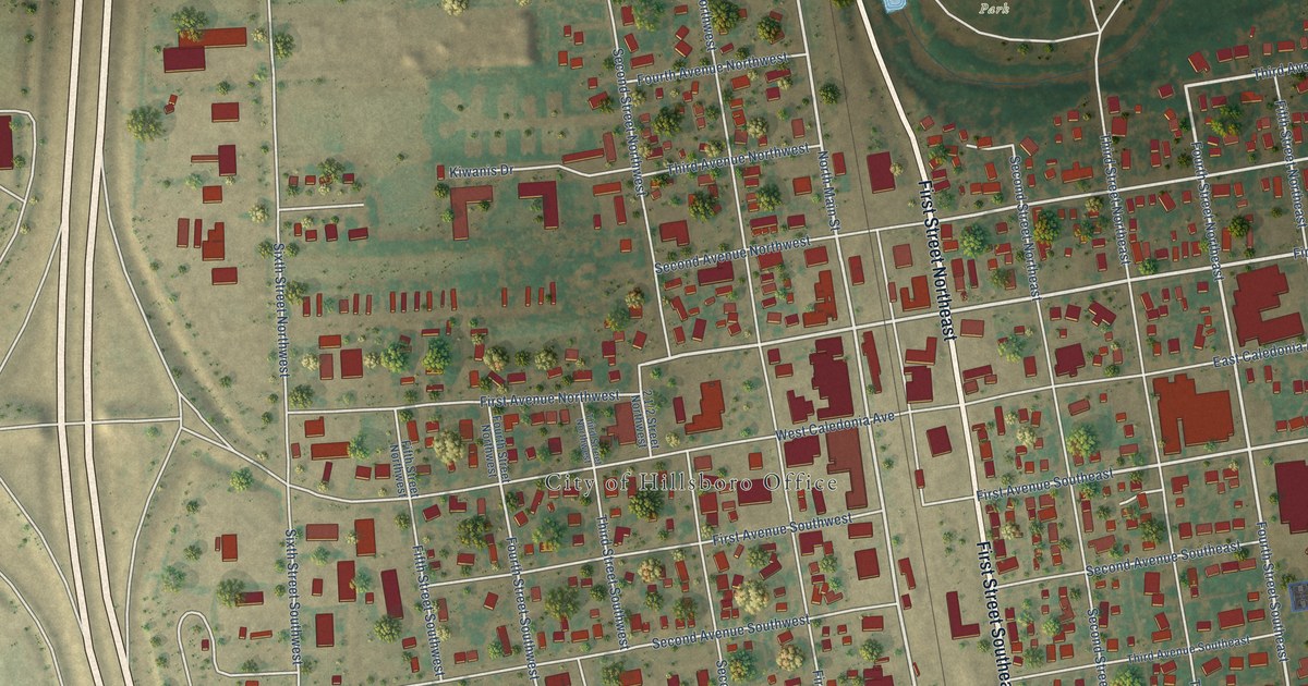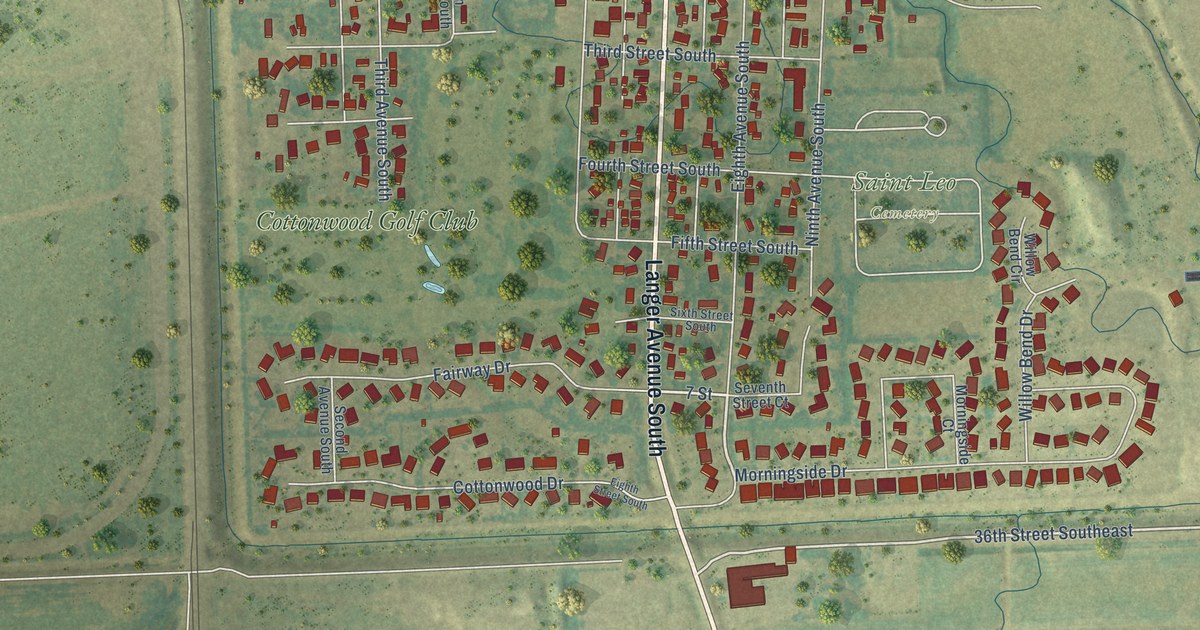
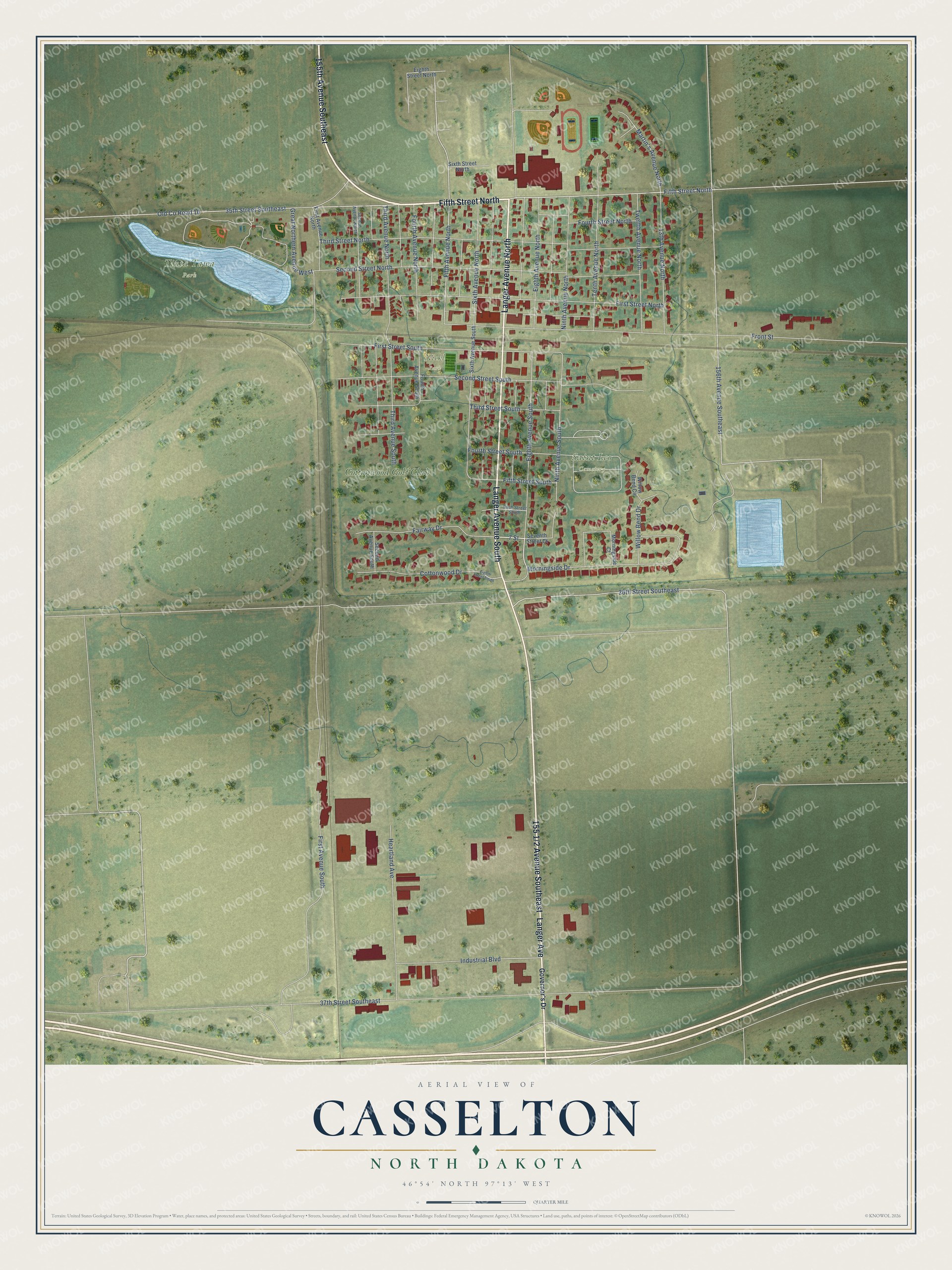
This beautifully detailed map of Casselton, North Dakota was created in 2026 using aerial imagery combined with modern topographical, census, street and landmark data. It's a modern aerial view of Casselton in Cass County, North Dakota, that combines modern data with a vintage aesthetic. The roads feature printed names, and if you look closely you can find your exact house accurately shown in its correct location.
Explore an aerial view of Casselton, North Dakota
On this map you'll find Saint Leo Cemetery, Tinta Tawa Park, Nickl Park, Cottonwood Golf Club, 155th Avenue Southeast, Fifth Street North, 155 1/2 Avenue Southeast, Langer Avenue, Langer Avenue South, Langer Avenue North, 7 Street, Fifth Avenue North, and more. Each red shape is a building, so zoom in on the preview and look for yours.
Casselton has a story worth telling. The McLean County Historical Society puts it this way: "CASSELTON: In 1870 the first settlers of this townsite area called it GOOSE CREEK or SWAN CREEK for the stream nearby, which the early French explorers named Aux Ontardes, for the many flocks of wild geese that fed and nested there."
Casselton is a city in Cass County. The Census Bureau counted 2,479 people here in 2020.
Take a closer look at the Casselton map
Names on this map
These names are printed on this map.
Places: Saint Leo Cemetery, Tinta Tawa Park, Nickl Park and Cottonwood Golf Club.
Streets and roads: 155th Avenue Southeast, Fifth Street North, Langer Avenue, Langer Avenue South, Langer Avenue North, 7 Street, Fifth Avenue North, 36th Street Southeast, Martin's Avenue North, Front Street, 156th Avenue Southeast, Third Street North.
More street names, A to Z
13th Avenue North, 35th Street Southeast, 37th Street Southeast, Cottonwood Drive, Eighth Avenue North, Eighth Avenue South, Eighth Street North, Eighth Street South, Fairway Drive, Fifth Street South, First Avenue North, First Avenue South, First Street North, First Street South, Fourth Avenue North, Fourth Avenue South, Fourth Street North, Fourth Street South, Governor's Drive, Great Northern Avenue West, Heartland Avenue, Industrial Boulevard, Morningside Court, Morningside Drive, Ninth Avenue North, Ninth Avenue South, Old County Road 10, Second Avenue North, Second Avenue South, Second Street North, Second Street South, Seventh Street Court, Sixth Avenue North, Sixth Avenue South, Sixth Street North, Sixth Street South, Tenth Avenue North, Third Avenue North, Third Avenue South, Third Street South, Twelfth Avenue North, Willow Bend Circle, Willow Bend Drive.
Created by KNOWOL in 2026. The buildings are small red shapes, the roads carry their printed names, and shaded relief shows the shape of the land. The title panel reads "AERIAL VIEW OF CASSELTON NORTH DAKOTA" with 46°54' NORTH 97°13' WEST.
It looks right in a kitchen, an office or a den, and it's a gift for anyone who grew up in Casselton or moved away. Open the preview and find your street. See sizes and frames for the Casselton map.