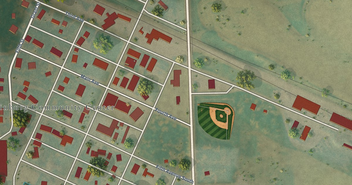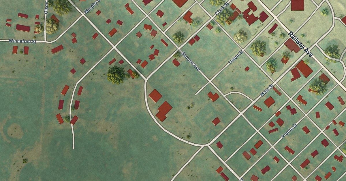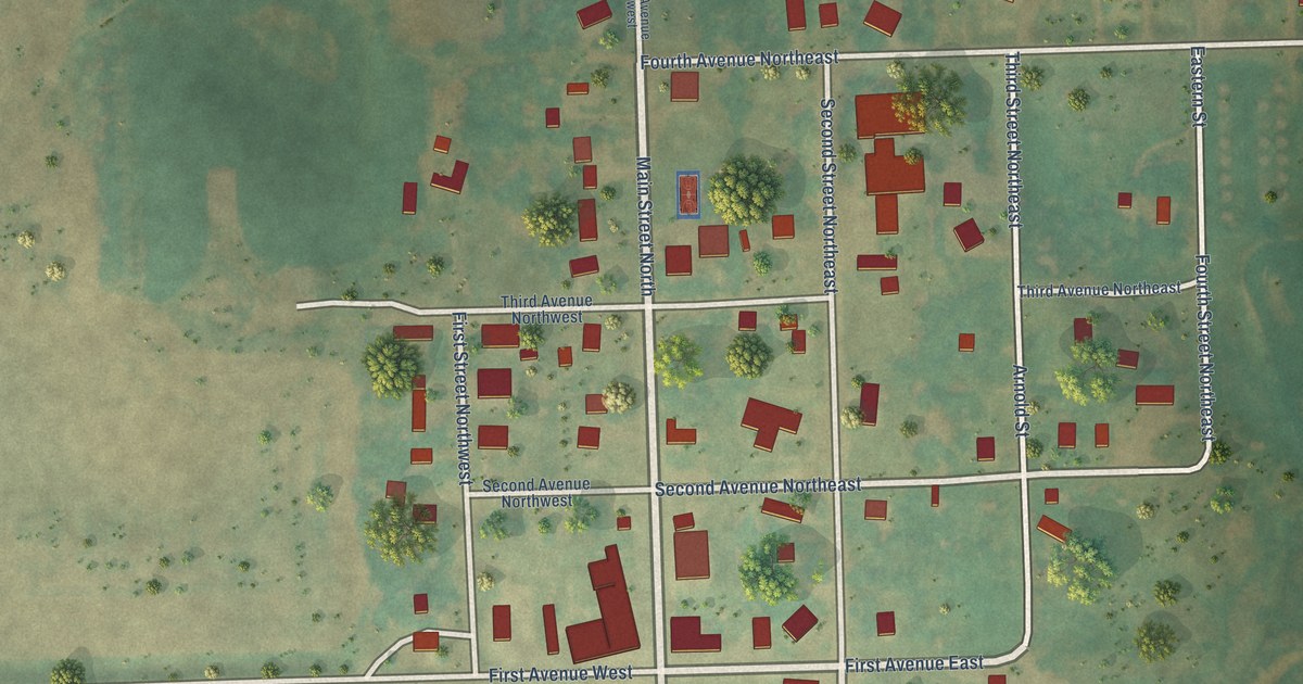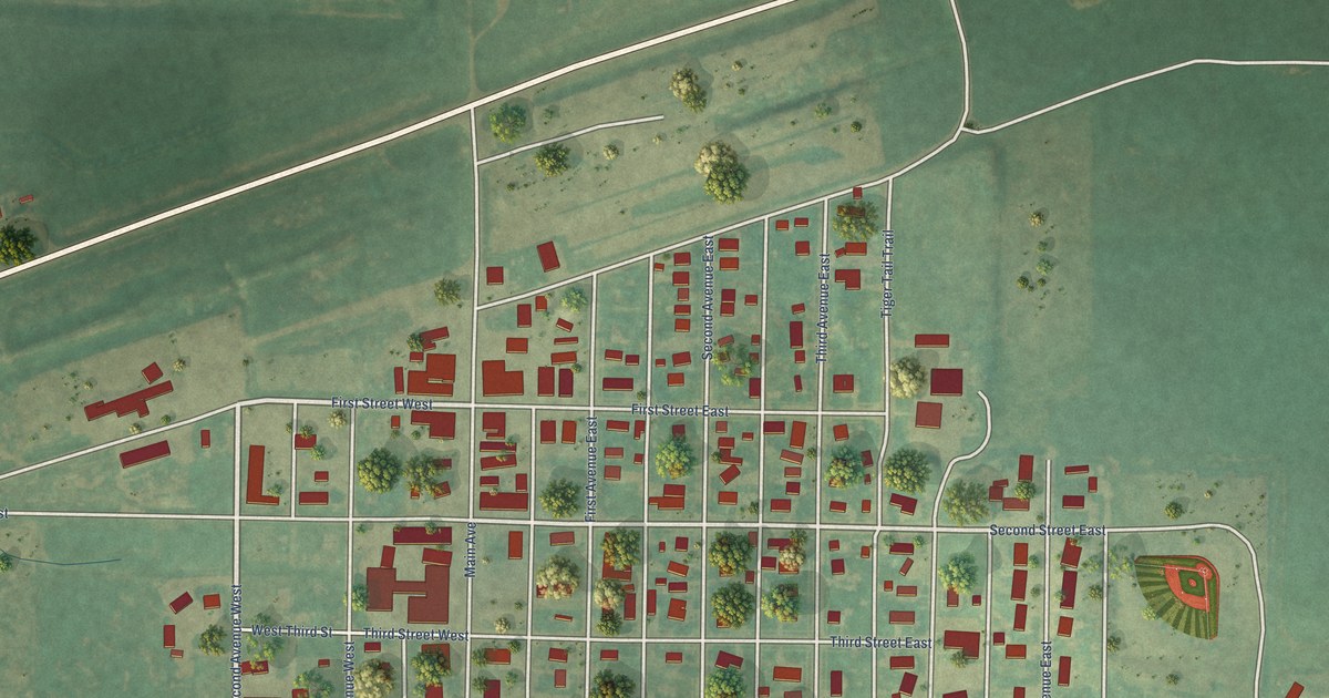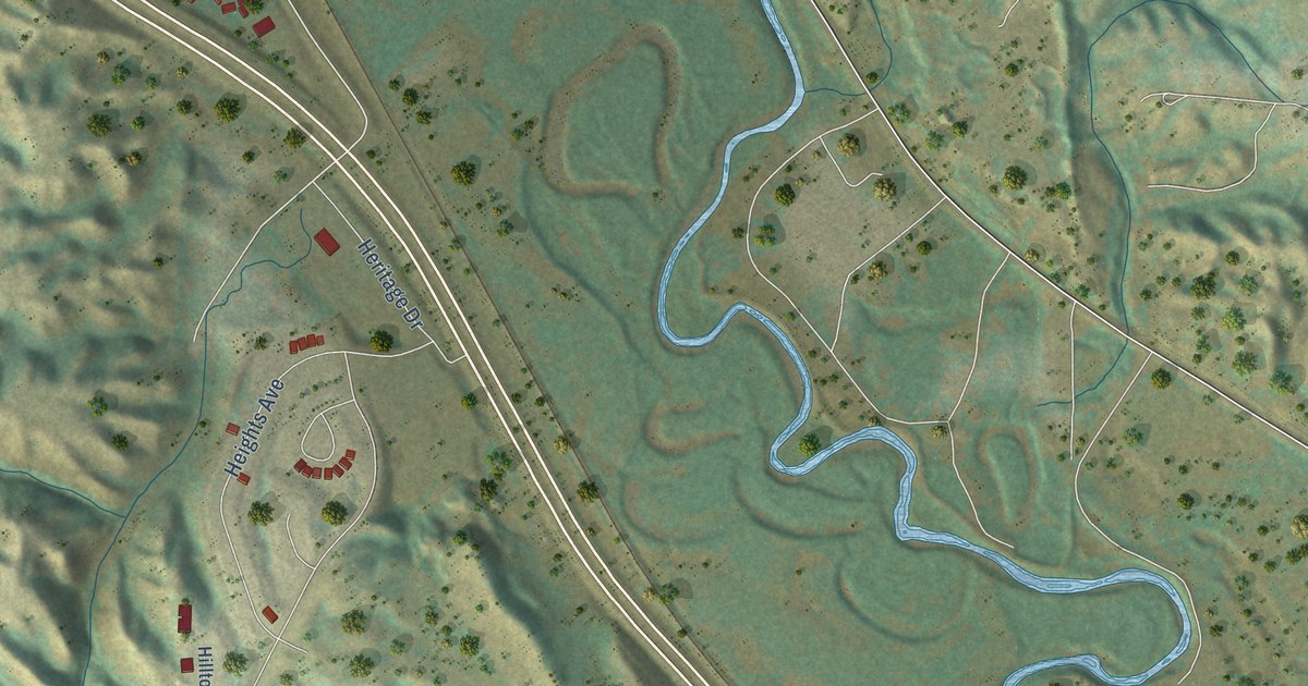
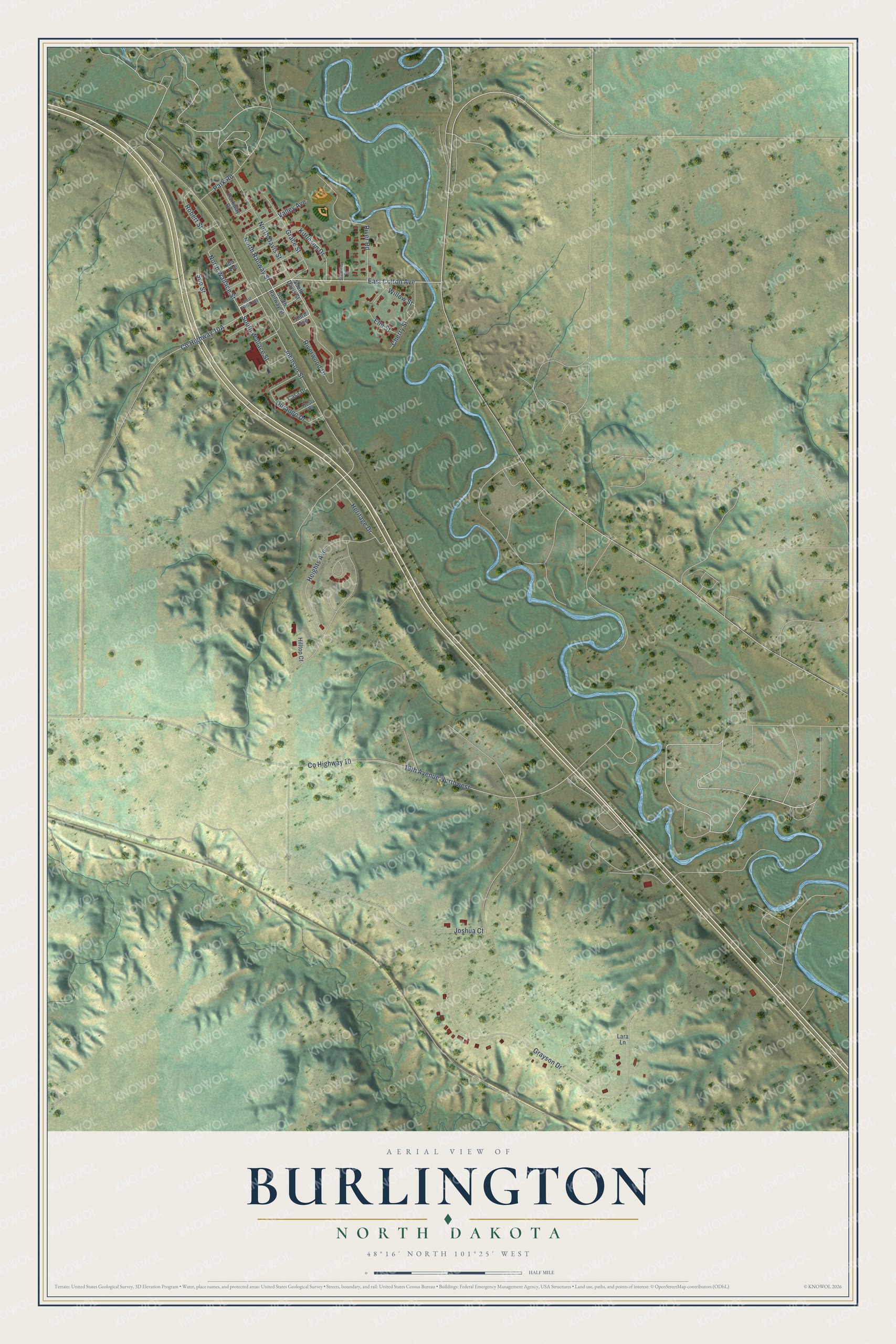
This beautifully detailed map of Burlington, North Dakota was created in 2026 using aerial imagery combined with modern topographical, census, street and landmark data. It's a modern aerial view of Burlington in Ward County, North Dakota, that combines modern data with a vintage aesthetic. The roads feature printed names, and if you look closely you can find your exact house accurately shown in its correct location.
Explore an aerial view of Burlington, North Dakota
On this map you'll find Co Highway 10, South Wallace Street, North Railway Street, North Wallace Street, Johnson Street, East Colton Avenue, Kittleson Drive, Grayson Drive, 19th Avenue Northwest, Heights Avenue, Riverwood Drive, River Road, and more. Each red shape is a building, so zoom in on the preview and look for yours.
Here is a piece of Burlington history, in the words of the record. The McLean County Historical Society puts it this way: "Joseph Coltan established the first newspaper in this section of the state and due to his efforts, Burlington was designated the county seat when the county was organized in 1885. In 1888, the county seat was relocated at Minot."
Burlington is a city in Ward County. The Census Bureau counted 1,291 people here in 2020.
Take a closer look at the Burlington map
Names on this map
These names are printed on this map.
Streets and roads: County Highway 10, South Wallace Street, North Railway Street, North Wallace Street, Johnson Street, East Colton Avenue, Kittleson Drive, Grayson Drive, 19th Avenue Northwest, Heights Avenue, Riverwood Drive, River Road.
More street names, A to Z
Casa Drive, Cherry Street, Durango Drive, Elm Street, Fiesta Drive, Grace Street, Heritage Drive, Hilltop Court, Ida Avenue, Joshua Court, Lara Lane, North Davis Street, Park Road, Parkway Drive, Robert Street, Soo Street, South Davis Street, South Railway Street, Stemen Drive, Third Avenue, Valley Avenue, West Colton Avenue, Willow Street.
Created by KNOWOL in 2026. The buildings are small red shapes, the roads carry their printed names, and shaded relief shows the shape of the land. The title panel reads "AERIAL VIEW OF BURLINGTON NORTH DAKOTA" with 48°16' NORTH 101°25' WEST.
It suits a den, a classroom or a front hall, and it makes a gift for anyone with Burlington roots. Open the preview and find the block you know. See sizes and frames for the Burlington map.