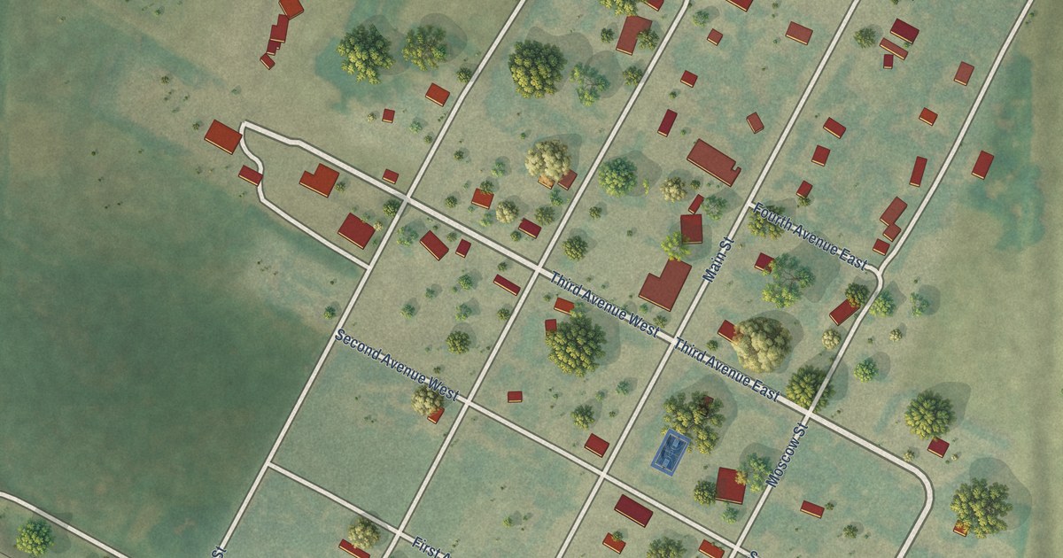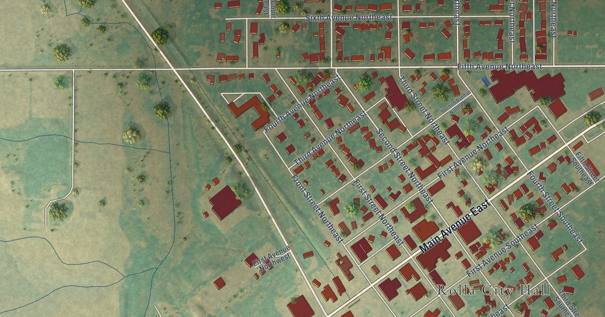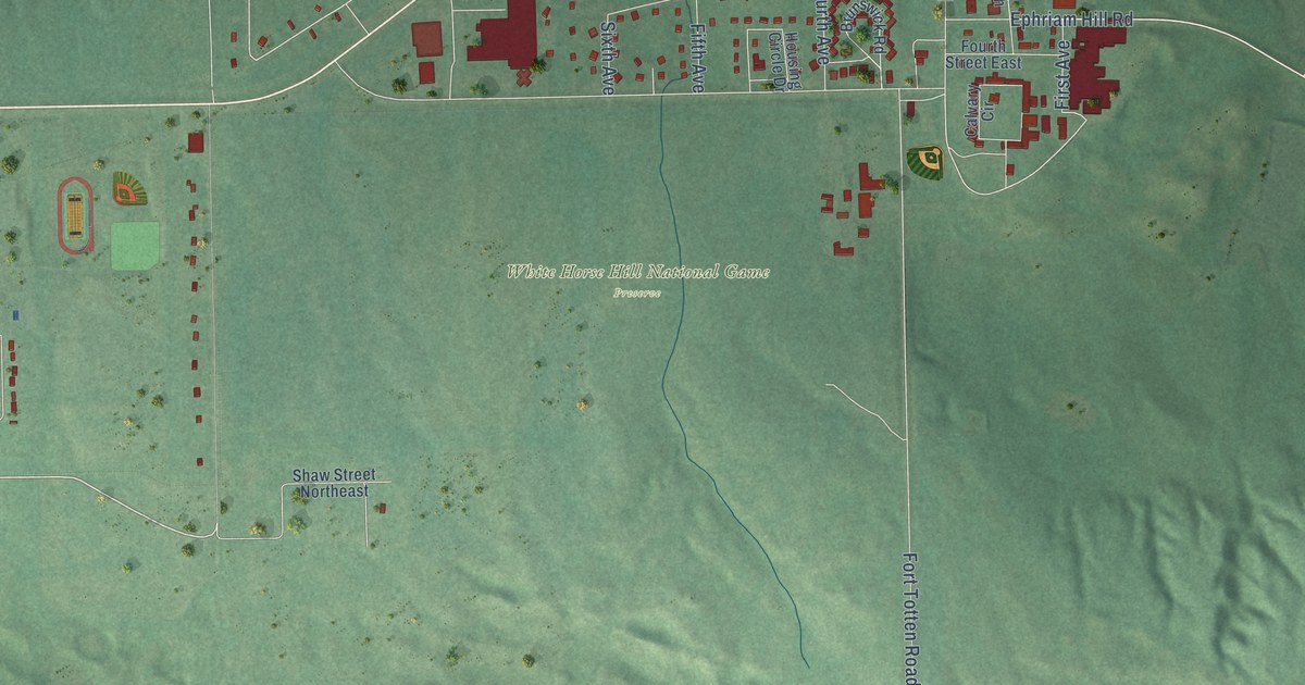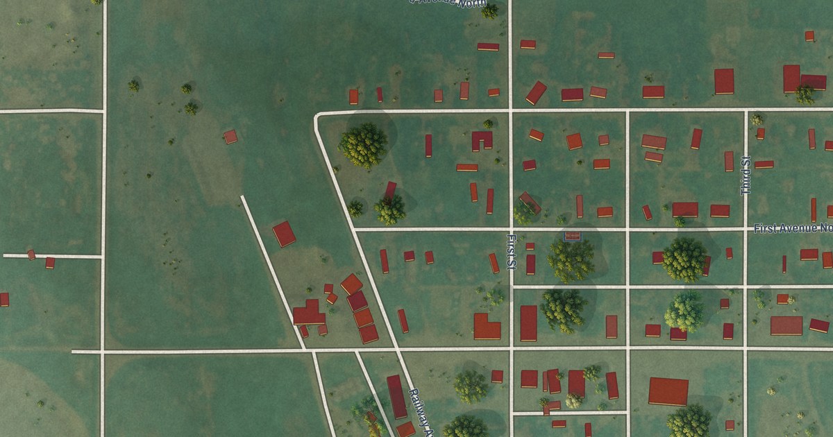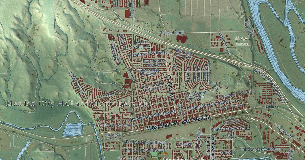
This beautifully detailed map of Mandan, North Dakota was created in 2026 using aerial imagery combined with modern topographical, census, street and landmark data. It’s a one-of-a-kind view of Mandan that combines accurate data with a vintage aesthetic. The map shows every building in its true location, many of the roads carry their names, and the shaded topographic relief shows the shape of the land.
Explore an aerial view of Mandan, North Dakota
On the map you’ll find Meadow Park, Union Cemetery, and Twp Road 10, along with Mandan City Hall and Municipal Court, East Main Street, Memorial Highway, Fort McKeen Road, West Main Street, Collins Avenue, Highway 6, Old Red Trail, Third Street Southeast, and more. If you look closely you can even find your house accurately drawn in its correct location. Zoom in on the preview to look for yours.
Did you know this piece of Mandan, North Dakota history?
From the McLean County Historical Society: "On March 3, 1879, the post office with Arthur Linn, postmaster, moved to the railroad station site named Mandan. Eight days later it was renamed CUSHMAN for the newly appointed postmaster, Charles Cushman."
Take a closer look at the Mandan map
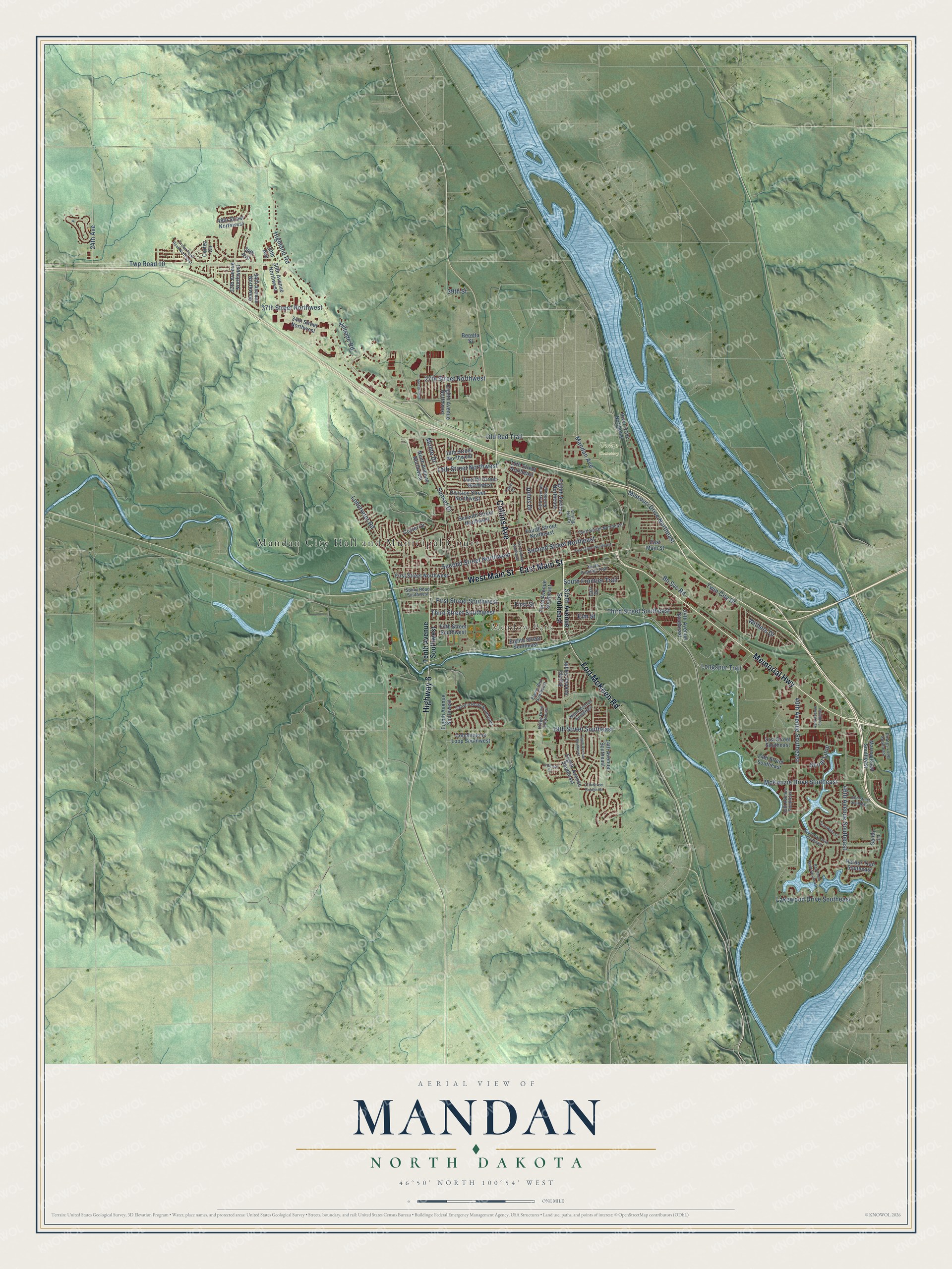
Street and place names on the Mandan, North Dakota map
These names are printed on the map of Mandan, North Dakota.
Places: Mandan City Hall and Municipal Court, Meadow Park and Union Cemetery.
Streets and roads: East Main Street, Memorial Highway, Fort McKeen Road, West Main Street, Collins Avenue, Highway 6, Old Red Trail, Twp Road 10, Third Street Southeast, Third Street Southwest, 19th Street Southeast, 46th Avenue Southeast.
More street names, A to Z
14th Avenue Southeast, 14th Street Northwest, 15th Street Northeast, 16th Street Northwest, 21st Street Southeast, 24th Avenue, 24th Avenue Southeast, 24th Street Southeast, 27th Street Northwest, 27th Street Southeast, 29th Street Southeast, 30th Avenue, 30th Avenue Northwest, 34th Avenue, 34th Avenue Northwest, 34th Street Northwest, 37th Avenue Northwest, 37th Street Northwest, 39th Avenue Southeast, 39th Street, 40th Avenue Southeast, 43rd Avenue Southeast, 48th Street Northwest, Bay Shore Bend Southeast, Beretta Street, Bn Svc Road, Canyon Road Southwest, Cobblestone Loop Southwest, Cortez Circle, Crown Point Road Northwest, Crying Hill Drive, Custer Drive, Division Street Northwest, Eighth Avenue Northeast, Eighth Avenue Northwest, Eighth Avenue South, Eighth Avenue Southeast, Eighth Avenue Southwest, Eighth Street Southeast, Elm Street, Fifth Avenue Northeast, Fifth Street Southwest, First Avenue Northeast, First Street, First Street Northeast, First Street Northwest, First Street Southwest, Fourth Street Northeast, Harbor Trail Southeast, Heartwood Drive, Highland Road, Hillside Road, Johns Drive, Lakewood Drive Southeast, Lincoln Court, Lohstreter Road, Longspur Trail, Lori Drive, Mandan Avenue, Marina Road Southeast, McKenzie Drive Southeast, Missouri Drive Northeast, Monte Drive, Ninth Avenue Northwest, Ninth Avenue Southeast, North Frontier Trail, Pirates Loop Southeast, Plains Bnd Southeast, Ridge Drive Southeast, River Drive Northeast, Sandy Lane, Second Street Northeast, Second Street Northwest, Seventh Street Northwest, Shoal Loop, Sixth Avenue Southeast, South Bay Drive Southeast, South Frontier Trail, Sunny Road Southwest, Sunset Drive, Tenth Avenue Southeast, Tenth Avenue Southwest, Third Avenue Southeast, Third Street Northeast, Tower Place, Twelfth Street Northwest, Twin City Drive, Withers Drive.
See the Mandan, North Dakota map on a wall
The Mandan map as an 18 x 24 inch print in a black frame.

This beautifully detailed map of Mandan makes an attractive addition to your office, library, or den, and it can even be used to teach children the geography and history of the area. It also makes a great gift for anyone who grew up in Mandan or moved away. When you’re done exploring, click here to get your copy of the Mandan map.