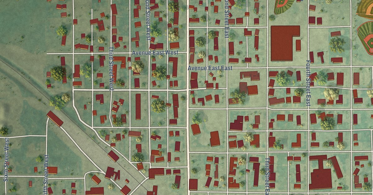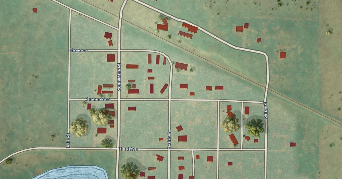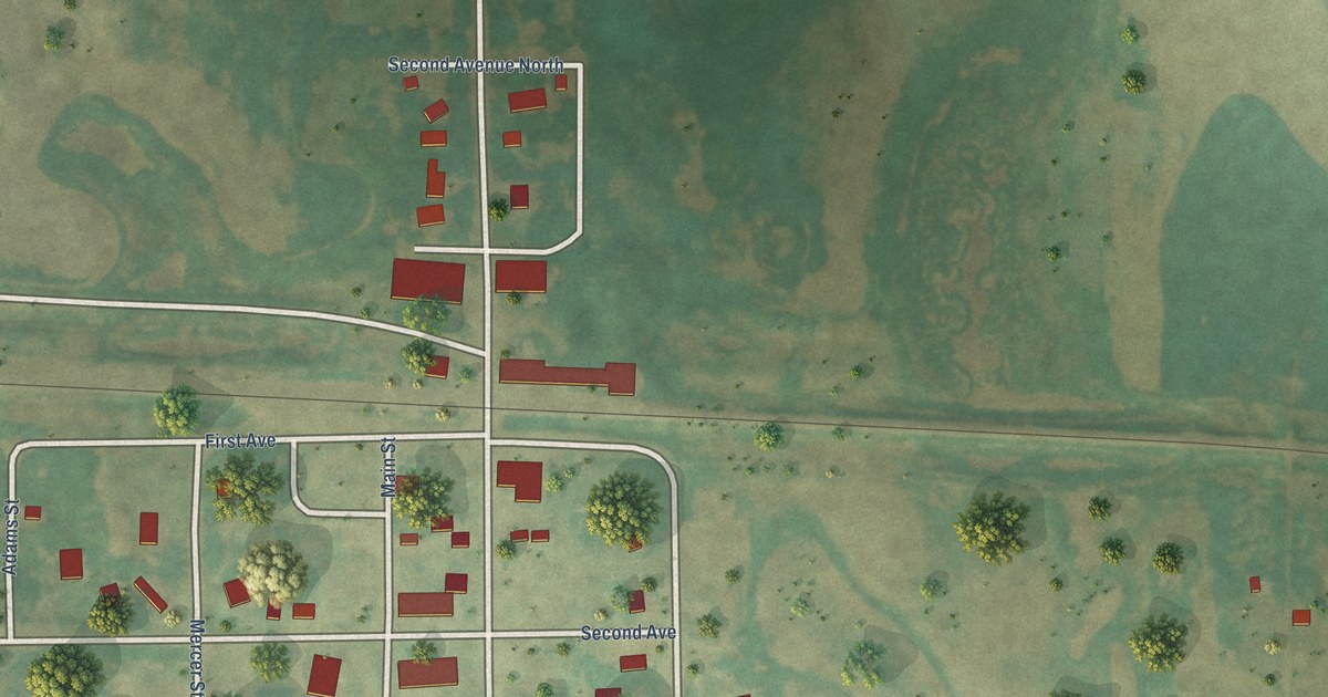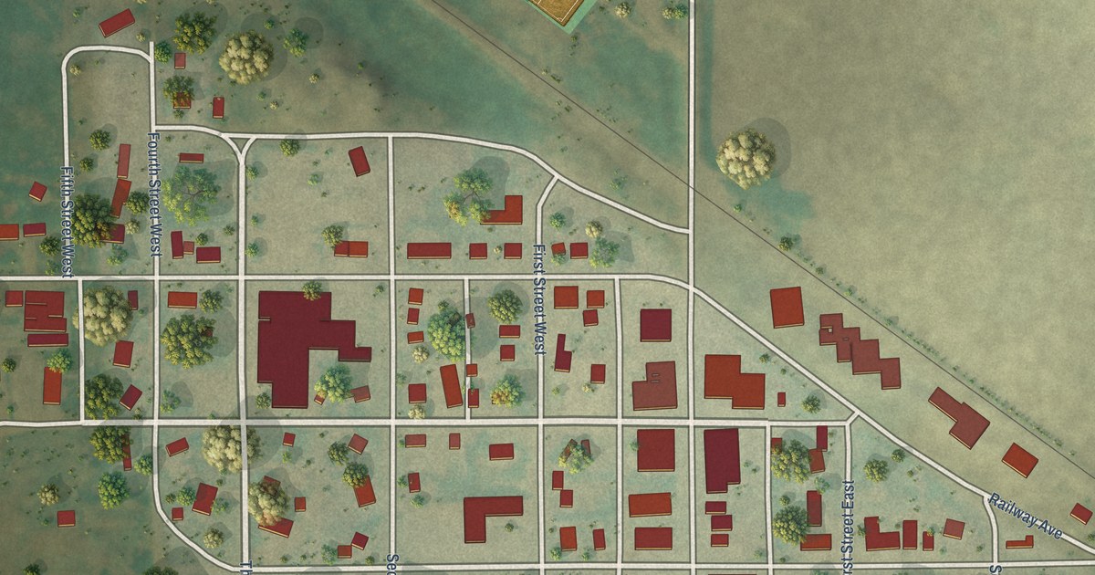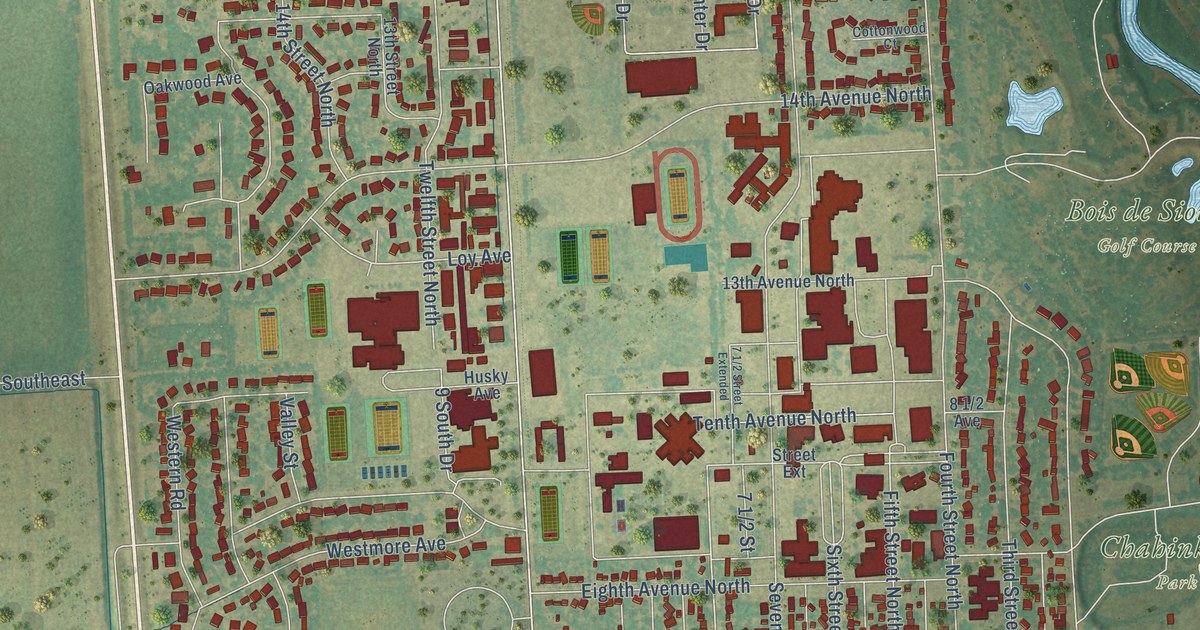
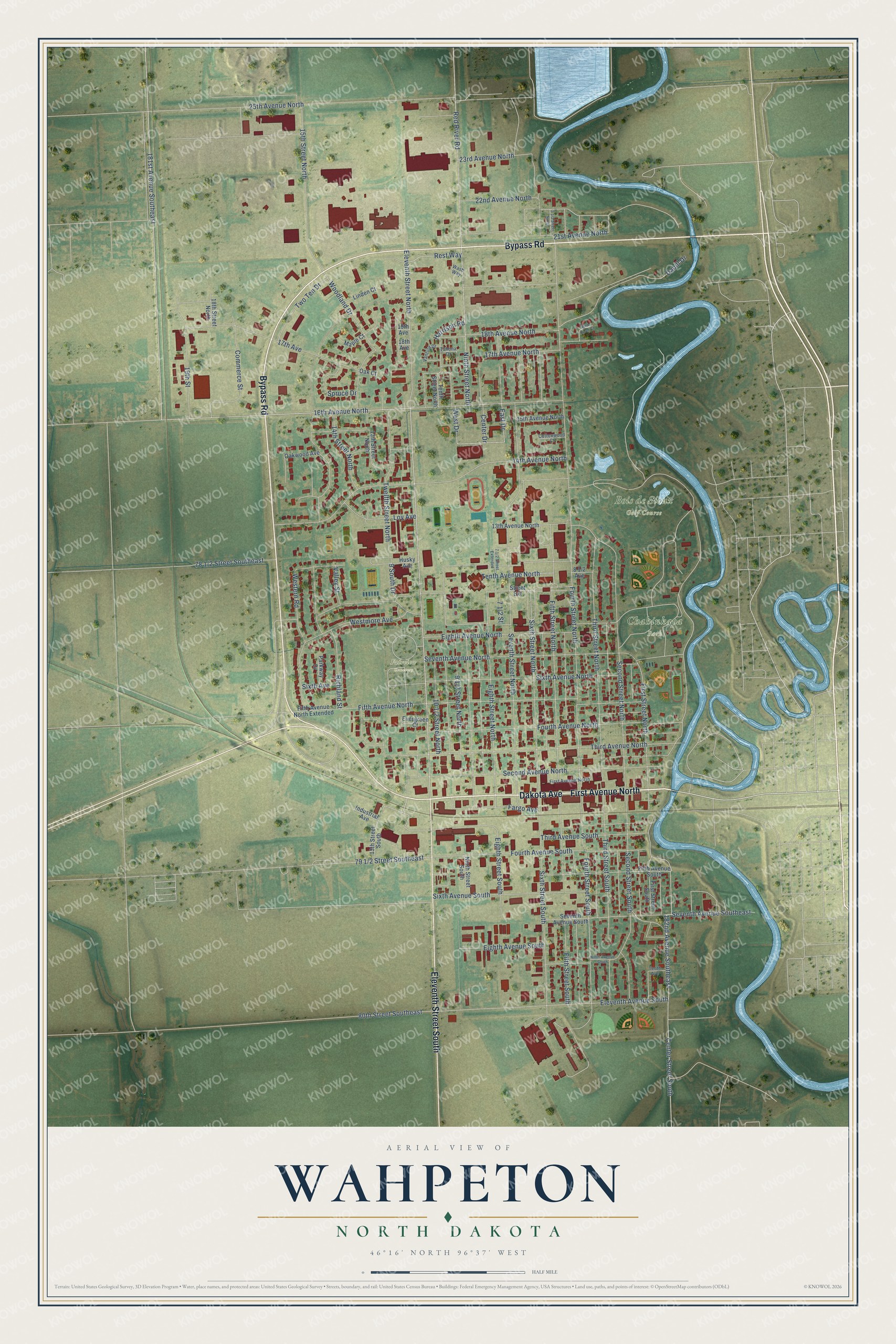
This beautifully detailed map of Wahpeton, North Dakota was created in 2026 using aerial imagery combined with modern topographical, census, street and landmark data. It's a modern aerial view of Wahpeton in Richland County, North Dakota, that combines modern data with a vintage aesthetic. The roads feature printed names, and if you look closely you can find your exact house accurately shown in its correct location.
Explore an aerial view of Wahpeton, North Dakota
On this map you'll find Bois de Sioux Golf Course, Chahinkapa Park, Fairview Cemetery, Dakota Avenue, First Avenue North, Bypass Road, Eleventh Street South, Eighth Street South, Eighth Street North, Eleventh Street North, 181st Avenue Southeast, 22nd Avenue North, and more. Each red shape is a building, so zoom in on the preview and look for yours.
Every town has a first chapter, and Wahpeton is no exception. The McLean County Historical Society puts it this way: "WAHPETON: First called RICHVILLE for the first settler and land holder, Morgan T. Rich, the original town proprietor, who came to the present site of Wahpeton in 1864."
Wahpeton is a city in Richland County. The Census Bureau counted 8,007 people here in 2020.
Take a closer look at the Wahpeton map
Names on this map
These names are printed on this map.
Places: Bois de Sioux Golf Course, Chahinkapa Park and Fairview Cemetery.
Streets and roads: Dakota Avenue, First Avenue North, Bypass Road, Eleventh Street South, Eighth Street South, Eighth Street North, Eleventh Street North, 181st Avenue Southeast, 22nd Avenue North, Fifth Street North, Fifth Avenue North, Fourth Avenue South.
More street names, A to Z
9 South Drive, 13th Avenue North, 13th Street North, 13th Street South, 14th Avenue North, 14th Street North, 15th Avenue North, 15th Street North, 16th Avenue North, 17th Avenue, 17th Avenue North, 18th Avenue, 18th Avenue North, 18th Street North, 19th Avenue, 19th Street, 21st Avenue North, 23rd Avenue North, 25th Avenue North, 80th Street Southeast, 182nd Avenue Southeast, Center Drive, Center Street South, Commerce Street, Cottonwood Court, Dabill Drive, East Drive, Eighth Avenue North, Eighth Avenue South, Eleventh Avenue South, Evergreen Court, Fargo Avenue, Fifth Avenue North Extended, Fifth Avenue South, Fifth Street South, First Street North, First Street South, Fourth Avenue North, Fourth Street North, Fourth Street South, Harrison Road, Husky Avenue, Industrial Avenue, Linden Court, Loy Avenue, Maple Court, Ninth Avenue South, Ninth Street North, Ninth Street South, Oak Court, Oakwood Avenue, Parkway Drive, Red River Court, Red River Road, Rest Way, Richland Street, Second Avenue North, Second Street North, Second Street South, Seventh Avenue North, Seventh Avenue South, Seventh Avenue Southeast, Seventh Street North, Sixth Avenue, Sixth Avenue North, Sixth Avenue South, Sixth Street North, Sixth Street South, Spruce Drive, Street Extension, Tahona Drive, Tenth Avenue, Tenth Avenue North, Tenth Street North, Third Avenue North, Third Avenue South, Third Street North, Third Street South, Twelfth Street North, Two Ten Drive, Valley Street, Vantura Drive, Wash Way, West Drive, Western Road, Westmore Avenue, Woodland Drive.
Created by KNOWOL in 2026. The buildings are small red shapes, the roads carry their printed names, and shaded relief shows the shape of the land. The title panel reads "AERIAL VIEW OF WAHPETON NORTH DAKOTA" with 46°16' NORTH 96°37' WEST.
Hang it in the hallway, the office or the cabin, or give it to someone who left Wahpeton and still calls it home. Open the preview and look for a street you know. See sizes and frames for the Wahpeton map.