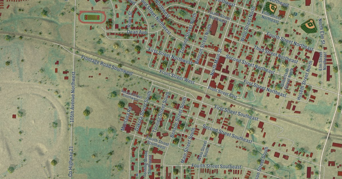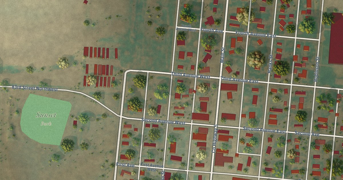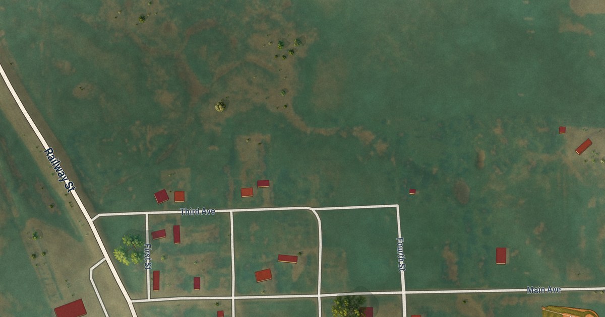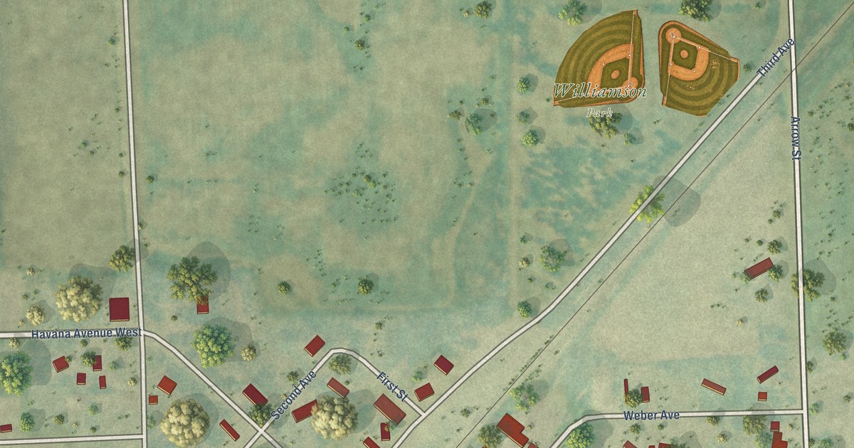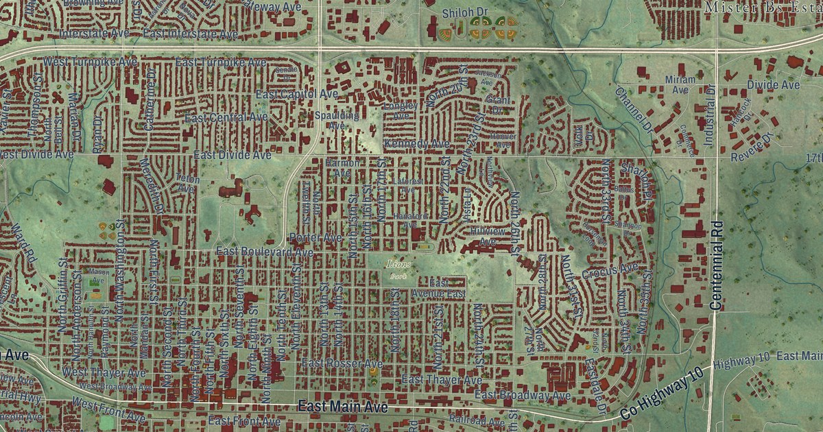
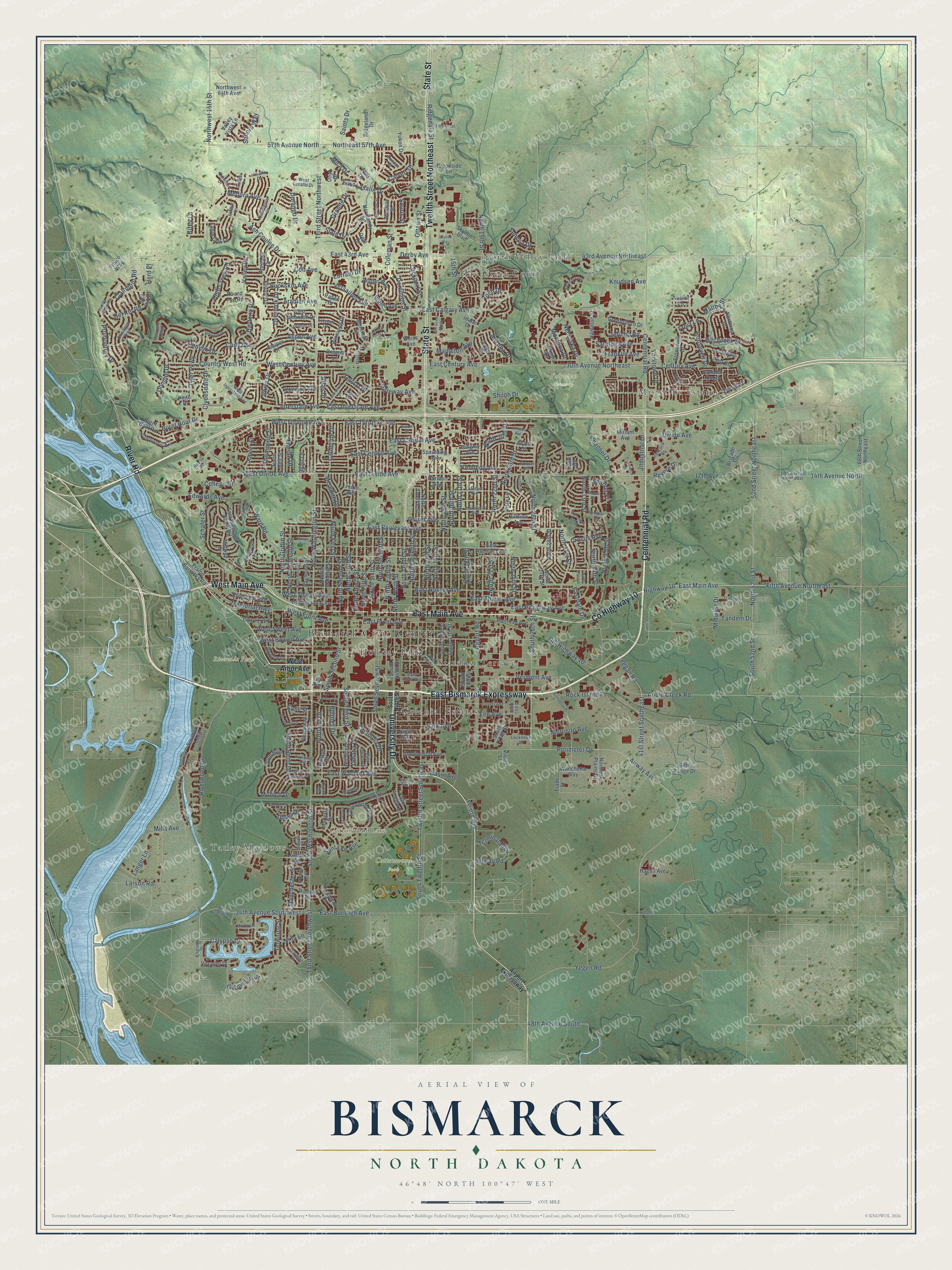
This beautifully detailed map of Bismarck, North Dakota was created in 2026 using aerial imagery combined with modern topographical, census, street and landmark data. It’s a one-of-a-kind view of Bismarck that combines accurate data with a vintage aesthetic. The map shows every building in its true location, many of the roads carry their names, and the shaded topographic relief shows the shape of the land.
Explore an aerial view of Bismarck, North Dakota
On the map you’ll find Bismarck Civic Center, Tatley Meadows, Cottonwood Lake, Cottonwood Park, Fairview Cemetery, Lions Park, Pioneer Park, Riverside Park, Colonial Estates, Holiday Park, and Mister Bs Estates, along with Hay Creek Court, and more. If you look closely you can even find your house accurately drawn in its correct location. Zoom in on the preview to look for yours.
Did you know this piece of Bismarck, North Dakota history?
From North Dakota: A Guide to the Northern Prairie State: "Bismarck's first church service was held on June 15, 1873, although Mrs. Linda W. Slaughter organized a Sunday school in a Camp Hancock tent as early as August of the previous year."
Take a closer look at the Bismarck map
Street and place names on the Bismarck, North Dakota map
These names are printed on the map of Bismarck, North Dakota.
Places: Bismarck Civic Center, Tatley Meadows, Cottonwood Lake, Cottonwood Park, Fairview Cemetery, Lions Park, Pioneer Park, Riverside Park, Colonial Estates, Hay Creek Court, Holiday Park, Mister Bs Estates, North Valley Park and Stardust Terrace.
Streets and roads: East Bismarck Expressway, Centennial Road, East Main Avenue, West Main Avenue, County Highway 10, University Drive, State Street, Twelfth Street Northeast, River Road, East Divide Avenue, Fifth Avenue Northeast, Tyler Parkway.
More street names, A to Z
14th Avenue North, 14th Street North, 15th Street, 17th Avenue, 17th Avenue Northeast, 30th Avenue Northeast, 34th Avenue Southwest, 41st Street Southeast, 43rd Avenue Northeast, 48th Avenue South, 52nd Street Northeast, 57th Avenue North, 66th Street Northeast, Airport Expressway, Airport Road, Airway Avenue, Amberglow Drive, Apple Creek Road, Arabian Avenue, Arizona Drive, Ash Coulee Drive, Aspen Avenue, Astronaut Drive, Atlas Drive, Augsburg Avenue, Baltus Drive, Basin Avenue, Bayview Court, Billings Drive, Birchwood Drive, Boise Avenue, Bonn Boulevard, Boston Drive, Bridgeport Drive, Brigade Street, Brome Avenue, Brookside Lane, Browning Avenue, Buckskin Avenue, Burlington Drive, Burnt Boat Drive, Burnt Boat Road, Calvert Drive, Calypso Drive, Camden Loop, Canyon Drive, Catherine Drive, Century Avenue, Channel Drive, Chisholm Trail, Clairmont Road, Clydesdale Drive, Cody Drive, Coleman Street, College Drive, Colt Avenue, Columbia Drive, Commerce Drive, Continental Avenue, Cornice Drive, Cottonwood Loop, Country West Road, Crescent Lane, Crocus Avenue, Daytona Drive, Del Rio Drive, Del Rio Road, Derby Avenue, Divide Avenue, Dominion Street, Domino Drive, Dortmund Drive, Dover Drive, Downing Street, Duncan Drive, Durango Drive, Eagle Crst Lp, East 43rd Avenue, East Arbor Avenue, East Avenue East, East Boulevard Avenue, East Broadway Avenue, East Burleigh Avenue, East Calgary Avenue, East Capitol Avenue, East Central Avenue, East Century Avenue, East Coulee Road, Eastdale Drive, East Front Avenue, East Highland Acres Road, East Interstate Avenue, East Lasalle Drive, East Omaha Drive, East Rosser Avenue, East Thayer Avenue, East Turnpike Avenue, East Wachter Avenue, Eastwood Street, Easy Street, Eclipse Way, Edwards Avenue, Elbowoods Lane, Elkhorn Drive, England Street, Estevan Drive, Fairfax Loop, Flint Drive, Fraine Barracks Road, Franklin Avenue, Frisco Way, Frost Lane, Gateway Avenue, Glenwood Drive, Granite Drive, Grant Drive, Greensboro Drive, Hagen Avenue, Hamilton Street, Hanaford Avenue, Hancock Drive, Harmon Avenue, Herd Place, High Creek Road, Highway 10, Hillview Avenue, Hitchcock Drive, Hoover Avenue, Horseman Loop, Houston Drive, Hudson Street, Idaho Drive, Illinois Drive, Industrial Drive, Interstate Avenue, Ithica Drive, Ivy Avenue, Jackson Avenue, Jericho Road, Jetway Road, Juniper Drive, Kennedy Avenue, Kingston Drive, Kites Lane, Knudsen Avenue, Knudsen Loop, Koch Drive, Kost Drive, Laforest Avenue, Langer Lane, Larson Road, Lasalle Drive, Lee Avenue, Lincoln Avenue, Lincoln Road, Lockheed Drive, Lockport Street, London Avenue, Longley Avenue, Lorrain Drive, Lovett Avenue, Maltby Street, Manchester Street, Manitoba Lane, Mapleton Avenue, Marian Drive, Marietta Drive, Mason Avenue, Mayflower Drive, Meadow Lane, Medora Avenue, Memorial Highway, Meredith Drive, Meridian Drive, Mesquite Loop, Mica Drive, Midway Drive, Midwest Drive, Mills Avenue, Miriam Avenue, Montana Drive, Montreal Street, Morrison Avenue, Munich Drive, Mustang Drive, Nebraska Drive, Nina Lane, Ninth Avenue, Normandy Street, North 13th Street, North 14th Street, North 15th Street, North 16th Street, North 17th Street, North 18th Street, North 19th Street, North 20th Street, North 21st Street, North 22nd Street, North 23rd Street, North 24th Street, North 26th Street, North 27th Street, North 28th Street, North 31st Street, North 32nd Street, North 33rd Street, North 34th Street, North 35th Street, North 52nd Street, North Anderson Street, North Bell Street, Northeast 57th Avenue, North Eighth Street, North Eleventh Street, Northern Plains Drive, North Fifth Street, North First Street, North Fourth Street, North Griffin Street, North Hannifin Street, North Mandan Street, North Ninth Street, Northrop Drive, North Second Street, North Seventh Street, North Sixth Street, North Tenth Street, North Third Street, North Twelfth Street, Northview Lane, North Washington Street, Northwest 15th Street, Northwest 64th Avenue, Nova Drive, Oakland Drive, Old Highway 10, Omaha Drive, Ontario Lane, Onyx Drive, Opal Drive, Oregon Drive, Ottawa Street, Overlook Drive, Park Avenue, Patriot Drive, Perimeter Drive, Pinto Place, Porter Avenue, Portland Drive, Powder Ridge Drive, Promontory Drive, Railroad Avenue, Raven Drive, Raymond Street, Renee Drive, Revere Drive, Ridgedale Street, Ridgeland Drive, Rifle Range Drive, Riverview Avenue, Riverwood Drive, Rock Island Place, Rocky Point Lane, Roosevelt Drive, Round Top Road, Rutland Drive, Ryan Drive, Saints Drive, San Angelo Drive, Santa Fe Avenue, Saratoga Avenue, Schafer Street, Senate Drive, Seneca Drive, Shannon Drive, Sharloh Place, Shiloh Drive, Skyline Boulevard, Skyline Way, Slate Drive, Sonora Way, Souris Street, South 13th Street, South 15th Street, South 16th Street, South 18th Street, South 22nd Street, South 23rd Street, South 26th Street, South 52nd Street, South Grandview Lane, South Ninth Street, Southport Loop, South Reno Drive, South Second Street, South Seventh Street, South Third Street, South Twelfth Street, South Washington Street, Spaulding Avenue, Stonewall Drive, Sunlight Drive, Sussex Street, Tacoma Avenue, Tahoe Drive, Tandem Drive, Telstar Drive, Terminal Boulevard, Territory Drive, Teton Avenue, Third Street Northwest, Third Street Southwest, Thompson Street, Toronto Drive, Trade Street, Transport Lane, Trenton Drive, Tucker Lane, Twelfth Street Southeast, Valley Drive, Valley Vista Lane, Vermont Avenue, Versailles Avenue, Vision Street, Vista Lane, Volk Drive, Voyager Drive, Walter Way, Wanchena Way, Ward Road, Warwick Loop, Weiss Avenue, West Arbor Avenue, West Bowen Avenue, West Broadway Avenue, West Burleigh Avenue, West Century Avenue, West Divide Avenue, West Edmonton Drive, West Front Avenue, West Interstate Avenue, West Lasalle Drive, West Sweet Avenue, West Thayer Avenue, West Turnpike Avenue, West Wachter Avenue, Wichita Drive, Windsor Street, Winnipeg Drive, Xavier Street, Yegan Road, Yegen Road, Yorkshire Lane, Yorktown Drive, Yukon Drive.
See the Bismarck, North Dakota map on a wall
The Bismarck map as an 18 x 24 inch print in a black frame.

This beautifully detailed map of Bismarck makes an attractive addition to your office, library, or den, and it can even be used to teach children the geography and history of the area. It also makes a great gift for someone who left Bismarck and still calls it home. When you’re done exploring, click here to get your copy of the Bismarck map.