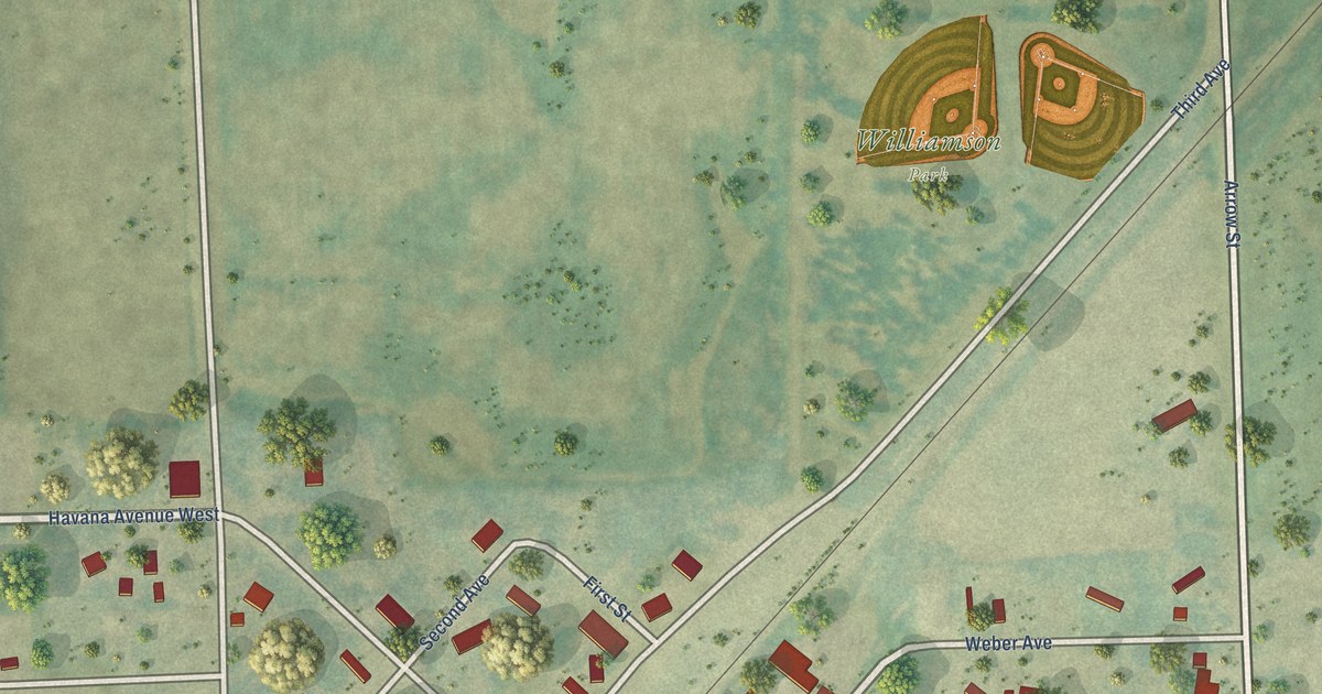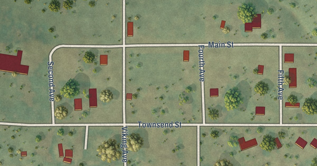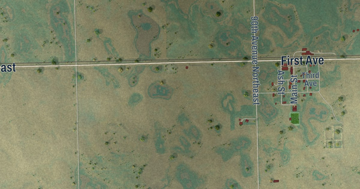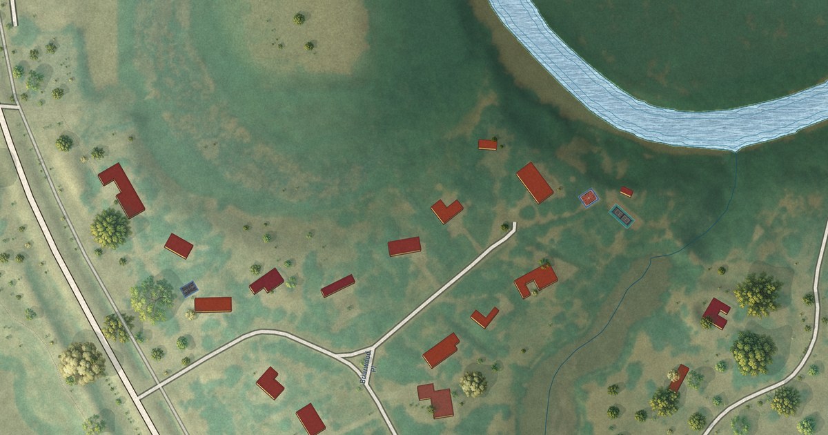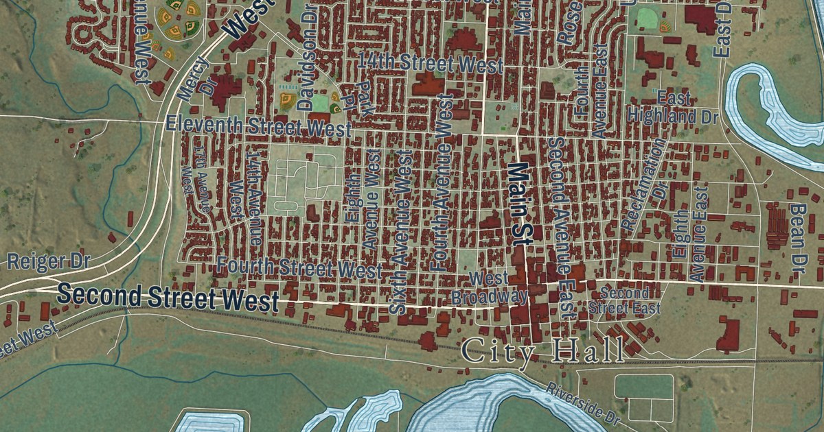
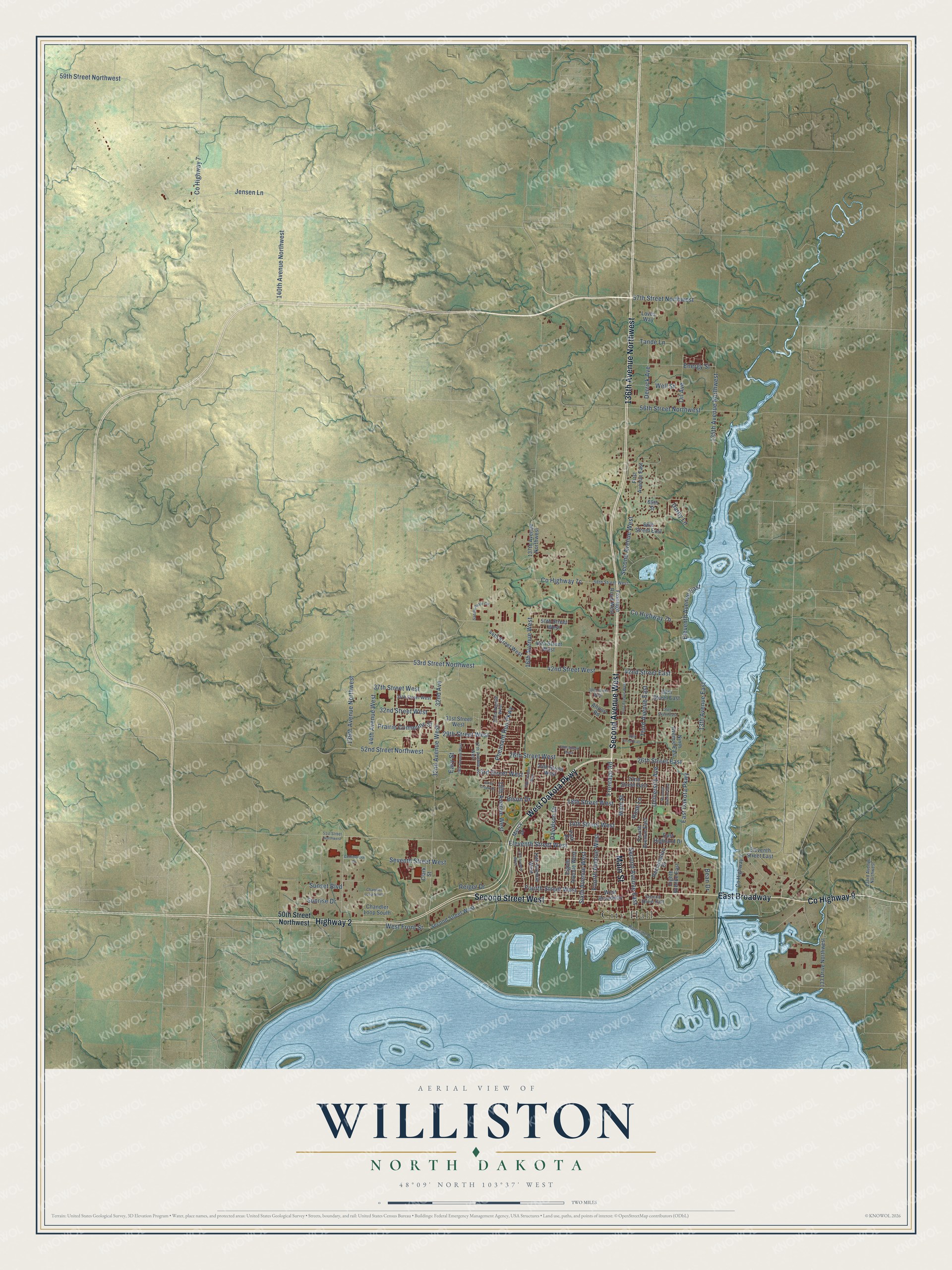
This beautifully detailed map of Williston, North Dakota was created in 2026 using aerial imagery combined with modern topographical, census, street and landmark data. It’s a one-of-a-kind view of Williston that combines accurate data with a vintage aesthetic. The map shows every building in its true location, many of the roads carry their names, and the shaded topographic relief shows the shape of the land.
Explore an aerial view of Williston, North Dakota
On the map you’ll find City Hall and East Broadway, along with Second Avenue West, Second Street West, County Highway 9, Main Street, 136th Avenue Northwest, West Dakota Parkway, Highway 2, 26th Street West, 14th Street West, 26th Street East, and more. If you look closely you can even find your house accurately drawn in its correct location. Zoom in on the preview to look for yours.
Did you know this piece of Williston, North Dakota history?
From the McLean County Historical Society: "The post office, known as Little Muddy, was established here Jan. 15, 1884, with G. B. Metzger, postmaster. A few miles west on higher ground, during the construction of the railroad, a tent colony with a few log cabins sprung up along Siding 25, which was designated the Williston townsite."
Take a closer look at the Williston map
Street and place names on the Williston, North Dakota map
These names are printed on the map of Williston, North Dakota.
Places: City Hall.
Streets and roads: Second Avenue West, Second Street West, County Highway 9, Main Street, 136th Avenue Northwest, West Dakota Parkway, East Broadway, Highway 2, 26th Street West, 14th Street West, 26th Street East, Eleventh Street West.
More street names, A to Z
13th Avenue East, 14th Avenue West, 15th Avenue West, 16th Avenue West, 17th Avenue West, 18th Street West, 19th Avenue West, 22nd Avenue West, 22nd Street East, 23rd Street West, 24th Street West, 27th Avenue West, 28th Street West, 29th Avenue West, 29th Street West, 30th Street East, 31st Street West, 32nd Avenue, 32nd Avenue West, 32nd Street West, 35th Street East, 35th Street West, 37th Street West, 38th Street East, 38th Street West, 42nd Street East, 42nd Street West, 44th Avenue West, 44th Street West, 45th Street West, 50th Street Northwest, 50th Street West, 51st Street Northwest, 52nd Street Northwest, 53rd Street Northwest, 56th Street Northwest, 57th Street Northwest, 58th Street West, 59th Street Northwest, 66th Street East, 69th Street, 133 Drive Northwest, 133rd Avenue Northwest, 135th Avenue Northwest, 137th Avenue Northwest, 139th Avenue Northwest, 140th Avenue Northwest, Airport Road, Bean Drive, Bison Drive, Chandler Loop North, Chandler Loop South, Clark Street, Commercial Drive, County Highway 7, Darby Lane, Davidson Drive, Derrick Avenue, East Dakota Parkway, East Highland Drive, Easy Street, Eighth Avenue East, Eighth Avenue West, Eleventh Avenue East, Eleventh Street East, Energy Street, First Avenue East, First Avenue West, Fourth Avenue East, Fourth Avenue West, Fourth Street West, Frontage Road, Frontage Road West, Jensen Lane, Loves Way, Mercy Drive, Ninth Avenue East, Oil Avenue, Park Place, Pheasant Run Parkway, Prairie Commons Street, Reclamation Drive, Reiger Drive, Riverside Drive, Rose Lane, Saddle Ridge Circle, Sand Creek Drive, Second Avenue East, Second Street East, Seventh Avenue East, Seventh Street West, Sixth Avenue West, Sunrise Drive, Sunset Boulevard, Tande Lane, Third Avenue East, University Avenue, Well Street, West Broadway, West Front Street.
See the Williston, North Dakota map on a wall
The Williston map as an 18 x 24 inch print in a black frame.

This beautifully detailed map of Williston makes an attractive addition to your office, library, or den, and it can even be used to teach children the geography and history of the area. It also makes a great gift for anyone who grew up in Williston or moved away. When you’re done exploring, click here to get your copy of the Williston map.