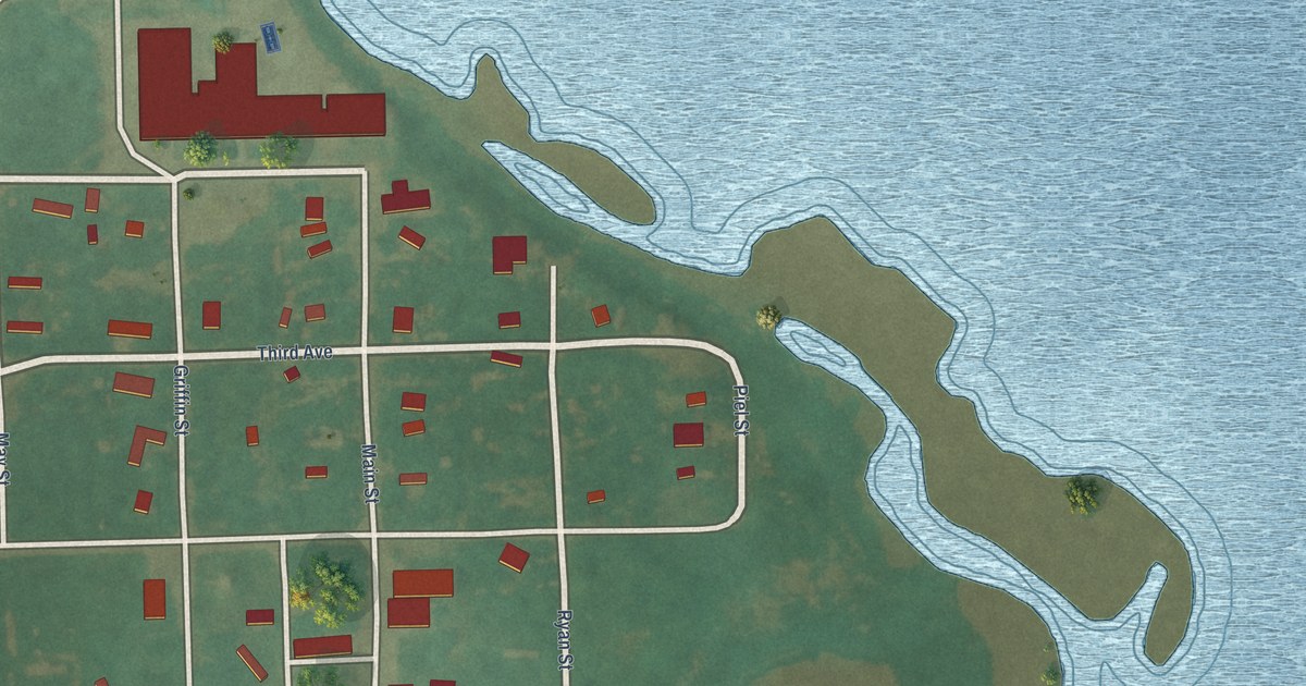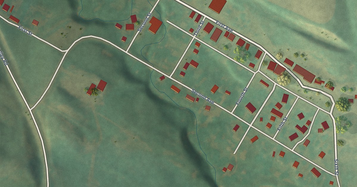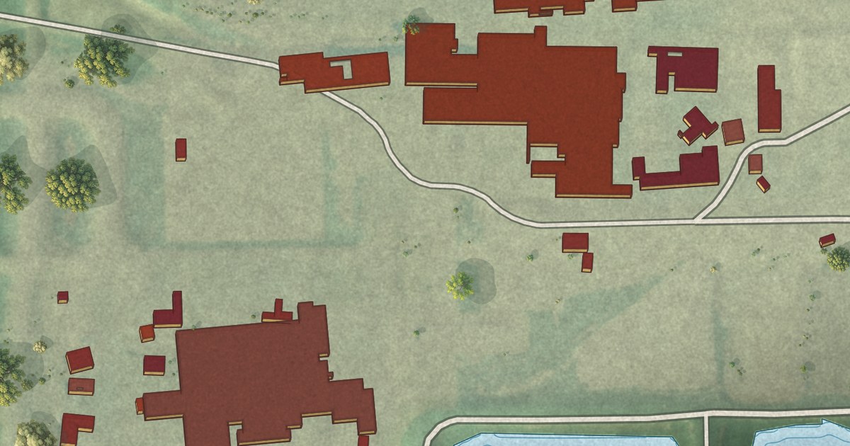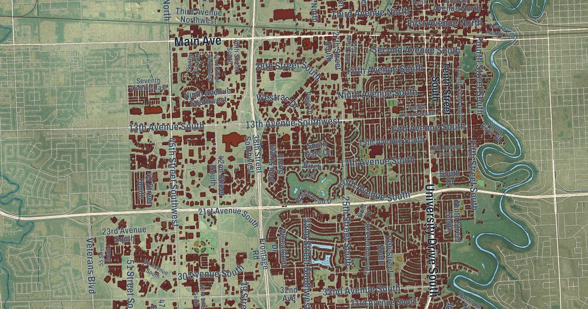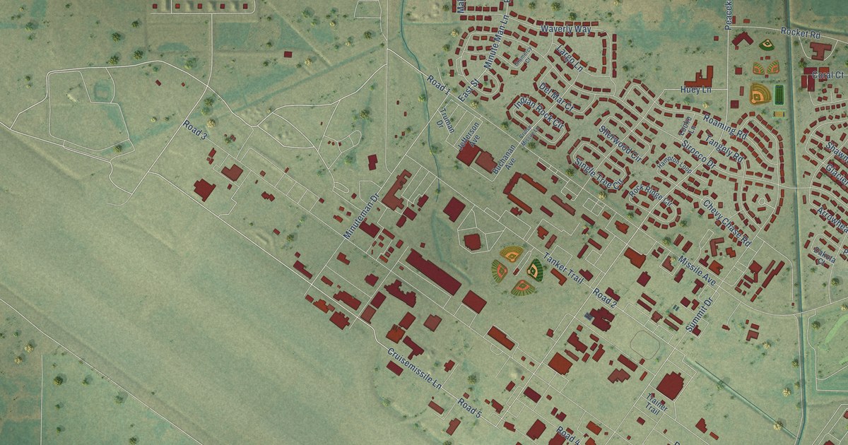
This beautifully detailed map of Minot AFB, North Dakota was created in 2026 using aerial imagery combined with modern topographical, census, street and landmark data. It’s a one-of-a-kind view of Minot AFB that combines accurate data with a vintage aesthetic. The map shows every building in its true location, many of the roads carry their names, and the shaded topographic relief shows the shape of the land.
Explore an aerial view of Minot AFB, North Dakota
On the map you’ll find Road 1, Road 5, and Peacekeeper Place, along with Minuteman Drive, Cruisemissile Lane, Summit Drive, Huey Lane, Sirocco Drive, Arrowhead Drive, Mallard Trail, Bomber Boulevard, Missile Avenue, and more. If you look closely you can even find your house accurately drawn in its correct location. Zoom in on the preview to look for yours.
Did you know this about Minot AFB, North Dakota?
From the State Historical Society of North Dakota: "Minuteman III missile fields are still operating in North Dakota, based out of Minot Air Force Base."
Take a closer look at the Minot AFB map
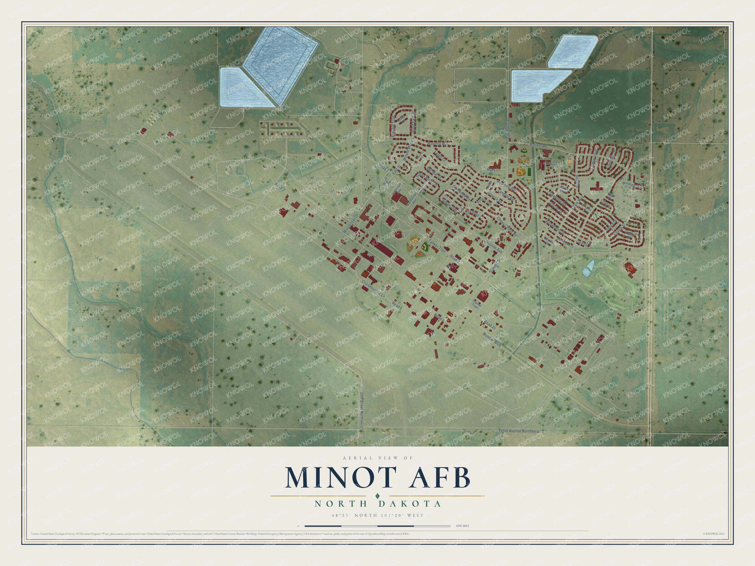
Street names on the Minot AFB, North Dakota map
These names are printed on the map of Minot AFB, North Dakota.
Streets and roads: Road 1, Road 5, Peacekeeper Place, Minuteman Drive, Cruisemissile Lane, Summit Drive, Huey Lane, Sirocco Drive, Arrowhead Drive, Mallard Trail, Bomber Boulevard, Missile Avenue.
More street names, A to Z
30th Street Northwest, 156th Avenue Northwest, Avion Way, Buchanan Avenue, Chevy Chase Road, Coral Court, Cruise Missile Lane, Dakota Court, Dauphin Drive, Del Mar Court, Delta Drive, Dundee Drive, Eagle Way, East Street, Glacier Drive, Gramercy Court, Hampton Loop, Indian Rock Circle, Jefferson Avenue, Landing Court, Largo Lane, Lariat Lane, Lilac Lane, Linden Loop, Locke Lane, Minute Man Lane, Pembrook Lane, Polar Place, Prairie Place, Road 2, Road 3, Road 4, Road East Street, Roaming Road, Rocket Road, Rock Ridge Circle, Shawnee Road, Sherwood Circle, Siesta Drive, Single Tree Circle, Spruce Street, Tangely Road, Tanker Trail, Trainer Trail, Truman Drive, Waverly Way, Winding Way.
See the Minot AFB, North Dakota map on a wall
The Minot AFB map as an 18 x 24 inch print in a black frame.

This beautifully detailed map of Minot AFB makes an attractive addition to your office, library, or den, and it can even be used to teach children the geography and history of the area. It also makes a great gift for someone who left Minot AFB and still calls it home. When you’re done exploring, click here to get your copy of the Minot AFB map.