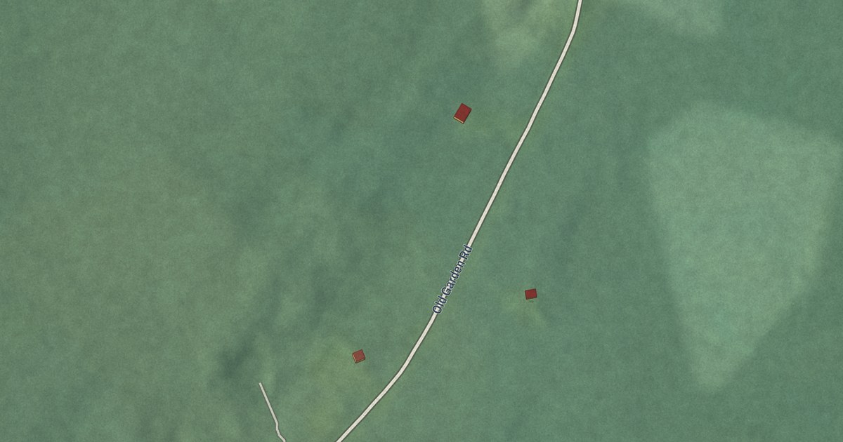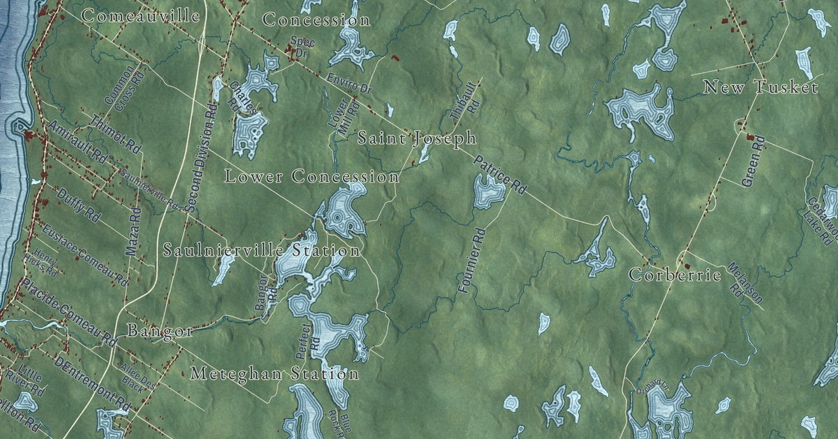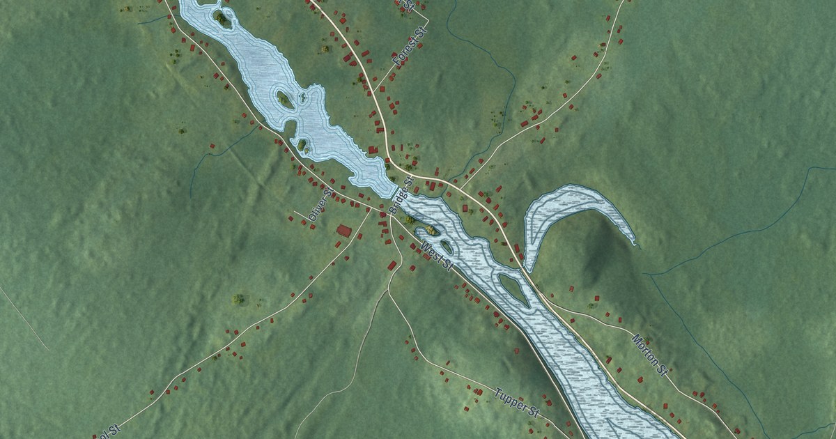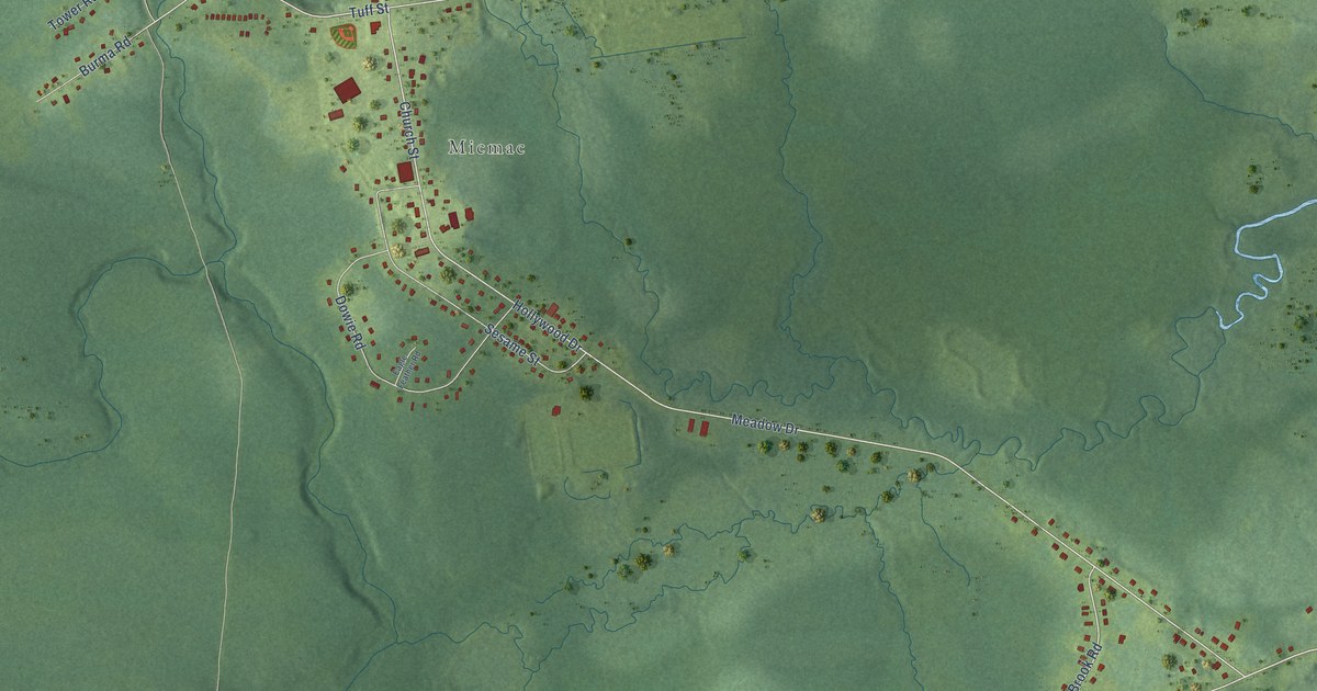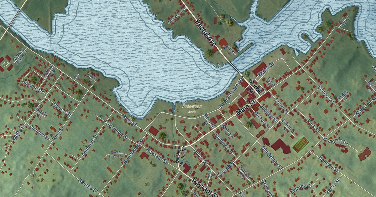
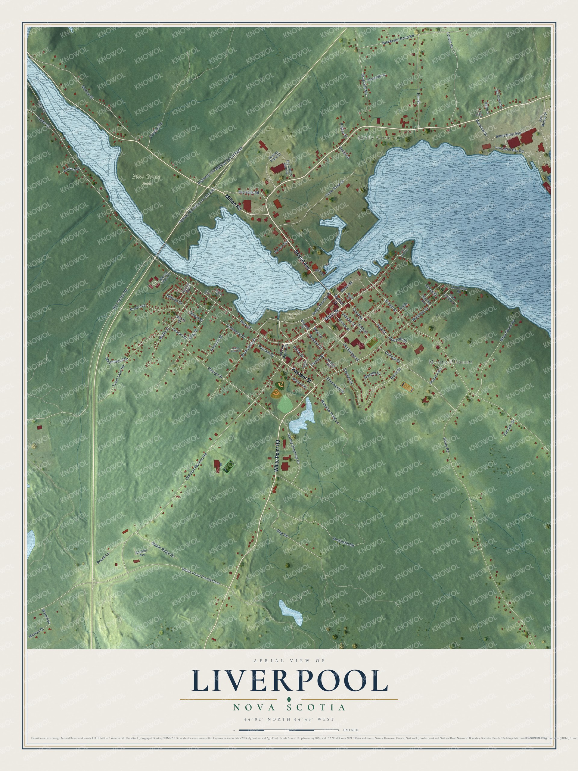
This beautifully detailed map of Liverpool, Nova Scotia was created in 2026 using aerial imagery combined with modern topographical, census, street and landmark data. It’s a one-of-a-kind view of Liverpool that combines accurate data with a vintage aesthetic. The map shows every building in its true location, many of the roads carry their names, and the shaded topographic relief shows the shape of the land.
Explore an aerial view of Liverpool, Nova Scotia
On the map you’ll find Sandy Cove, Pine Grove Park, Privateer Park, and Mount Pleasant, along with Bristol Avenue, Main Street, White Point Road, Milton Road, Payzant Street, Henry Hensey Drive, George Street, Waterloo Street, and more. If you look closely you can even find your house accurately drawn in its correct location. Zoom in on the preview to look for yours.
Take a closer look at the Liverpool map
Names on this map
These names are printed on this map.
Places: Sandy Cove, Pine Grove Park, Privateer Park and Mount Pleasant.
Streets and roads: Bristol Avenue, Main Street, White Point Road, Milton Road, Payzant Street, Henry Hensey Drive, George Street, Waterloo Street, Old Port Mouton Road, Union Street, Old Falls Road, King Street.
More street names, A to Z
Alexander Drive, Amherst Street, Barss Street, Bartling Avenue, Bayview Drive, Birch Avenue, Boehner Street, Bog Road, Bootlegger Road, Boulder Avenue, Brunswick Street, Central Boulevard, Church Street, Cobb Street, College Street, Common Street, Court Street, Cowie Street, Crowell Street, Crusher Road, Edward Street, Ellenwood Street, Elm Street, Enos Collins Lane, Fort Point Lane, Golds Lane, Gorham Street, Great Hill Road, Hank Snow Drive, Harley Umphrey Drive, Highway 103 EB Exit 19 Off Ramp, Highway 103 WB Exit 19 Off Ramp, Hill Crest Avenue, Hillside Drive, Hollands Drive, Innovation Avenue, James Street, Jubilee Street, Keddy Lane, Lawrence Street, Liverpool Bay Road, Locust Street, Maple Ridge Drive, Maple Street, Maplewood Drive, Market Street, Mcdonald Road, McLeod Street, Meadow Pond Lane, Mersey Avenue, Mersey Place Court, Millard Avenue, Morris Street, Morton Drive, Morton Street, Murphy Drive, Nickerson Pond Road, Oak Street, Old Bridge Street, Old Cobb's Barn Road, Parker Street, Park Street, Peach Lane, Pleasant Avenue, Poplar Street, Port Mersey Drive, Queens Place Drive, Queen Street, Queen Street Extension, Reese Street, Rent Road, Roy Turner Road, School Street, Shore Road, Summer Street, Town Lake Road, Tupper Street, Ward Avenue, Water Street, Weir Lane, West Street, Wharf Rock Road, White Point Connection, Wolfe Street, Zwicker Avenue, Zwicker Drive.
See it on a wall
The Liverpool map as an 18 x 24 inch print in a black frame.

This beautifully detailed map of Liverpool makes an attractive addition to your office, library, or den, and it can even be used to teach children the geography and history of the area. It also makes a great gift for someone who left Liverpool and still calls it home. When you’re done exploring, click here to get your copy of the Liverpool map.