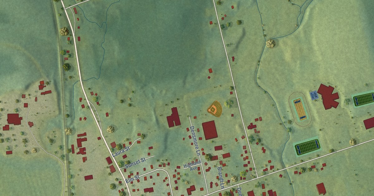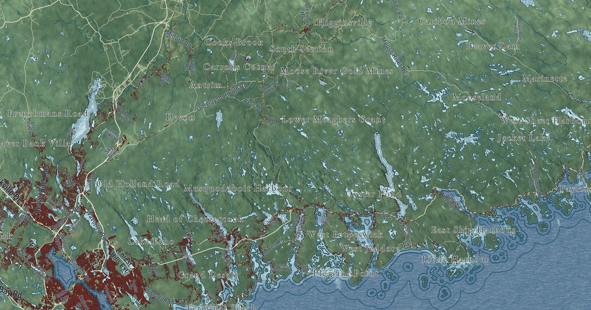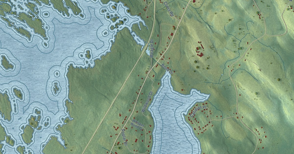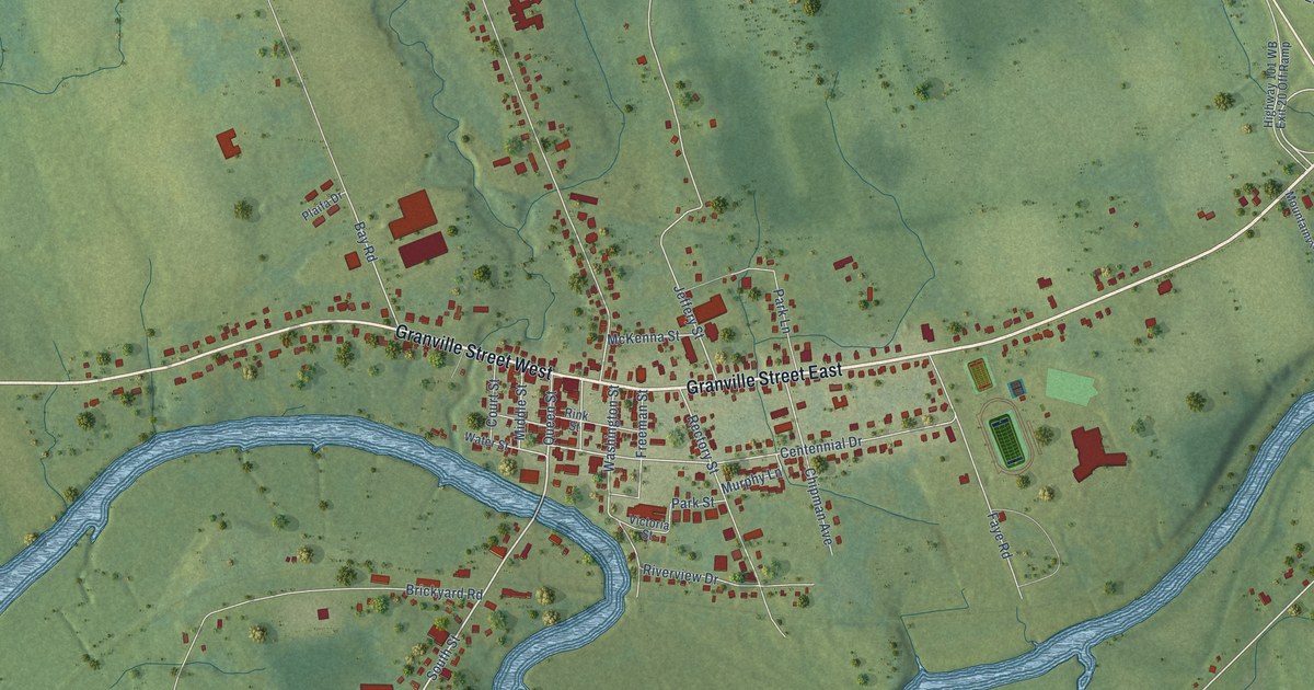
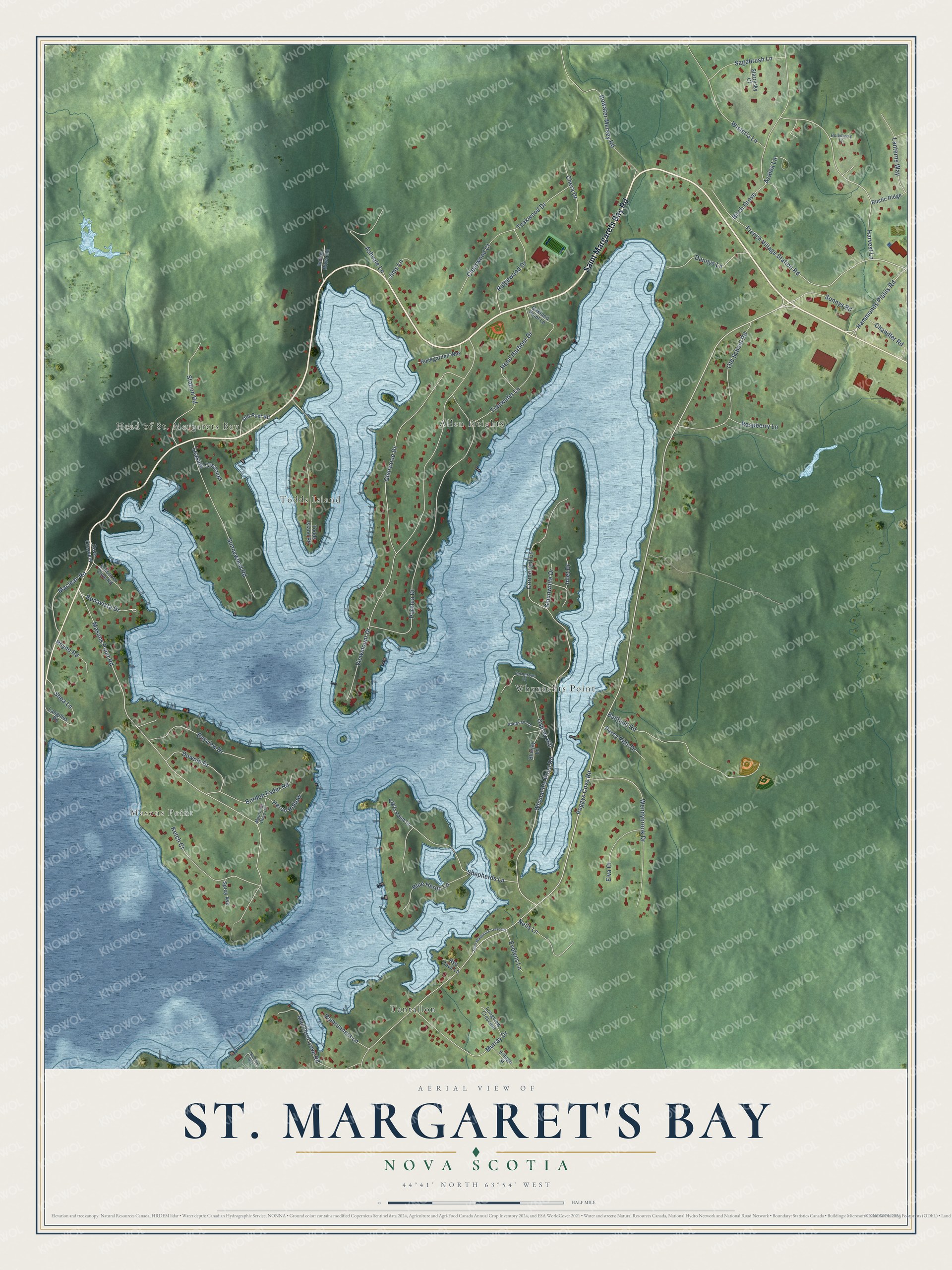
This beautifully detailed map of St. Margaret's Bay, Nova Scotia was created in 2026 using aerial imagery combined with modern topographical, census, street and landmark data. It’s a one-of-a-kind view of St. Margaret’s Bay that combines accurate data with a vintage aesthetic. The map shows every building in its true location, many of the roads carry their names, and the shaded topographic relief shows the shape of the land.
Explore an aerial view of St. Margaret's Bay, Nova Scotia
On the map you’ll find Masons Point, Allen Heights, Whynachts Point, Tantallon, and Todds Island, along with Saint Margarets Bay Road, Peggys Cove Road, Hammonds Plains Road, French Village Station Road, Masons Point Road, Whynachts Point Road, Harvest Lane, and more. If you look closely you can even find your house accurately drawn in its correct location. Zoom in on the preview to look for yours.
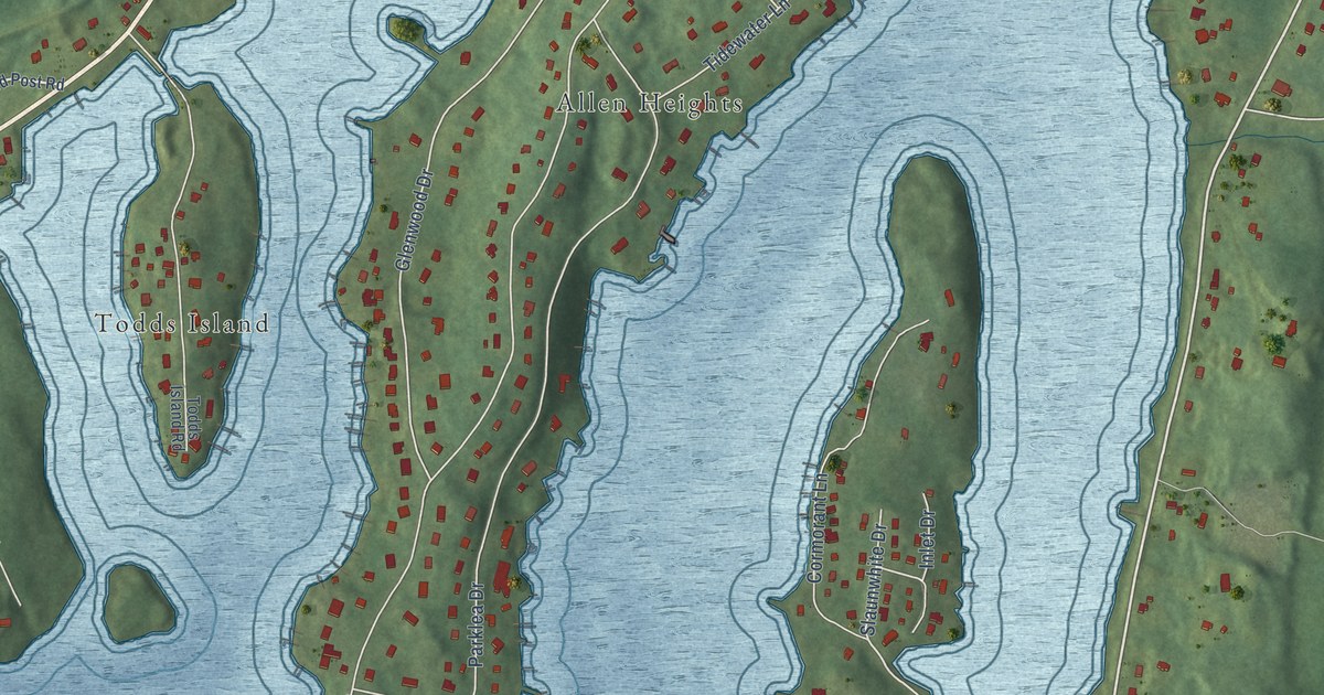
Take a closer look at the St. Margaret's Bay map
Names on this map
These names are printed on this map.
Places: Masons Point, Head of St. Margarets Bay, Allen Heights, Whynachts Point, Tantallon and Todds Island.
Streets and roads: Saint Margarets Bay Road, Peggys Cove Road, Hammonds Plains Road, French Village Station Road, Masons Point Road, Whynachts Point Road, Harvest Lane, Osprey Hill, Murray Drive, Ridgewood Drive, Maclean Road, Viewmount Drive.
More street names, A to Z
Ashvale Lane, Azalea Lane, Ballfield Road, Bayview Drive, Birch Grove, Blue Heron Lane, Bluejay Lane, Bonavista Drive, Borden Fader Road, Bowater Mersey Road, Chandler Road, Chera Drive, Clearwood Court, Cormorant Lane, Cove Crescent, Dannys Lane, Downie Drive, Eagle Point Lane, Elva Court, Evelyns Lane, Ferngrove Lane, Glenwood Drive, Head Harbour Drive, Heron Hollow, Hollyberry Lane, Indian River Road, Inlet Drive, Jims Lane, Ketch Court, Langilles Road, Lanterns Way, Leaside Crescent, Longview Crescent, Mackerel Cove Road, Mourning Dove Lane, Nautical Way, Neils Lane, Oakland Point Lane, Old Post Road, Old School Road, Parklea Drive, Percy Pitts Drive, Pheasant Lane, Raspberry Lane, Rhyno Road, Rockgarden Way, Rumrunners Lane, Rustic Ridge, Rye Cove Lane, Sagebrush Lane, Saint Margarets Crescent, Schooner Cove Road, Shea Lane, Shepherds Lane, Slaunwhite Drive, Sonnys Road, Spray Avenue, Starrysky Court, Station Road, Sunnywood Road, Teakwood Drive, Tidewater Lane, Todds Island Road, Village Street, Wendybrook Drive, Wisteria Lane.
See it on a wall
The St. Margaret's Bay map as an 18 x 24 inch print in a black frame.

This beautifully detailed map of St. Margaret’s Bay makes an attractive addition to your office, library, or den, and it can even be used to teach children the geography and history of the area. It also makes a great gift for someone who left St. Margaret’s Bay and still calls it home. When you’re done exploring, click here to get your copy of the St. Margaret’s Bay map.