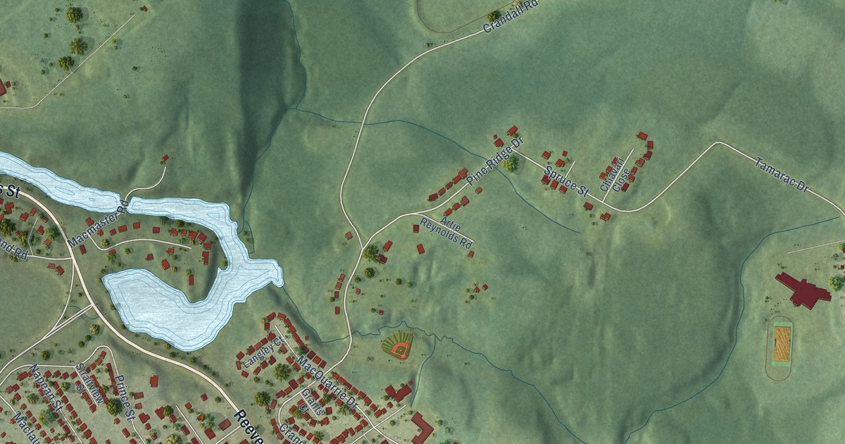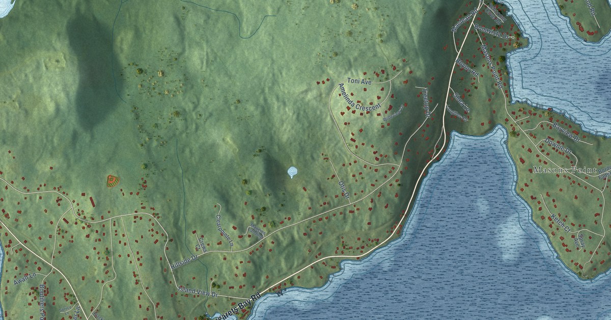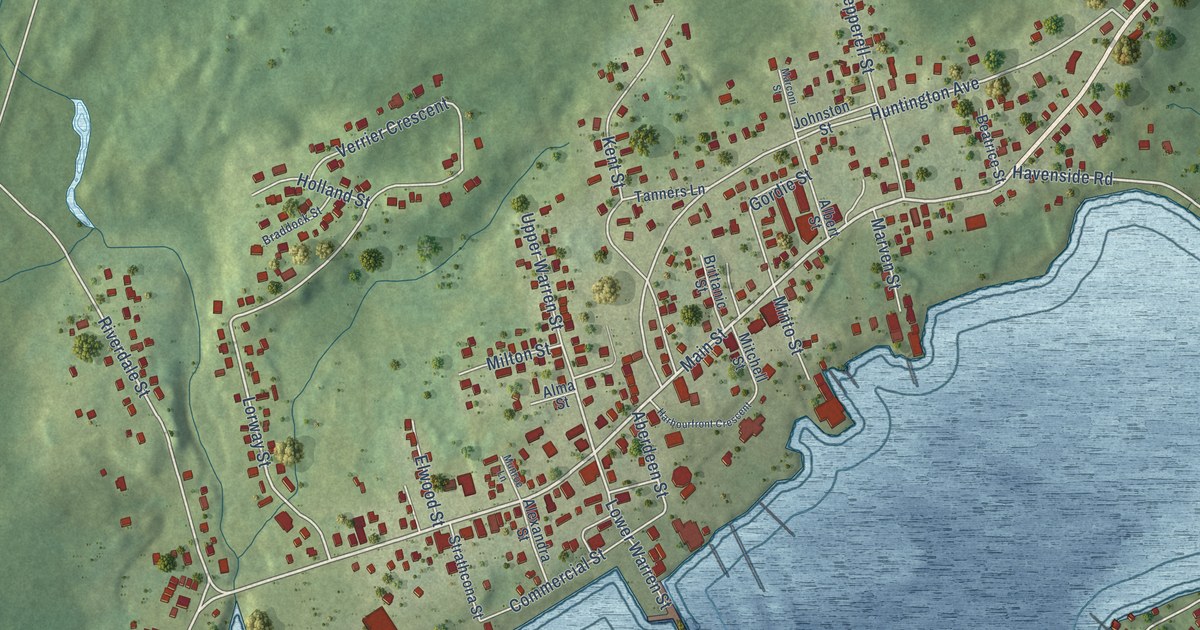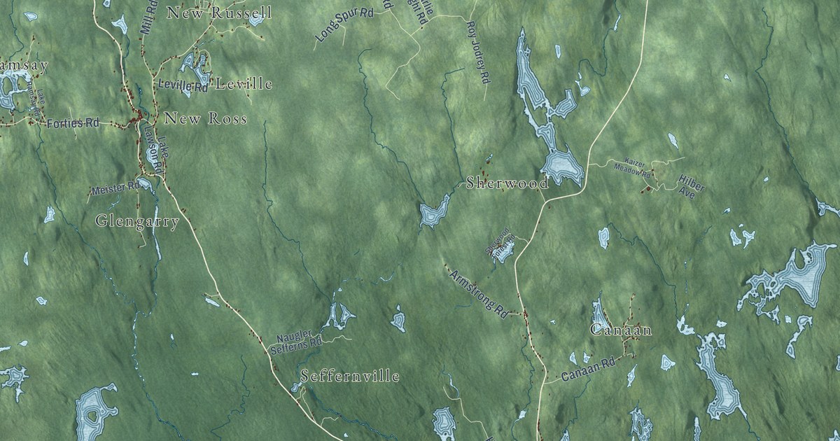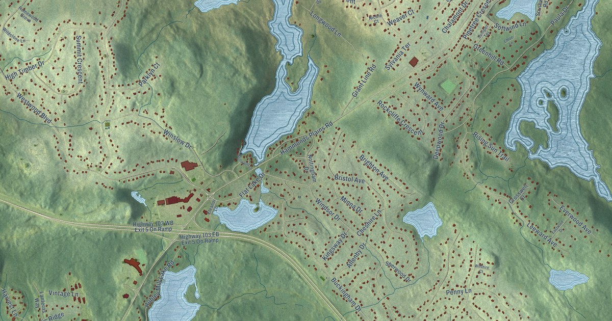
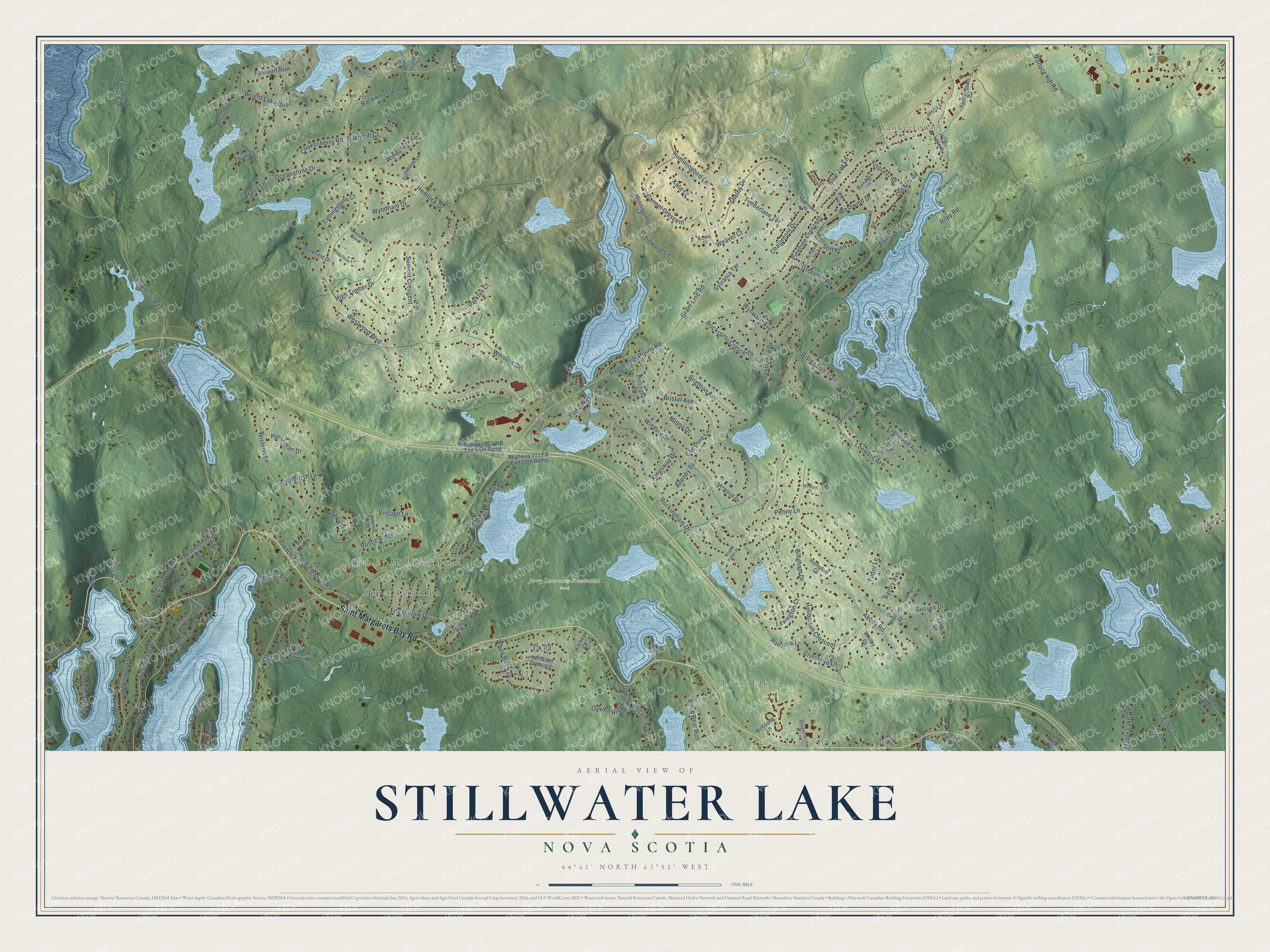
This beautifully detailed map of Stillwater Lake, Nova Scotia was created in 2026 using aerial imagery combined with modern topographical, census, street and landmark data. It’s a one-of-a-kind view of Stillwater Lake that combines accurate data with a vintage aesthetic. The map shows every building in its true location, many of the roads carry their names, and the shaded topographic relief shows the shape of the land.
Explore an aerial view of Stillwater Lake, Nova Scotia
On the map you’ll find Upper Tantallon, Yankeetown, Lewis Lake, Jerry Lawrence Provincial Park, and Rockcliffe Crescent, along with Hubley Mill Lake Road, Saint Margarets Bay Road, Hammonds Plains Road, Flat Lake Drive, Windsor Drive, Westwood Boulevard, French Village Station Road, and more. If you look closely you can even find your house accurately drawn in its correct location. Zoom in on the preview to look for yours.
Take a closer look at the Stillwater Lake map
Names on this map
These names are printed on this map.
Places: Upper Tantallon, Yankeetown, Lewis Lake, Hubley Mill Lake Road and Jerry Lawrence Provincial Park.
Streets and roads: Saint Margarets Bay Road, Hammonds Plains Road, Flat Lake Drive, Windsor Drive, Westwood Boulevard, French Village Station Road, Rockcliffe Crescent, Pinetree Crescent, Harvest Lane, Chalamont Drive, Buckingham Drive, Timberlane Terrace.
More street names, A to Z
Abbey Road, Allenby Drive, Aralia Lane, Ashberry Court, Ashvale Lane, Backwood Lane, Bantry Avenue, Bingham Drive, Birch Bear Run, Birch Grove, Birdsong Lane, Blue Jay Lane, Bowater Mersey Road, Brighton Avenue, Bristol Avenue, Bushmill Court, Carmel Crescent, Chera Drive, Cheshire Lane, Chloe Lane, Chokecherry Road, Clearspring Lane, Clearwood Court, Cormorant Lane, Cox Lake Road, Crosswell Court, Dannys Lane, Deepwood Drive, Dreamcatcher Lane, Driftscape Lane, Eastwind Drive, Eden Lane, Eider Drive, Eleanor Lane, Elk Road, Ensley Road, Everwood Avenue, Falcourt Run, Fellesmere Lane, Fisher Drive, Fox Hollow Drive, Fullwood Lane, Glen Arbour Way, Glenwood Drive, Goldeneye Drive, Grant Line Road, Grebe Avenue, Greenhill Road, Grinstead Lane, Haliburton Crescent, Hampton Court, Head Harbour Drive, Hemlock Drive, High Timber Drive, Highway 103 EB Exit 5 On Ramp, Highway 103 WB Exit 5 On Ramp, Hiking Trail Road, Hilchey Court, Homewood Grove, Huck Finn Road, Hummingbird Lane, Hurshman Drive, Indian River Road, Inlet Drive, Jenna Lane, Joshua Slocum Avenue, Juniper Terrace, Kata Court, Kimara Drive, Kingsway Drive, Kingsway Road, Knight Bridge Drive, Lanterns Way, Leeward Avenue, Lexington Court, Longwood Lane, Mackenzie Lane, Mallard Drive, Maple Lake Road, Melrose Drive, Minna Drive, Morningsong Lane, Nicole Court, Northwood Road, Nottingham Drive, Oakhill Ridge, Oakland Point Lane, Oceanstone Drive, Old Mill Road, Old Post Road, Old School Road, Parklea Drive, Parklyn Court, Park Terrace, Paula Drive, Peggys Cove Road, Penny Lane, Pipeline Road, Ransomes Road, Raspberry Lane, Ridgewood Drive, Riley Road, Rising Sun Trail, Rockfield Drive, Rockgarden Way, Rustic Ridge, Sagebrush Lane, Shelby Drive, Sherwood Drive, Softwind Lane, Softwood Lane, Sonnys Road, Southwood Road, Stillwater Lane, Summit Crescent, Sunnyview Terrace, Sunnywood Road, Sussex Drive, Sylvania Terrace, Tantallon Crescent, Tattingstone Court, Teakwood Drive, Telford Lane, Thyme Lane, Tidewater Lane, Todds Island Road, Tudor Lane, Viewmount Drive, Vintage Lane, Wallace Hill Road, Wallbrook Lane, Waterbury Lane, Weaver Court, Westwind Drive, Whitby Court, White Birch Drive, Wildstone Lane, Wilshire Court, Windbreak Run, Winslow Drive, Wisteria Lane, Wright Lake Run, Wyndham Drive, Wynward Avenue, Yankeetown Road.
See it on a wall
The Stillwater Lake map as an 18 x 24 inch print in a black frame.

This beautifully detailed map of Stillwater Lake makes an attractive addition to your office, library, or den, and it can even be used to teach children the geography and history of the area. It also makes a great gift for someone who left Stillwater Lake and still calls it home. When you’re done exploring, click here to get your copy of the Stillwater Lake map.