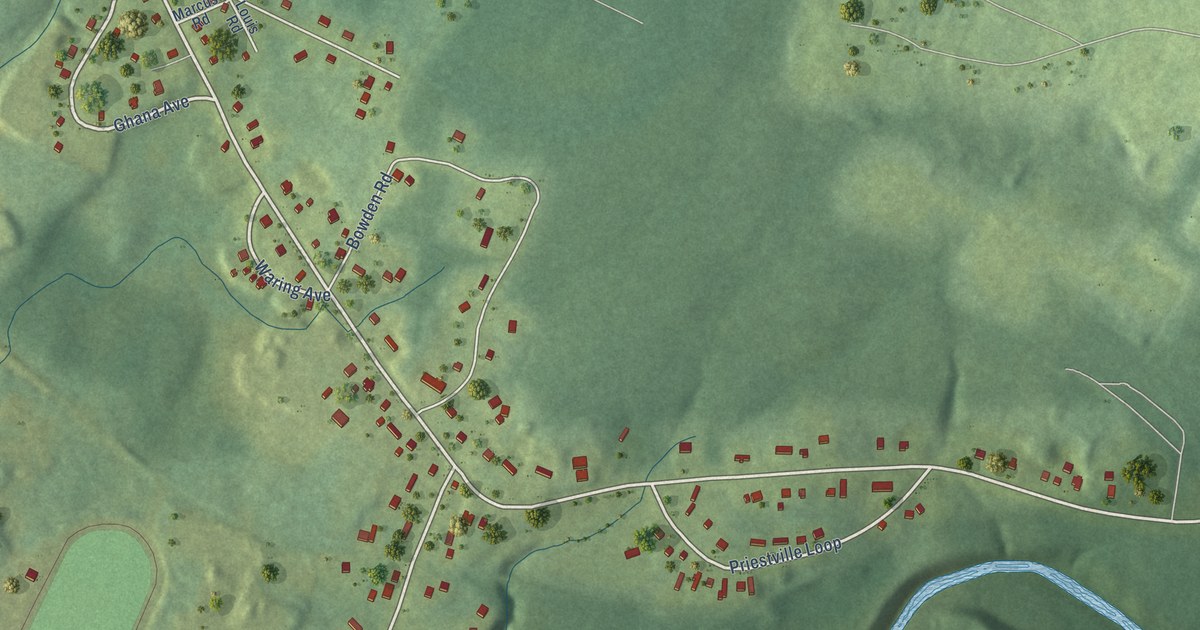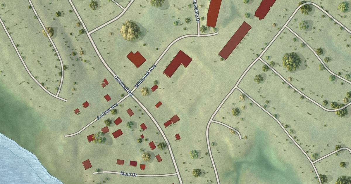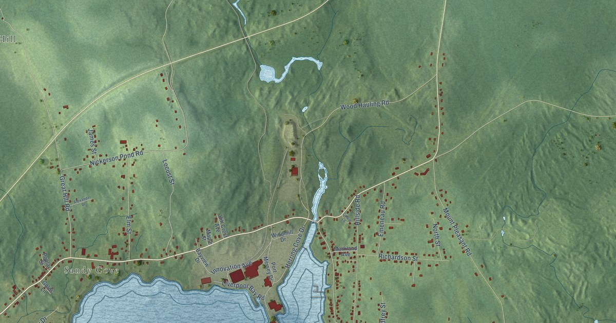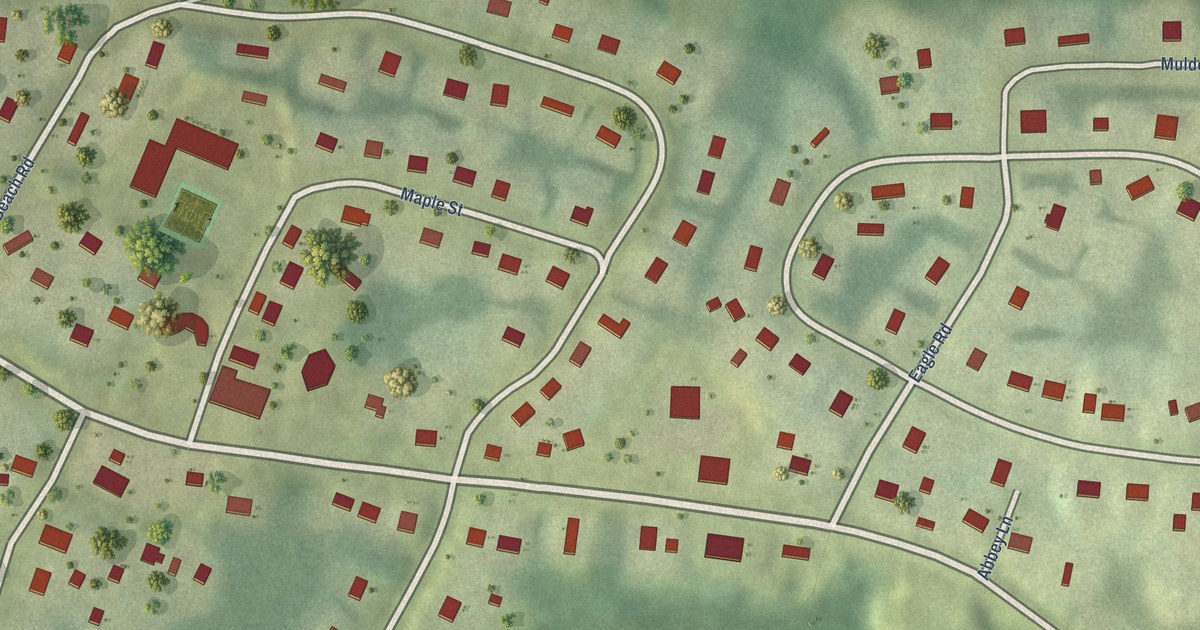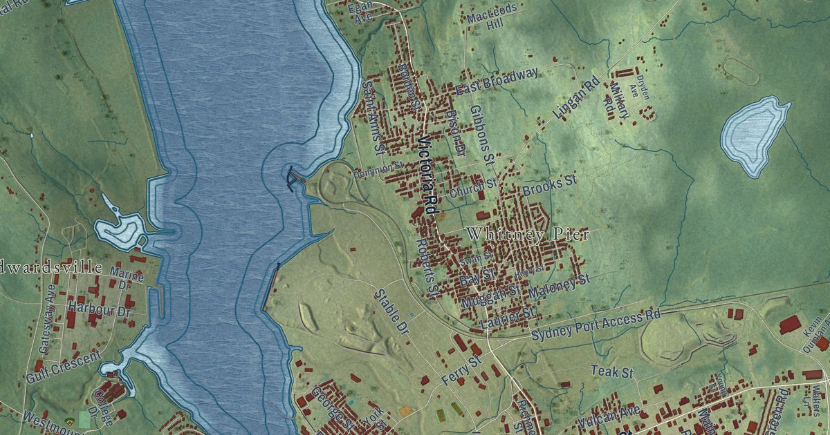
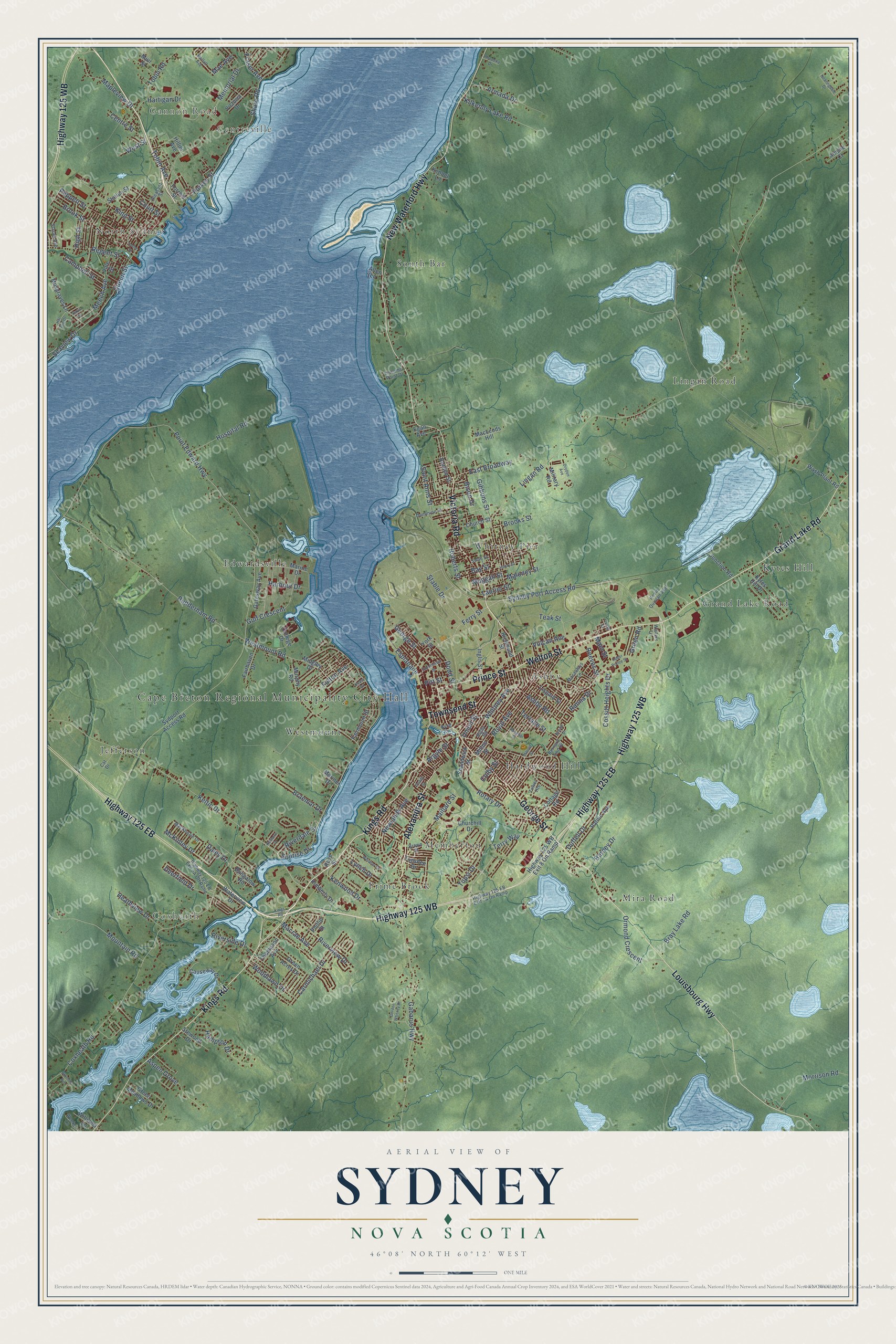
This beautifully detailed map of Sydney, Nova Scotia was created in 2026 using aerial imagery combined with modern topographical, census, street and landmark data. It’s a one-of-a-kind view of Sydney that combines accurate data with a vintage aesthetic. The map shows every building in its true location, many of the roads carry their names, and the shaded topographic relief shows the shape of the land.
Explore an aerial view of Sydney, Nova Scotia
On the map you’ll find Cape Breton Regional Municipality City Hall, Centreville, North Sydney, Coxheath, Whitney Pier, Prime Brook, Jefferson, and Edwardsville, along with Gannon Road, Grand Lake Road, Lingan Road, Mira Road, and more. If you look closely you can even find your house accurately drawn in its correct location. Zoom in on the preview to look for yours.
Take a closer look at the Sydney map
Names on this map
These names are printed on this map.
Places: Cape Breton Regional Municipality City Hall, Gannon Road, Centreville, North Sydney, Coxheath, Grand Lake Road, Lingan Road, Mira Road, Whitney Pier, Prime Brook, Jefferson, Edwardsville, South Bar, Ashby, Westmount, Membertou, Kytes Hill and Hardwood Hill.
Streets and roads: Kings Road, George Street, Townsend Street, Victoria Road, Welton Street, Prince Street, Alexandra Street, Highway 125 WB, Louisbourg Highway, New Waterford Highway, Highway 125 EB, Keltic Drive.
More street names, A to Z
Ainslie Court, Allen Lane, Argyle Street, Armada Drive, Ashby Road, Aspen Grove, Barney Drive, Bay Street, Bernard Lind Drive, Bison Drive, Borden Street, Braemar Drive, Bray Lake Road, Bristol Drive, Bromley Avenue, Brooks Street, Brook Street, Brown Street, Bungalow Road, Byng Avenue, Campbell Street, Carmichael Drive, Cat Drive, Causeway Drive, Centre Street, Churchill Drive, Church Street, Coady Street, Colby Street, College Drive, Cossitt Heights Drive, Cottage Road, Court Street, Coxheath Road, Daley Drive, Davis Street, Deerfield Drive, Dodd Street, Dominion Street, Dorchester Street, Dryden Avenue, Duffell Drive, East Broadway, Egan Avenue, Esplanade, Fairhaven Drive, Fairmount Street, Ferry Street, Forrest Street, Fraser Avenue, Fulton Avenue, Gabarus Highway, Gatesway Avenue, Gibbons Street, Gordon Whitney Drive, Green Acres Drive, Green Meadows Drive, Green Road, Gulf Crescent, Hampton Drive, Harbour Drive, Harold Street, Hartigan Drive, Heathview Drive, Henry Street, High Street, Highway 125 WB Exit 8 On Ramp, Hillier Avenue, Hill Top Drive, Hospital Road, Hospital Street, Inglis Street, Junction Road, Keats Drive, Kelmere Drive, Kennel Lane, Kenwood Drive, Kevin Quinlan Avenue, Kilkenny Lake Road, Kimberly Drive, King Street, Kytes Hill Drive, Laurier Street, Liscomb Point Drive, Lisgard Street, Lorne Street, Lynch Drive, Macaulays Lane, MacKenzie Drive, MacLeods Hill, Macrae Avenue, Mae Avenue, Maillard Street, Main Street, Maloney Street, Mapleview Drive, Marine Drive, Mariner Drive, McKinley Drive, Meech Avenue, Memorial Drive, Midgley Drive, Military Road, Milton Street, Moffatt Avenue, Morrison Road, Mountain Road, Muggah Street, Muir Street, Murphy Road, Musgraves Lane, Nearingdale Drive, Newlands Avenue, Ormond Crescent, Patnic Avenue, Peppett Street, Phillip Street, Pitt Street, Pleasant Street, Point Edward Highway, Purves Street, Queen Street, Ranna Drive, Reeves Street, Regent Street, Rhodena Drive, Richmond Street, Rigby Road, Riverdale Drive, Riverside Drive, Riverview Drive, Roberts Street, Rose Street, Rotary Drive, Royal Avenue, Rudderham Road, Saint Anns Street, Seaview Drive, Shandwick Street, Shore Road, Stable Drive, Stacey Avenue, Station Street, Stewood Drive, Sunrise Drive, Swan Street, Sydney Port Access Road, Sydport Access Road, Teak Street, Terrace Street, Terry Way, Thompson Avenue, Tobin Avenue, Tobin Road, Topshee Drive, Tower Heights, Tupsi Drive, Union Street, Upper Prince Street, Vale Street, Victoria Drive, Vulcan Avenue, Walters Lane, Wash Plant Road, Waterview Drive, Weeks Lane, Weidner Drive, Westmount Road, West Street, Whitney Avenue, Williams Lane, Woodlawn Drive, York Street, Young Street.
See it on a wall
The Sydney map as an 18 x 24 inch print in a black frame.

This beautifully detailed map of Sydney makes an attractive addition to your office, library, or den, and it can even be used to teach children the geography and history of the area. It also makes a great gift for someone who left Sydney and still calls it home. When you’re done exploring, click here to get your copy of the Sydney map.