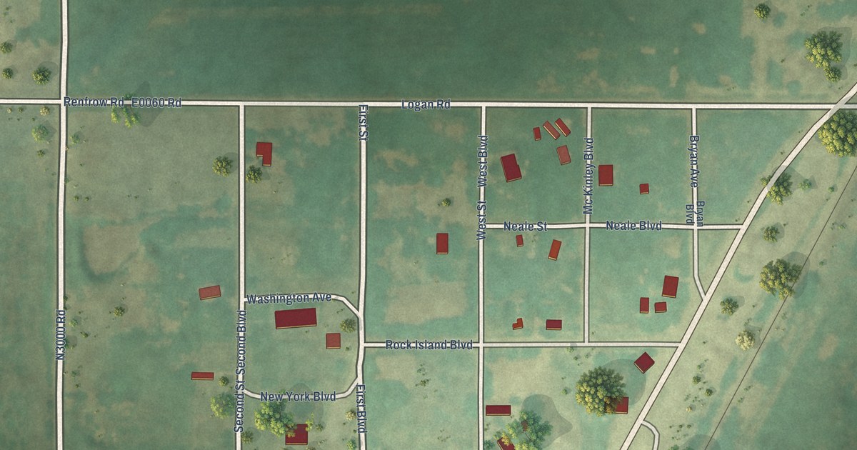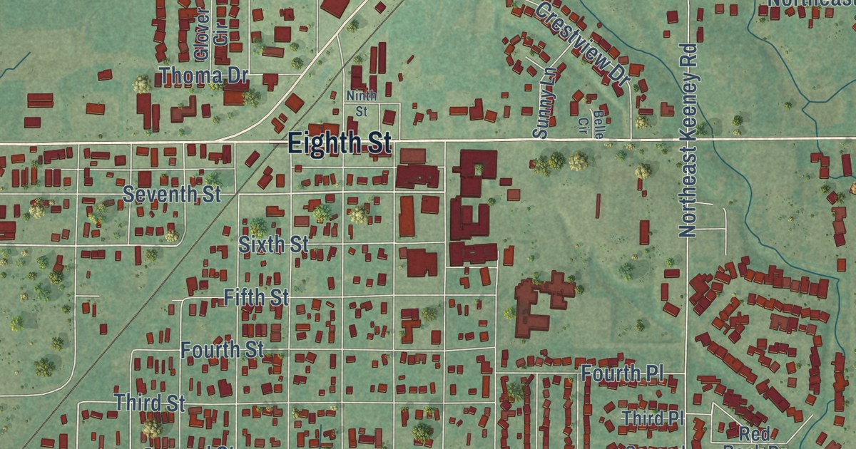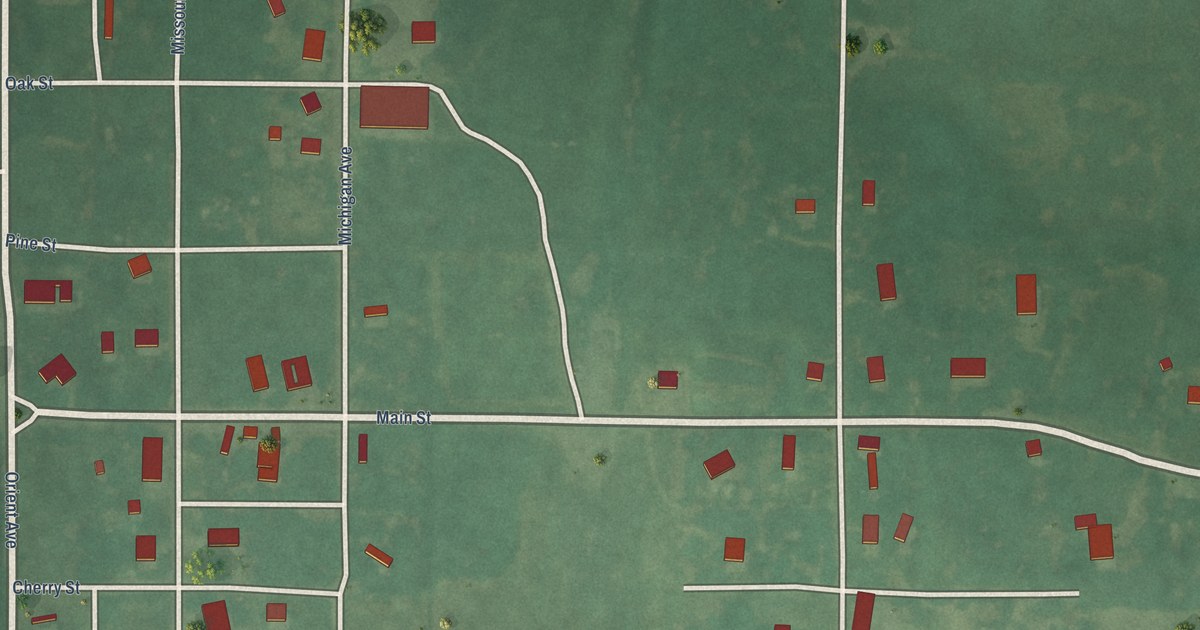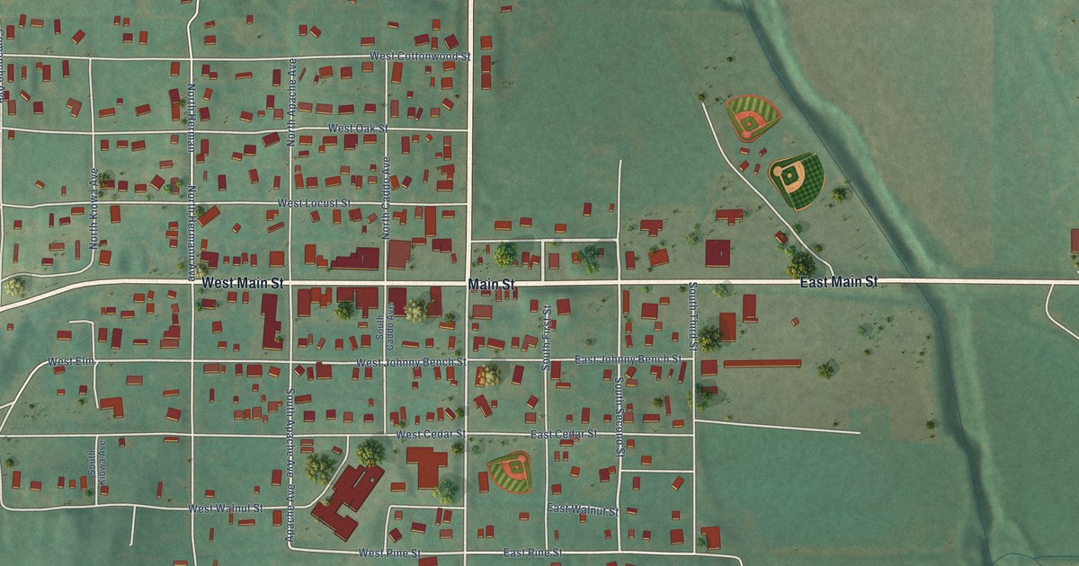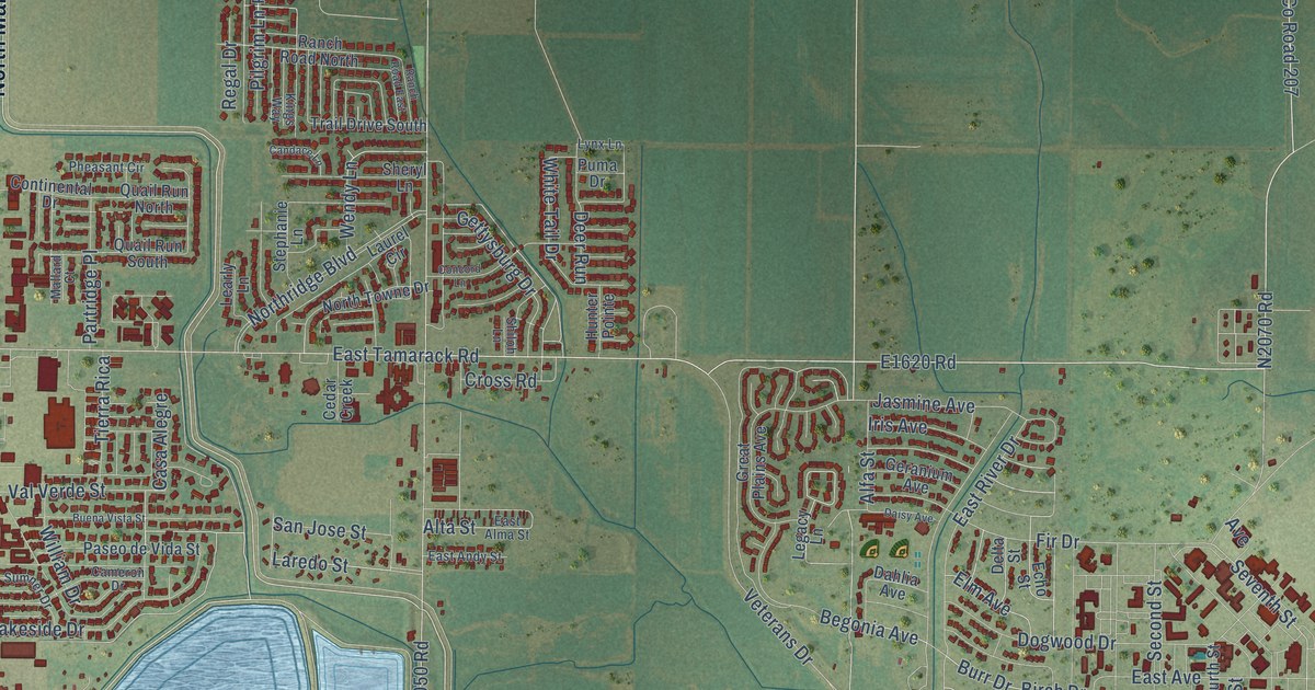
This beautifully detailed map of Altus, Oklahoma was created in 2026 using aerial imagery combined with modern topographical, census, street and landmark data. It’s a one-of-a-kind view of Altus that combines accurate data with a vintage aesthetic. The map shows every building in its true location, many of the roads carry their names, and the shaded topographic relief shows the shape of the land.
Explore an aerial view of Altus, Oklahoma
On the map you’ll find Welon and Altus Cemetery, along with East Broadway Street, West Broadway Street, South Main Street, North Main Street, E1620 Road, East Tamarack Road, West Tamarack Road, North Spurgeon Street, North Jackson Street, South Spurgeon Street, and more. If you look closely you can even find your house accurately drawn in its correct location. Zoom in on the preview to look for yours.
Did you know this piece of Altus, Oklahoma history?
From the Oklahoma Historical Society: "Altus was originally known as Frazer, a small settlement of approximately fifty people located on Bitter Creek. Cowboys often stopped for cold buttermilk at the John McClearan dugout, and Frazer became known locally as Buttermilk Station."
Altus is a city in Jackson County.
Take a closer look at the Altus map
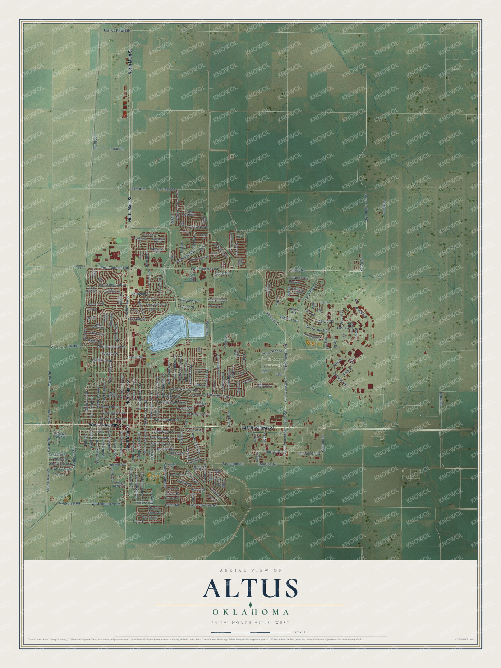
Street and place names on the Altus, Oklahoma map
These names are printed on the map of Altus, Oklahoma.
Places: Welon and Altus Cemetery.
Streets and roads: East Broadway Street, West Broadway Street, South Main Street, North Main Street, East Tamarack Road, West Tamarack Road, North Spurgeon Street, North Jackson Street, South Spurgeon Street, South Lee Street, North Lee Street, North Willard Street.
More street names, A to Z
13th, 15th, 16th, Adams Street, Alfa Street, Alta Street, Altus Road, Asalee Street, Ash Street, Avenue, Baker Street, Begonia Avenue, Belle Street, Birch Avenue, Birch Drive, Box Street, Buena Vista Street, Bulldog Lane, Burns Street, Burr Drive, Cambridge Drive, Cameron Drive, Candace Lane, Canterbury Boulevard, Carver Road, Casa Alegre, Cedar Creek, Chris Avenue, Cleveland Street, Coe Street, Concord Lane, Continental Drive, Corbin Avenue, Cross Road, Dahlia Avenue, Daisy Avenue, Debby Street, Deer Run, Delta Street, Denise Street, Dickerson Lane, Dill Street, Dogwood Drive, East Alma Street, East Andy Street, East Asphalt Street, East Avenue, East Chestnut Street, East Commerce Street, East County Road 159, East Cypress Street, East Elder Avenue, East Elm Street, Eastern, East Katy Drive, East Liveoak Street, East Morgan Avenue, East Nona Street, East Pecan Street, East Ridgecrest Road, East River Drive, East San Ann Drive, Eastside Drive, East Spruce Street, East Sutherland Avenue, East Sycamore Avenue, East Walnut Street, Echo Street, Eighth Street, Elk Street, Elm Avenue, Ethel Street, Falcon Road, Fifth Street, Fir Drive, First Street, Fourth, Fourth Street, Galaxy Drive, George Street, Geranium Avenue, Gettysburg Drive, Grant Avenue, Great Plains Avenue, Hayes Street, Hazel Street, Heritage Road, Hickory Street, Horizon Drive, Hunter Pointe, Industrial Boulevard, Industrial Drive, Industrial Road, Inis Street, Iris Avenue, Jasmine Avenue, Karen Drive, Kathy Avenue, Kings Way, Lakeside Drive, Laredo Street, Laurel Circle, Learly Lane, Lee Drive, Lee Ora Street, Legacy Lane, Leger Mills, Libra Street, Loyadell Street, Lynx Lane, Mallard Court, Market Road, Mars Street, Mercury Street, Metric Lane, Navajoe Road, Newlin Drive, Ninth Street, North Allen Street, North Benson Street, North Blain Street, North Chalmers Street, North Crain Drive, North Crain Street, North Flamingo Lane, North Forrest Street, North Grady Street, North Hightower Street, North Howse Street, North Hudson Street, North Julian Street, North Jullian Street, North Kellwood Street, North Mockingbird Drive, North Navajoe Street, North Park Avenue, North Park Lane, Northridge Boulevard, North Robin Street, North Thomas Street, North Towne Drive, North Veterans Drive, North York Street, Old Mill Road, Ordnance Road, Partridge Place, Paseo de Vida Street, Pawnee Avenue, Pheasant Circle, Pilgrim Lane, Pilgrim Way, Pine Avenue, Polk Street, Puma Drive, Quail Run North, Quail Run South, Ranch Road East, Ranch Road North, Recycle Drive, Regal Drive, Ridgecrest Road, Rosehaven Drive, Russell Avenue, San Jose Street, Saturn Street, Scott Street, Second, Second Street, Seventh Street, Sheryl Lane, Shiloh Lane, Sixth Street, South Baucum Street, South Benson Street, South Blain Street, South Carver Road, South Chalmers Street, South County Road 207, South Crain Street, South Fowler Street, South Grady Street, South Hightower Street, South Hudson Street, South Jackson Street, South Joy Street, South Kennedy Street, South Navajoe Street, South Park Lane, South Veterans Drive, South Willard Street, Springfield Drive, Stephanie Lane, Sumner Drive, Sunset Strip Street, Taft Street, Tamarack Road, Third Street, Tierra Rica, Todd Lane, Tomahawk Lane, Trail Drive South, Val Verde Street, Veterans Drive, Victory Street, Village Drive, Vine Street, Wendy Lane, West Bradford Avenue, West Commerce Street, West Cypress Street, West Davis Street, West Elm Street, West Frisco Street, West Hardy Street, West Kimberlin, West Lark Street, West Martha Street, West Mc Coy Avenue, West Oriole Drive, West Ridgecrest Road, West Sequoyah Lane, West Walnut Street, West Wingfield Street, White Tail Drive, Willard Drive, William Drive, Windsor Drive.
See the Altus, Oklahoma map on a wall
The Altus map as an 18 x 24 inch print in a black frame.

This beautifully detailed map of Altus makes an attractive addition to your office, library, or den, and it can even be used to teach children the geography and history of the area. It also makes a great gift for anyone who grew up in Altus or moved away. When you’re done exploring, click here to get your copy of the Altus map.