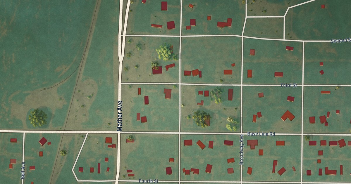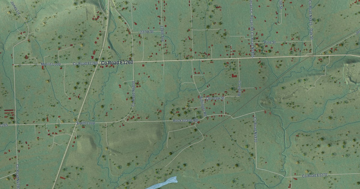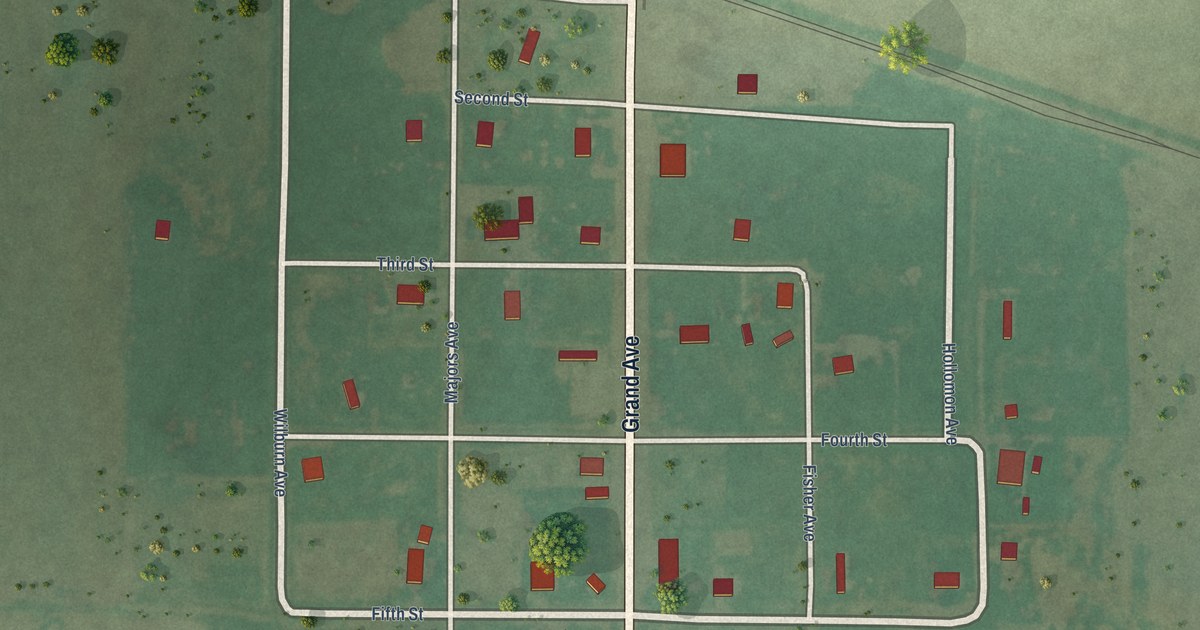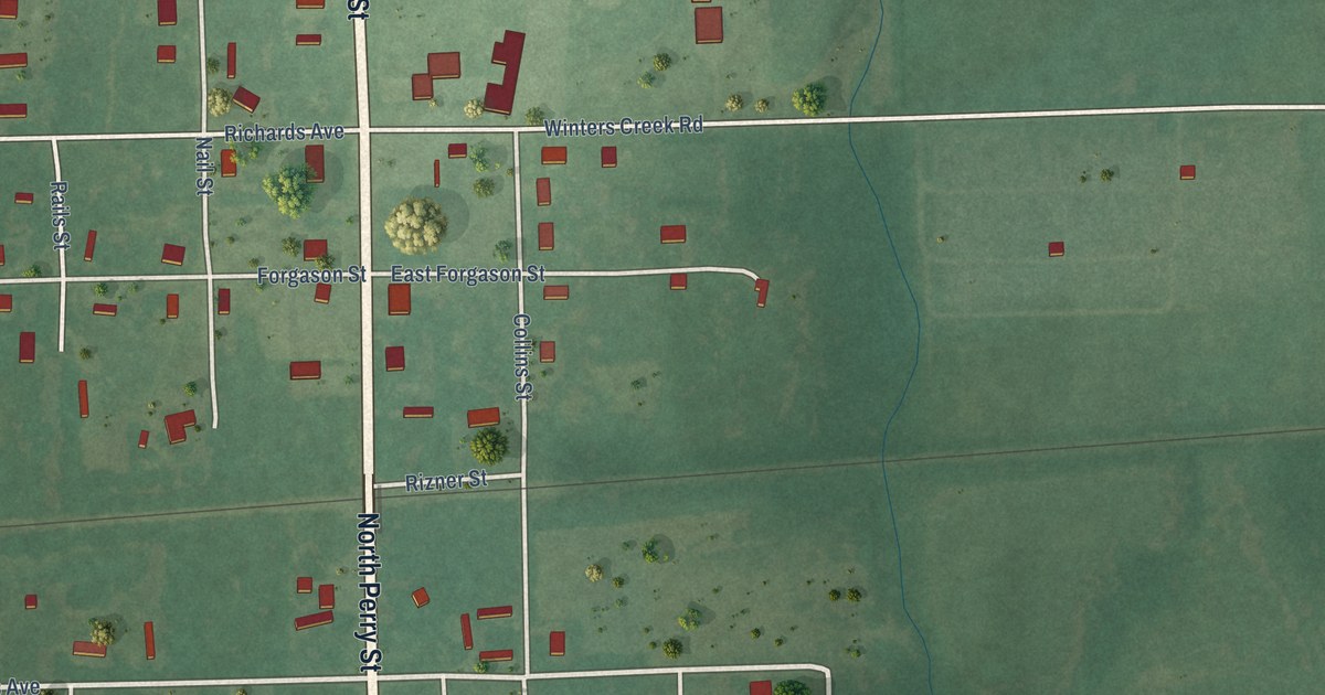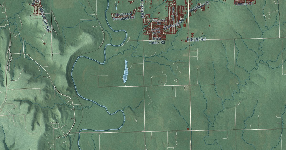
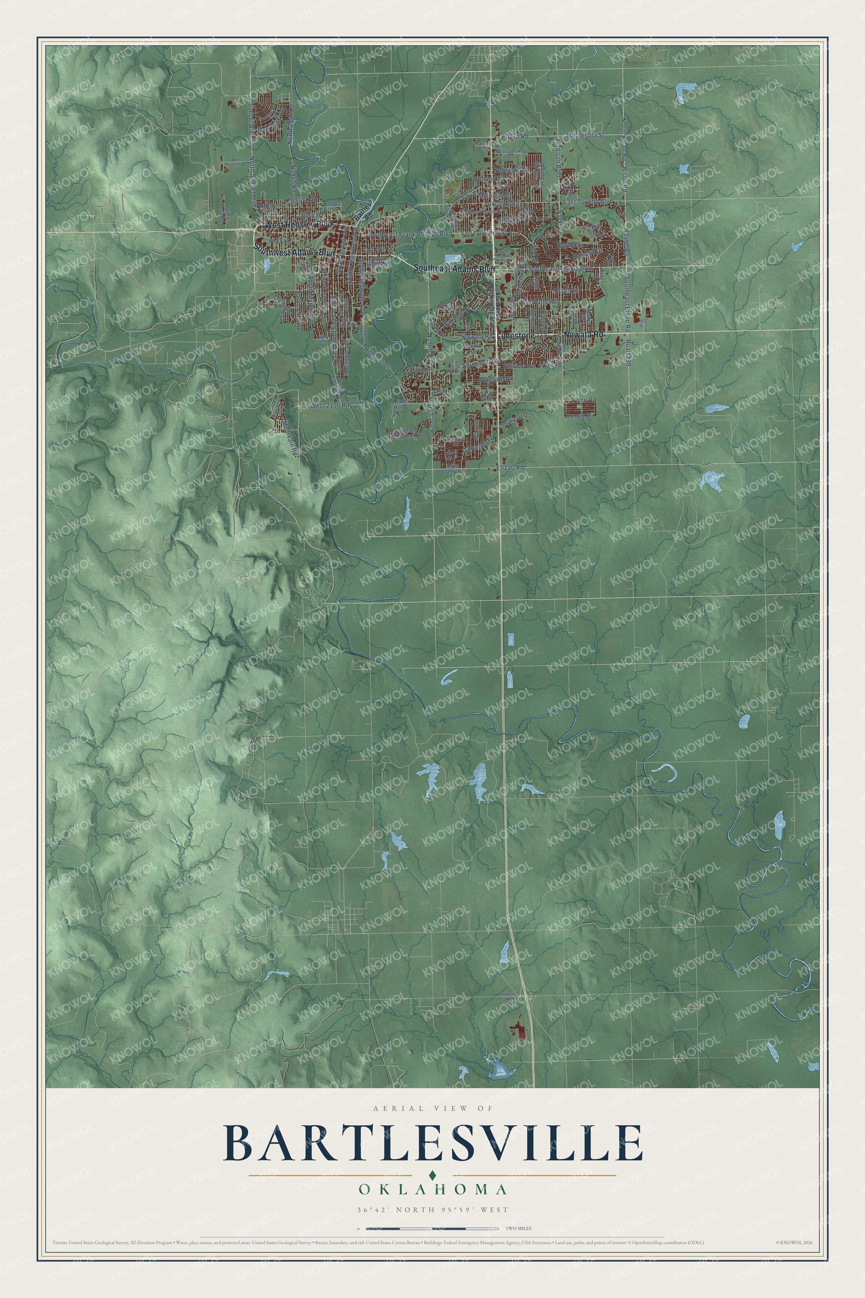
This beautifully detailed map of Bartlesville, Oklahoma was created in 2026 using aerial imagery combined with modern topographical, census, street and landmark data. It's a modern aerial view of Bartlesville in Washington County, Oklahoma, that combines modern data with a vintage aesthetic. The roads feature printed names, and if you look closely you can find your exact house accurately shown in its correct location.
Explore an aerial view of Bartlesville, Oklahoma
On this map you'll find Southeast Adams Boulevard, Limestone, Southwest Adams Boulevard, West Hensley Boulevard, Nowata Road, Bison Road, South Johnstone Avenue, Minnesota Street, Madison Boulevard, Southeast Bison Road, East Tuxedo Boulevard, South Cherokee Avenue, and more. Each red shape is a building, so zoom in on the preview and look for yours.
Every town has a first chapter, and Bartlesville is no exception. The record at okhistory.org puts it this way: "Located in west-central Washington County, the city lies near the Washington-Osage county line, forty-seven miles north of Tulsa, and is crossed by U.S. Highways 60 and 75, State Highway 123, the South Kansas and Oklahoma Railroad, and the Caney River."
Bartlesville is a city in Washington County.
Take a closer look at the Bartlesville map
Names on this map
These names are printed on this map.
Streets and roads: Southeast Adams Boulevard, Limestone, Southwest Adams Boulevard, West Hensley Boulevard, Nowata Road, Bison Road, South Johnstone Avenue, Minnesota Street, Madison Boulevard, Southeast Bison Road, East Tuxedo Boulevard, South Cherokee Avenue.
More street names, A to Z
3930 Road, Barbara Street, Barlow Drive, Barnett Avenue, Bartles Road, Baylor Drive, Beck Drive, Brookline Drive, Burch Avenue, Camelot Drive, Carol Road, Castle Road, Chapel Hill Road, Cherokee Hills Drive, Colorado Avenue, Cooper Court, Cudahy Street, Dewey Place, East 18th Street, East Drive, East Eighth Street, East Fifth Street, East Frank Phillips Boulevard, Fairview Road, Harned Drive, Harvard Drive, Hazel Road, Herrick Street, Hillcrest Drive, Hill Drive, Indiana Street, Industrial Boulevard, Interurban Drive, Jack Lane, Kane Hill Drive, Kansas Lane, Kings Drive, Lariat Drive, Lee Drive, Lincoln Road, Lupa Street, Manor Drive, May Lane, Melmart Drive, Melody Lane, Michigan Street, Montrose Drive, Mountain Drive, Mountain Road, Nebraska Street, North 3940 Road, North 3946 Road, North Bison Road, Northeast Spruce Avenue, North Sunset Boulevard, Northwest Lupa Street, Nova Avenue, Nowata Place, Oak Avenue, Oakdale Drive, Oak Park Road, Ohio Street, Park Hill Drive, Price Road, Quail Ridge Road, Regency Road, Rice Creek Road, Road 399, Robin Avenue, Shawnee Avenue, Silver Lake Road, Skyline Drive, Sooner Road, South Dewey Avenue, Southeast Adams Road, Southeast Frank Phillips Boulevard, Southeast Greystone Avenue, Southeast Hampden Road, Southeast Kentucky Street, Southeast Washington Boulevard, South Elm Avenue, South Fenway Place, South Madison Boulevard, South Maple Avenue, South Osage Avenue, Southport Drive, South Shawnee Avenue, Southview Avenue, Southwest Jennings Avenue, State Street, Stonewall Drive, Sunset Boulevard, Swan Drive, Turtle Creek, Tuxedo Boulevard, Vista Drive, Wayside Drive, West 20th Street, West 2100 Road, West 3000 Road, West Fifth Street, Wiley Post Road, Will Rogers Drive, Wisconsin Street, Woodland Road, Yale Drive, Young Avenue.
Created by KNOWOL in 2026. The buildings are small red shapes, the roads carry their printed names, and shaded relief shows the shape of the land. The title panel reads "AERIAL VIEW OF BARTLESVILLE OKLAHOMA" with 36°42' NORTH 95°59' WEST.
Hang it in the hallway, the office or the cabin, or give it to someone who left Bartlesville and still calls it home. Open the preview and look for a street you know. See sizes and frames for the Bartlesville map.