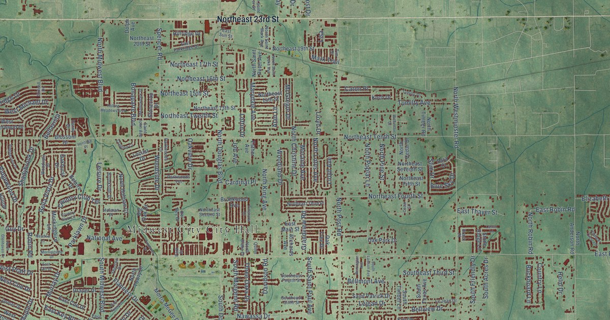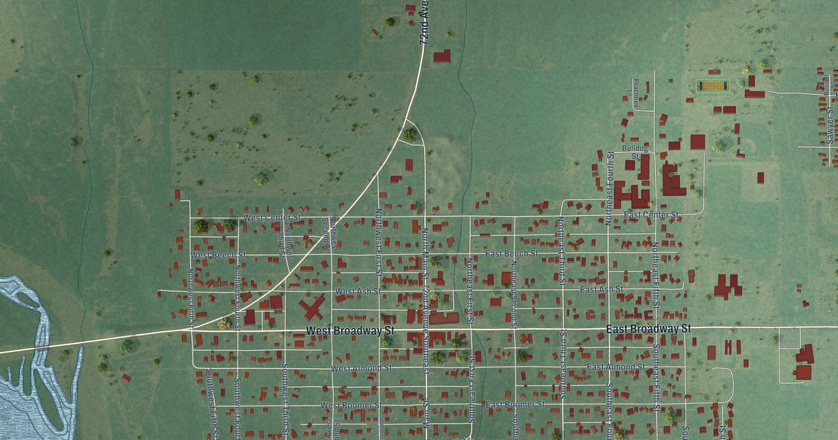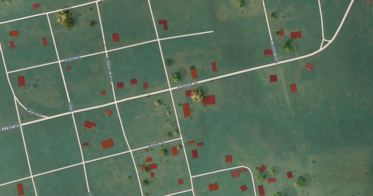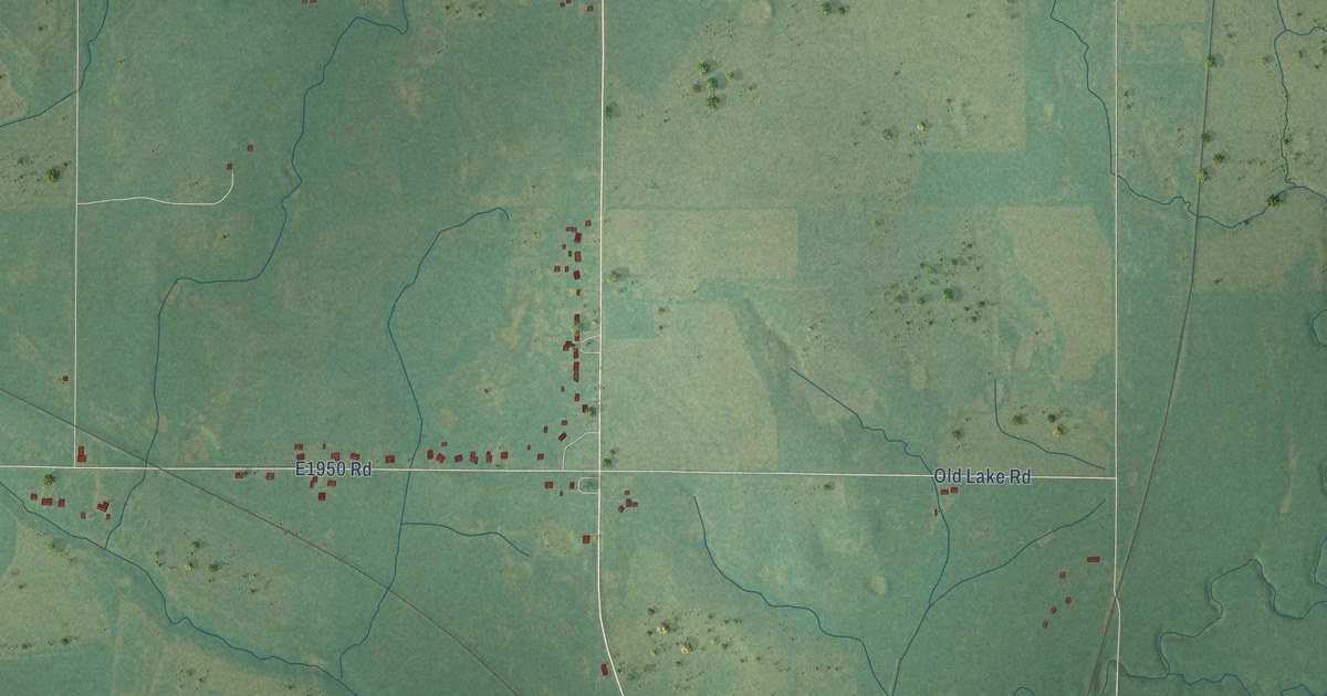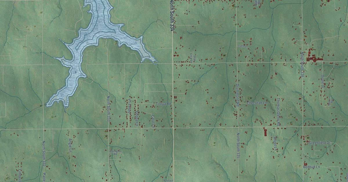
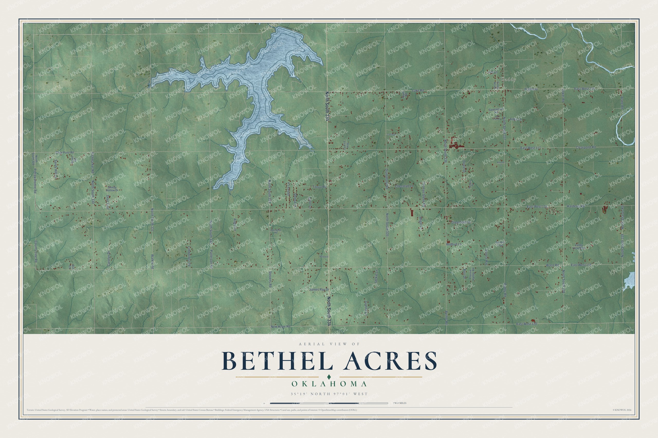
This beautifully detailed map of Bethel Acres, Oklahoma was created in 2026 using aerial imagery combined with modern topographical, census, street and landmark data. It's a modern aerial view of Bethel Acres in Pottawatomie County, Oklahoma, that combines modern data with a vintage aesthetic. The roads feature printed names, and if you look closely you can find your exact house accurately shown in its correct location.
Explore an aerial view of Bethel Acres, Oklahoma
On this map you'll find Gaddy, North South 334, Coker Road, Pottawatomie Road, East West 120, New Hope Road, North South 330, Doyle Drive, East West 118, Hardesty Road, East West 119, Waco Road, and more. Each red shape is a building, so zoom in on the preview and look for yours.
Bethel Acres has a story worth telling. The record at okhistory.org puts it this way: "In October 1978 residents had a newly constructed community building and fire station that housed six fire trucks."
Bethel Acres is a town in Pottawatomie County.
Take a closer look at the Bethel Acres map
Names on this map
These names are printed on this map.
Places: Gaddy.
Streets and roads: North South 334, Coker Road, Pottawatomie Road, East West 120, New Hope Road, North South 330, Doyle Drive, East West 118, Hardesty Road, East West 119, Waco Road, Clearpond Road.
More street names, A to Z
Acme Road, Alma Lane, Angel Lane, Angie Lane, Apple Road, Barnard Lane, Bethel Road, Boats Road, Burr Drive, Carol Lane, Carolyn Drive, Checotah Lane, Clear Pond Road, Coffman, County Line Road, Deer Trail, Dirt Lane, Donna Lane, Drummond Road, East West 116, East West 117, Fishmarket Road, Flossie Hattler Road, Frosty Acres, Gaddy Road, Geneva Way, Greenfield Drive, Highland, Jackie Lane, Jade Lane, James Ray Drive, Janice Lane, Juanita Lane, Lake Road, Limberlost Road, North Sharon Road, North South 329, North South 331, North South 332, North South 333, North South 335, North South 336, North South 337, North South 338, North South 339, Patterson Road, Raymond Road, Redbud Lane, Red Plum Road, Sandy Hill Lane, Sleepy Hollow Drive, Springhill Road, Star Lisa Lane, Stevens Road, Sunset Trail, Sweetwood Road, Thomas Glenn Road, Tonya Road, Valley View Boulevard, Walker Road, Whipowill.
Created by KNOWOL in 2026. The buildings are small red shapes, the roads carry their printed names, and shaded relief shows the shape of the land. The title panel reads "AERIAL VIEW OF BETHEL ACRES OKLAHOMA" with 35°19' NORTH 97°01' WEST.
It looks right in a kitchen, an office or a den, and it's a gift for anyone who grew up in Bethel Acres or moved away. Open the preview and find your street. See sizes and frames for the Bethel Acres map.