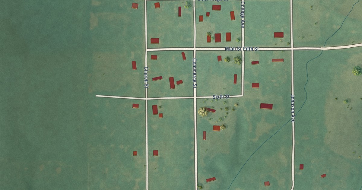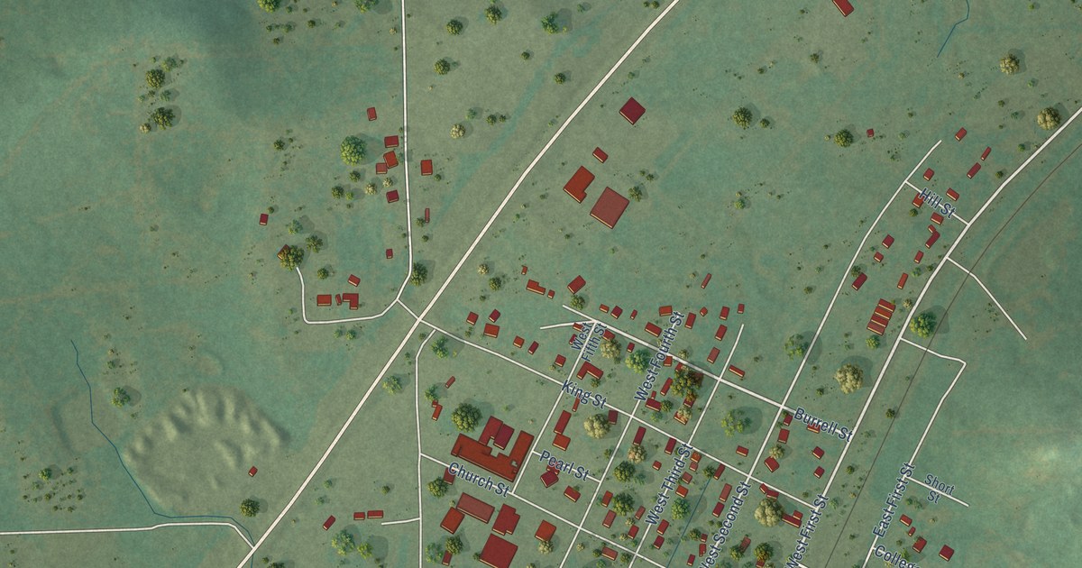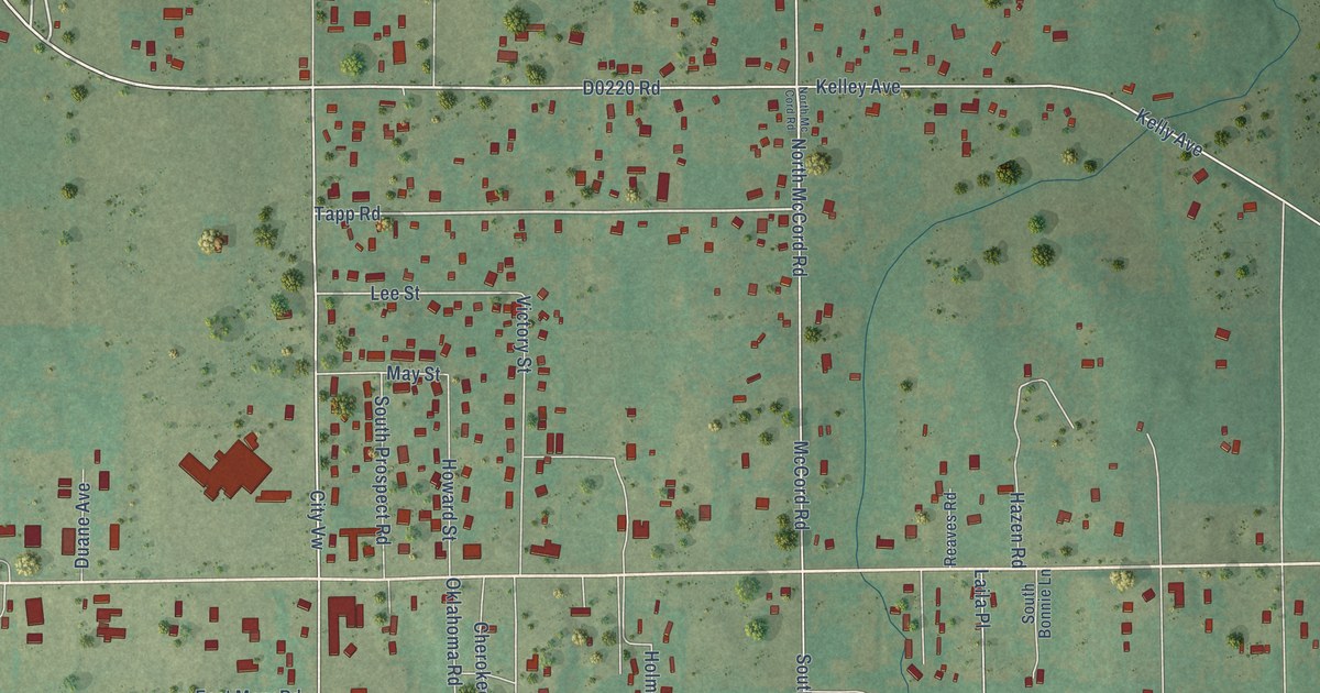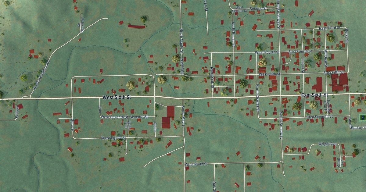
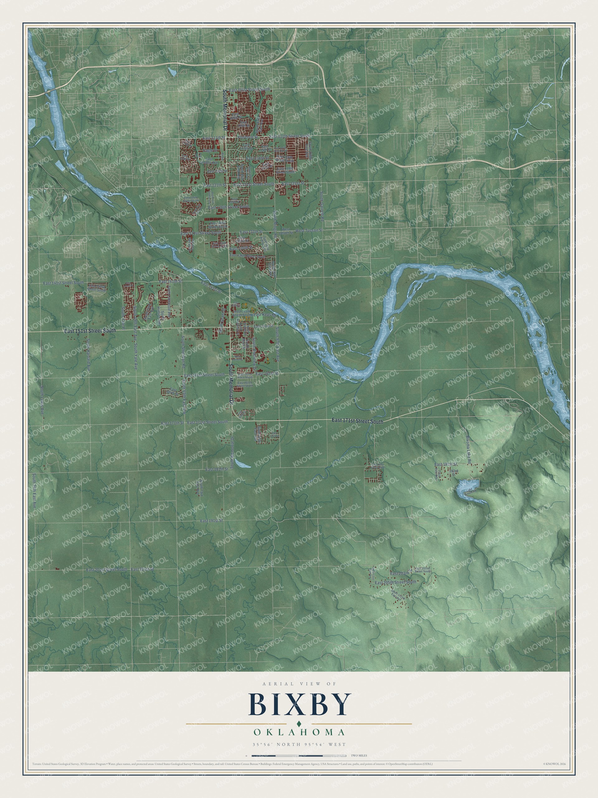
This beautifully detailed map of Bixby, Oklahoma was created in 2026 using aerial imagery combined with modern topographical, census, street and landmark data. It’s a one-of-a-kind view of Bixby that combines accurate data with a vintage aesthetic. The map shows every building in its true location, many of the roads carry their names, and the shaded topographic relief shows the shape of the land.
Explore an aerial view of Bixby, Oklahoma
On the map you’ll find East 171st Street South, South Memorial Drive, East 151st Street South, East 111th Street, East 131th Street, Bixoma Lake Road, East 101st Street South, Florence Street, South Sheridan Road, East 141th Street, East 111th Street South, East 121th Street, and more. If you look closely you can even find your house accurately drawn in its correct location. Zoom in on the preview to look for yours.
Did you know this piece of Bixby, Oklahoma history?
From Okhistory.org: "The Midland Valley Townsite Company purchased and platted eighty acres on either side of the railroad and north of the government town's eighty acres by mid-1905."
Bixby is a city in Tulsa County.
Take a closer look at the Bixby map
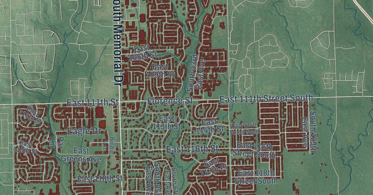
Street names on the Bixby, Oklahoma map
These names are printed on the map of Bixby, Oklahoma.
Streets and roads: East 171st Street South, South Memorial Drive, East 151st Street South, East 111th Street, East 131th Street, Bixoma Lake Road, East 101st Street South, Florence Street, South Sheridan Road, East 141th Street, East 111th Street South, East 121th Street.
More street names, A to Z
154th East Avenue, 183rd Street, Birdie Lane, Eagle Drive, East 106th Street, East 109th Street, East 112th Street, East 113th Street, East 114th Street, East 114th Street South, East 115th Street, East 116th Street, East 116th Street South, East 117th Place, East 118th Street, East 118th Street South, East 121st Street, East 121st Street South, East 124th Street, East 124th Street South, East 126th Street South, East 129th Street South, East 131st Street South, East 132nd Street, East 134th Street, East 134th Street South, East 136th Street South, East 141st Street, East 141st Street South, East 141th Place, East 143rd Street South, East 146th Street, East 148th Street South, East 151st Street, East 161st Place South, East 161st Street, East 161st Street South, East 163rd Street South, East 164th Street, East 169th Street, East 171th Street, East 174th Street, East 181st Street, East 181st Street South, East 181th Street, East 191st Street, East 201st Street, East 201st Street South, East 202nd Street South, East 203rd Street, East 205th Street South, East Greens Avenue, East Keas Road, Lake Bixom Road, North Armstrong Street, North Grant Street, North Stanley Street, Par Lane, South 24th East Avenue, South 49th East Avenue, South 53rd East Avenue, South 65th East Avenue, South 68th East Avenue, South 71st East Avenue, South 73rd East Avenue, South 74th Avenue East, South 85th East Avenue, South 87th East Avenue, South 89th East Avenue, South 93rd Avenue East, South 93rd East Avenue, South 95th East Avenue, South 97th East Avenue, South 109th East Avenue, South 131st East Avenue, South 142nd East Avenue, South Garnett Road, South Harvard Avenue, South Hudson Avenue, South Lakewood Avenue, South Lewis Avenue, South Main Street, South Mingo Road, South Riverview Drive, South Yale Avenue, South Yale Place, West Jasper Street, West Rachel Street, West Tucson Street.
See the Bixby, Oklahoma map on a wall
The Bixby map as an 18 x 24 inch print in a black frame.

This beautifully detailed map of Bixby makes an attractive addition to your office, library, or den, and it can even be used to teach children the geography and history of the area. It also makes a great gift for anyone who grew up in Bixby or moved away. When you’re done exploring, click here to get your copy of the Bixby map.