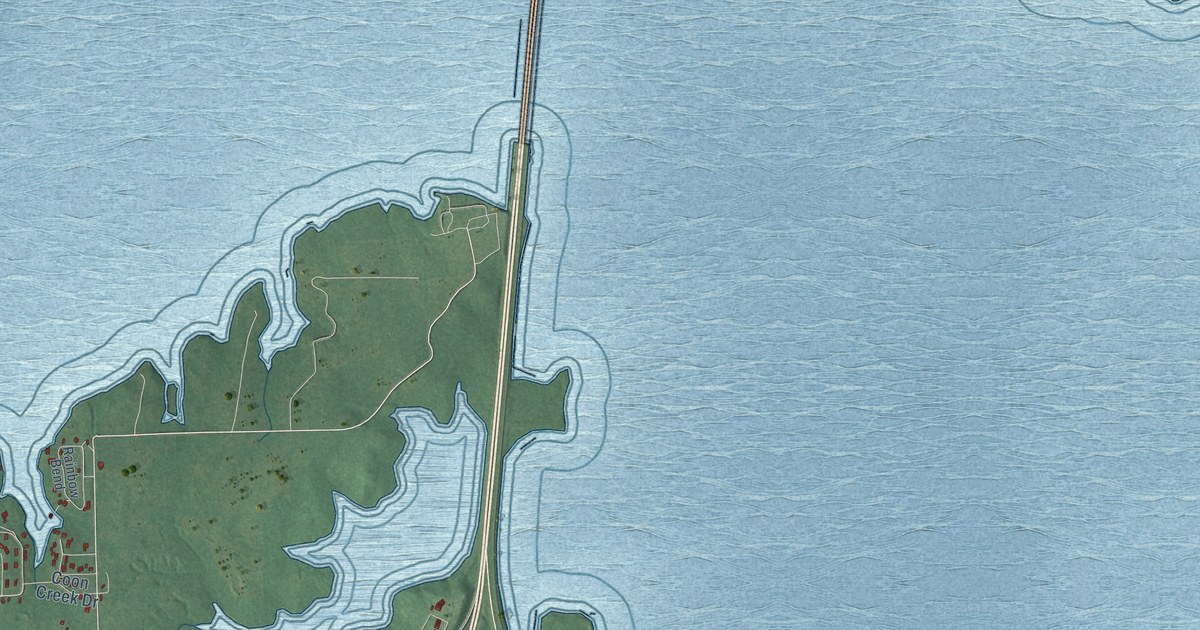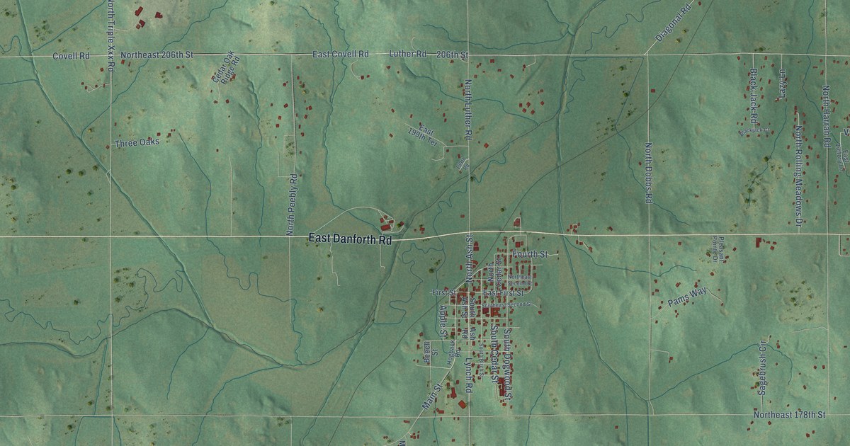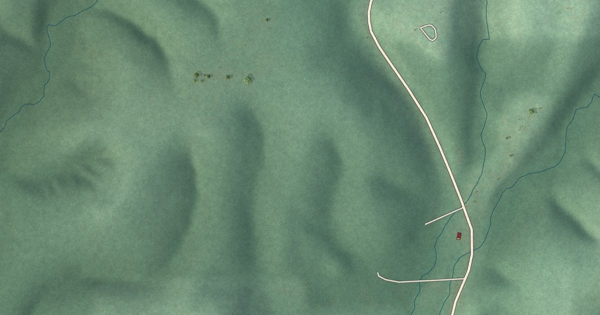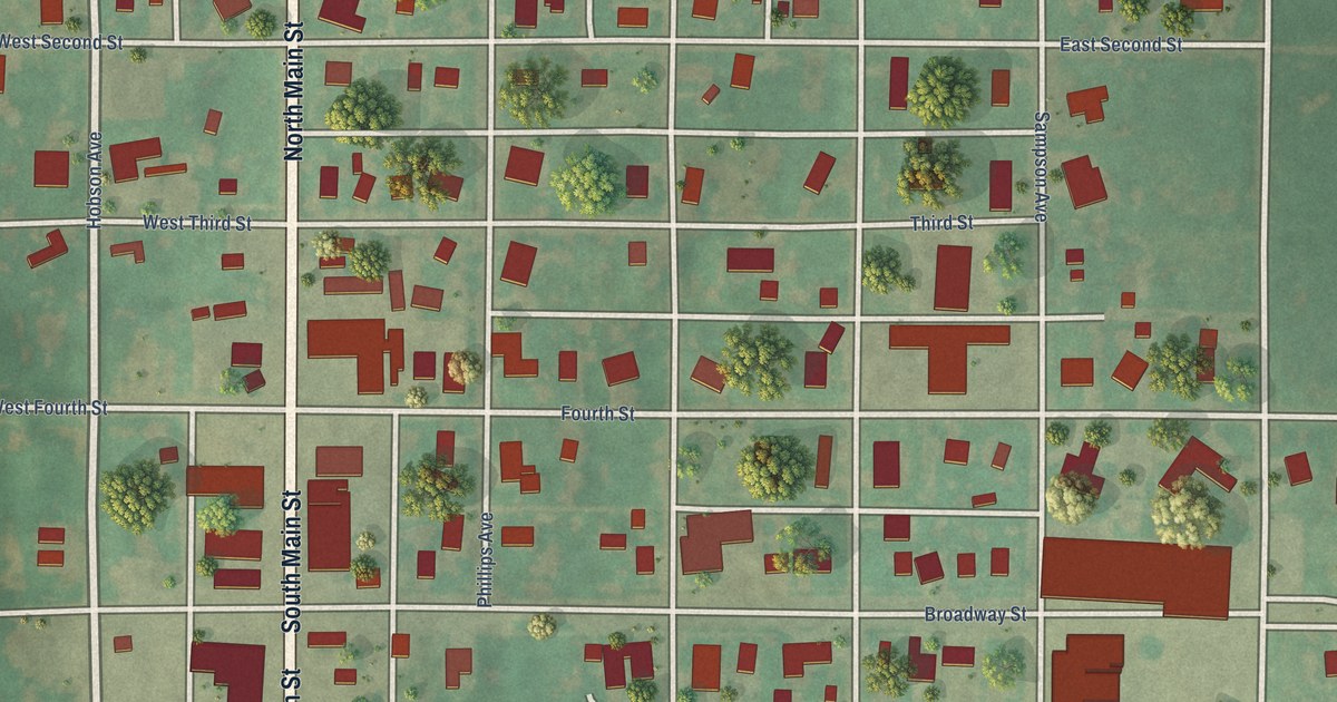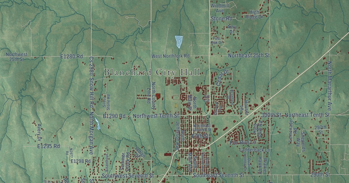
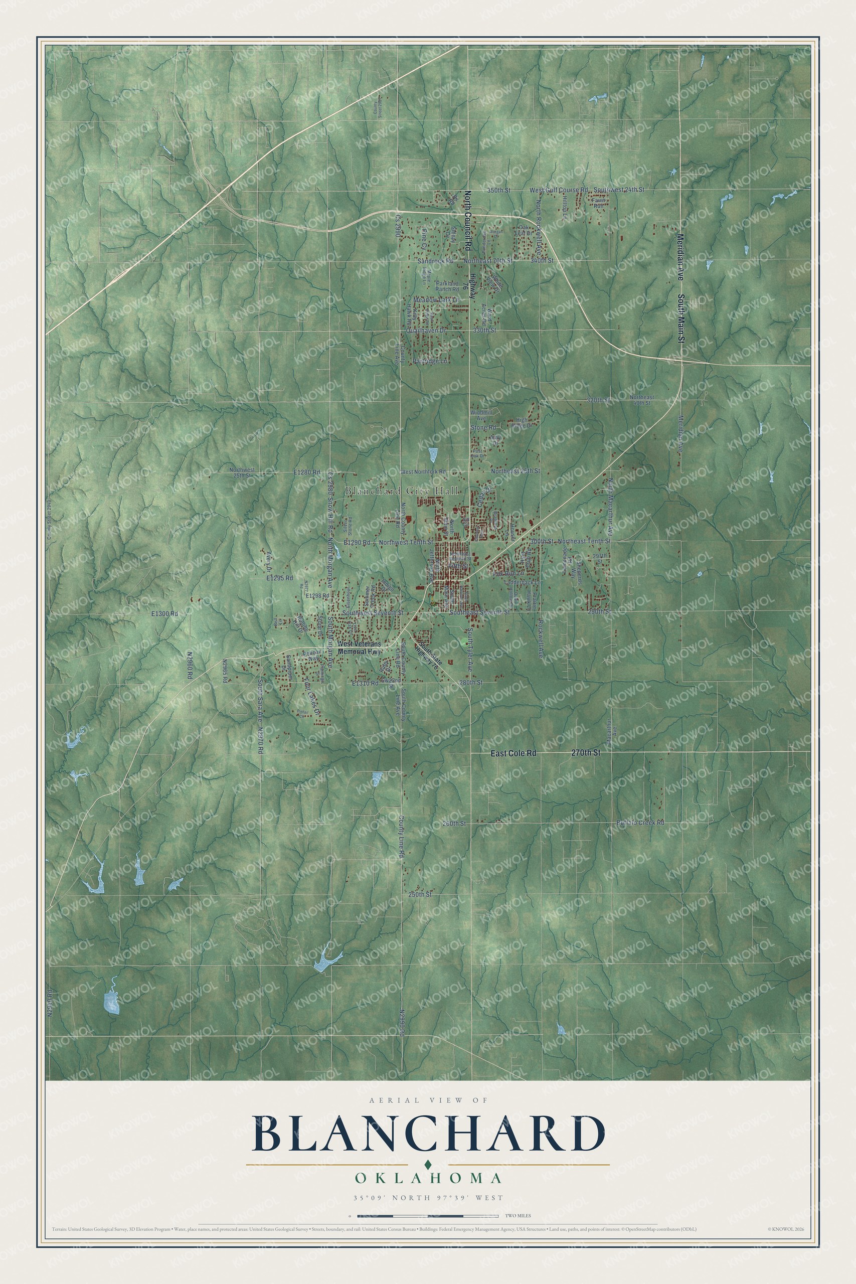
This beautifully detailed map of Blanchard, Oklahoma was created in 2026 using aerial imagery combined with modern topographical, census, street and landmark data. It's a modern aerial view of Blanchard in McClain County, Oklahoma, that combines modern data with a vintage aesthetic. The roads feature printed names, and if you look closely you can find your exact house accurately shown in its correct location.
Explore an aerial view of Blanchard, Oklahoma
On this map you'll find Blanchard City Hall, South Main Street, Meridian Avenue, North Council Road, East Cole Road, 270th Street, Southwest Seventh Street, Northwest Tenth Street, E1290 Road, Cs 2980, North Morgan Avenue, County Line Road, and more. Each red shape is a building, so zoom in on the preview and look for yours.
Blanchard has a story worth telling. The record at okhistory.org puts it this way: "However, the company went into bankruptcy, and the railroad came under the control of the Oklahoma Central Railroad, which also experienced financial problems."
Blanchard is a city in McClain County.
Take a closer look at the Blanchard map
Names on this map
These names are printed on this map.
Places: Blanchard City Hall.
Streets and roads: South Main Street, Meridian Avenue, North Council Road, East Cole Road, 270th Street, Southwest Seventh Street, Northwest Tenth Street, Cs 2980, North Morgan Avenue, County Line Road, Cs 2990, Sandrock Road.
More street names, A to Z
250th Street, 260th Street, 280th Street, 290th Street, 297th Street, 300th Street, 320th Street, 330th Street, 340th Street, 350th Street, Amy Drive, Avery Drive, Bell Lane, Bradford Place, Buffalo Creek Road, Cedar Drive, Choctaw Trail, County Line Avenue, County Street 2940, County Street 2987, Eisenhour, Fawn Run, Fifth Street, Flamingo Drive, Four Lakes Drive, Fox Run Lane, High Ridge Drive, Highway 76, Hilltop Lane, Houser Lane, Hunt Club Road, Indigo Drive, Kitty Hawk Road, Ladderback Lane, Lemonade Road, Live Oak Lane, Macarthur Avenue, Maple Ridge Lane, Meadow Lark Lane, Morgan Drive, North County Line Road, Northeast 25th Street, Northeast 40th Street, Northeast 70th Street, Northeast Seventh Street, Northeast Tenth Street, North Jefferson Avenue, North Macarthur Avenue, North Main Street, North Rockwell Avenue, Northwest 25th Street, Oak Leaf Drive, Parkland Ranch Road, Partridge Lane, Pelican Way, Pine Cv, Pintail Circle, Ponderosa Lane, Post Oak Drive, Prairie Hawk Lane, Quailhaven Drive, Quail Hollow Drive, Quail Ridge Road, Rockwell Avenue, Rolling Hill Drive, Ruby Drive, Rv Road, Sandpiper Drive, Sheperds Way, Sill Circle, Silver Stone Road, Sleepy Cv, Snow Hill Road, South County Line Avenue, South County Line Road, Southeast Seventh Street, South Harrison Avenue, South Main Avenue, South Morgan Avenue, South Sara Avenue, South State Highway 76, South Tyler Avenue, Southwest 24th Street, Stone Drive, Stone Road, Summer Creek Road, Ward Acres Road, West Golf Course Road, West Northfork Road, West Veterans Memorial Highway, White View Drive, Windmill Avenue.
Created by KNOWOL in 2026. The buildings are small red shapes, the roads carry their printed names, and shaded relief shows the shape of the land. The title panel reads "AERIAL VIEW OF BLANCHARD OKLAHOMA" with 35°09' NORTH 97°39' WEST.
It looks right in a kitchen, an office or a den, and it's a gift for anyone who grew up in Blanchard or moved away. Open the preview and find your street. See sizes and frames for the Blanchard map.