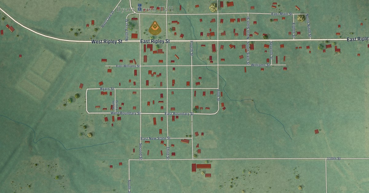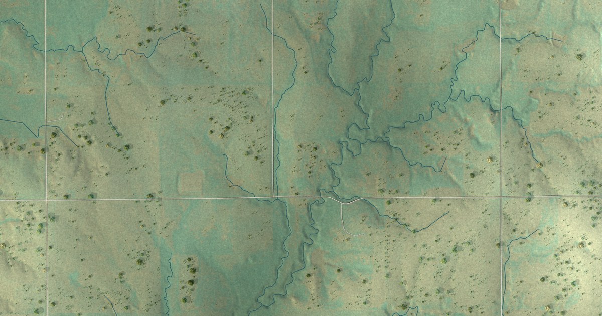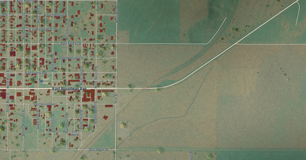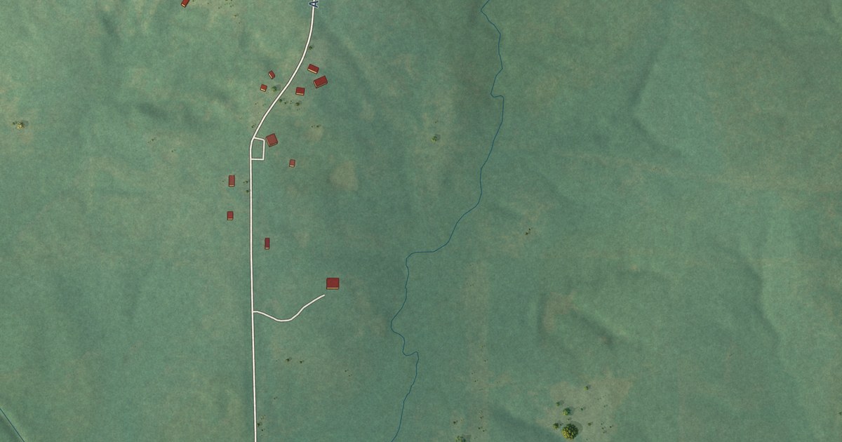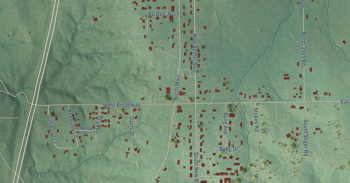
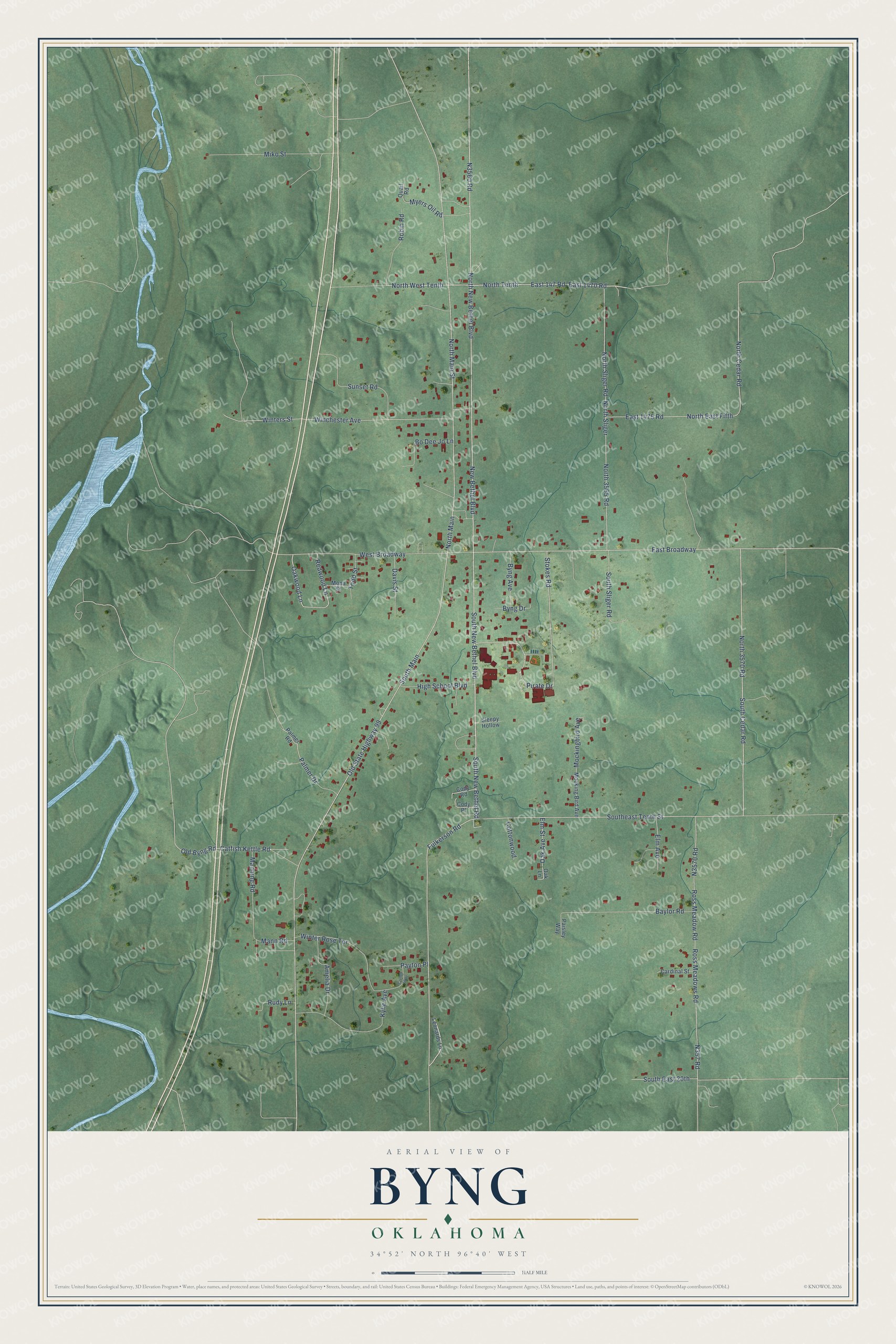
This beautifully detailed map of Byng, Oklahoma was created in 2026 using aerial imagery combined with modern topographical, census, street and landmark data. It's a modern aerial view of Byng in Pontotoc County, Oklahoma, that combines modern data with a vintage aesthetic. The roads feature printed names, and if you look closely you can find your exact house accurately shown in its correct location.
Explore an aerial view of Byng, Oklahoma
On this map you'll find Fulkerson Road, South New Bethel Boulevard, South New Bethel Road, East Broadway, North New Bethel Boulevard, Stokes Road, New Bethel Boulevard, N3560 Road, North 3570 Road, Southeast Tenth Street, Pirate Drive, Redwood Lane, and more. Each red shape is a building, so zoom in on the preview and look for yours.
Every town has a first chapter, and Byng is no exception. The record at okhistory.org puts it this way: "Byng came into existence in 1917 when a post office and a power plant were completed and named in honor of Sir Julian Byng, a British World War I hero."
Byng is a town in Pontotoc County.
Take a closer look at the Byng map
Names on this map
These names are printed on this map.
Streets and roads: Fulkerson Road, South New Bethel Boulevard, South New Bethel Road, East Broadway, North New Bethel Boulevard, Stokes Road, New Bethel Boulevard, North 3570 Road, Southeast Tenth Street, Pirate Drive, Redwood Lane, Oakwood Lane.
More street names, A to Z
Amelia Drive, Baylor Road, Bo Dee Jo Lane, Byng Avenue, Byng Drive, Cardinal Street, Catfish Kettle Road, Cody Place, Cody Road, Colton Way, Cottonwood, Davis Street, East 147 Road, East 1470 Road, East 1475 Road, Elm Avenue, Elm Street, High School Boulevard, Kylie Avenue, Leonards Lane, Manning Road, Mann Road, Miko Street, Mockingbird Avenue, Mocking Bird Avenue, Mona Street, Myers Oil Road, North 3565 Road, North Cedar Road, North East Fifth, North Main, North Main Street, North Sliger, North Sliger Road, North Tenth, North West Tenth, Oak Avenue, Oak Lane, Old Byng Road, Old State Highway 99, Paisley Way, Palmer Drive, Palmer Road, Payton Place, Quail Road, Robin Road, Ross Meadow Road, Ross Meadows Road, Rudy Lane, Sleepy Hollow, South Cedar Road, South East 20th, South Main, South Sliger Road, Sunset Road, Todd Street, West Broadway, Winchester Avenue, Winter Rose Terrace, Winters Street.
Created by KNOWOL in 2026. The buildings are small red shapes, the roads carry their printed names, and shaded relief shows the shape of the land. The title panel reads "AERIAL VIEW OF BYNG OKLAHOMA" with 34°52' NORTH 96°40' WEST.
Hang it in the hallway, the office or the cabin, or give it to someone who left Byng and still calls it home. Open the preview and look for a street you know. See sizes and frames for the Byng map.