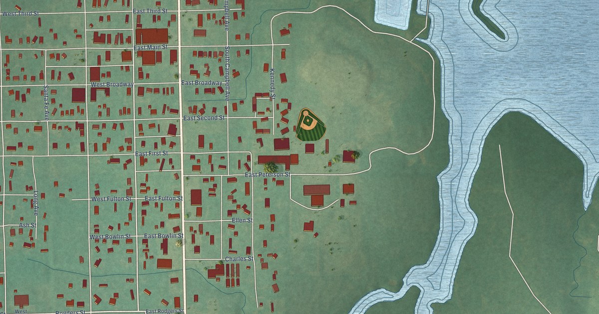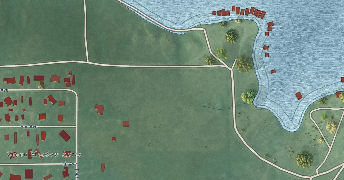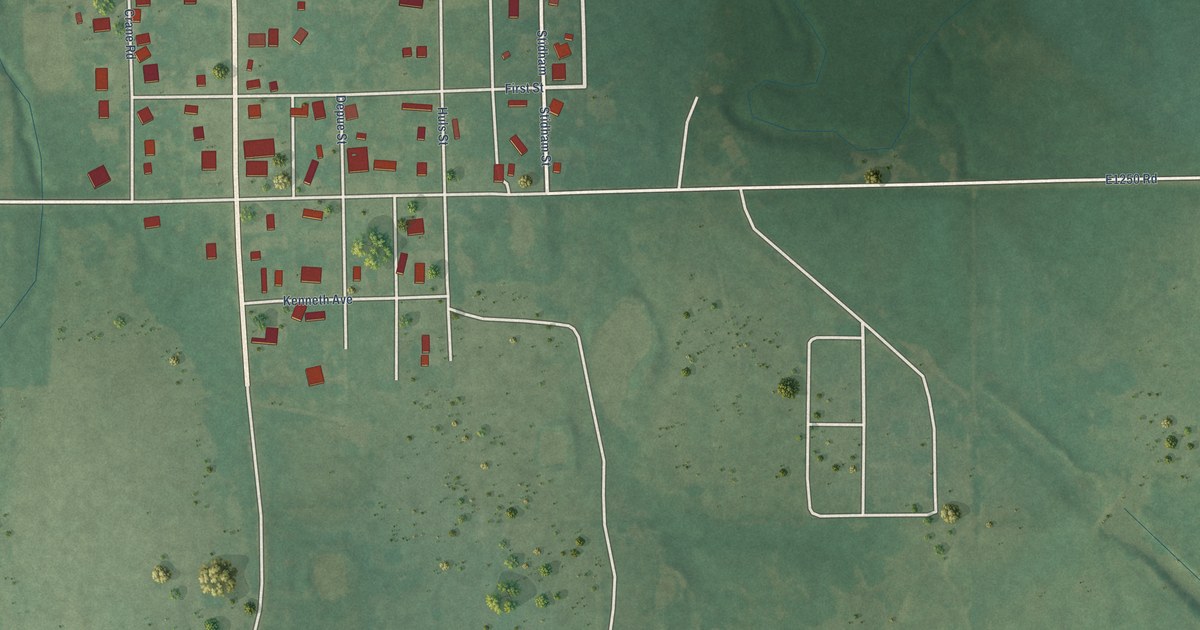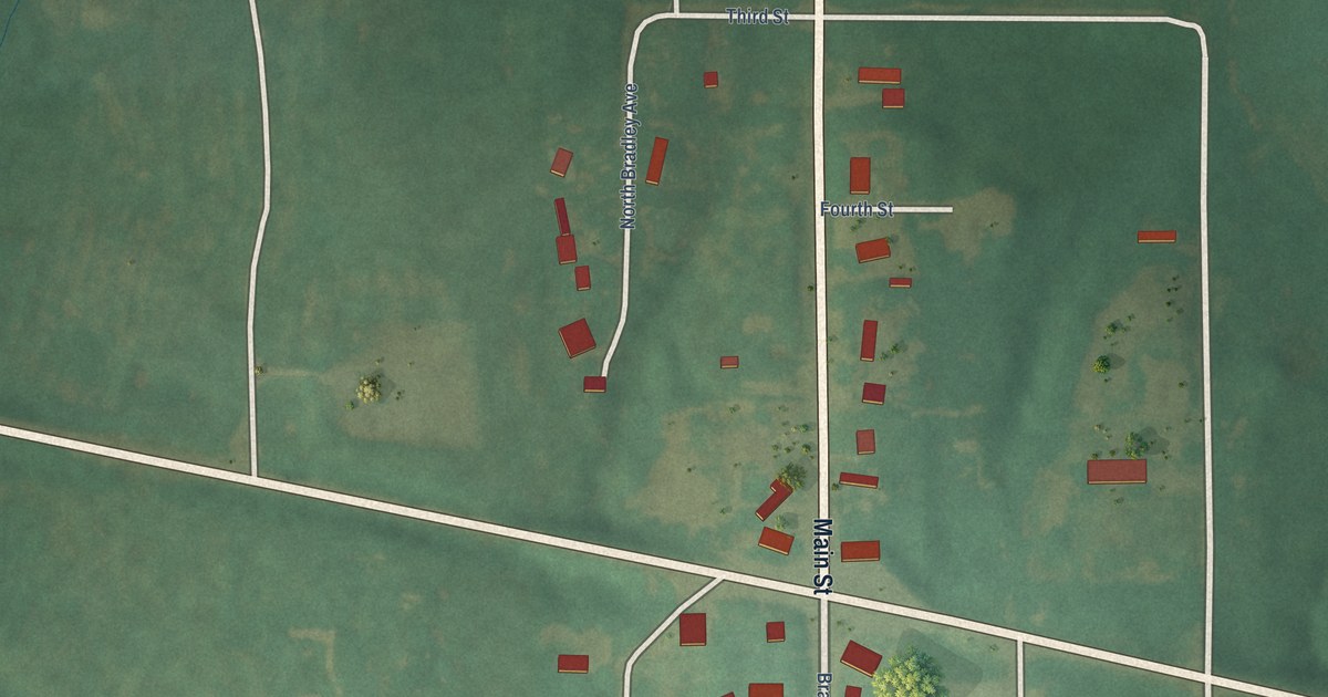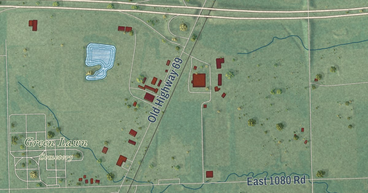
This beautifully detailed map of Checotah, Oklahoma was created in 2026 using aerial imagery combined with modern topographical, census, street and landmark data. It’s a one-of-a-kind view of Checotah that combines accurate data with a vintage aesthetic. The map shows every building in its true location, many of the roads carry their names, and the shaded topographic relief shows the shape of the land.
Explore an aerial view of Checotah, Oklahoma
On the map you’ll find Green Lawn Cemetery and Beaird, along with East Gentry Avenue, Highway 266, West Gentry Avenue, Floyd Beaird Road, East South Avenue, West South Avenue, North Beaird Road, North Broadway Street, North 4210 Road, East 1070 Road, and more. If you look closely you can even find your house accurately drawn in its correct location. Zoom in on the preview to look for yours.
Did you know this piece of Checotah, Oklahoma history?
From the Oklahoma Historical Society: "In February 1872 workers for the Missouri, Kansas and Texas Railway (MK&T) established a railhead at present Checotah, on the old Texas Road in the Creek Nation, as they built tracks southward toward the Red River."
Checotah is a city in McIntosh County.
Take a closer look at the Checotah map
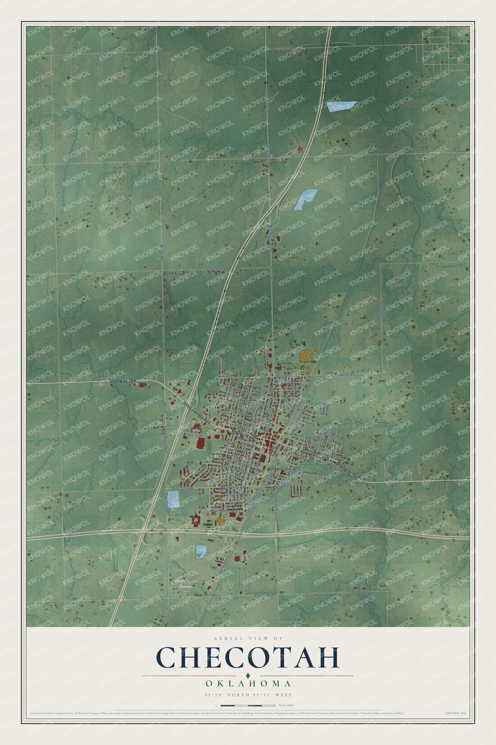
Street and place names on the Checotah, Oklahoma map
These names are printed on the map of Checotah, Oklahoma.
Places: Green Lawn Cemetery.
Streets and roads: East Gentry Avenue, Highway 266, West Gentry Avenue, Beaird, Floyd Beaird Road, East South Avenue, West South Avenue, North Beaird Road, North Broadway Street, North 4210 Road, East 1070 Road, South Broadway Street.
More street names, A to Z
Beaird Road, Bus Highway 69, Cemetery Avenue, Checotah Drive, Circle Drive, East 1030 Road, East 1040 Road, East 1050 Road, East 1080 Road, East Audd Avenue, East Knisley Avenue, East Lafayette Avenue, East North Avenue, East Okmulgee Avenue, East Park Avenue, East Spaulding Street, Elizabeth Drive, Enterprise Avenue, Iris Drive, Nichols Avenue, Northeast Fifth Street, Northeast Main Street, North Oak Street, Northwest Eighth Street, North West Elm Avenue, Northwest First Street, Northwest Lakeland Add, Northwest Main Street, Northwest Second Street, Northwest Seventh Street, Northwest Sixth Street, North Wineblood Street, Old Highway 69, Paul Carr Drive, Southeast First Street, Southeast Main Street, Southwest First Street, Southwest Main Street, Southwest Sixth, West Audd Avenue, West Chenault Avenue, West Creek Avenue, West Indianola Avenue, West Jefferson Avenue, West Knisley Avenue, West Lafayette Avenue, West McIntosh Avenue, West Miles Avenue, West North Avenue, West Okmulgee Avenue, West Owens Avenue, West Park Avenue, West Spaulding Avenue, West Spring Avenue.
See the Checotah, Oklahoma map on a wall
The Checotah map as an 18 x 24 inch print in a black frame.

This beautifully detailed map of Checotah makes an attractive addition to your office, library, or den, and it can even be used to teach children the geography and history of the area. It also makes a great gift for anyone with Checotah roots. When you’re done exploring, click here to get your copy of the Checotah map.