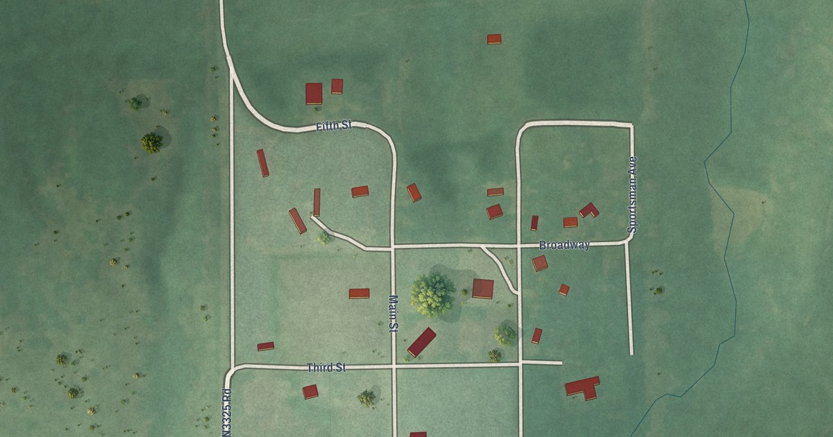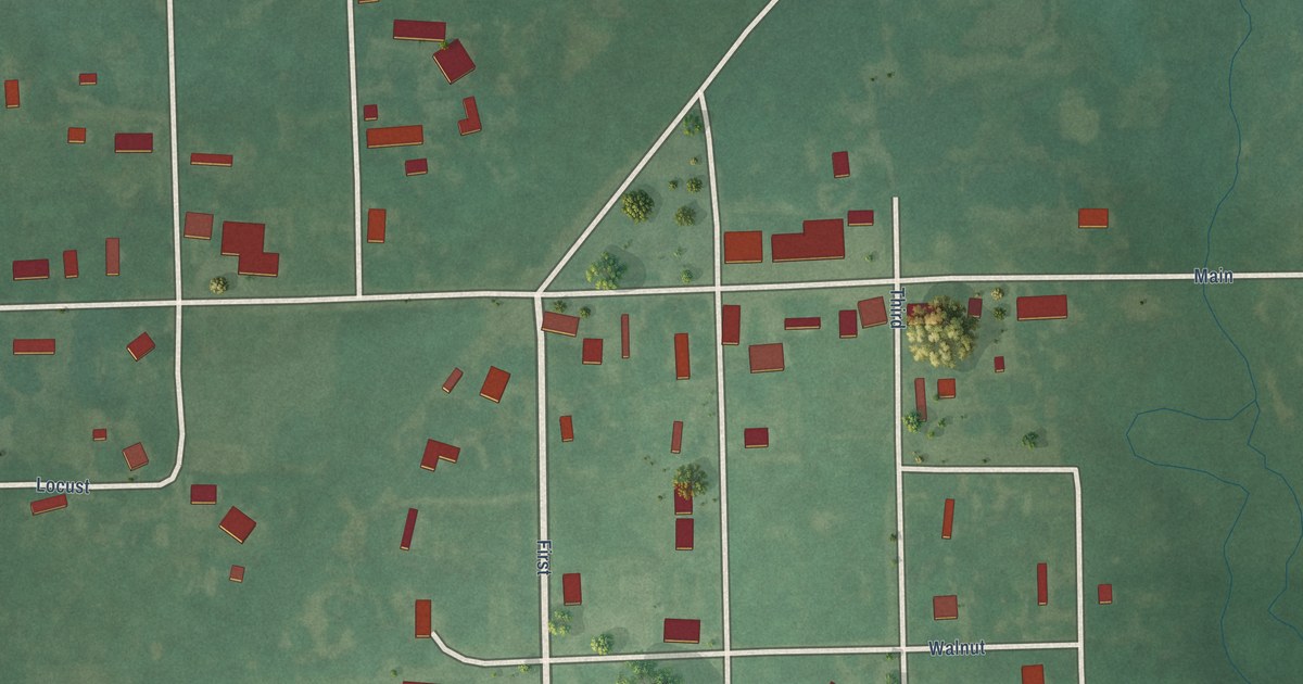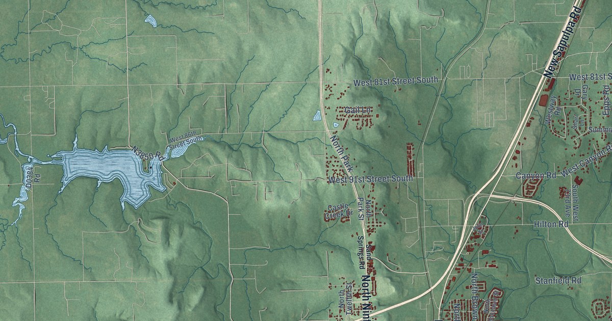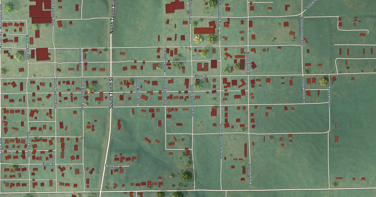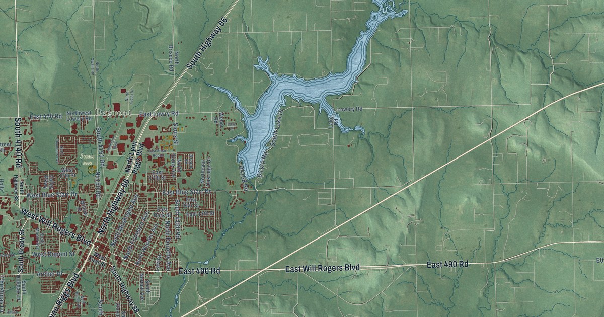
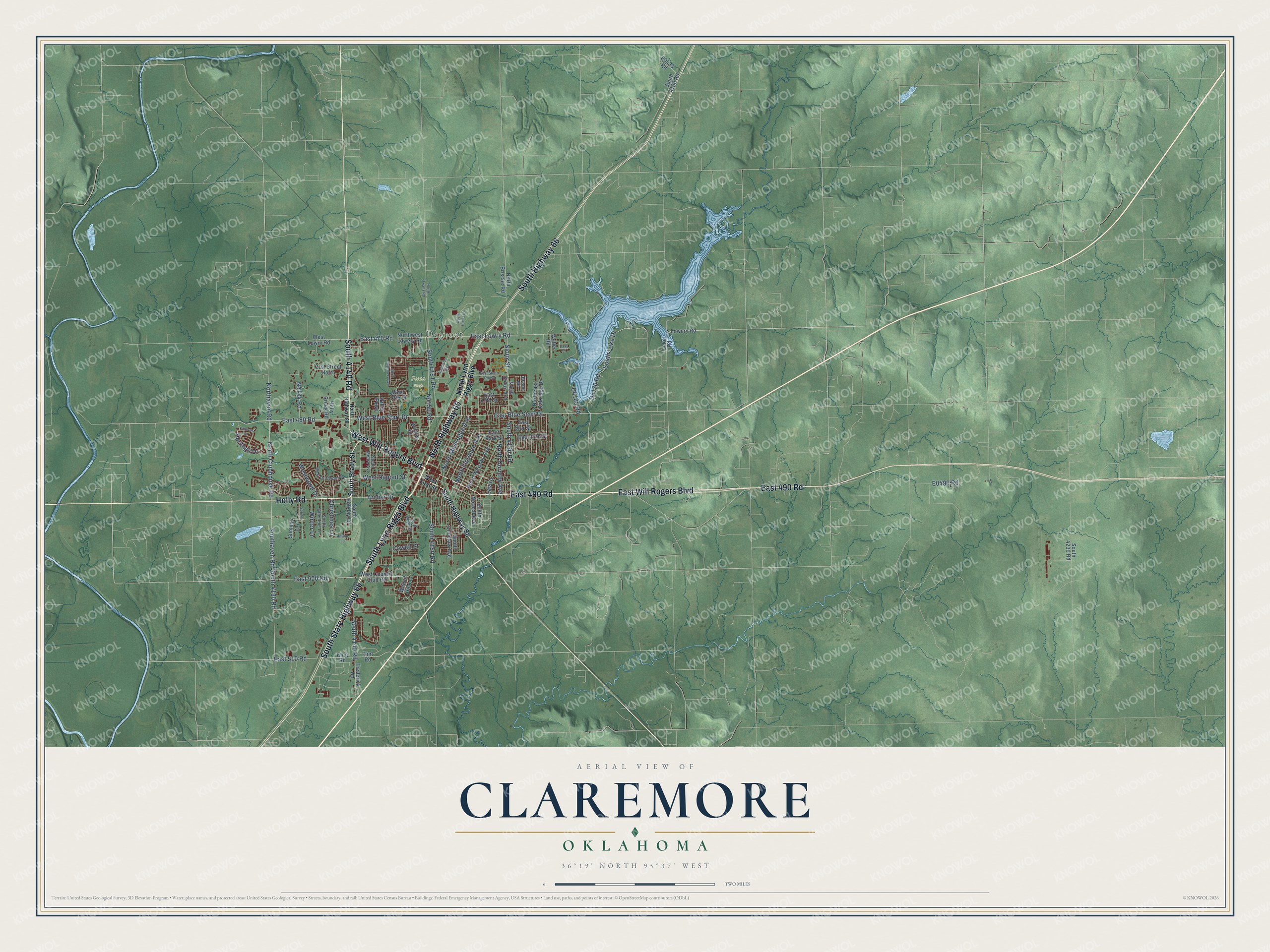
This beautifully detailed map of Claremore, Oklahoma was created in 2026 using aerial imagery combined with modern topographical, census, street and landmark data. It's a modern aerial view of Claremore in Rogers County, Oklahoma, that combines modern data with a vintage aesthetic. The roads feature printed names, and if you look closely you can find your exact house accurately shown in its correct location.
Explore an aerial view of Claremore, Oklahoma
On this map you'll find Degroat, Pecan Park, East 490 Road, East Will Rogers Boulevard, West Will Rogers Boulevard, Holly Road, North Highway 66, South State Highway 66, South Lynn Riggs Boulevard, South Highway 66, South 4140 Road, East 480 Road, and more. Each red shape is a building, so zoom in on the preview and look for yours.
Every town has a first chapter, and Claremore is no exception. The record at okhistory.org puts it this way: "A post office was established there on June 25, 1874, thirty-three years prior to Oklahoma statehood, when the region was the Cherokee Nation, Indian Territory."
Claremore is a city in Rogers County.
Take a closer look at the Claremore map
Names on this map
These names are printed on this map.
Places: Degroat and Pecan Park.
Streets and roads: East 490 Road, East Will Rogers Boulevard, West Will Rogers Boulevard, Holly Road, North Highway 66, South State Highway 66, South Lynn Riggs Boulevard, South Highway 66, South 4140 Road, East 480 Road, West Blue Starr Drive, North Clubhouse Road.
More street names, A to Z
21st Street North, Anderson Boulevard, Archer Drive, Bristol Road, Christmas Lane, Cowell Street, East 13th Street, East 17th Street, East 470 Road, East 500 Road, East 510 Road, East Blue Starr Drive, East Lowry Road, East Park Street, East Star Street, East Stuart Roosa, Easy Street, Fairway Street, Flint Road, Frederick Road, Heritage Drive, Hilltop Lane, Holly Creek Road, King Road, Lake Road, Lavira, Lowery Road, Northaven Road, North Briscoe Road, North Chambers Avenue, North Cieda Drive, North Dorothy Avenue, Northeast Oakridge Drive, North Florence Avenue, North Highway 88, North Lynn Riggs Boulevard, North Muskogee Avenue, North Owalla Road, North Sioux Avenue, Northwest Lowery Road, North Wewoka Avenue, Sioux Street, South 4130 Road, South 4150 Road, South 4151 Road, South 4160 Road, South 4180 Road, South 4230 Road, Southaven Road, South Brady Street, South Choctaw Avenue, South Highway 88, South Holiday Lane, South Lake Drive, South Moore Avenue, South Normal Avenue, South Valentine Lane, Spring Lane, Summer Lane, Valley Parkway, Walnut Hill Lane, Weber Road, West 17th Street, West Country Club Road, West Driftwood Drive, West Dupont Street, West First Street, West Lowry Road, West Ramm Road, Westwood Drive, Willow Place, Winter Lane.
Created by KNOWOL in 2026. The buildings are small red shapes, the roads carry their printed names, and shaded relief shows the shape of the land. The title panel reads "AERIAL VIEW OF CLAREMORE OKLAHOMA" with 36°19' NORTH 95°37' WEST.
Hang it in the hallway, the office or the cabin, or give it to someone who left Claremore and still calls it home. Open the preview and look for a street you know. See sizes and frames for the Claremore map.