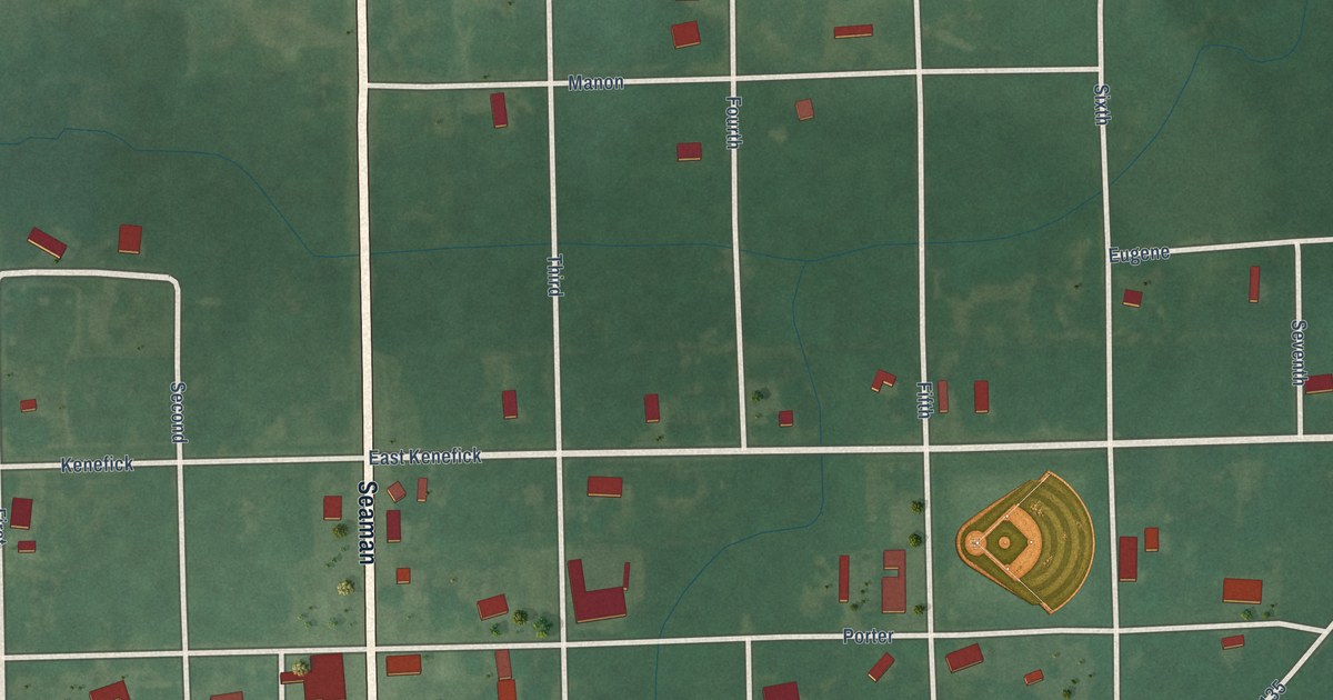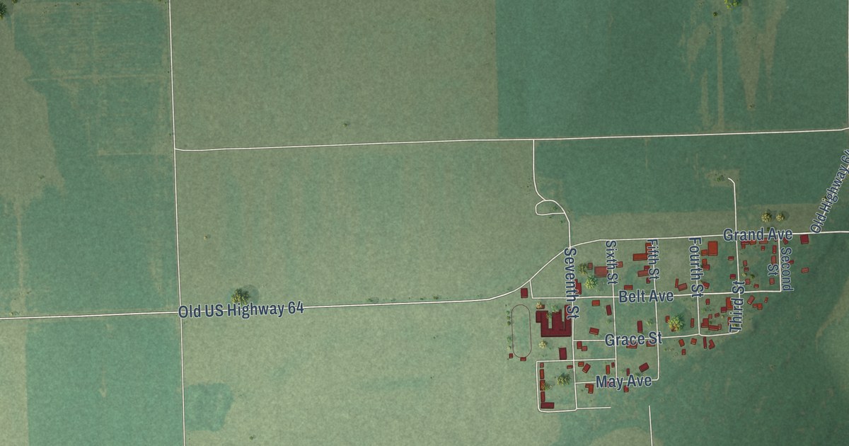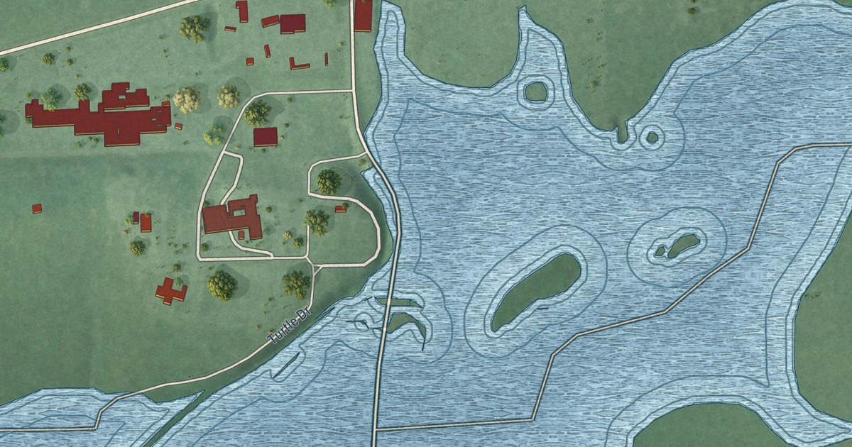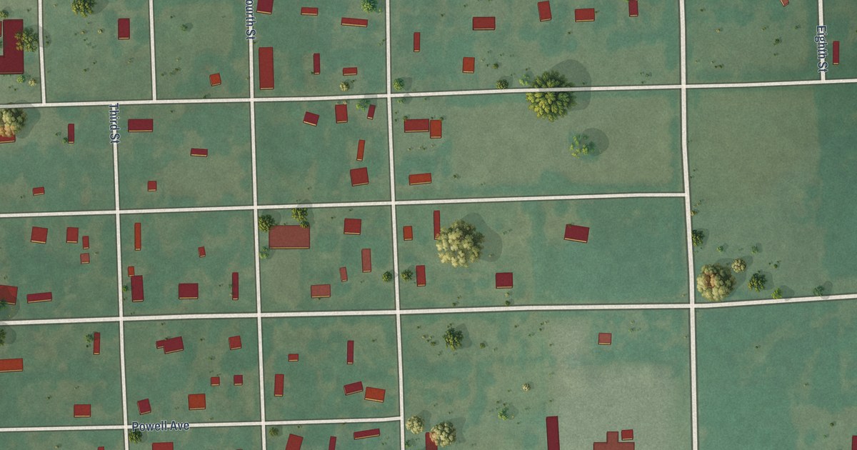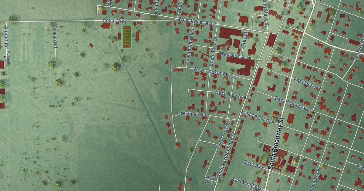
This beautifully detailed map of Coalgate, Oklahoma was created in 2026 using aerial imagery combined with modern topographical, census, street and landmark data. It’s a one-of-a-kind view of Coalgate that combines accurate data with a vintage aesthetic. The map shows every building in its true location, many of the roads carry their names, and the shaded topographic relief shows the shape of the land.
Explore an aerial view of Coalgate, Oklahoma
On the map you’ll find Coalgate City Park, along with West Hanover Avenue, South Broadway Street, North Main Street, West Ohio Avenue, West Queen Avenue, Lafayette Avenue, East Paige Avenue, Cottage Street, South Cottage Street, West Cedar Avenue, Cedar Way, and more. If you look closely you can even find your house accurately drawn in its correct location. Zoom in on the preview to look for yours.
Did you know this piece of Coalgate, Oklahoma history?
From Okhistory.org: "A popular legend holds that the town was named after Colgate Hoyt, a MK&T director."
Coalgate is a city in Coal County.
Take a closer look at the Coalgate map
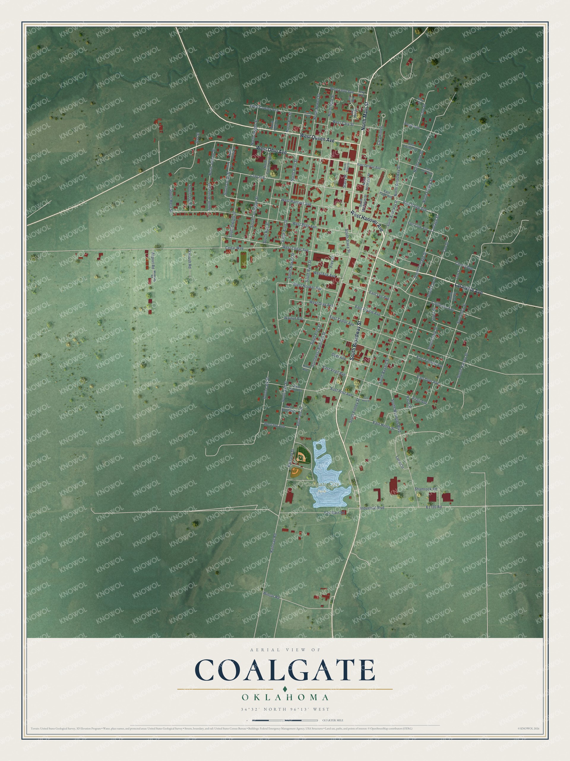
Street and place names on the Coalgate, Oklahoma map
These names are printed on the map of Coalgate, Oklahoma.
Places: Coalgate City Park.
Streets and roads: West Hanover Avenue, South Broadway Street, North Main Street, West Ohio Avenue, West Queen Avenue, Lafayette Avenue, East Paige Avenue, Cottage Street, South Cottage Street, West Cedar Avenue, Cedar Way, Railroad Street.
More street names, A to Z
Airport Road, Amy Street, Boyle Avenue, California Avenue, Cary Annex, Cherry Avenue, Clark Street, Clay Avenue, Cloe Street, Coe Street, Cowley Avenue, Day Street, Dyer Avenue, East Crow Avenue, East Delmar Avenue, East Dyer Avenue, East Ewing Avenue, East Henry Street, East Lee Avenue, East Olive Avenue, East Page Avenue, East Post Avenue, East Post Street, East Prairie Avenue, East Taylor Avenue, East Vincent Avenue, East Virgil Avenue, Fair Barn Road, Frey Street, Hart Avenue, Industrial Boulevard, Levy Annex, Levy Anx, Levy Avenue, Low Street, Lursi Circle, McAnally Road, North Arno Street, North Broadway Street, North Byrd Street, North Covington Street, North Dwight Street, North Finney Street, North Jerome Street, North Lyon Street, North Michigan Street, North Newell Street, North Oden Street, North Orray Street, North Roy Street, North Stacy Street, Orray Street, Race Street, Railroad Road, Shamrock Road, South Ada Street, South Arno Street, South Ash Street, South Bayard Street, South Byrd Street, South Clark Street, South Coe Street, South Covington Street, South Day Street, South Dwight Street, South Finney Street, South Frey Street, South Harvey Street, South Jerome Street, South Lark Street, South Low Street, South Meta Street, South Michigan Street, South Newell Street, South Orray Street, South Roy Street, South Stacy Street, Southwest Railroad Street, South Wrangler Boulevard, Stacy Street, Veterans Drive, Virgil Avenue, Walnut Avenue, West Blair Avenue, West Boyd Avenue, West Cary Street, West Cowley Avenue, West Fox Avenue, West Gray Avenue, West Hooker Avenue, West Ivy Avenue, West Levy Avenue, West Oak Avenue, Winsor Road, Yenush Road.
See the Coalgate, Oklahoma map on a wall
The Coalgate map as an 18 x 24 inch print in a black frame.

This beautifully detailed map of Coalgate makes an attractive addition to your office, library, or den, and it can even be used to teach children the geography and history of the area. It also makes a great gift for someone who left Coalgate and still calls it home. When you’re done exploring, click here to get your copy of the Coalgate map.