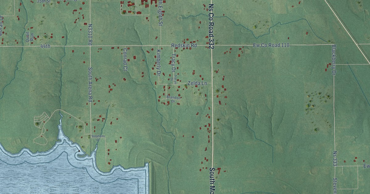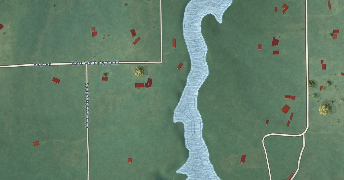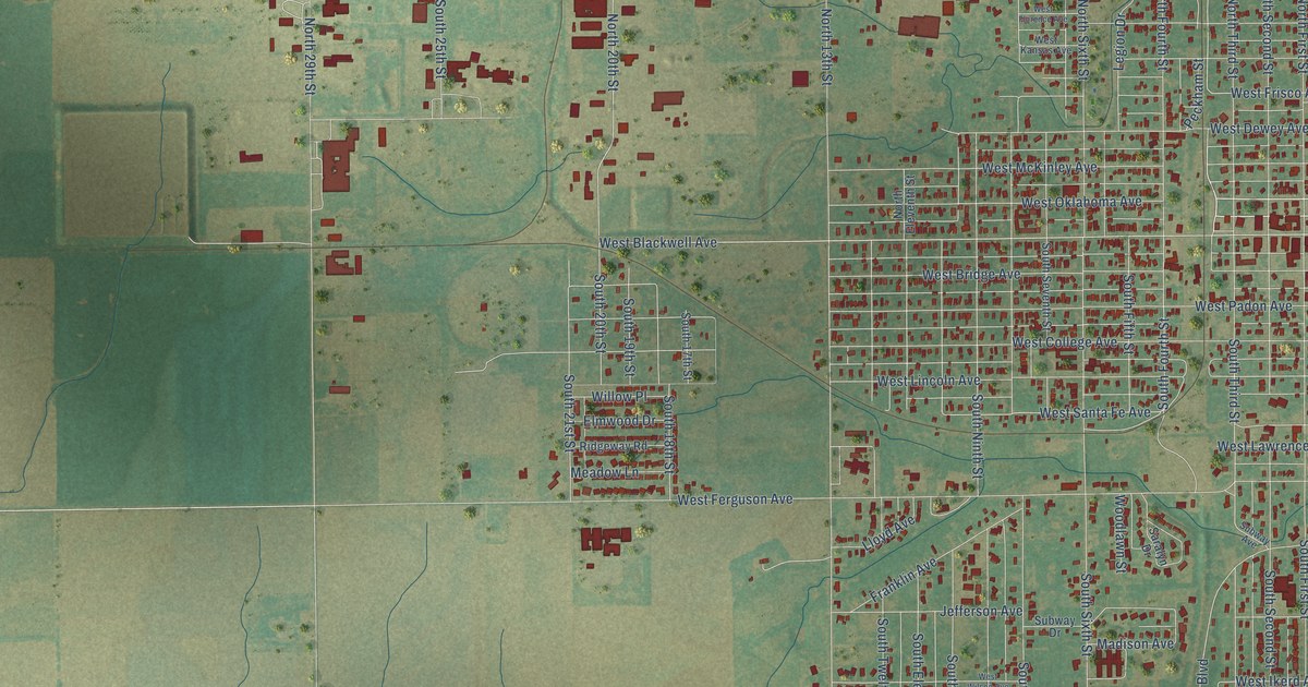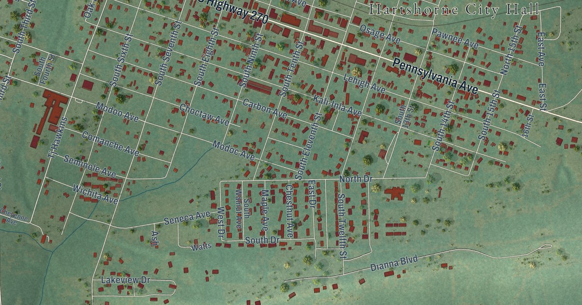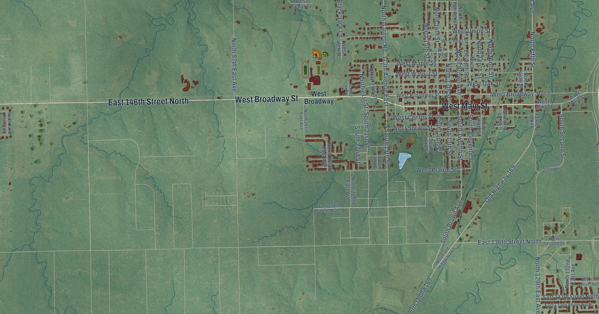
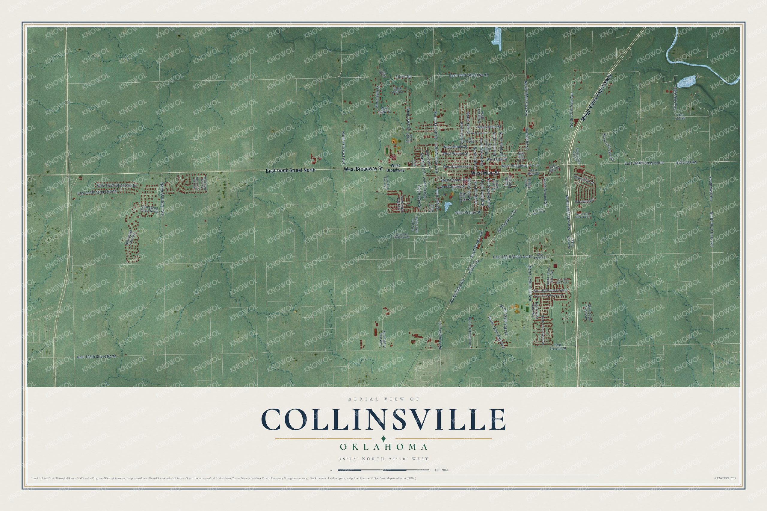
This beautifully detailed map of Collinsville, Oklahoma was created in 2026 using aerial imagery combined with modern topographical, census, street and landmark data. It's a modern aerial view of Collinsville in Tulsa County, Oklahoma, that combines modern data with a vintage aesthetic. The roads feature printed names, and if you look closely you can find your exact house accurately shown in its correct location.
Explore an aerial view of Collinsville, Oklahoma
On this map you'll find West Broadway Street, West Main Street, East 146th Street North, Mingo Valley Expressway, Old Highway 169, South Brown Avenue, South Twelfth Street, East 136th Street North, North Brown Avenue, North Oldhw169, South Second Street, North 129th East Avenue, and more. Each red shape is a building, so zoom in on the preview and look for yours.
Here is a piece of Collinsville history, in the words of the record. The record at okhistory.org puts it this way: "The railroad constructed tracks west of that original town to avoid crossing an additional creek."
Collinsville is a city in Tulsa County.
Take a closer look at the Collinsville map
Names on this map
These names are printed on this map.
Streets and roads: West Broadway Street, West Main Street, East 146th Street North, Mingo Valley Expressway, Old Highway 169, South Brown Avenue, South Twelfth Street, East 136th Street North, North Brown Avenue, North Oldhw169, South Second Street, North 129th East Avenue.
More street names, A to Z
113th Avenue East, 138th East Avenue, Black Jack Court, Black Jack Lane, City Lake Road, East 86th Street, East 126th Street North, East 132nd Street North, East 133rd Street North, East 134th Street North, East 138th Street North, East 140th Street North, East 141st Street North, East 142nd Street North, East 144th Street North, East 145th Street North, East 156th Street North, East 450 Road, East 455 Road, East Brook Street, East Center Street, East Eleventh Street, East Main Street, Main Street, North 13th Street, North 14th Street, North 15th Street, North 20th Street, North 21st Street, North 22nd Street, North 28th Street, North 59th East Avenue, North 65th East Avenue, North 71st East Avenue, North 72nd East Avenue, North 97th East Avenue, North 103rd East Avenue, North 104th East Avenue, North 106th East Avenue, North 109th East Avenue, North 118th East Avenue, North 124th East Avenue, North 124th East Place, North 130th East Avenue, North 131st East Avenue, North 132nd East Avenue, North 135th East Avenue, North 137th East Avenue, North 137th East Place, North 139th East Avenue, North 144th East Avenue, North 161st East Avenue, North Eleventh Street, North Fifth Street, North Garnett Road, North Highway 169, North Ninth Street, North Old Highway 169, North Sixth Street, North Tenth Street, North Twelfth Street, South 13th Street, South 14th Street, South 15th Street, South 19th Street, South 20th Street, South 21st Street, South 22nd Street, South 4050 Road, South Eighth Street, South Eleventh Street, South Fifth Street, South Tenth Street, West 49th Street, West Broadway, West Cedar Street, West Center Street, West Exchange Street, West Maple Street, West Oak Street, West Pearl Street, West Prairie Street, West Second Street, West Spring Street, West Union Street, West Walnut Street.
Created by KNOWOL in 2026. The buildings are small red shapes, the roads carry their printed names, and shaded relief shows the shape of the land. The title panel reads "AERIAL VIEW OF COLLINSVILLE OKLAHOMA" with 36°22' NORTH 95°50' WEST.
It suits a den, a classroom or a front hall, and it makes a gift for anyone with Collinsville roots. Open the preview and find the block you know. See sizes and frames for the Collinsville map.