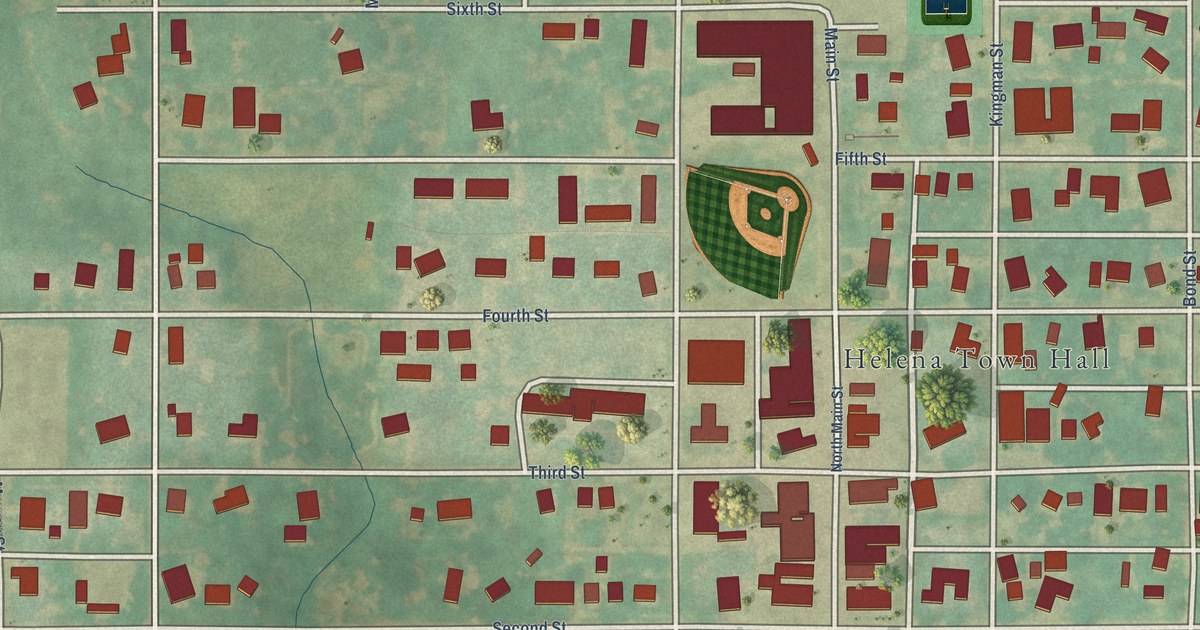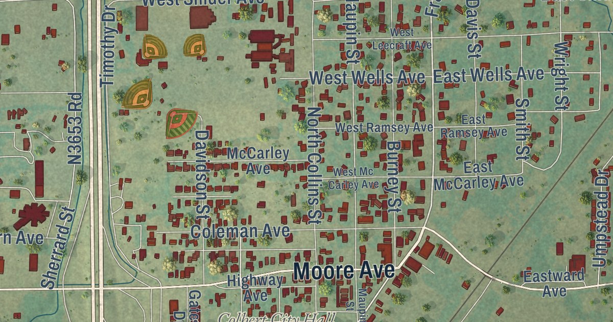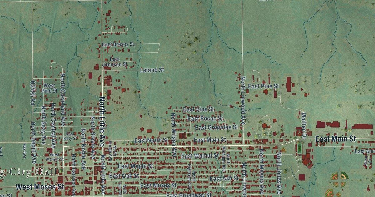
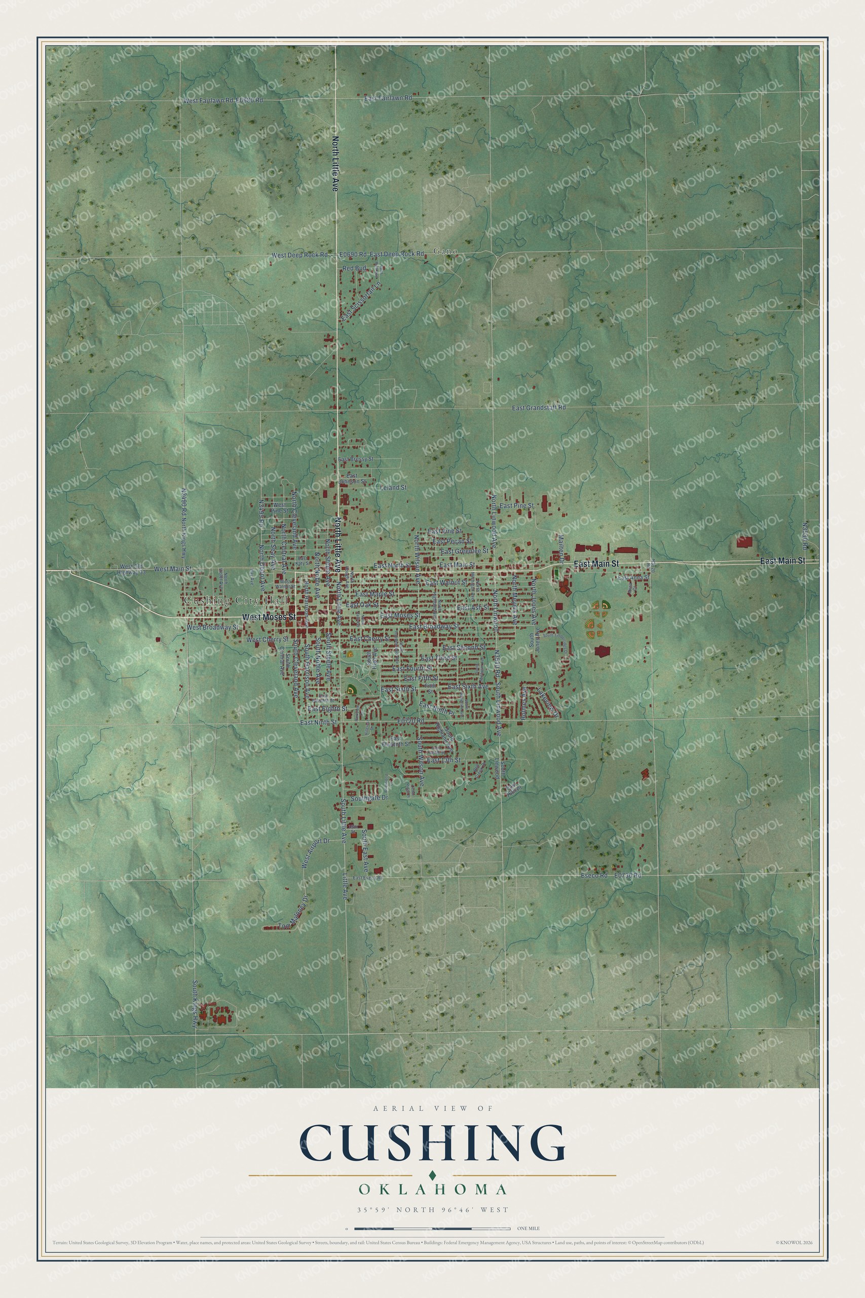
This beautifully detailed map of Cushing, Oklahoma was created in 2026 using aerial imagery combined with modern topographical, census, street and landmark data. It’s a one-of-a-kind view of Cushing that combines accurate data with a vintage aesthetic. The map shows every building in its true location, many of the roads carry their names, and the shaded topographic relief shows the shape of the land.
Explore an aerial view of Cushing, Oklahoma
On the map you’ll find Cushing City Hall and Gano, along with North Little Avenue, West Moses Street, East Main Street, South Little Avenue, Little Avenue, North Cleveland Avenue, East Broadway Street, N3510 Road, West Main Street, South Linwood Avenue, and more. If you look closely you can even find your house accurately drawn in its correct location. Zoom in on the preview to look for yours.
Did you know this piece of Cushing, Oklahoma history?
From Okhistory.org: "A post office was established on November 10, 1891, and the town was named for Marshall Cushing, private secretary to U.S. Postmaster General John Wanamaker."
Cushing is a city in Payne County.
Take a closer look at the Cushing map
Street and place names on the Cushing, Oklahoma map
These names are printed on the map of Cushing, Oklahoma.
Places: Cushing City Hall and Gano.
Streets and roads: North Little Avenue, West Moses Street, East Main Street, South Little Avenue, Little Avenue, North Cleveland Avenue, East Broadway Street, West Main Street, South Linwood Avenue, North Linwood Avenue, North Jones Avenue, East Oak Street.
More street names, A to Z
19th Street, Anna Court, Bell Creek Drive, Briarwood Lane, Cedar Ridge Place, East 13th Street, East 16th Place, East Anna Street, East Ash Street, East Bressy Street, East Cherry Street, East Deep Rock Road, East Eighth Street, East Eleventh Street, East Eseco Road, East Fairlawn Road, East Fifth Street, East Fourth Street, East Grandstaff Road, East Greenlee Street, East Johnson Street, East Katy Street, East Maple Street, East Moses Street, East Ninth Place, East Ninth Street, East North Street, East Pecan Street, East Pine Street, East Scissortail Lane, East Second Street, East Seventh Street, East Sixth Avenue, East Sixth Street, East Third Street, East Twelfth Street, East Vine Street, East Walnut Street, Eseco Road, Fitth Street, Hay Avenue, Hillcrest Drive, Holmes Avenue, Lakeview Drive, Leland Street, Mailten Drive, North Central Avenue, North Depot Avenue, North East Avenue, North Harrison Avenue, North Highland Avenue, North Hough Avenue, North Kings Highway, North Linwood, North Meyers Avenue, North Michigan Avenue, North Noble Avenue, North Ruth Avenue, North Seay Avenue, North Steele Avenue, North Violet Avenue, North Wilson Avenue, Parkview Drive, Red Bud, South Central Avenue, South Cleveland Avenue, South East Avenue, Southgate Drive, South Harrison Avenue, South High Avenue, South Highland Avenue, South Howerton Avenue, South Independence Avenue, South Jones Avenue, South Kings Highway, South Linwood, South Michigan Avenue, South Noble Avenue, South Steele Avenue, South Timberridge Drive, South Wilson Avenue, Tom Maloney Drive, West Airport Drive, West Broadway Street, West Cherry Street, West Deep Rock Road, West Fairlawn Road, West Old Highway 33, West Pine Street, West Walnut Street.
See the Cushing, Oklahoma map on a wall
The Cushing map as an 18 x 24 inch print in a black frame.

This beautifully detailed map of Cushing makes an attractive addition to your office, library, or den, and it can even be used to teach children the geography and history of the area. It also makes a great gift for someone who left Cushing and still calls it home. When you’re done exploring, click here to get your copy of the Cushing map.