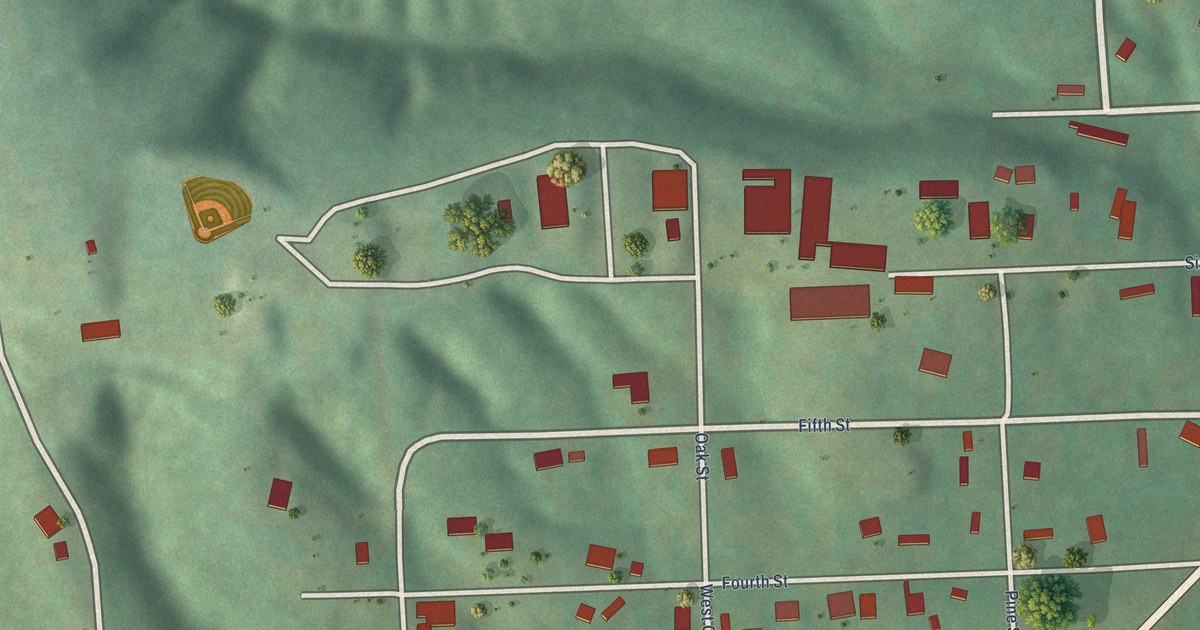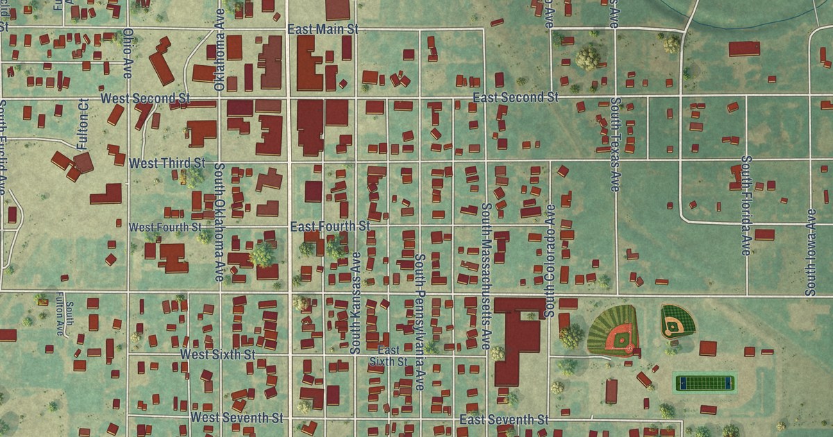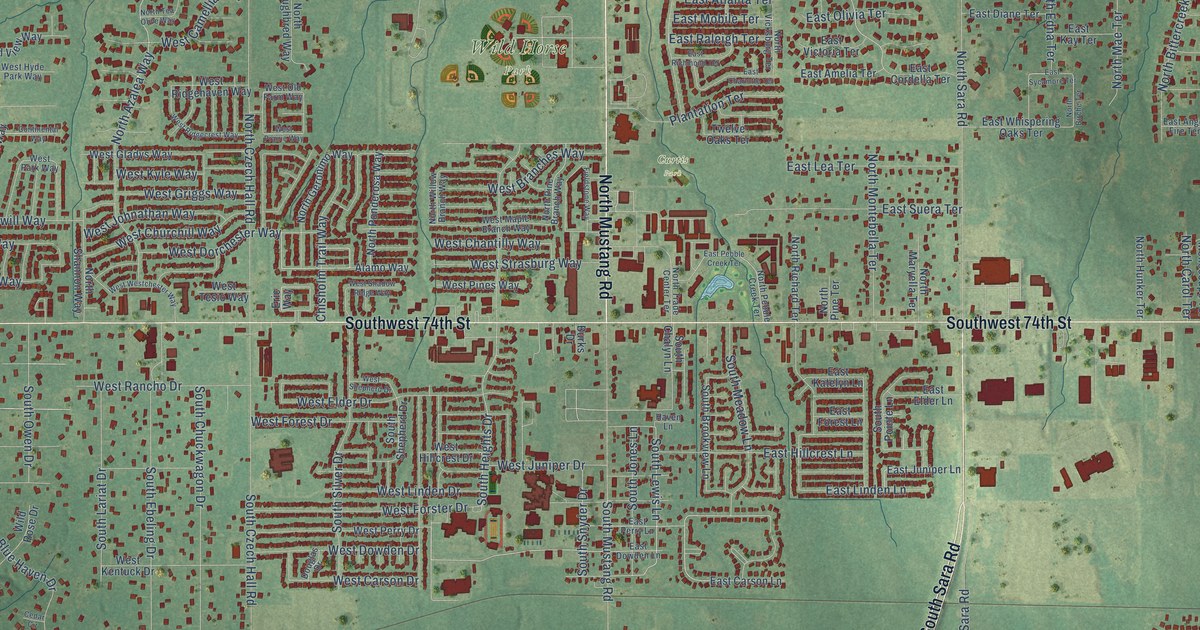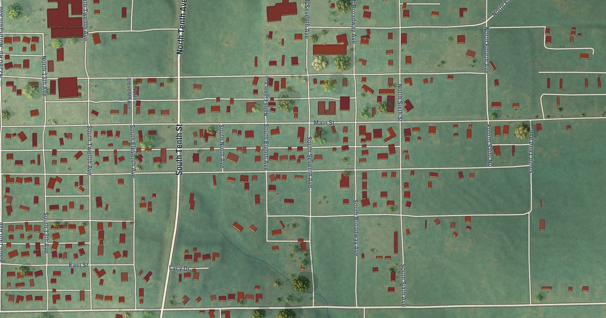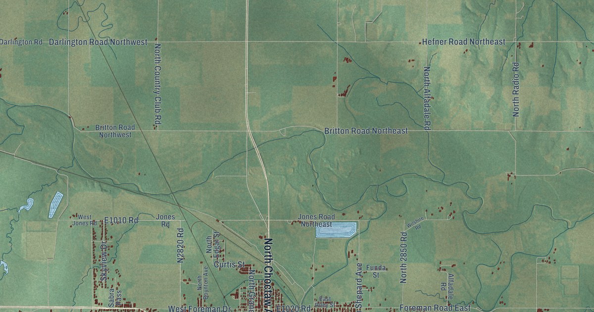
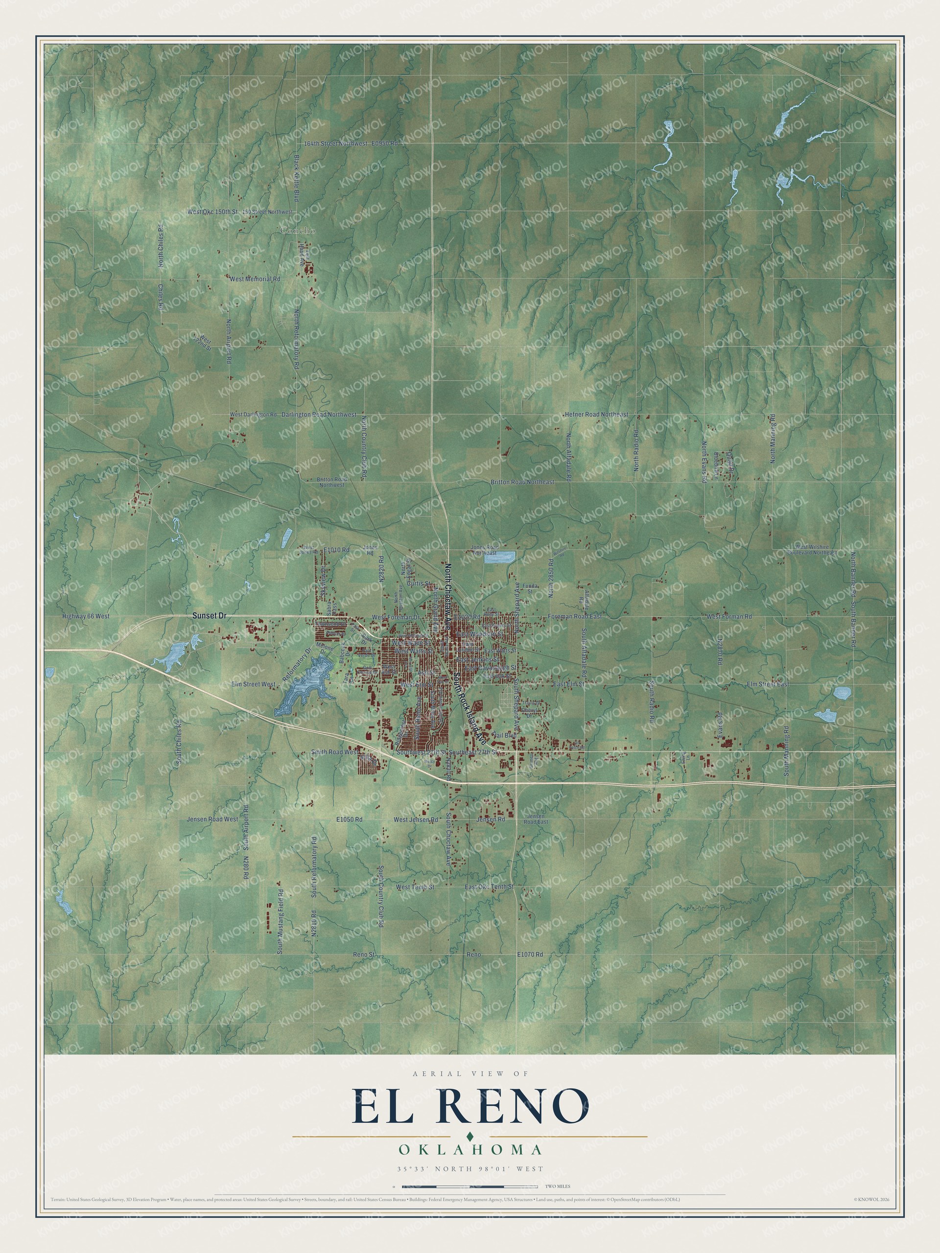
This beautifully detailed map of El Reno, Oklahoma was created in 2026 using aerial imagery combined with modern topographical, census, street and landmark data. It's a modern aerial view of El Reno in Canadian County, Oklahoma, that combines modern data with a vintage aesthetic. The roads feature printed names, and if you look closely you can find your exact house accurately shown in its correct location.
Explore an aerial view of El Reno, Oklahoma
On this map you'll find Concho, South Rock Island Avenue, Sunset Drive, North Choctaw Avenue, South Shepard Avenue, North Shepard Avenue, Southeast 27th Street, Britton Road Northeast, Foreman Road East, Black Kettle Boulevard, North Reformatory Road, N2820 Road, and more. Each red shape is a building, so zoom in on the preview and look for yours.
Every town has a first chapter, and El Reno is no exception. The record at okhistory.org puts it this way: "The Chicago, Kansas and Nebraska Railroad line (after 1891 owned by the Chicago, Rock Island and Pacific Railway, or CRI&P) reached El Reno in early 1890 on its trek to from Kansas to Texas."
El Reno is a city in Canadian County.
Take a closer look at the El Reno map
Names on this map
These names are printed on this map.
Places: Concho.
Streets and roads: South Rock Island Avenue, Sunset Drive, North Choctaw Avenue, South Shepard Avenue, North Shepard Avenue, Southeast 27th Street, Britton Road Northeast, Foreman Road East, Black Kettle Boulevard, North Reformatory Road, North Country Club Road, South Radio Road.
More street names, A to Z
150 Street Northwest, 164th Street Northwest, Alfadale Road, Ash Street, Ashton Place, Babcock Drive, Bluebird Lane, Britton Road Northwest, Cheryl Drive, Chiles Road, Curtis Street, Darlington Road Northwest, East Cavanaugh Street, East Elm Street, East Jenkins Street, East London Street, East Oak Street, East Okc Tenth Street, East Riley Street, East Rogers Street, East Watts Street, East Woodson Street, Elm Street East, Elm Street West, Evans Road, Ewing Lane, Funda Street, Golf Course Drive, Grimes Avenue, Hefner Road Northeast, Highway 66 West, Jensen Road, Jensen Road East, Jensen Road West, Jones Road, Jones Road Northeast, Left Hand Avenue, Melone Drive, Mercy Drive, Morrison Avenue, North 2850 Road, North Airport Road, North Alfadale Road, North Banner Road, North Boynton Avenue, North Chiles Road, North Edgar Street, North Evans Road, North Grand Avenue, North Manning Road, North Radio Road, Oil Patch Road, Palo Verde Drive, Park Drive, Park Street, Quail Drive, Reformatory Drive, Reno, Reno Street, Ridgecrest Drive, Sabra Pass, Skyview Drive, Smith Road West, South Airport Road, South Alfadale Road, South Banner Road, South Chiles Road, South Choctaw Avenue, South Country Club Road, South Evans Avenue, South Jensen Avenue, South Manning Road, South Miles Avenue, South Mustang Field Road, South Reformatory Road, South Reno Avenue, Southwest 27th Street, Tara Lane, Townsend Drive, Trail Boulevard, Travis Drive, Villa Drive, West 122nd Street, West Ash Street, West Darlington Road, West Elm Street, West Foreman Drive, West Forman Road, West Jensen Road, West Jones Road, West Memorial Road, West Oak Street, West Okc 150th Street, West Tenth Street, West Wade Street, West Watts Street, West Wilshire Boulevard Northeast, West Woodson Street, Wilshire Road.
Created by KNOWOL in 2026. The buildings are small red shapes, the roads carry their printed names, and shaded relief shows the shape of the land. The title panel reads "AERIAL VIEW OF EL RENO OKLAHOMA" with 35°33' NORTH 98°01' WEST.
Hang it in the hallway, the office or the cabin, or give it to someone who left El Reno and still calls it home. Open the preview and look for a street you know. See sizes and frames for the El Reno map.