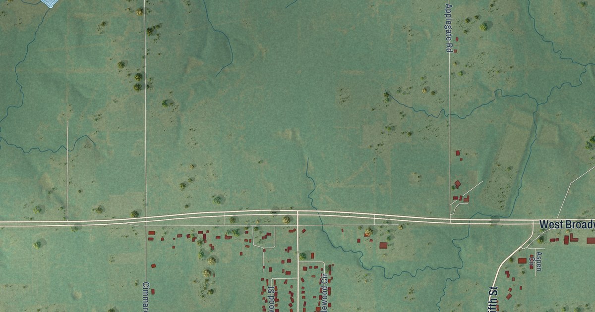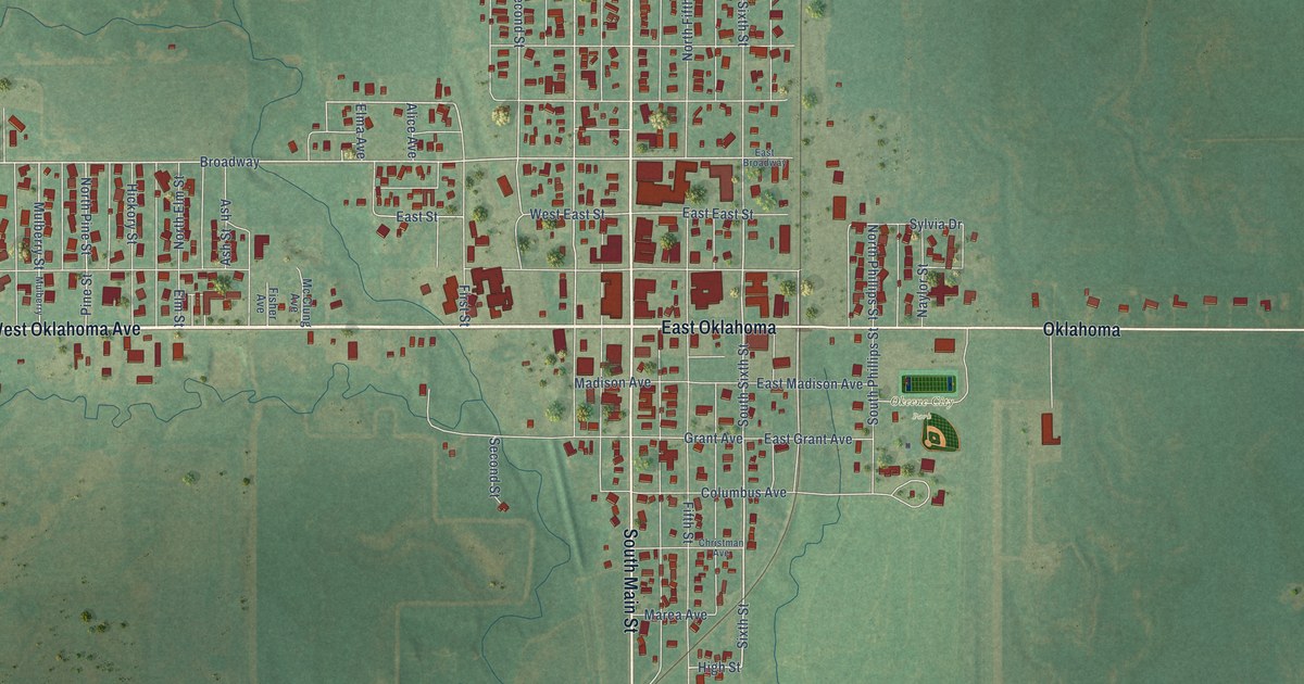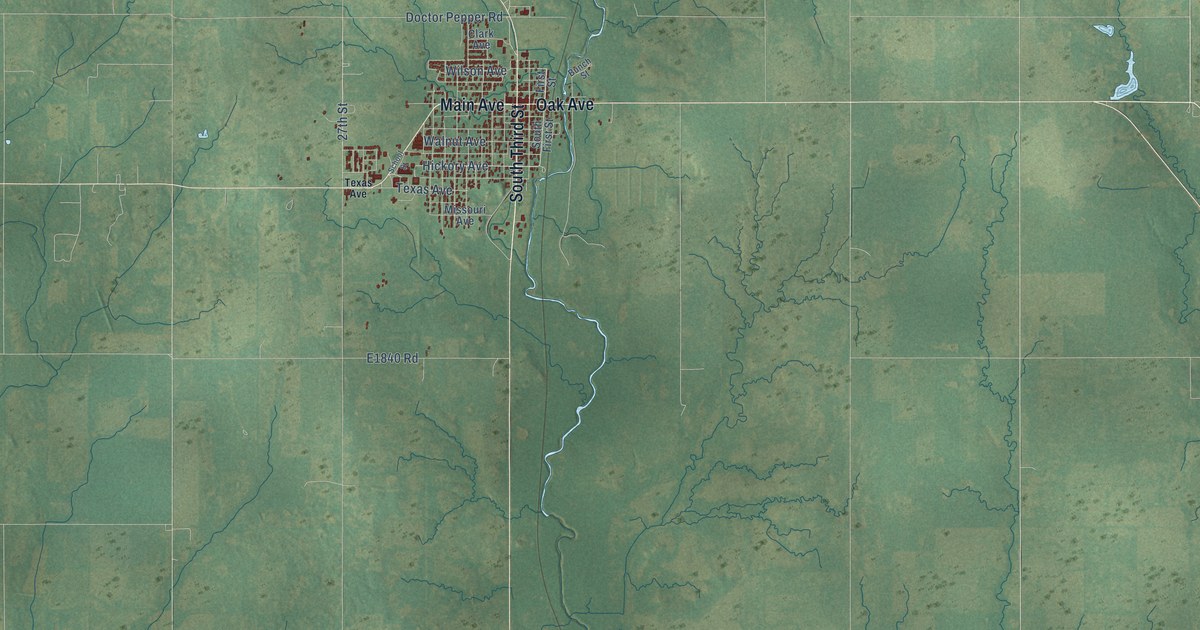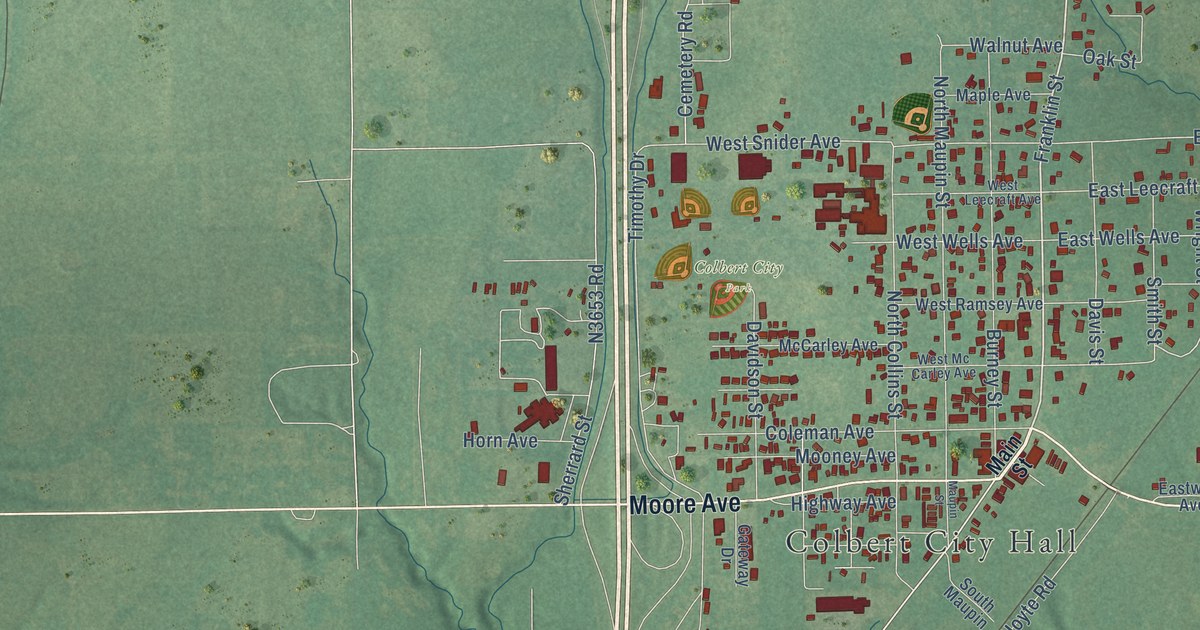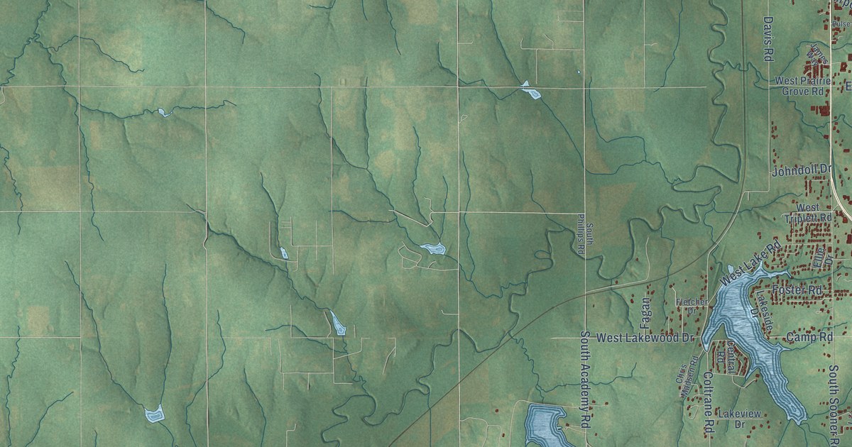
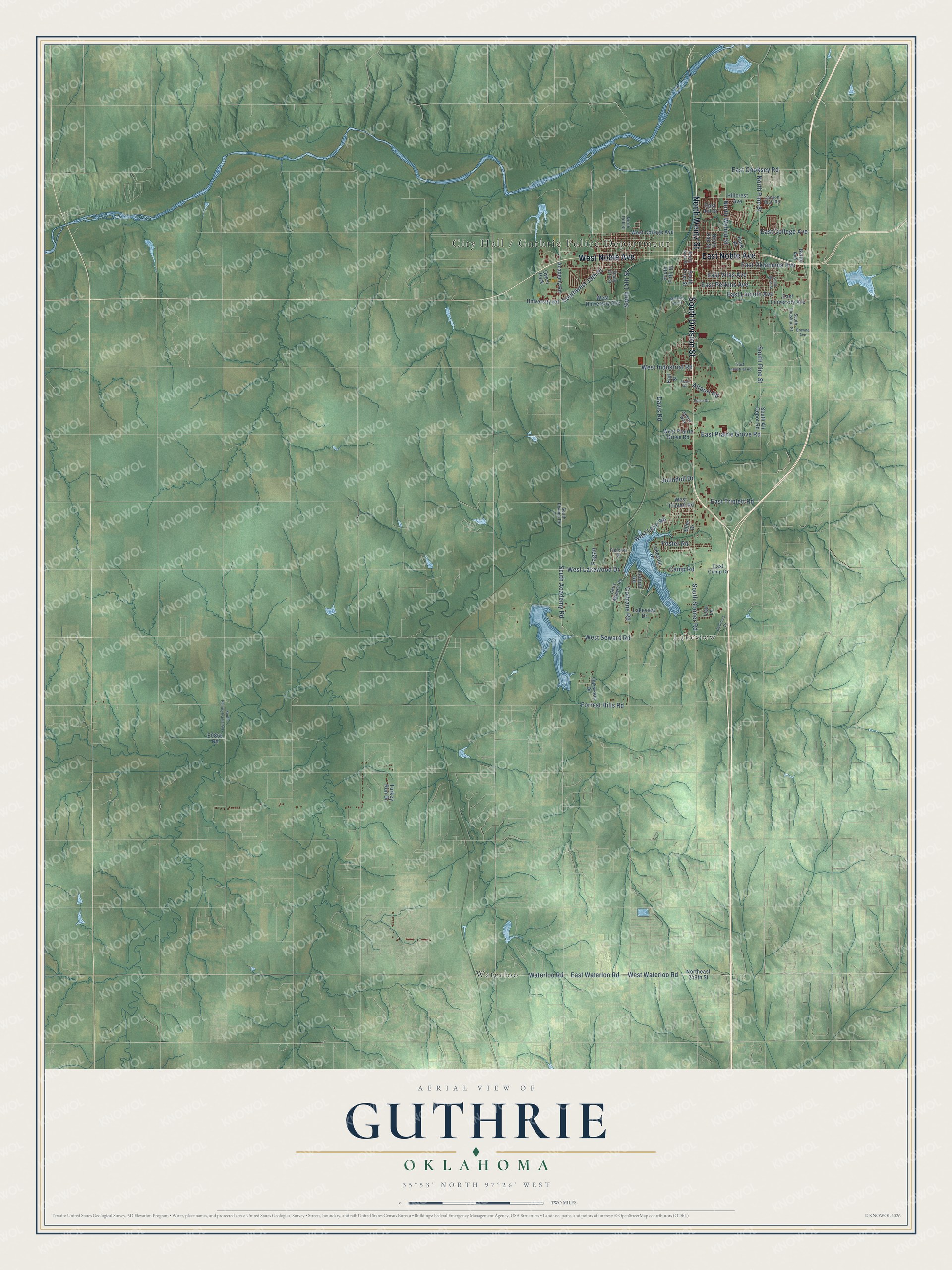
This beautifully detailed map of Guthrie, Oklahoma was created in 2026 using aerial imagery combined with modern topographical, census, street and landmark data. It's a modern aerial view of Guthrie in Logan County, Oklahoma, that combines modern data with a vintage aesthetic. The roads feature printed names, and if you look closely you can find your exact house accurately shown in its correct location.
Explore an aerial view of Guthrie, Oklahoma
On this map you'll find City Hall / Guthrie Police Department, Lakeview, Waterloo, South Division Street, East Noble Avenue, North Wentz Street, West Noble Avenue, East Oklahoma Avenue, Coltrane Road, South Pine Street, North Pine Street, East College Avenue, and more. Each red shape is a building, so zoom in on the preview and look for yours.
Every town has a first chapter, and Guthrie is no exception. The record at okhistory.org puts it this way: "Benjamin Harrison appointed George W. Steele, a Republican from Indiana, as the first territorial governor, and Guthrie was designated the territorial capital until 1913."
Guthrie is a city in Logan County.
Take a closer look at the Guthrie map
Names on this map
These names are printed on this map.
Places: Lakeview, Waterloo and Owen Park.
Streets and roads: South Division Street, East Noble Avenue, North Wentz Street, West Noble Avenue, East Oklahoma Avenue, Coltrane Road, South Pine Street, North Pine Street, East College Avenue, Forrest Hills Road, Waterloo Road, West Seward Road.
More street names, A to Z
Academy Road, Airport Road, Battle Avenue, Browne Avenue, Camp Road, Canyon Bluff Road, Central Road, Chris Madsen Road, Davis Road, East Camp Drive, East Cooksey Road, East Hill Drive, East Industrial Road, East Lincoln Avenue, East Perkins Avenue, East Prairie Grove Road, East Triplett Road, East University Avenue, East Vilas Avenue, East Waterloo Road, Ellie Drive, Fagan, Fletcher Drive, Foster Road, Hillcrest Avenue, James Way, Johndoll Drive, Karl Street, Lakeside Drive, Lakeview Drive, Lisa Lane, Mineral Wells, North 14th Street, Northeast 248th Street, North First Street, North Oak Street, North Walnut Street, Oakwood Drive, Park Place, Pulse Drive, Rush Road, Scurlock Drive, South 14th Street, South 17th Street, South Academy Road, South Air Depot Road, South Birch Street, South Chestnut Street, South Fifth Street, South First Street, South Pennsylvania Avenue, South Phillips Road, South Sooner Road, Southwest 19th Street, Turkey Run Drive, University Road, West College Avenue, West Industrial Road, West Lake Road, West Lakewood Drive, West Prairie Grove Road, West Triplett Road, West University Avenue, West Waterloo Road.
Created by KNOWOL in 2026. The buildings are small red shapes, the roads carry their printed names, and shaded relief shows the shape of the land. The title panel reads "AERIAL VIEW OF GUTHRIE OKLAHOMA" with 35°53' NORTH 97°26' WEST.
Hang it in the hallway, the office or the cabin, or give it to someone who left Guthrie and still calls it home. Open the preview and look for a street you know. See sizes and frames for the Guthrie map.