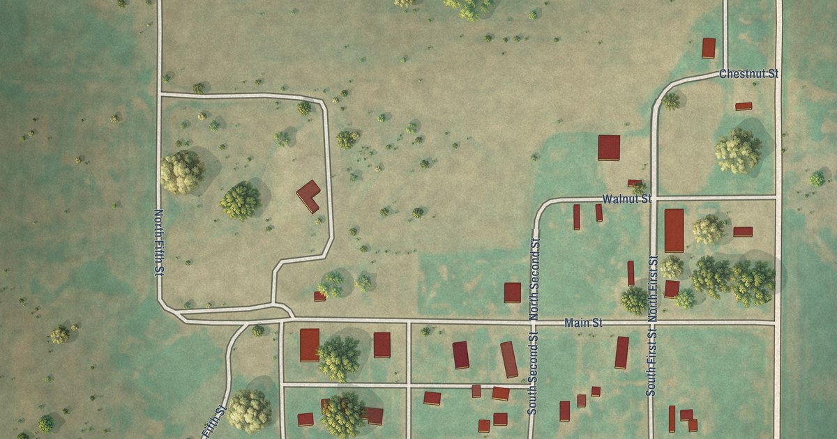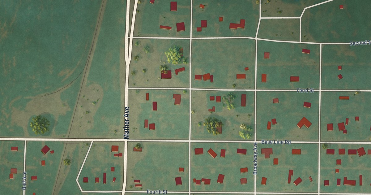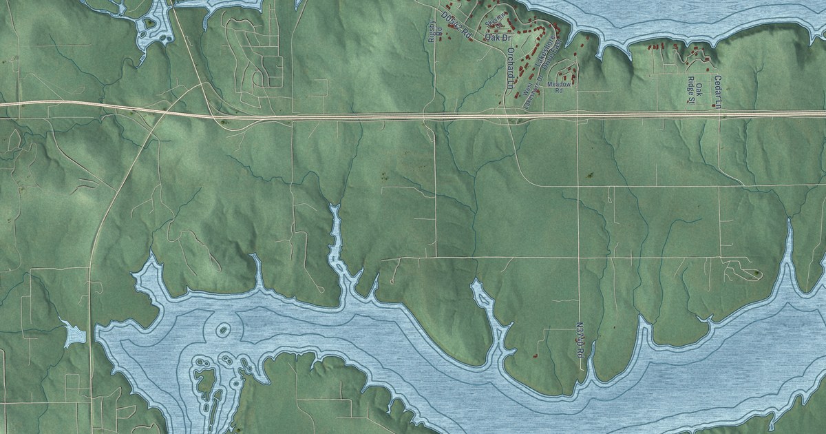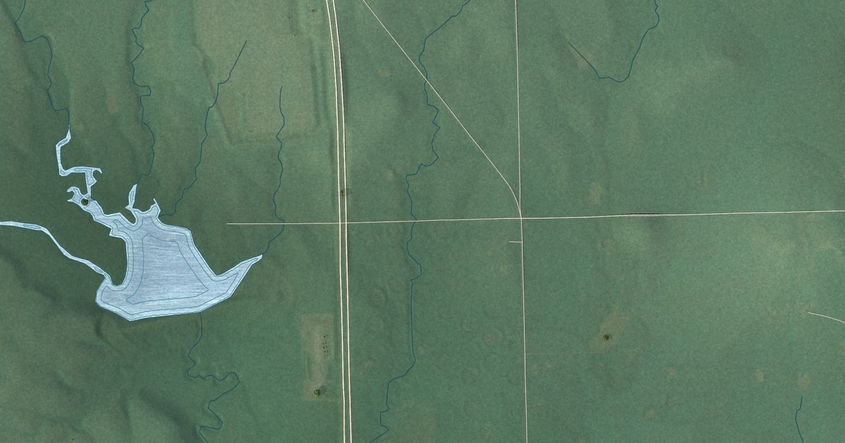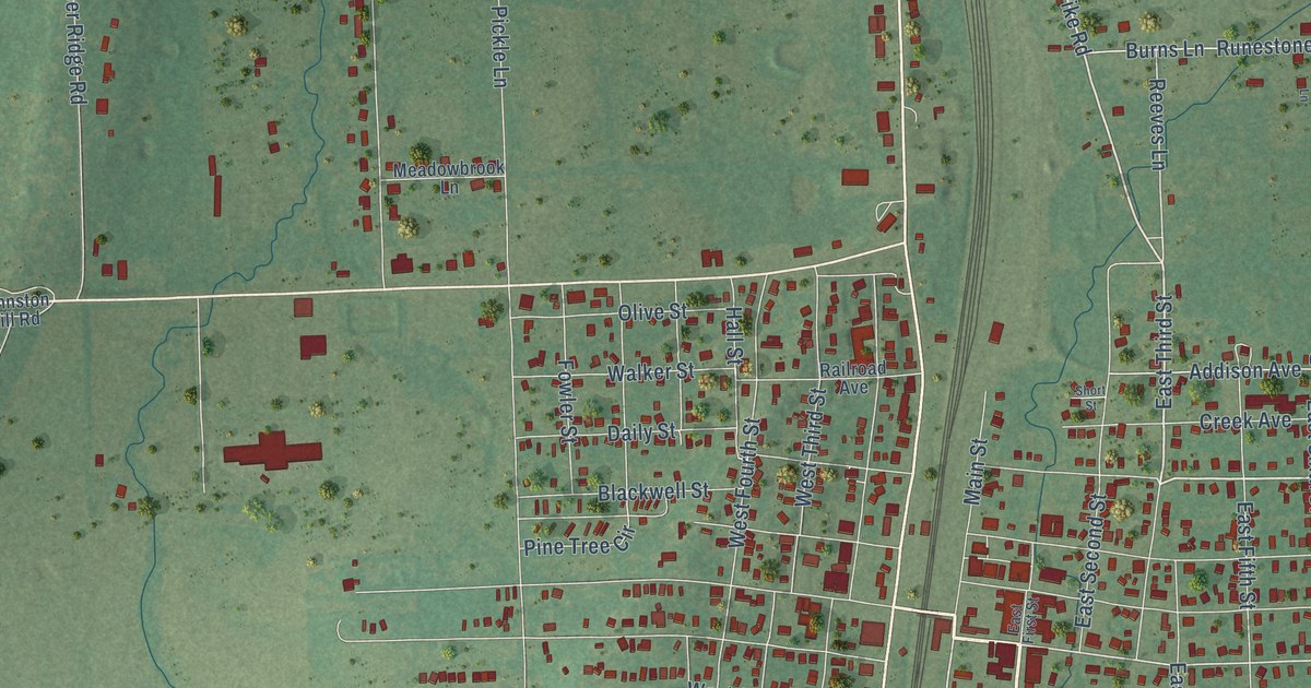
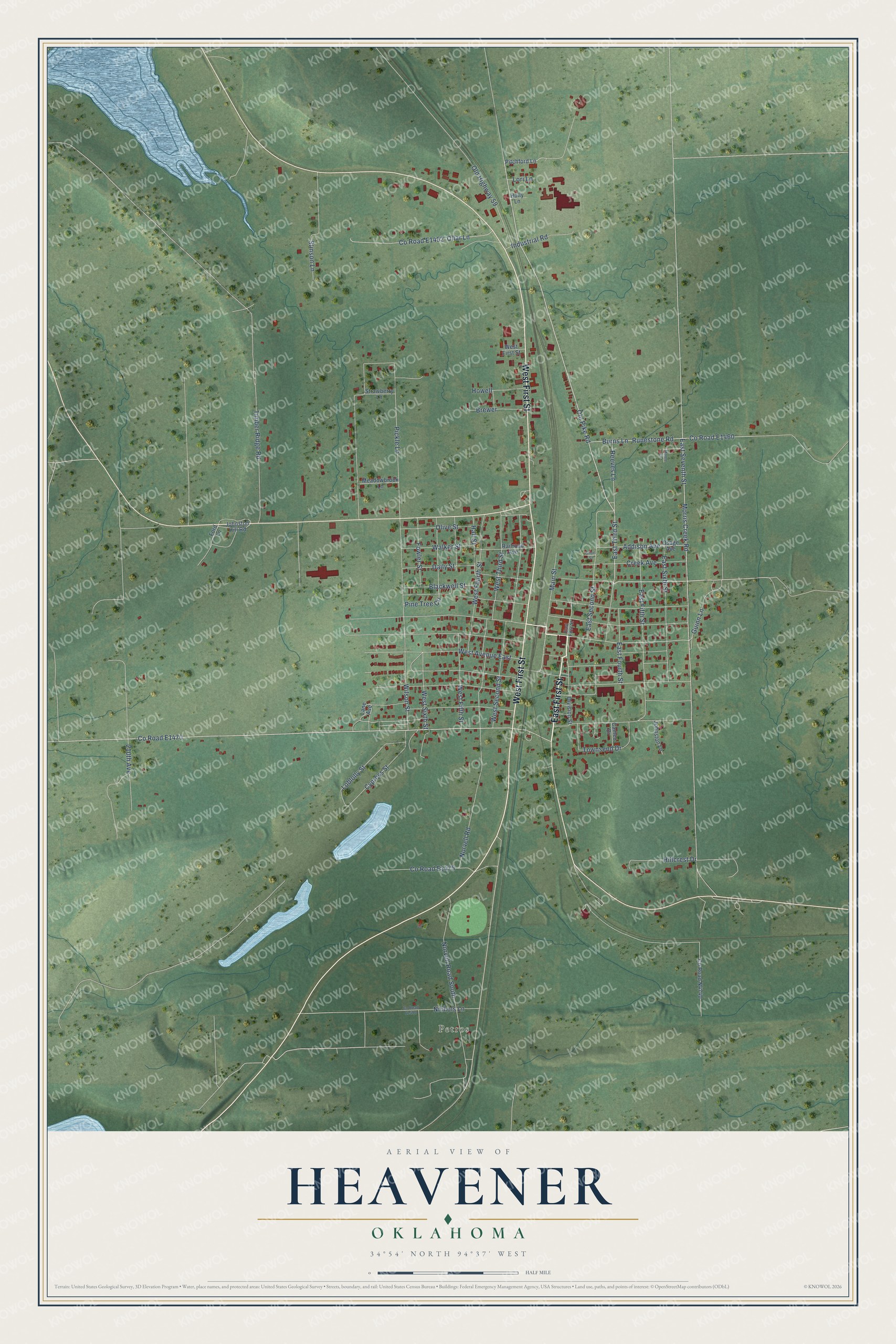
This beautifully detailed map of Heavener, Oklahoma was created in 2026 using aerial imagery combined with modern topographical, census, street and landmark data. It's a modern aerial view of Heavener in Le Flore County, Oklahoma, that combines modern data with a vintage aesthetic. The roads feature printed names, and if you look closely you can find your exact house accurately shown in its correct location.
Explore an aerial view of Heavener, Oklahoma
On this map you'll find Petros, East First Street, West First Street, Old Pike Road, East Third Street, Main Street, Co Road E1470, Reeves Lane, Hall Street, Loblolly Street, Burns Lane, Morris Creek Road, and more. Each red shape is a building, so zoom in on the preview and look for yours.
Heavener has a story worth telling. The record at okhistory.org puts it this way: "Lying within the former Choctaw Nation, Heavener is named for Joseph H. Heavener, who arrived in 1877 and was one of the area's earliest white settlers."
Heavener is a city in Le Flore County.
Take a closer look at the Heavener map
Names on this map
These names are printed on this map.
Places: Petros.
Streets and roads: East First Street, West First Street, Old Pike Road, East Third Street, Main Street, Reeves Lane, Hall Street, Loblolly Street, Burns Lane, Morris Creek Road, Pickle Lane, East Seventh Street.
More street names, A to Z
210th Avenue, Addison Avenue, Blackwell Street, Brewer, Cameo Drive, Creek Avenue, Cypress Street, Daily Street, Division Street, East Fifth Street, East Fourth Street, East Second Street, East Sixth Street, Ford Lane, Fowler Street, Guinn Lane, Hillcrest Drive, Holly Lane, Howell, Industrial Road, Johnston Hill Road, Johnston Lane, Lane Avenue, Lori Lane, Maple Lane, Meadowbrook Lane, Nichols Lane, Norvell Road, Norvell Road South, Old Highway 59, Olive Street, Ollar Lane, Osage Avenue, Pine Tree Circle, Pitchford Lane, Railroad Avenue, Runestone Road, Short Street, Stinson Lane, Strawberry Lane, Timber Ridge Road, Townsend Drive, Walker Street, West Avenue East, West Fifth Street, West Fourth Street, West Second Street, West Sixth Street, West Third Street, Wilson Street.
Created by KNOWOL in 2026. The buildings are small red shapes, the roads carry their printed names, and shaded relief shows the shape of the land. The title panel reads "AERIAL VIEW OF HEAVENER OKLAHOMA" with 34°54' NORTH 94°37' WEST.
It looks right in a kitchen, an office or a den, and it's a gift for anyone who grew up in Heavener or moved away. Open the preview and find your street. See sizes and frames for the Heavener map.