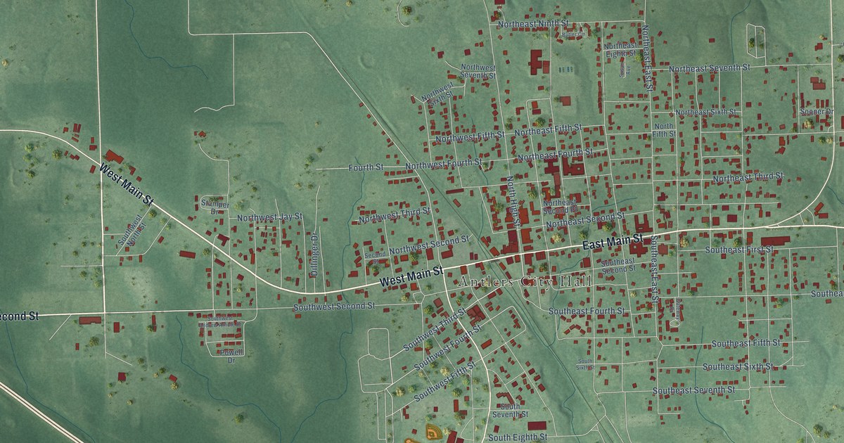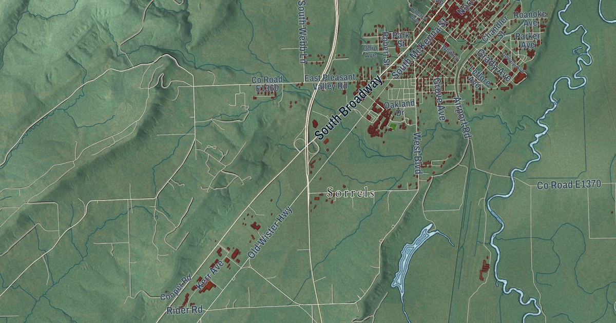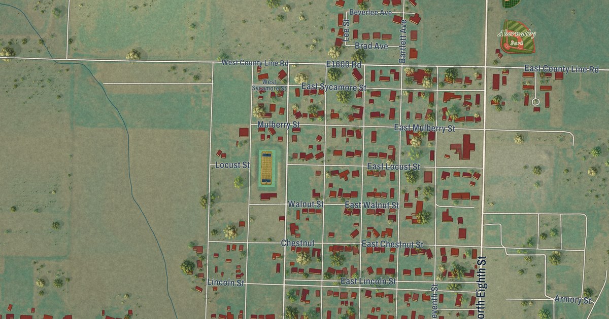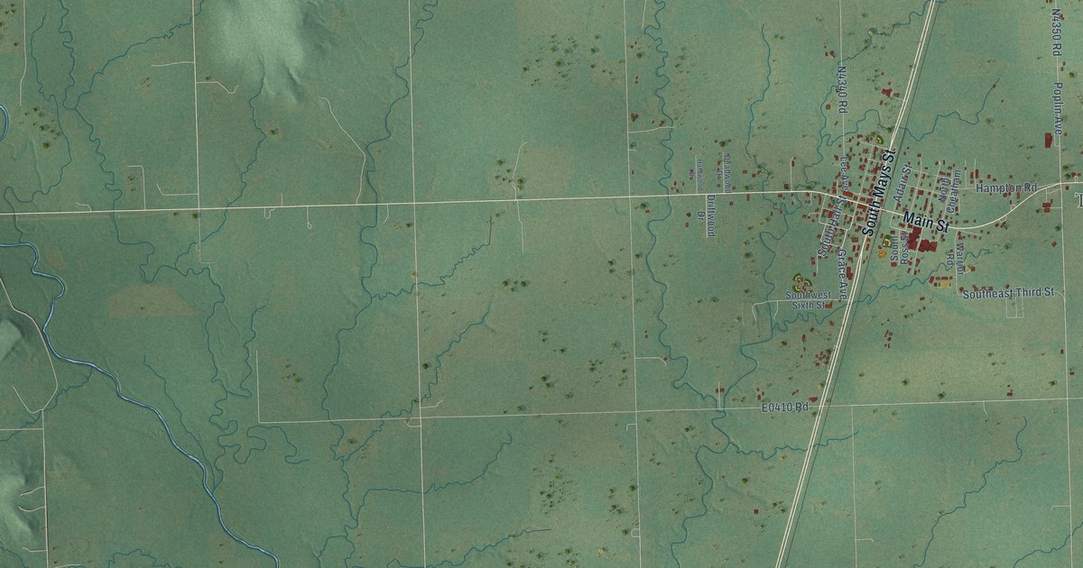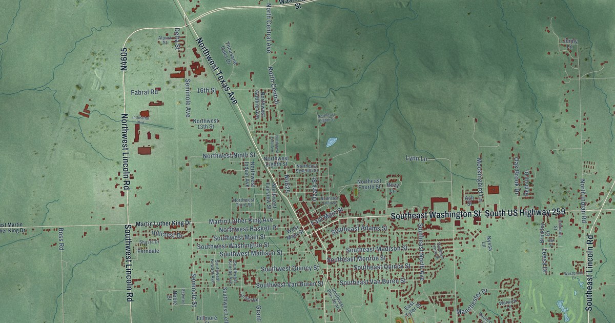
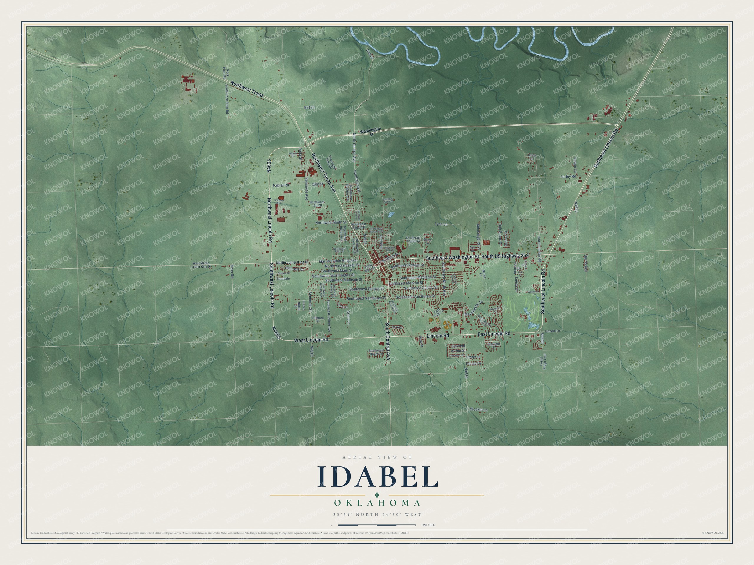
This beautifully detailed map of Idabel, Oklahoma was created in 2026 using aerial imagery combined with modern topographical, census, street and landmark data. It's a modern aerial view of Idabel in McCurtain County, Oklahoma, that combines modern data with a vintage aesthetic. The roads feature printed names, and if you look closely you can find your exact house accurately shown in its correct location.
Explore an aerial view of Idabel, Oklahoma
On this map you'll find N4605, Northwest Texas, Southeast Washington Street, Northwest Lincoln Road, Northwest Texas Avenue, Southeast Lincoln Road, Southwest Lincoln Road, Northeast Lincoln Road, East Lincoln Road, West Lincoln Road, Lincoln Road, South US Highway 259, and more. Each red shape is a building, so zoom in on the preview and look for yours.
Here is a piece of Idabel history, in the words of the record. The record at okhistory.org puts it this way: "Railroad officials then chose the name Idabel, a compound of the names of Isaac Purnell's two daughters, Ida and Bell (sometimes given as Belle)."
Idabel is a city in McCurtain County.
Take a closer look at the Idabel map
Names on this map
These names are printed on this map.
Streets and roads: Northwest Texas, Southeast Washington Street, Northwest Lincoln Road, Northwest Texas Avenue, Southeast Lincoln Road, Southwest Lincoln Road, Northeast Lincoln Road, East Lincoln Road, West Lincoln Road, Lincoln Road, South US Highway 259, South Central Avenue.
More street names, A to Z
16th Street, Alpina Street, Arthur Street, Ash Street, Blocker Lane, Boss Road, Brinkley Drive, Burris Avenue, Cleveland Street, Delta Street, East Main Street, East Tyler Street, Fabral Road, Farley Road, Ferndale, Fillmore Street, Fossil Ridge Trail, Garfield, Grant Lane, Hillcrest Drive, Hope Street, Industrial Boulevard, Jenny Lane, Johnson Street, Leesa Drive, Lincoln Lane, Lyndon Road, Lynn Lane, Manchester Drive, Martin Luther King Avenue, Martin Luther King Drive, Mockingbird Lane, Noble Street, North Central, North Central Avenue, Northeast Eighth Street, Northeast Fourth Street, Northeast Seventh Street, Northeast Third Street, North Indian Road, Northwest 13th Street, Northwest Eighth Street, Northwest Enid Avenue, Northwest Fairview Street, Northwest Guthrie Avenue, Northwest Haskell Place, Northwest Indian Avenue, Northwest Ninth Street, Northwest Third Street, Nyssa Lane, Oak Brook Drive, Oak Street, Ozark Street, Park Drive, Pawnee, Pecan Drive, Redbird Drive, Rock Plant Road, Rozy Lane, Seminole Avenue, Seminole Street, Shasta Drive, South Country Club Drive, Southeast Adams Street, Southeast Bois de Arc, Southeast Harris Drive, Southeast Madison Street, Southeast Monroe Street, Southeast North Avenue, Southeast Quincy Street, Southeast Van Buren Street, South Rock Plant Road, Southwest Hayes Lane, Southwest Howard Avenue, Southwest Kansas Avenue, Southwest Leflore Avenue, Southwest Madison Street, Southwest Main Street, Southwest Quincy Street, Southwest Van Buren Street, Southwest Washington Street, Starlight Street, Thousand Oaks Drive, Timber Lane, Tipton Lane, Warwick Lane, Washington Street, Westbrook Drive, West Main Street, West Martin Luther King Drive.
Created by KNOWOL in 2026. The buildings are small red shapes, the roads carry their printed names, and shaded relief shows the shape of the land. The title panel reads "AERIAL VIEW OF IDABEL OKLAHOMA" with 33°54' NORTH 94°50' WEST.
It suits a den, a classroom or a front hall, and it makes a gift for anyone with Idabel roots. Open the preview and find the block you know. See sizes and frames for the Idabel map.