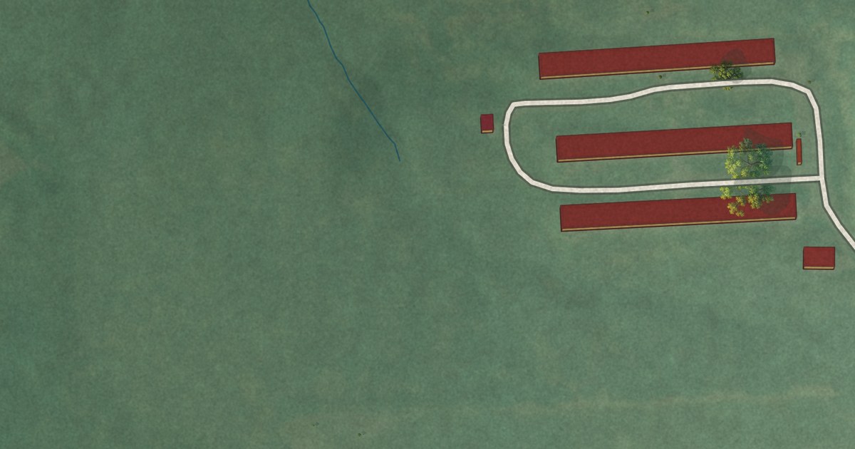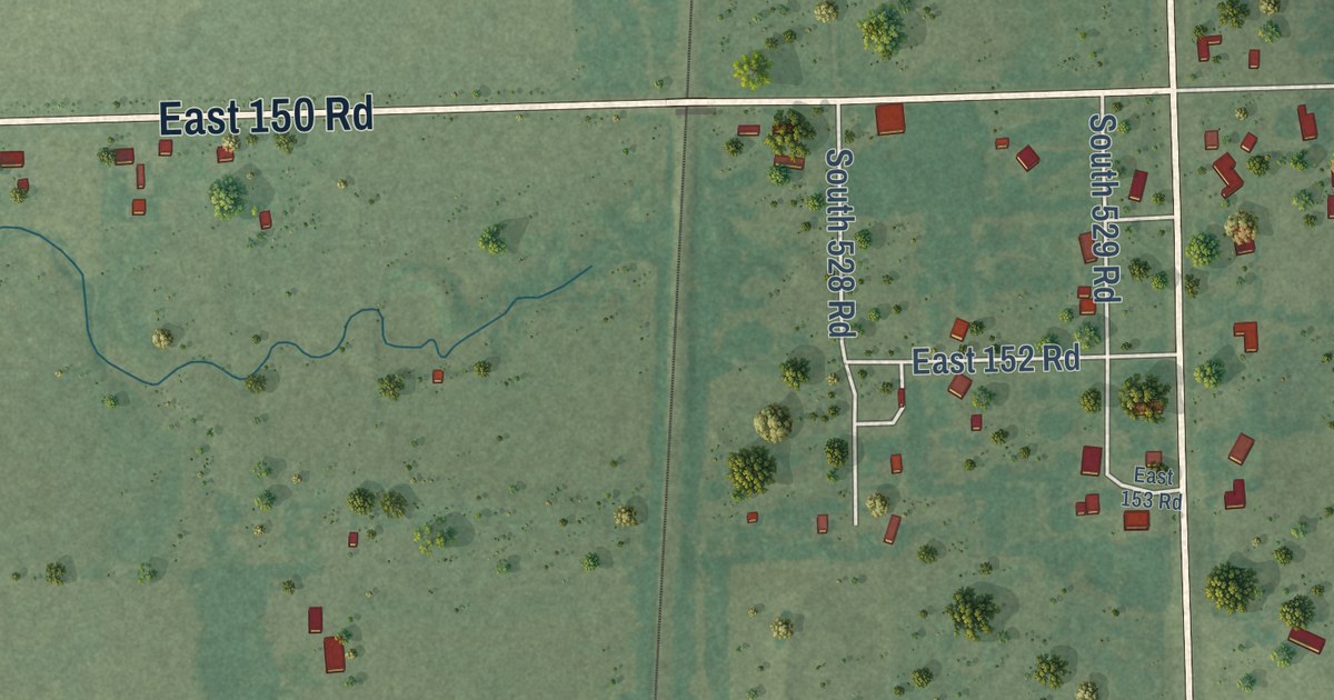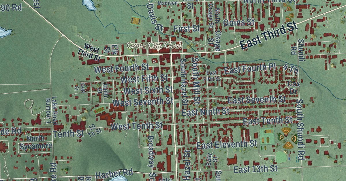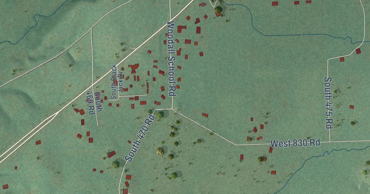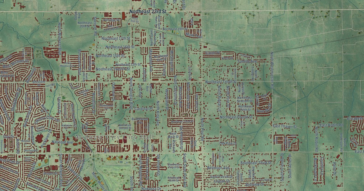
This beautifully detailed map of Midwest City, Oklahoma was created in 2026 using aerial imagery combined with modern topographical, census, street and landmark data. It’s a one-of-a-kind view of Midwest City that combines accurate data with a vintage aesthetic. The map shows every building in its true location, many of the roads carry their names, and the shaded topographic relief shows the shape of the land.
Explore an aerial view of Midwest City, Oklahoma
On the map you’ll find Northeast 23rd Street, North Key Boulevard, East Key Boulevard, Key Boulevard, Bella Vista Drive, East Lockheed Drive, North Lotus Avenue, Country Club Terrace, West Idylwild Drive, Republic Avenue, Rulane Drive, Southeast 15th Street, and more. If you look closely you can even find your house accurately drawn in its correct location. Zoom in on the preview to look for yours.
Did you know this piece of Midwest City, Oklahoma history?
From the Oklahoma Historical Society: "In 1948 Midwest City citizens voted to change their form of government to a charter-council-city manager form to manage the continuing growth."
Midwest City is a city in Oklahoma County.
Take a closer look at the Midwest City map
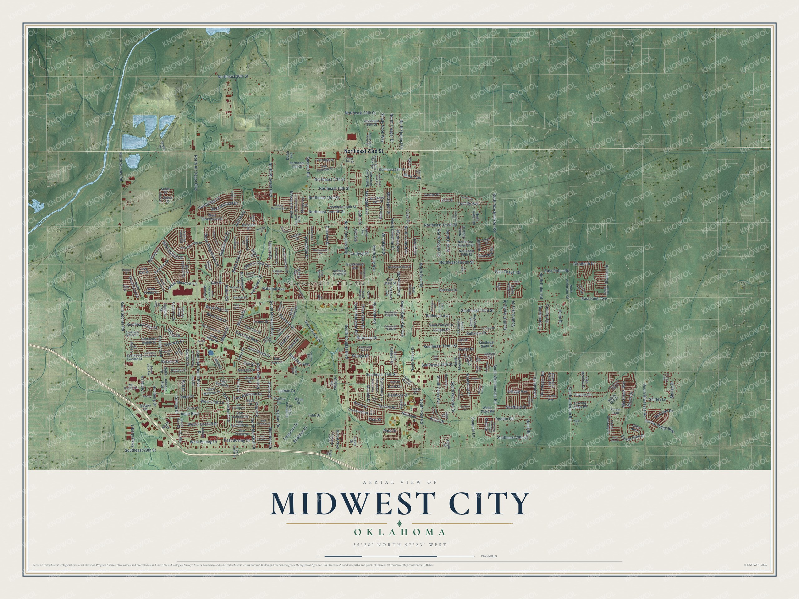
Street and place names on the Midwest City, Oklahoma map
These names are printed on the map of Midwest City, Oklahoma.
Places: Midwest City City Hall.
Streets and roads: Northeast 23rd Street, North Key Boulevard, East Key Boulevard, Key Boulevard, Bella Vista Drive, East Lockheed Drive, North Lotus Avenue, Country Club Terrace, West Idylwild Drive, Republic Avenue, Rulane Drive, Southeast 15th Street.
More street names, A to Z
Adair Boulevard, Alan Lane, Albert Drive, Alicia Drive, Apple Drive, Arnold Drive, Arthur Drive, Ashton Terrace, Babb Drive, Belaire Drive, Bellavista, Bell Drive, Bellmont Avenue, Bellview Drive, Berry Lane, Beth Drive, Big Oak Drive, Bizzell Avenue, Blossom Drive, Blue Sky Drive, Bonaparte Boulevard, Bowman Drive, Brack Place, Bradley Circle, Brook Drive, Brookside Drive, Brookwood Avenue, Brown Drive, Buckboard Lane, Buena Vista Avenue, Cambridge Drive, Cardinal Place, Carolyn Drive, Caton Place, Cedar Street, Celina Drive, Center Drive, Century Boulevard, Char Lane, Chaucer Crescent, College Drive, Country Club Circle, Country Lane, Crabtree Cv, Crest Drive, Crosby Boulevard, Damron Drive, Davidson Road, Del Rey Drive, Dolph Avenue, Dorchester Road, Draper Drive, East Atkinson Drive, East Boeing Drive, East Coe Drive, East Curtis Drive, East Douglas Drive, East Fairchild Drive, East Gill Drive, East Grumman Drive, East Harmon Drive, East Kerr Drive, East Kittyhawk Drive, East Main Street, East Myrtle Drive, East Parkridge Drive, East Reno Avenue, East Robin Road, East Rose Drive, East Steed Drive, East Sun Street, East Thayer Street, East Towry Drive, Elizabeth Drive, Elm Street, Engle Road, Esther Avenue, Felix Drive, Felix Place, Ferguson Drive, Finley Drive, Flannery Drive, Forest Crossing Drive, Forest Glen Drive, Forest Trail, Foster Place, Foxhorn Circle, Gayle Drive, Givens Drive, Glen Aeire, Global Parkway, Goldenrod Lane, Grandview Road, Green Oak Drive, Guy Drive, Hand Road, Harmony Drive, Harr Drive, Haven Drive, Helm Drive, Heritage Place, Highland Road, High Meadow Drive, Hillridge Drive, Hilltop Road, Holman Place, Holoway Drive, Hudiburg Drive, Huntington Road, Jaycie Circle, Jean Road, Jet Drive, Jim White Drive, Job Avenue, Johnson Boulevard, Kent Drive, Koch Drive, Kristie Lane, Kudu Street, Lakeside Drive, Larkin Lane, Leisure Drive, Lejean Drive, Le Jean Drive, Lexi Court, Liberty Parkway, Lisa, Live Oak Drive, Lloyd Avenue, Lloyd Drive, Locust Drive, Loftin Drive, Loman Drive, Lorene Avenue, Lynn Fry Boulevard, Lyric Lane, Magnolia Lane, Maple Drive, Mark Trail, Marlow Drive, Marydale Avenue, McGregor Drive, Meadow Lane, Meadow Lark Lane, Meadowpark Drive, Melody Drive, Mill Creek Way, Mockingbird Lane, Moiselle Street, Monroney Drive, Moraine Avenue, Morningside Drive, Morris McGee Drive, Mosley Road, Murray Drive, National Avenue, Native Hill Drive, Nawassa Drive, North Air Depot Boulevard, North Anderson Road, North Blake Drive, North Cedar Drive, North Christine Drive, North Douglas Boulevard, Northeast 13th Street, Northeast 14th Street, Northeast 15th Street, Northeast 16th Street, Northeast 17th Street, Northeast 19th Street, Northeast 20th Street, Northeast 28th Street, Northeast 30th Street, Northeast 36th Street, Northeast Fifth Street, Northeast Fourth Street, Northeast Second Street, Northeast Seventh Street, Northeast Tenth Street, Northeast Third Place, Northeast Twelfth Street, North Glenhaven Drive, North Holman Court, North Idylwild Drive, North King Avenue, North Marshall Drive, North Meadow Lane, North Meadowood Drive, North Midwest Boulevard, North Outpost Drive, North Pine Street, North Poplar Lane, North Post Road, North Ridgewood Drive, North Robin Road, North Saint Luke Avenue, North Saint Mark Avenue, North Saint Peter Avenue, North Saint Peter Street, North Sooner Road, North Timber Road, North Towry Drive, North Trosper Drive, North Viewpoint Drive, North Westminster Road, Nottoway Drive, Oakhurst Drive, Oak Park Drive, Oak Tree Drive, Oakview Drive, Oakwood East Boulevard, Ocama Boulevard, Oelke Drive, Orchard Boulevard, Oxford Drive, Palmer Drive, Park Drive, Parke Avenue, Parklawn Drive, Park Place, Parkwoods Lane, Parkwoods Terrace, Pear Street, Penny Drive, Pinehurst Drive, Proctor Place, Quinn, Railroad, Rain Tree Lane, Red Oak Drive, Reed Place, Reiter Drive, Remington Avenue, Rhythm Road, Richards Avenue, Ridgehaven Drive, Robin Road, Roefan Road, Rolling Lane, Rolling Lane Circle, Rolling Meadows Boulevard, Sable Street, Saint John Avenue, Saint Patrick Drive, Sandra Drive, Sara Court, Serenade Drive, Shadybrook Drive, Shady Nook Way, Shapard Drive, Sheffield Street, Shell Drive, Shirley Drive, Shirley Lane, Short Street, Slim Drive, Snapper Lane, Songbird Lane, South Acres Drive, South Air Depot Boulevard, South Anderson Road, South Avery Avenue, South Bell Drive, South Caldwell Drive, South Debbie Lane, South Douglas Boulevard, Southeast 14th Street, Southeast 17th Street, Southeast 18th Street, Southeast 28th Street, Southeast 29th Street, Southeast Eighth Street, Southeast Eleventh Street, Southeast Fifth Street, Southeast Fourth Street, Southeast Ninth Street, Southeast Seventh Street, Southeast Sixth Street, Southeast Tenth Street, Southeast Third Street, Southeast Twelfth Street, South Fox Drive, South Friendly Drive, South Harr Drive, South Hiwassee Road, South Lawson Avenue, South Margene Road, South Meade Drive, South Midwest Boulevard, South Moore Avenue, South Post Road, South Saint Paul Avenue, South Sooner Road, South Texas Avenue, South Timber Lane, South Webster Drive, South Westminster Road, Spencer Road, Stahl Drive, Steed Drive, Stonecrop Drive, Stone Ridge Lane, Sunvalley Drive, Symphony Lane, Tara Drive, Thompson Drive, Thorton Drive, Three Oaks Drive, Timber Ridge Boulevard, Tim Drive, Timmons Drive, Tina Drive, Town Center Drive, Treat Drive, Trosper Road, Tubb Drive, Tumilty Avenue, Tumilty Terrace, Turtlewood River Road, Tuscany Ridge Road, Village Avenue, Wallis Lane, Waltz Way, Water Plant Road, Watts Drive, Webb Drive, West Blueridge Drive, West Boeing Drive, West Coe Drive, West Fairchild Drive, West Glen Court, West Jarman Drive, West Lilac Lane, West Michael Drive, West Mimosa Drive, West Peebly Drive, West Pratt Drive, West Rose Drive, West Silverwood Drive, Whispering Oak Drive, Wilkinson Drive, Willow Wind Drive, Will Rogers Road, Wilson Drive, Windsong Drive, Wonga Drive, Woodland Drive, Woodside Drive, Woodvale Drive, Zebra Street.
See the Midwest City, Oklahoma map on a wall
The Midwest City map as an 18 x 24 inch print in a black frame.

This beautifully detailed map of Midwest City makes an attractive addition to your office, library, or den, and it can even be used to teach children the geography and history of the area. It also makes a great gift for anyone who grew up in Midwest City or moved away. When you’re done exploring, click here to get your copy of the Midwest City map.