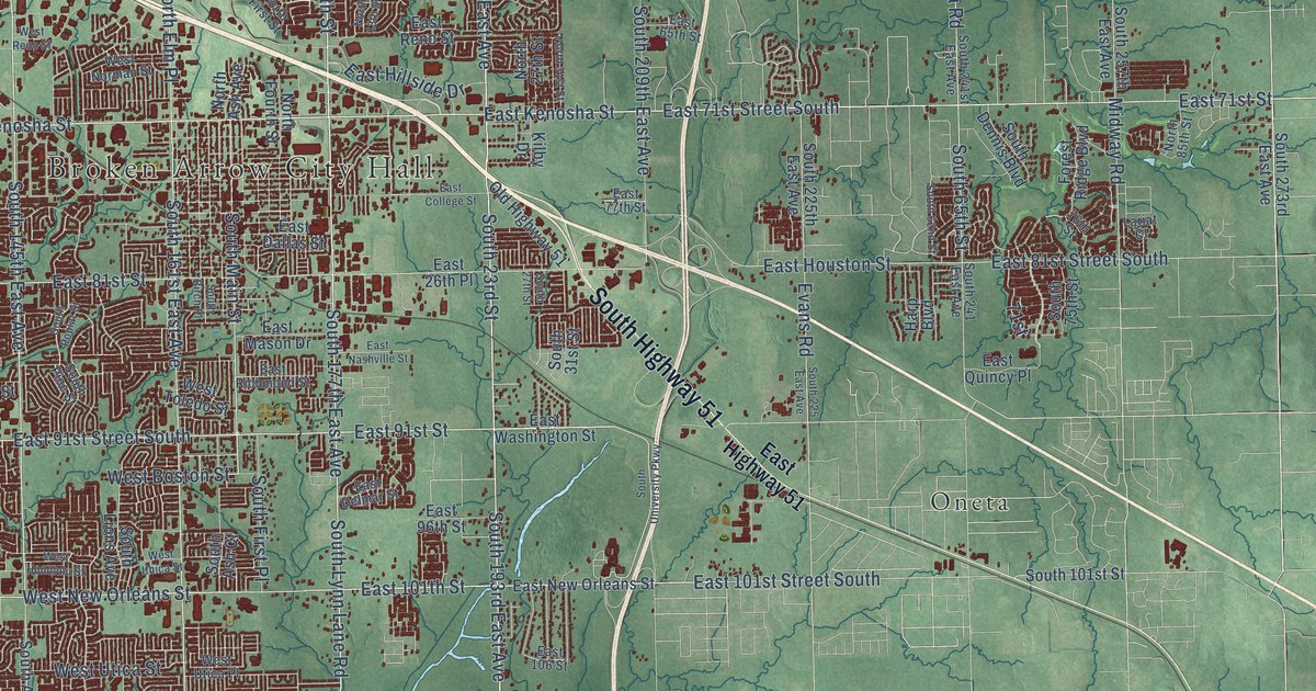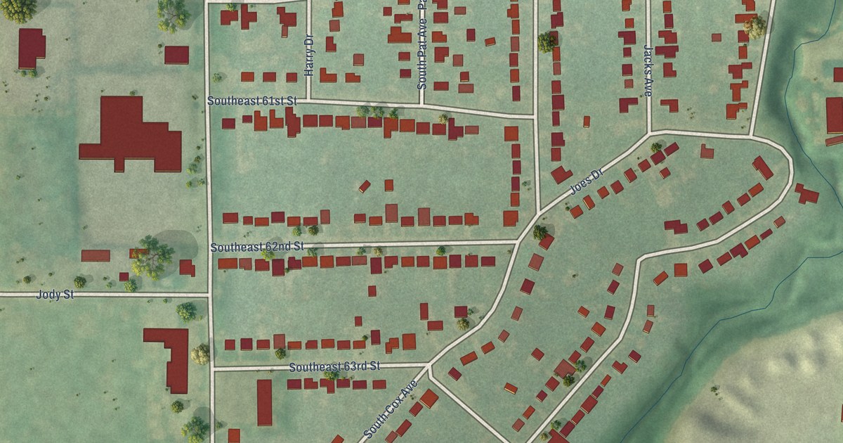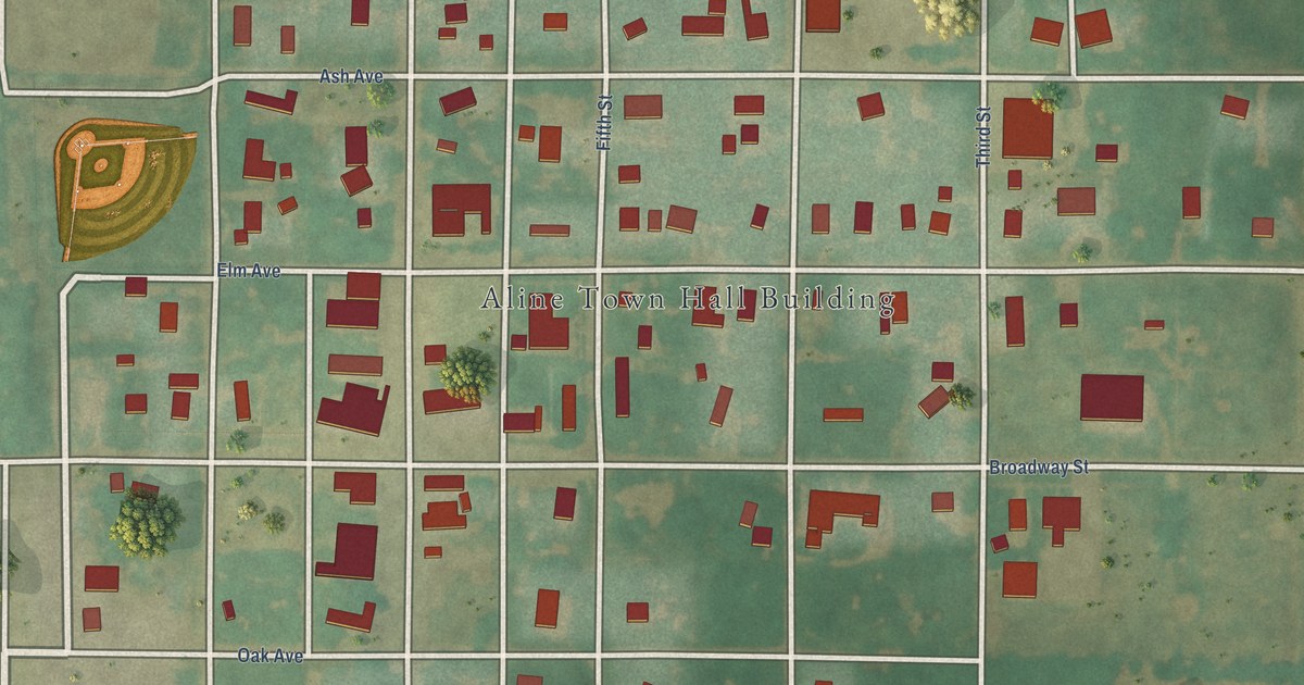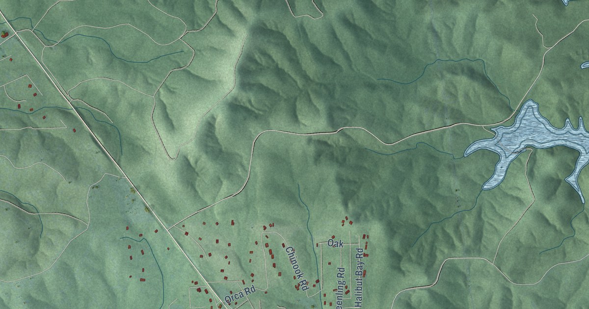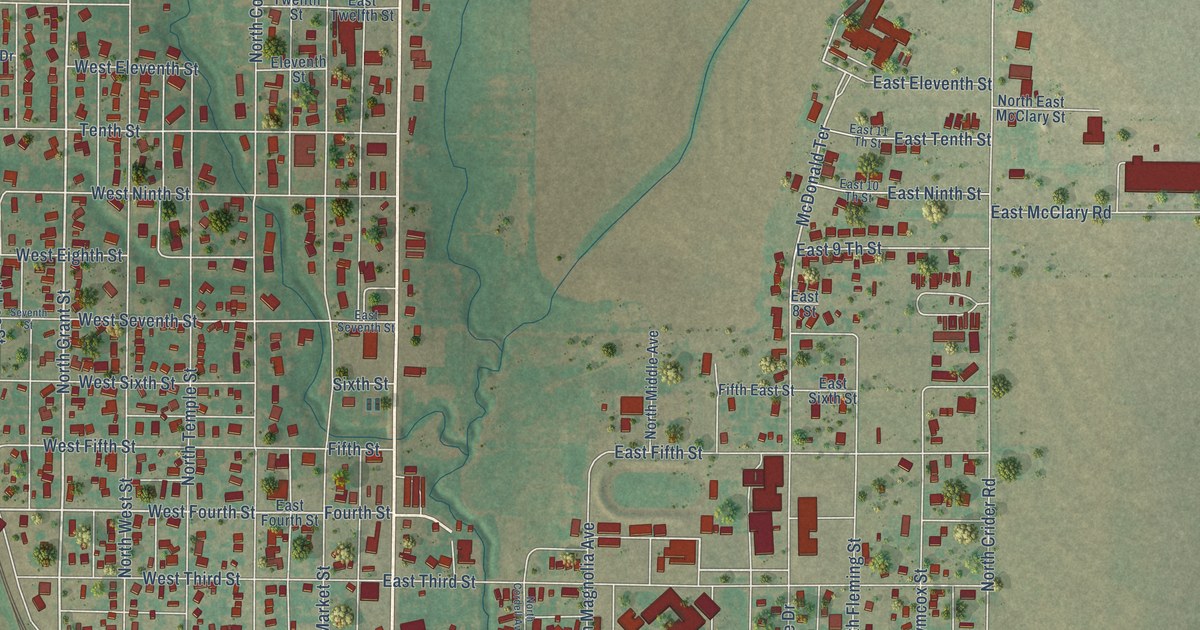
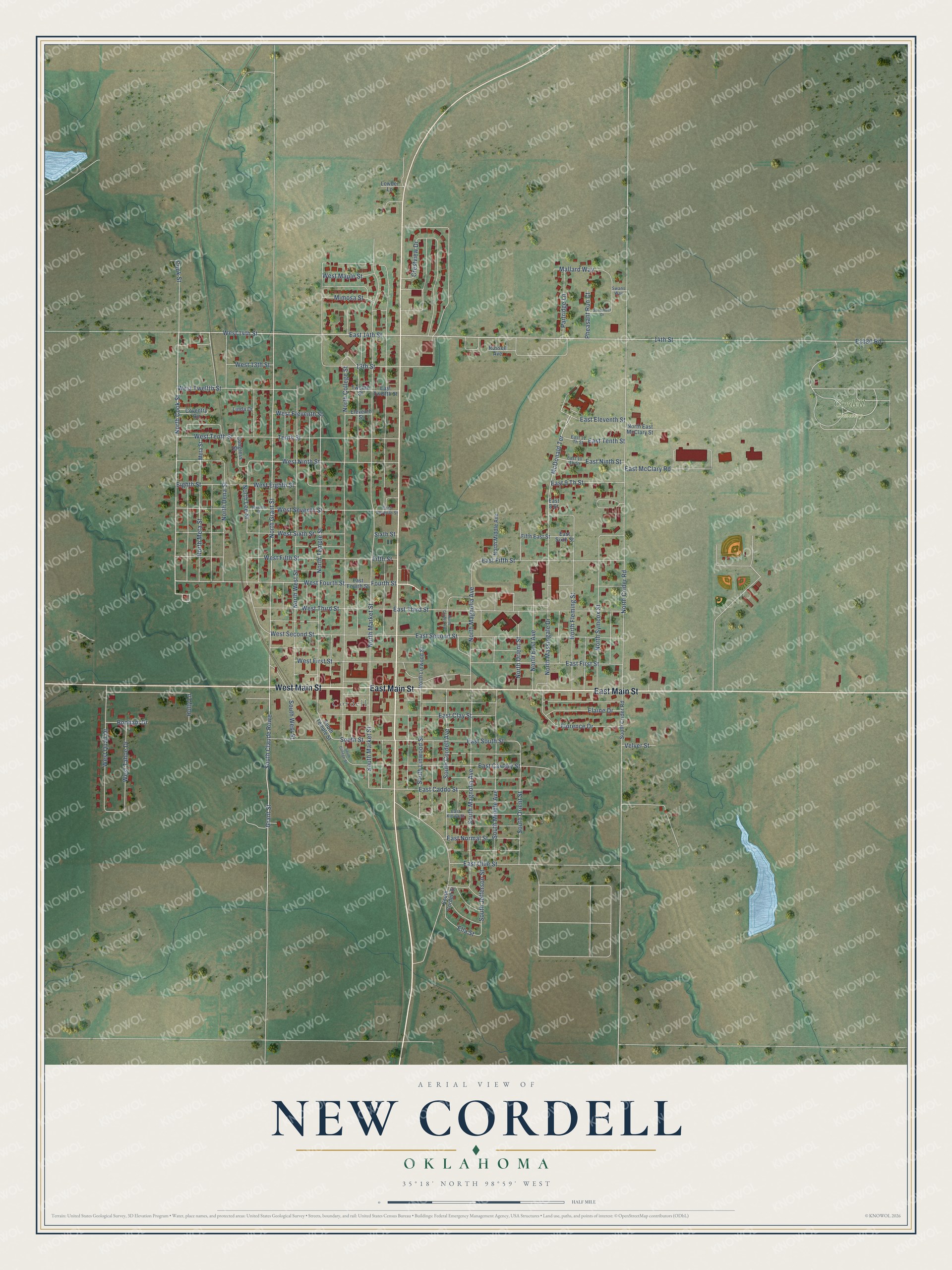
This beautifully detailed map of New Cordell, Oklahoma was created in 2026 using aerial imagery combined with modern topographical, census, street and landmark data. It's a modern aerial view of New Cordell in Washita County, Oklahoma, that combines modern data with a vintage aesthetic. The roads feature printed names, and if you look closely you can find your exact house accurately shown in its correct location.
Explore an aerial view of New Cordell, Oklahoma
On this map you'll find Cordell, Cordell Cemetery, East Main Street, West Main Street, North Cook Street, West 14th Street, 14th Street, East 14th Street, North Grant Street, Grant Street, West Fourth Street, McDonald Terrace, and more. Each red shape is a building, so zoom in on the preview and look for yours.
Every town has a first chapter, and New Cordell is no exception. The Oklahoma Historical Society puts it this way: "In 1897 A. J. Johnson and J. C. Harrel enticed Young to move his store and post office from Old Cordell, with a population of 250, to the location of the present city of New Cordell."
New Cordell is a city in Washita County.
Take a closer look at the New Cordell map
Names on this map
These names are printed on this map.
Places: Cordell and Cordell Cemetery.
Streets and roads: East Main Street, West Main Street, North Cook Street, West 14th Street, 14th Street, East 14th Street, North Grant Street, Grant Street, West Fourth Street, McDonald Terrace, West Seventh Street, South Market Street.
More street names, A to Z
13th Street, Bonham Drive, Congress Street, Cook Street, Coventry Circle, Crestview Drive, East 8 Street, East 9 Th Street, East 10 Th Street, East 11 Th Street, East Caddo Street, East Cavalry Street, East Clay Street, East Eleventh Street, East Fifth Street, East First Street, East Fourth Street, East Kiowa Street, East McClary Road, East Ninth Street, East Normal Street, East Ollie Street, East Second Street, East Seventh Street, East Sixth Street, East South Street, East Tenth Street, East Third Street, East Twelfth Street, Eighth Street, Elaine Drive, Eleventh Street, Ella Street, Fifth East Street, Fifth Street, Florence Drive, Fourth Street, Holly Lane, Linda Drive, Lowber Lane, Mallard Way, Meta Street, Mimosa Street, North College Street, North Cordell Avenue, North Crider Road, North Dena Street, North East Avenue, North East McClary Street, North Fleming Street, North Lee Street, North Linwood Street, North Magnolia Avenue, North Market Street, North Massingale Drive, North Meta Street, North Middle Avenue, North Orient Street, North Symcox Street, North Temple Street, North West Street, Partridge Lane, Pheasant Run Court, Russell Avenue, Sandpiper Drive, Seventh Street, Sixth Street, South Claude Rowe, South College Street, South Cordell Avenue, South Cordell Street, South Crider Road, South Jefferson Street, South Linwood Street, South Magnolia Avenue, South Middle Avenue, South Orient Street, South Street, South Temple Street, South West Street, Swans Way, Tenth Street, Twelfth Street, Velver Street, West 13th Street, West Eighth Street, West Eleventh Street, West Fifth Street, West First Street, West Maple Street, West Ninth Street, West Quail Drive, West Second Street, West Sixth Street, West Tahoe Drive, West Tenth Street, West Third Street, West Twelfth Street.
Created by KNOWOL in 2026. The buildings are small red shapes, the roads carry their printed names, and shaded relief shows the shape of the land. The title panel reads "AERIAL VIEW OF NEW CORDELL OKLAHOMA" with 35°18' NORTH 98°59' WEST.
Hang it in the hallway, the office or the cabin, or give it to someone who left New Cordell and still calls it home. Open the preview and look for a street you know. See sizes and frames for the New Cordell map.