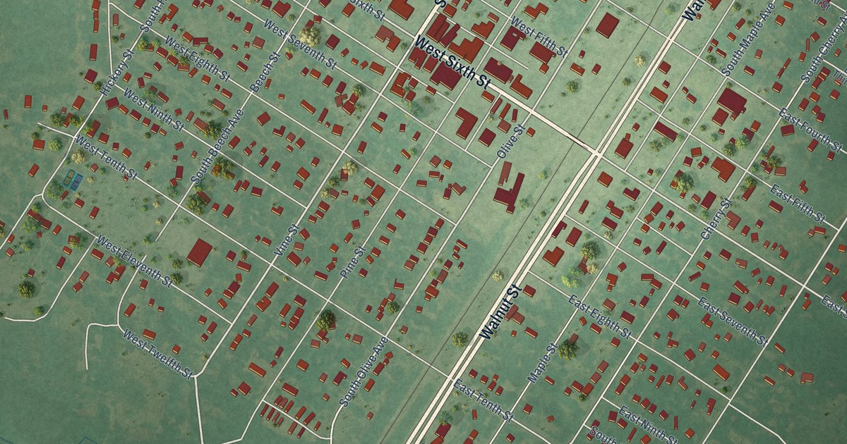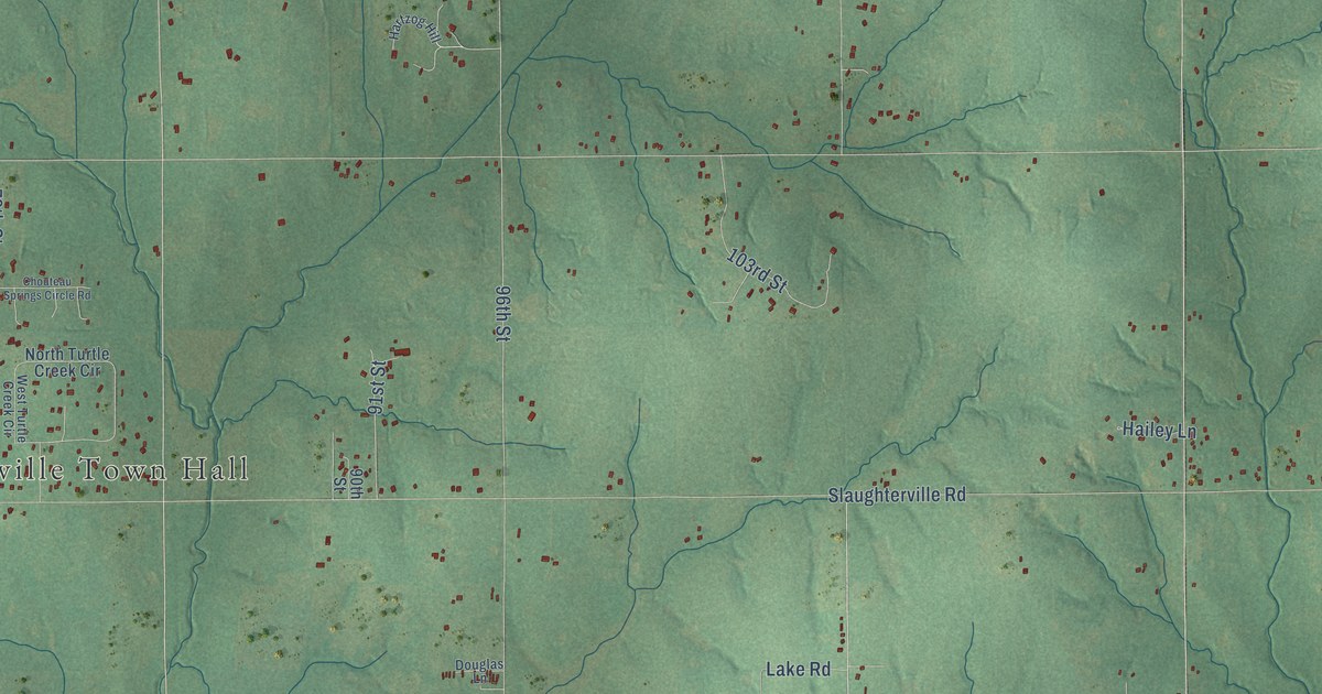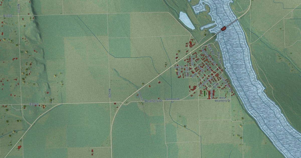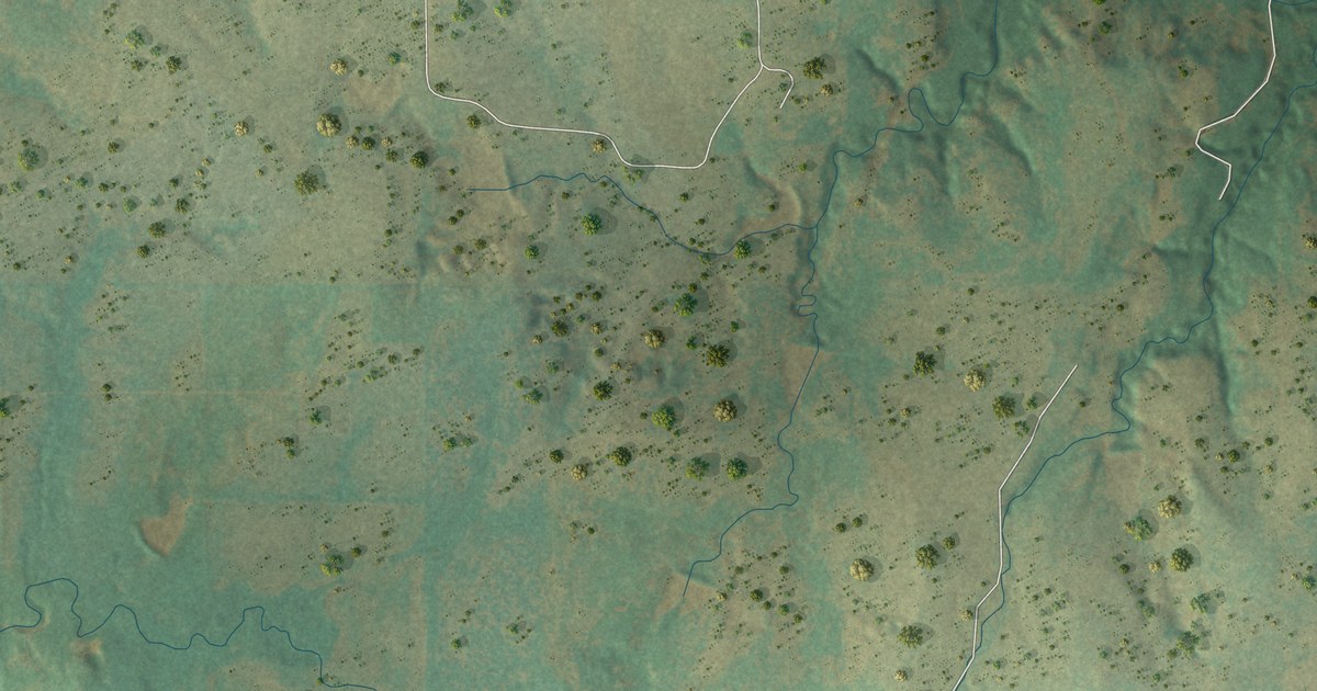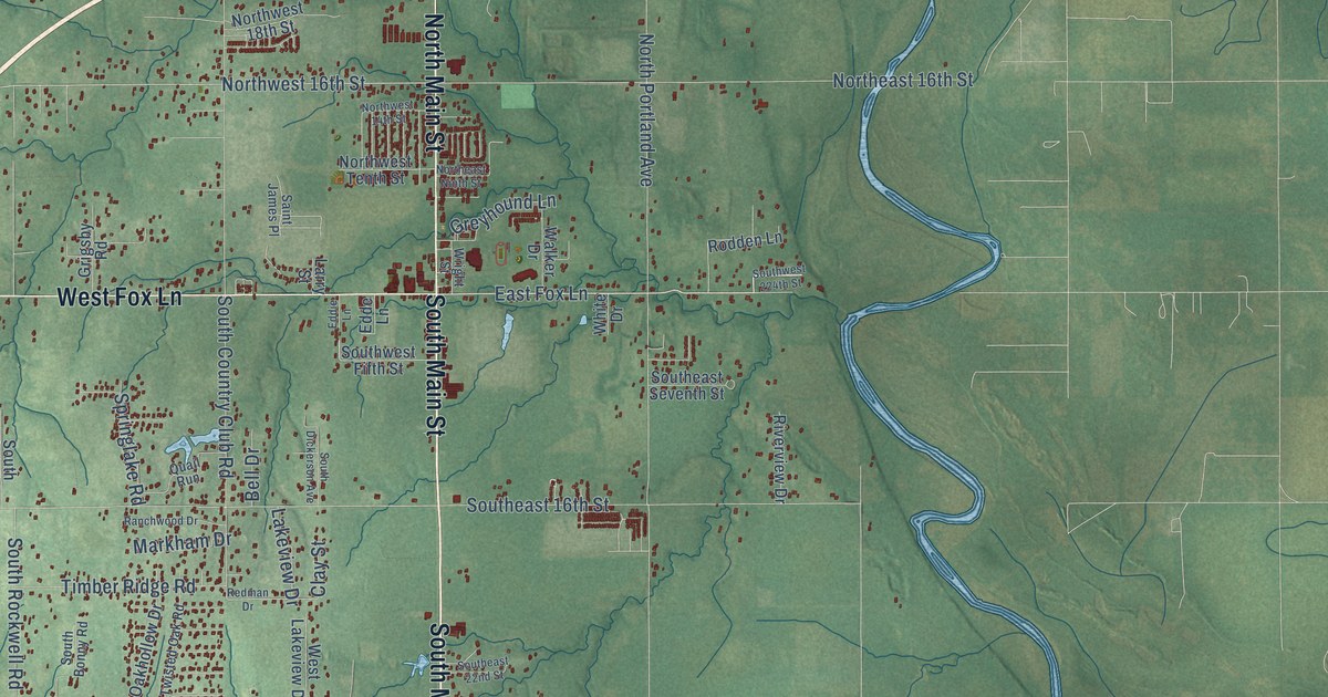
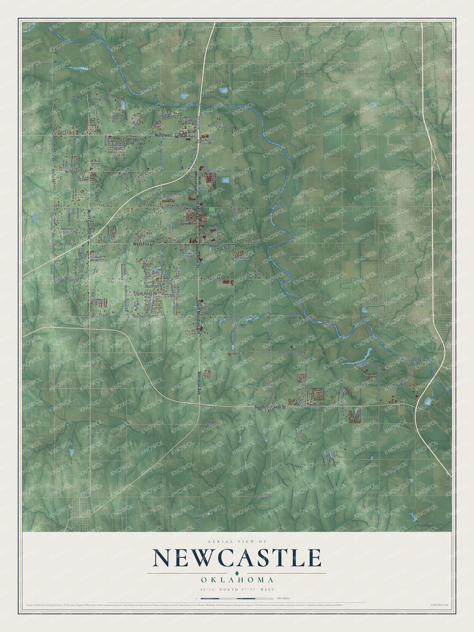
This beautifully detailed map of Newcastle, Oklahoma was created in 2026 using aerial imagery combined with modern topographical, census, street and landmark data. It's a modern aerial view of Newcastle in McClain County, Oklahoma, that combines modern data with a vintage aesthetic. The roads feature printed names, and if you look closely you can find your exact house accurately shown in its correct location.
Explore an aerial view of Newcastle, Oklahoma
On this map you'll find North Council Road, South Main Street, South Meridian Avenue, Meridian Avenue, Northwest 32nd Street, West Fox Lane, North Main Street, Southeast 44th Street, East Fox Lane, County Line Road, N2990 Road, West Golf Course Road, and more. Each red shape is a building, so zoom in on the preview and look for yours.
Here is a piece of Newcastle history, in the words of the record. The record at okhistory.org puts it this way: "The structure was Oklahoma's first federal aid project and a part of the Ozark Trail that was to link Oklahoma City to Amarillo, Texas."
Newcastle is a city in McClain County.
Take a closer look at the Newcastle map
Names on this map
These names are printed on this map.
Streets and roads: North Council Road, South Main Street, South Meridian Avenue, Meridian Avenue, Northwest 32nd Street, West Fox Lane, North Main Street, Southeast 44th Street, East Fox Lane, County Line Road, West Golf Course Road, North County Line Road.
More street names, A to Z
24th Avenue, 35th Place, 290th Street, 300th Street, 350th Street, Auburn Drive, Bell Drive, Bermuda Drive, Bradford Circle, Broad Acres Road, Brookfield Court, Bypass Road, Clay Street, Crystal Lake Road, Davis Lane, Eagle Lakes, East By-Pass Road, Edde Lane, Eddie Lane, Grant Drive, Greyhound Lane, Grigsby Road, Guinn Avenue, High Valley Road, Hill Drive, Hilltop Place, Jungle Road, Kindle Lane, Kirkham Drive, Lakeview Drive, Larry Street, Long Drive, Markham Drive, May Avenue, Neff Road, North Country Club Road, North Countyline Road, Northeast 16th Street, Northeast 21st Street, Northeast 24th Street, Northeast 31st Street, Northeast 34th Street, Northeast 85th Street, Northeast Ninth Street, North Meridian Avenue, North Portland Avenue, North Rockwell Avenue, Northwest 14th Street, Northwest 16th Street, Northwest 18th Street, Northwest 22nd Street, Northwest 24th Street, Northwest 26th Street, Northwest 30th Street, Northwest 35th Street, Northwest 36th Street, Northwest 40th Place, North West Oaks Drive, Northwest Sixth Street, Northwest Tenth Street, North Willow Drive, Oakhollow Drive, Park Place, Pulchella Way, Quail Run, Quest Court, Ranchwood Drive, Red Bud Lane, Redman Drive, Riley Road, Riverfront Drive, Riverview Drive, Rocky Road, Rodden Lane, Rose Lane, Saint James Place, Santa Fe Avenue, Sequoyah Lane, Sienna Ridge Drive, South Bonny Road, South Country Club Road, South County Line Road, South Dickerson Avenue, Southeast 16th Street, Southeast 22nd Street, Southeast 24th Street, Southeast 32nd Street, Southeast 37th Street, Southeast 40th Street, Southeast Seventh Street, South May Avenue, South Pennsylvania Avenue, South Portland Avenue, South Rockwell Avenue, South Rockwell Road, Southwest 16th Street, Southwest 21st Street, Southwest 24th Street, Southwest 224th Street, South Western Avenue, Southwest Fifth Street, Southwest Sixth Street, Springlake Road, Switchgrass Way, Timber Ridge Road, Tina Drive, Tori Lane, Twisted Oak Road, Walker Drive, Walnut Hill, West By-Pass Road, West Lakeview Drive, West Lovers Lane, Whispering Lane, White Drive, Wright Street, Young Avenue.
Created by KNOWOL in 2026. The buildings are small red shapes, the roads carry their printed names, and shaded relief shows the shape of the land. The title panel reads "AERIAL VIEW OF NEWCASTLE OKLAHOMA" with 35°14' NORTH 97°37' WEST.
It suits a den, a classroom or a front hall, and it makes a gift for anyone with Newcastle roots. Open the preview and find the block you know. See sizes and frames for the Newcastle map.