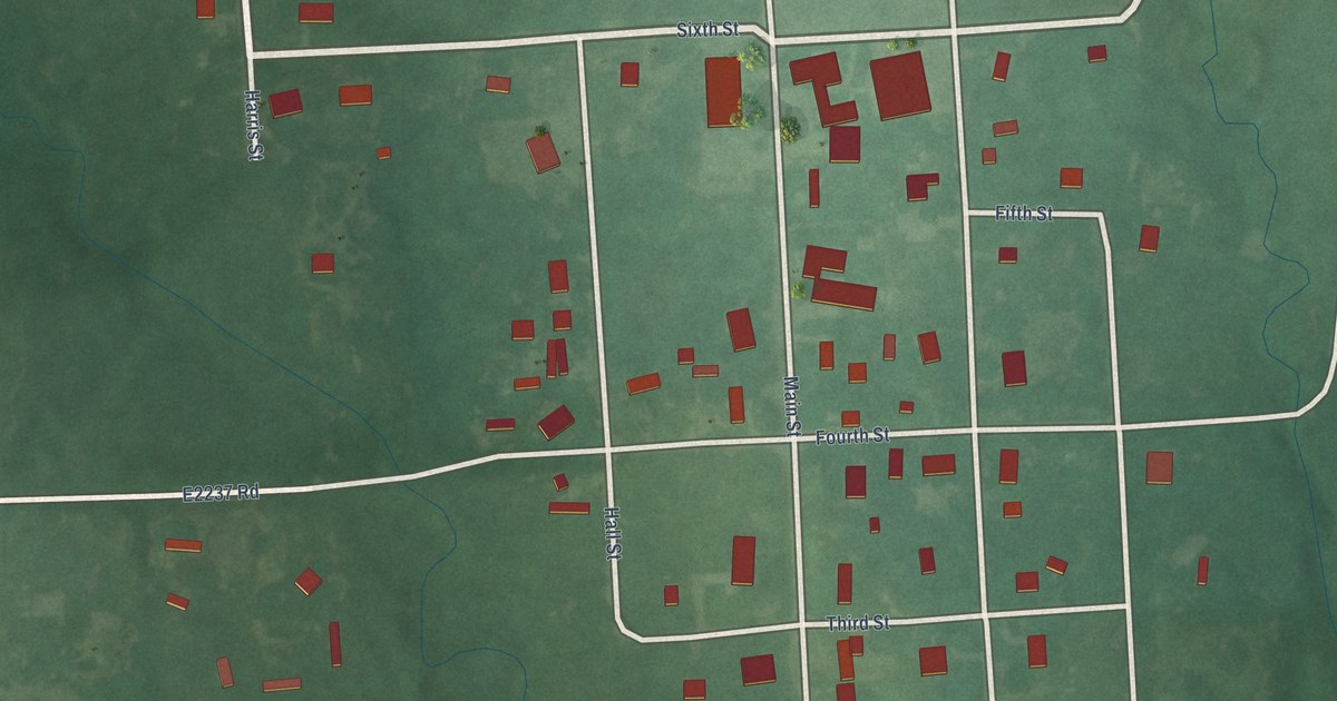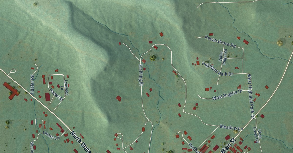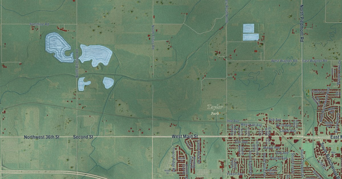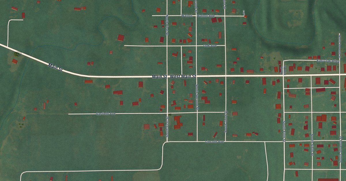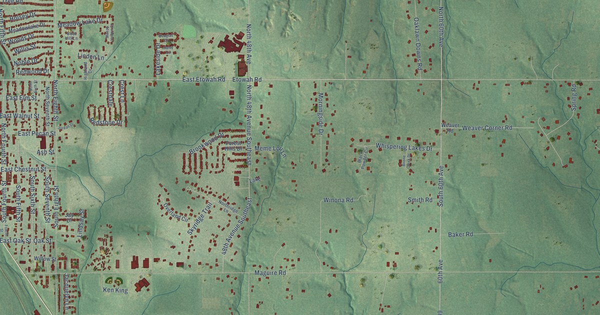
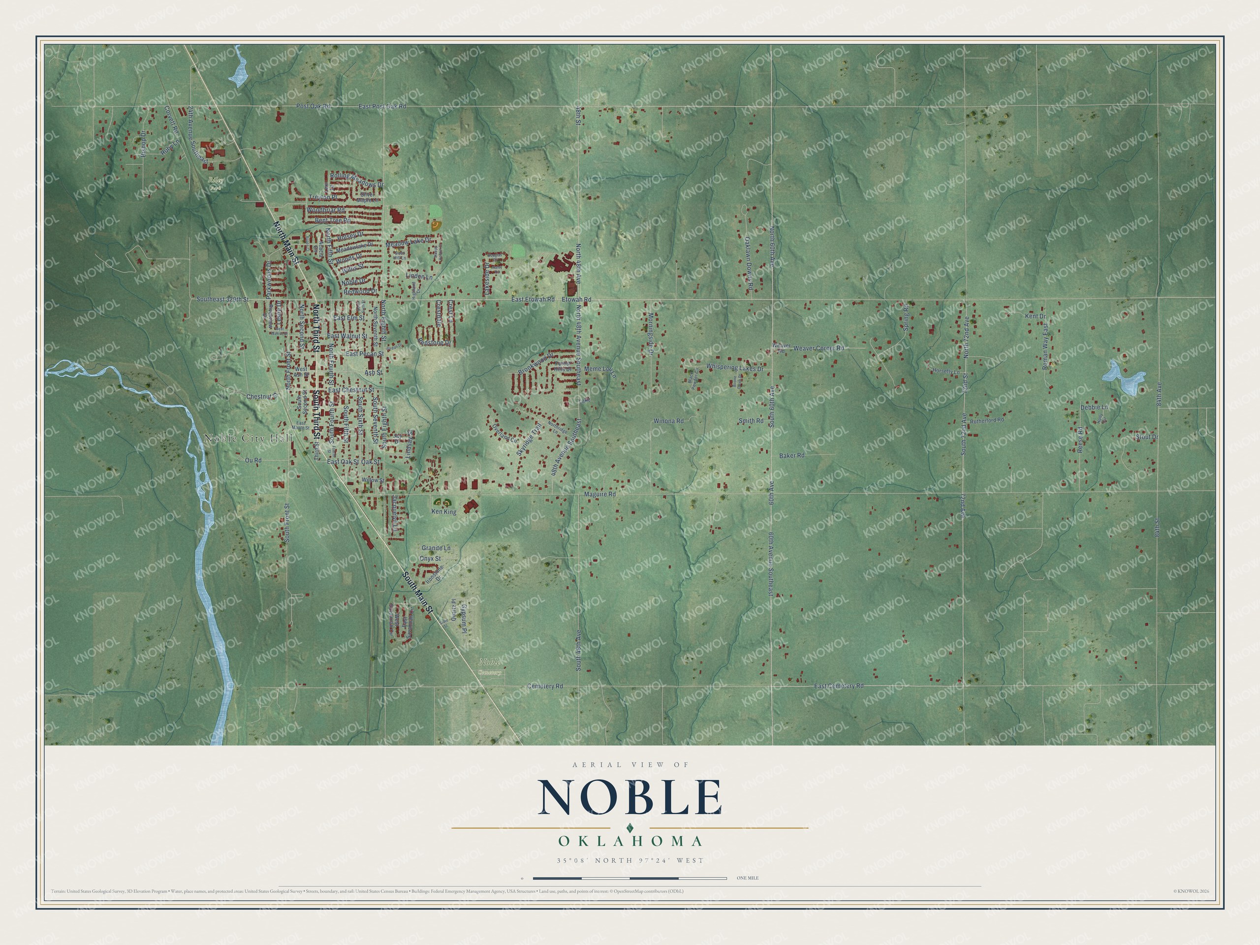
This beautifully detailed map of Noble, Oklahoma was created in 2026 using aerial imagery combined with modern topographical, census, street and landmark data. It's a modern aerial view of Noble in Cleveland County, Oklahoma, that combines modern data with a vintage aesthetic. The roads feature printed names, and if you look closely you can find your exact house accurately shown in its correct location.
Explore an aerial view of Noble, Oklahoma
On this map you'll find Noble City Hall, Noble Cemetery, Riley Park, South Third Street, South Main Street, North Main Street, North Third Street, Etowah Road, 60th Avenue, South Front Street, North Front Street, East Chestnut Street, and more. Each red shape is a building, so zoom in on the preview and look for yours.
Here is a piece of Noble history, in the words of the record. The record at okhistory.org puts it this way: "In July 1889 the Post Office Department designated a Noble post office, with Rennie serving as postmaster."
Noble is a city in Cleveland County.
Take a closer look at the Noble map
Names on this map
These names are printed on this map.
Places: Noble City Hall, Noble Cemetery, Riley Park and Lake.
Streets and roads: South Third Street, South Main Street, North Main Street, North Third Street, Etowah Road, 60th Avenue, South Front Street, North Front Street, East Chestnut Street, East Cemetery Road, 72nd Avenue, South 72nd Avenue.
More street names, A to Z
24th Avenue Southeast, 48th Avenue Southeast, 48th Street, 60th Avenue Southeast, 72nd Street, 84th Avenue, 84th Street, Acacia Circle, Ash Street, Aspen Court, Baker Road, Bent Tree Road, Bishop Drive, Black Powder Circle, Boone Creek Drive, Boot Hill Lane, Brookwood Drive, Cemetery Road, Chestnut Street, Corvett Road, Crestdale, Crest Lane, Debbie Lane, Douglas Circle, East Elm Street, East Etowah Road, East Maple Street, East Oak Street, East Pecan Street, East Post Oak Road, East Savannah Circle, East Walnut Street, Forest Hills Drive, Fourth Street, Granite Lane, Gypsum Place, Haley Circle, Highland Drive, Holly Circle, Holsey Drive, Horsefly Lane, Ironstone Drive, Jacquelyn Lane, Jay Drive, Jordan Drive, Ken King, Kent Drive, Lakeside Drive, Leslie Drive, Lexi Lane, Linden Lane, Lindsay Street, Maguire Road, Meadow Lake Drive, Meadowlake Drive, Meme Lou Lane, Morningside Drive, Noble Drive, North 48th Avenue, North 48th Avenue Southeast, North 60th Avenue, North 72nd Avenue, North Eighth Street, North Fifth Street, North Fourth Street, Northridge Lane, North Second Street, North Seventh Street, North Sixth Street, Oaklawn Downs Road, Oak Street, Onyx Street, Ou Road, Overland Circle, Parkwoods Drive, Post Oak Road, Quartz Place, Redstone Drive, Redwood Drive, Reese Road, Riverview Drive, Rolling Meadows Drive, Roman Way East, Ruby Lane, Rutherford Road, Silver Maple Lane, Skyridge Trail, Slate Street, Sleepy Hollow Court, Smith Road, South 48th Avenue, South 60th Avenue, Southeast 329th Street, South Eighth Street, South Fifth Street, South Fourth Street, South Second Street, South Seventh Street, South Sixth Street, Spring Road, Stout Drive, Third Street, Treyton Place, Weaver Corner Road, Weaver Road, West Ash Street, West Savannah Circle, West Walnut Street, Whispering Lakes Drive, Willis Street, Willow Street, Winona Road, Woodbriar Road, Woods Drive.
Created by KNOWOL in 2026. The buildings are small red shapes, the roads carry their printed names, and shaded relief shows the shape of the land. The title panel reads "AERIAL VIEW OF NOBLE OKLAHOMA" with 35°08' NORTH 97°24' WEST.
It suits a den, a classroom or a front hall, and it makes a gift for anyone with Noble roots. Open the preview and find the block you know. See sizes and frames for the Noble map.