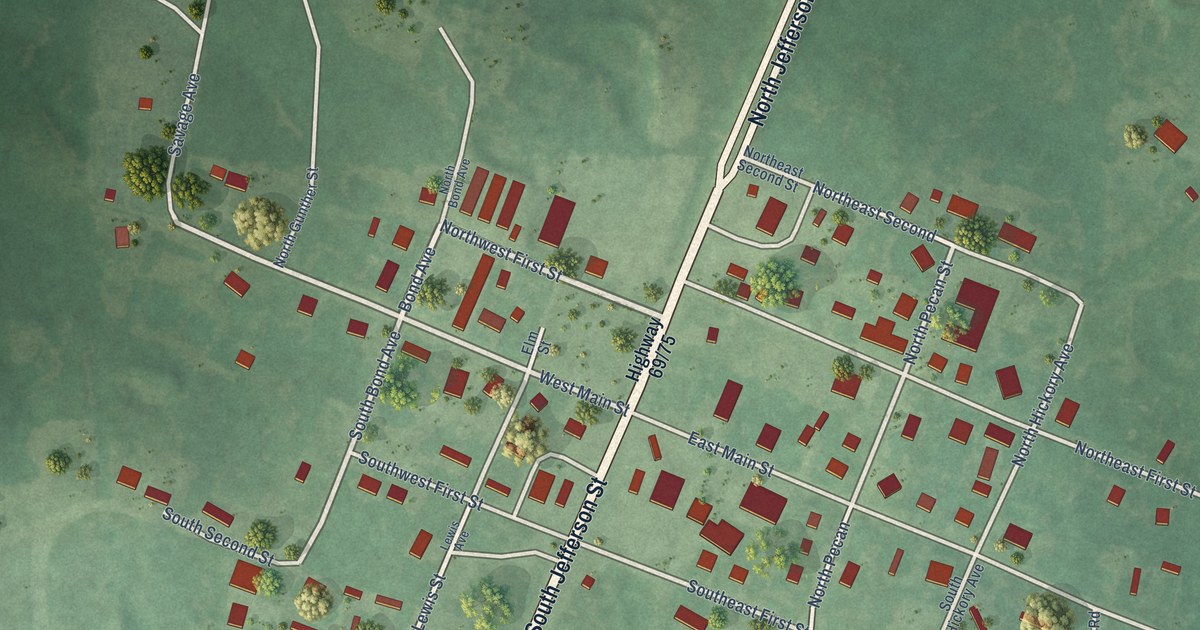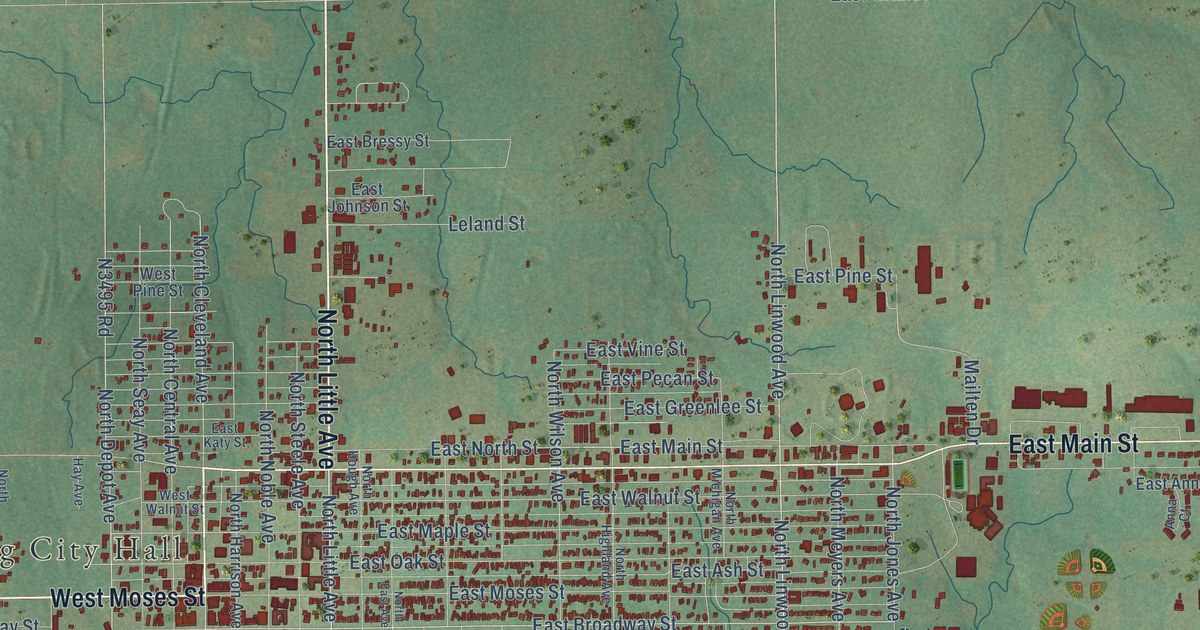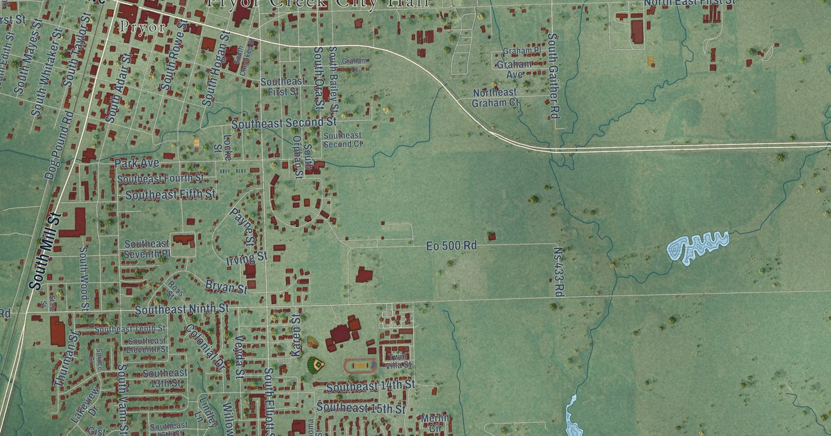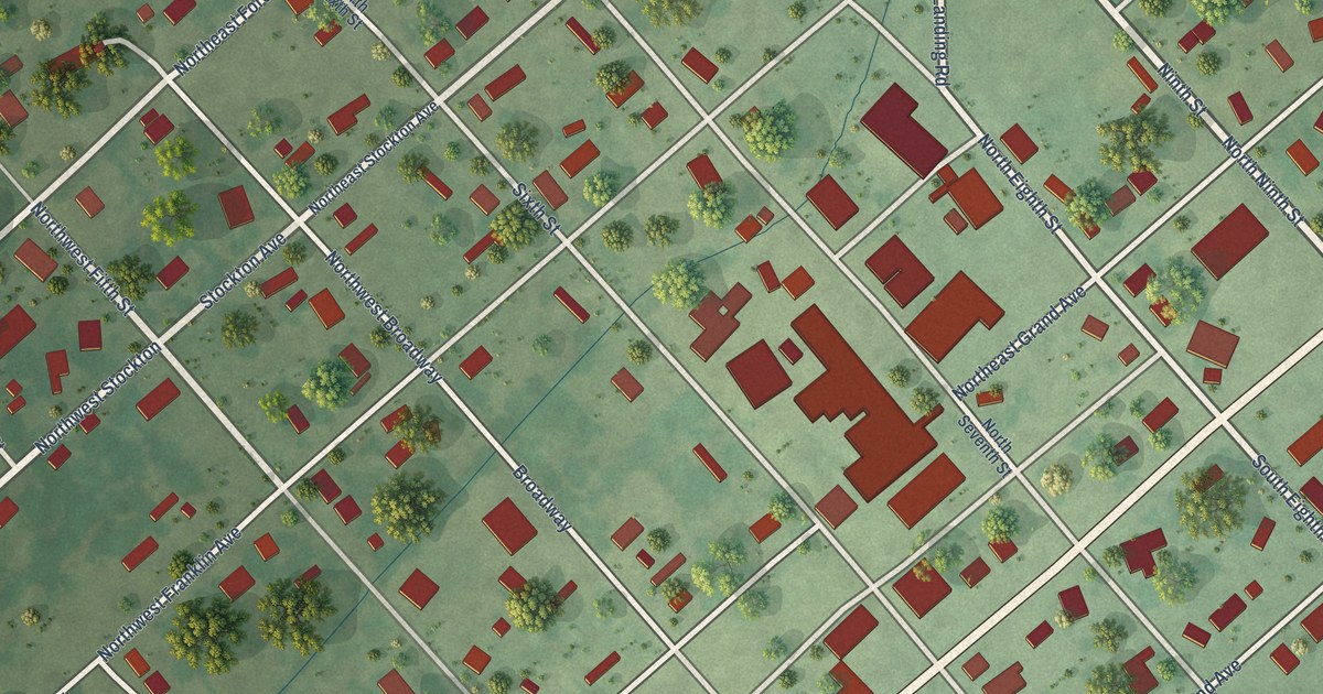
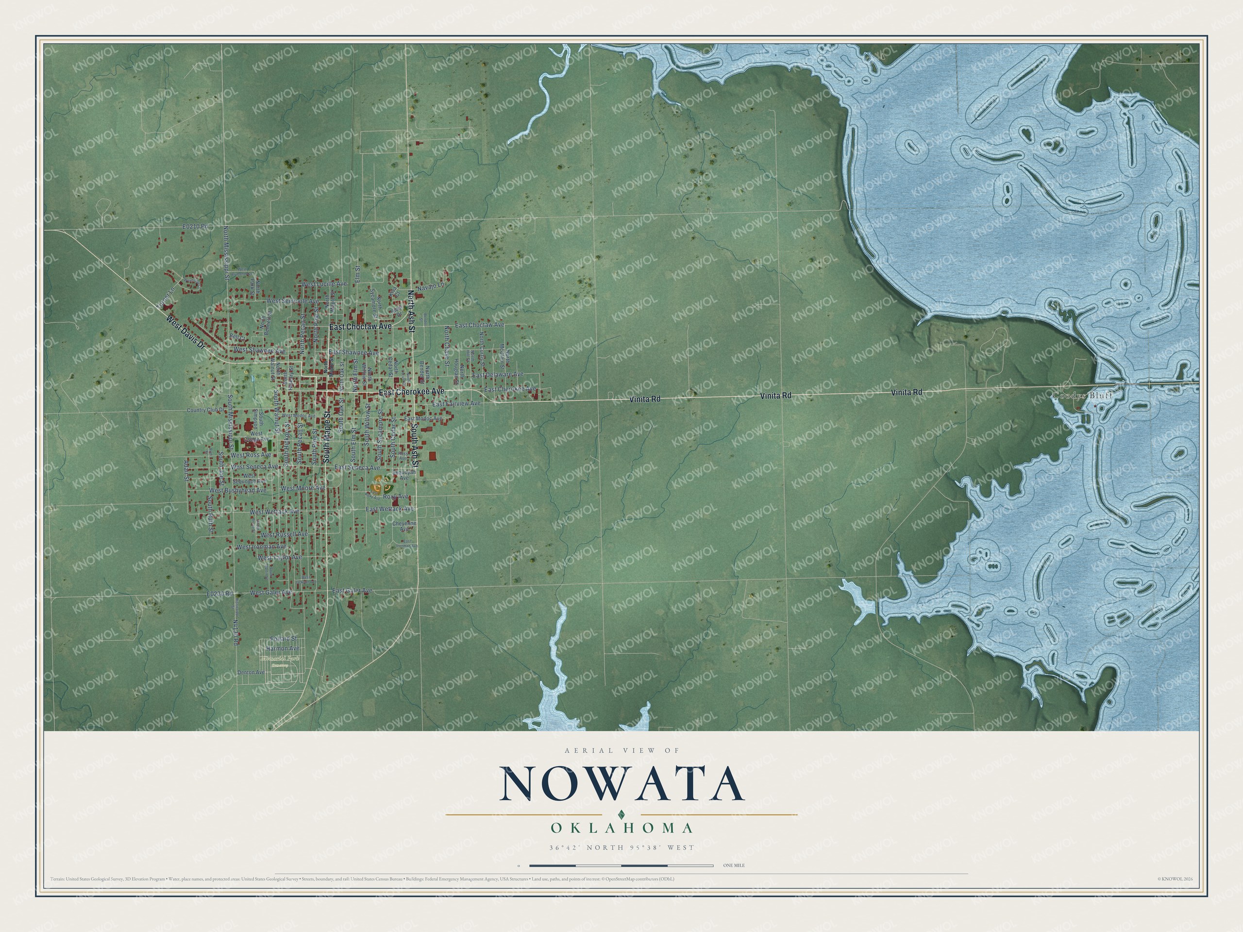
This beautifully detailed map of Nowata, Oklahoma was created in 2026 using aerial imagery combined with modern topographical, census, street and landmark data. It's a modern aerial view of Nowata in Nowata County, Oklahoma, that combines modern data with a vintage aesthetic. The roads feature printed names, and if you look closely you can find your exact house accurately shown in its correct location.
Explore an aerial view of Nowata, Oklahoma
On this map you'll find Memorial Park Cemetery, Coodys Bluff, East Cherokee Avenue, East Choctaw Avenue, Vinita Road, South Maple Street, West Davis Drive, South Ash Street, North Ash Street, East Wettack Avenue, South Oak Street, North Mississippi Street, and more. Each red shape is a building, so zoom in on the preview and look for yours.
Here is a piece of Nowata history, in the words of the record. The record at okhistory.org puts it this way: "During this time the First National Bank of Nowata proceeded with plans for a new building with a third story added to provide a facility for the federal court."
Nowata is a city in Nowata County.
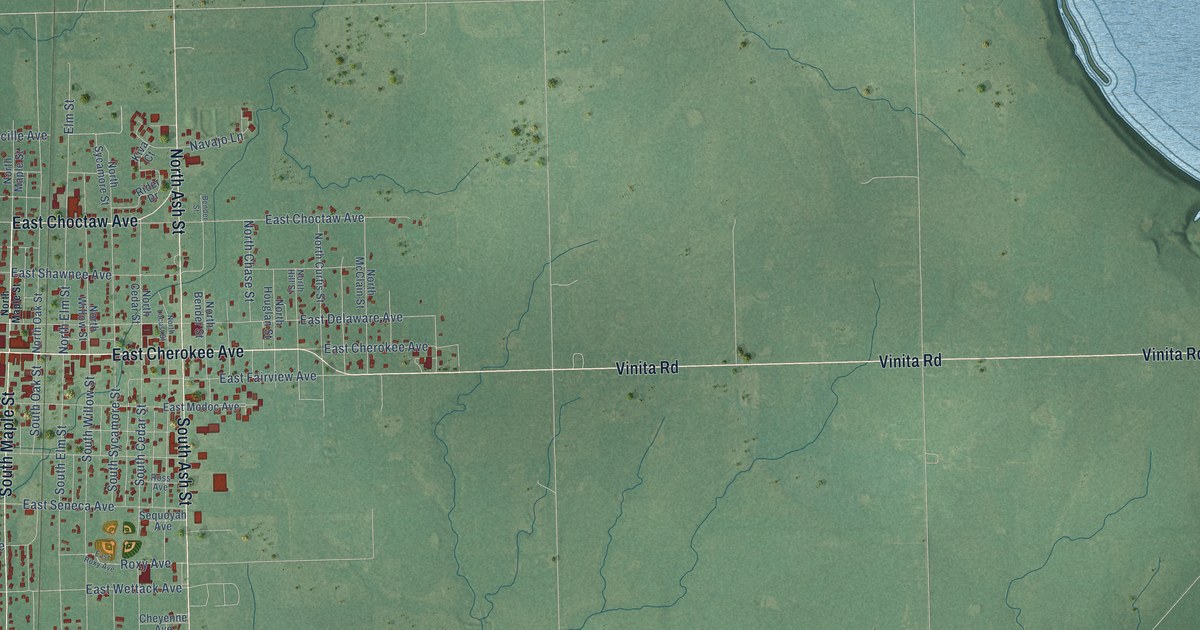
Take a closer look at the Nowata map
Names on this map
These names are printed on this map.
Places: Memorial Park Cemetery and Coodys Bluff.
Streets and roads: East Cherokee Avenue, East Choctaw Avenue, Vinita Road, South Maple Street, West Davis Drive, South Ash Street, North Ash Street, East Wettack Avenue, South Oak Street, North Mississippi Street, West Wettack Avenue, East Delaware Avenue.
More street names, A to Z
Adair Street, Bell Court, Bender Street, Cheyenne Avenue, Country Club Drive, Denton Avenue, East Fairview Avenue, East Galer Avenue, East Ironman Avenue, East Modoc Avenue, East Roxy Avenue, East Seneca Avenue, East Shawnee Avenue, Elm Street, Harmon Avenue, Kiva Court, Mississippi Street, Navajo Lane, North Bender Street, North Bennett Street, North Cedar Street, North Chase Street, North Curtis Street, North Elm Street, North Hickory Street, North Hill Street, North Houglan Street, North Locust Street, North Maple Street, North McClain Street, North Oak Street, North Park Street, North Pecan Street, North Pine Street, North Sycamore Street, North Walnut Street, North Willow Street, Pollard Street, Rider Drive, Ross Avenue, Roxy Avenue, Ruth Street, Sequoyah Avenue, South Broad Street, South Cedar Street, South Elm Street, South Hickory Street, South Joe Street, South Martin Street, South Mississippi Street, South Pecan Street, South Pine Street, South Ruth Street, South Simpson, South Sycamore Street, South Walnut Street, South Willow Street, Turner Lane, Wauhillau Court, West Bushyhead Avenue, West Dumont Avenue, West Galer Avenue, West Ironman Avenue, West Jackson Avenue, West Lucille Avenue, West Modoc Avenue, West Moore Avenue, West Osage Avenue, West Ross Avenue, West Russell Avenue, West Seminole Avenue, West Seneca Avenue, West Sequoyah Avenue, West Shawnee Avenue, West Taylor Avenue.
Created by KNOWOL in 2026. The buildings are small red shapes, the roads carry their printed names, and shaded relief shows the shape of the land. The title panel reads "AERIAL VIEW OF NOWATA OKLAHOMA" with 36°42' NORTH 95°38' WEST.
It suits a den, a classroom or a front hall, and it makes a gift for anyone with Nowata roots. Open the preview and find the block you know. See sizes and frames for the Nowata map.