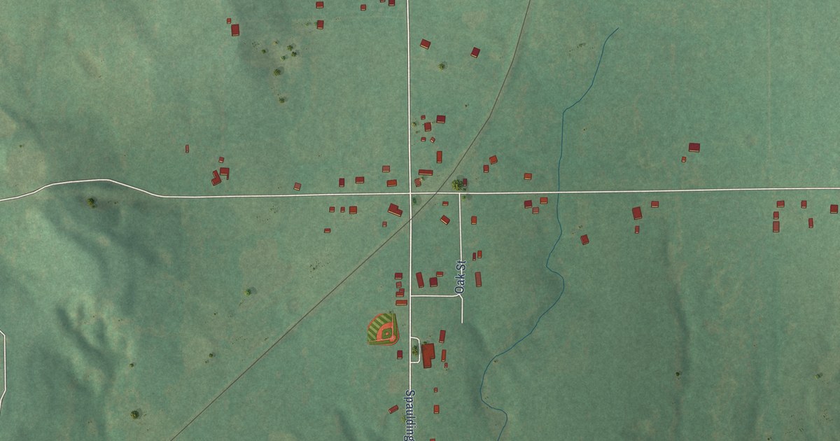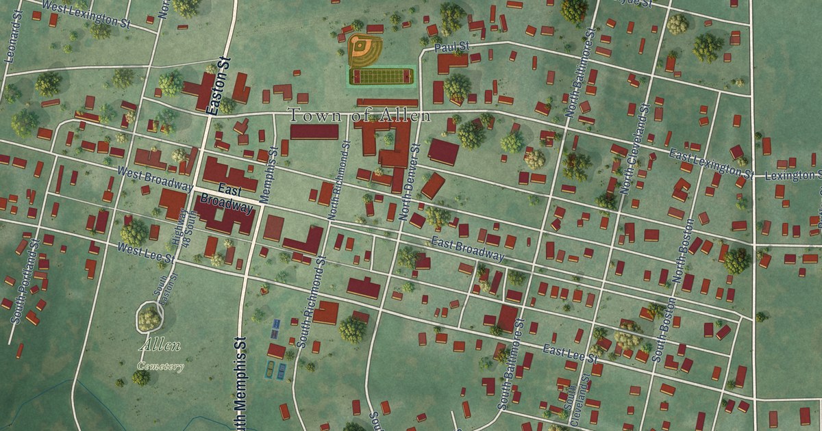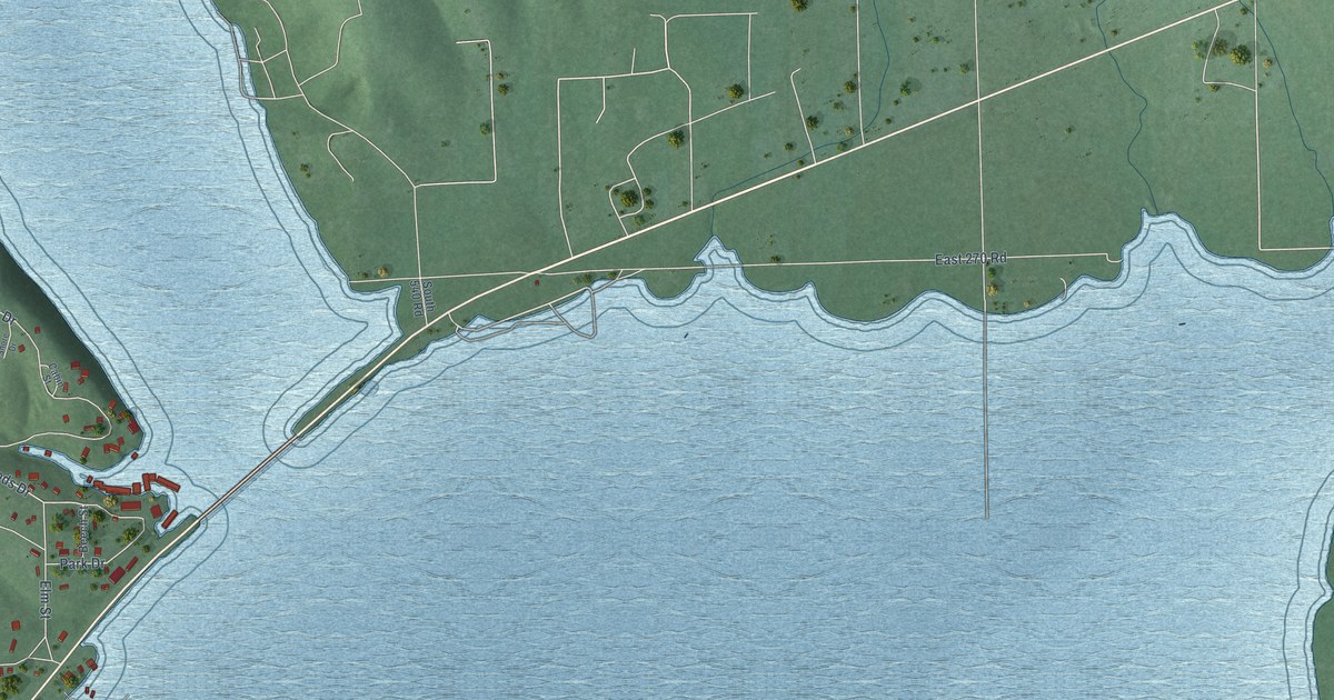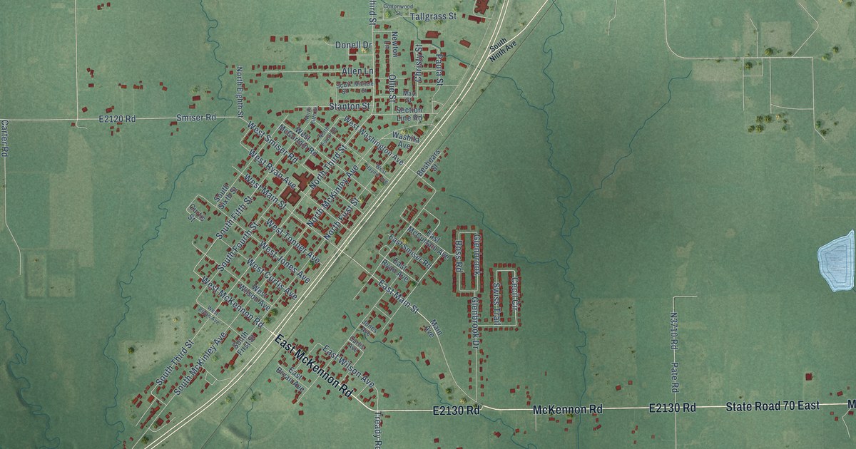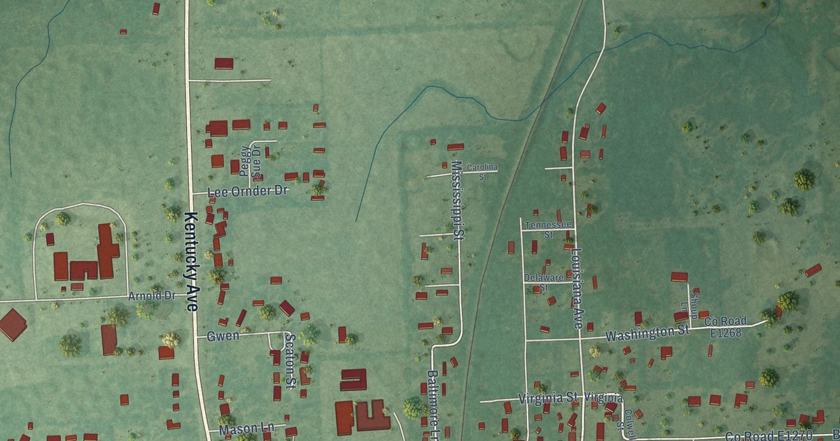
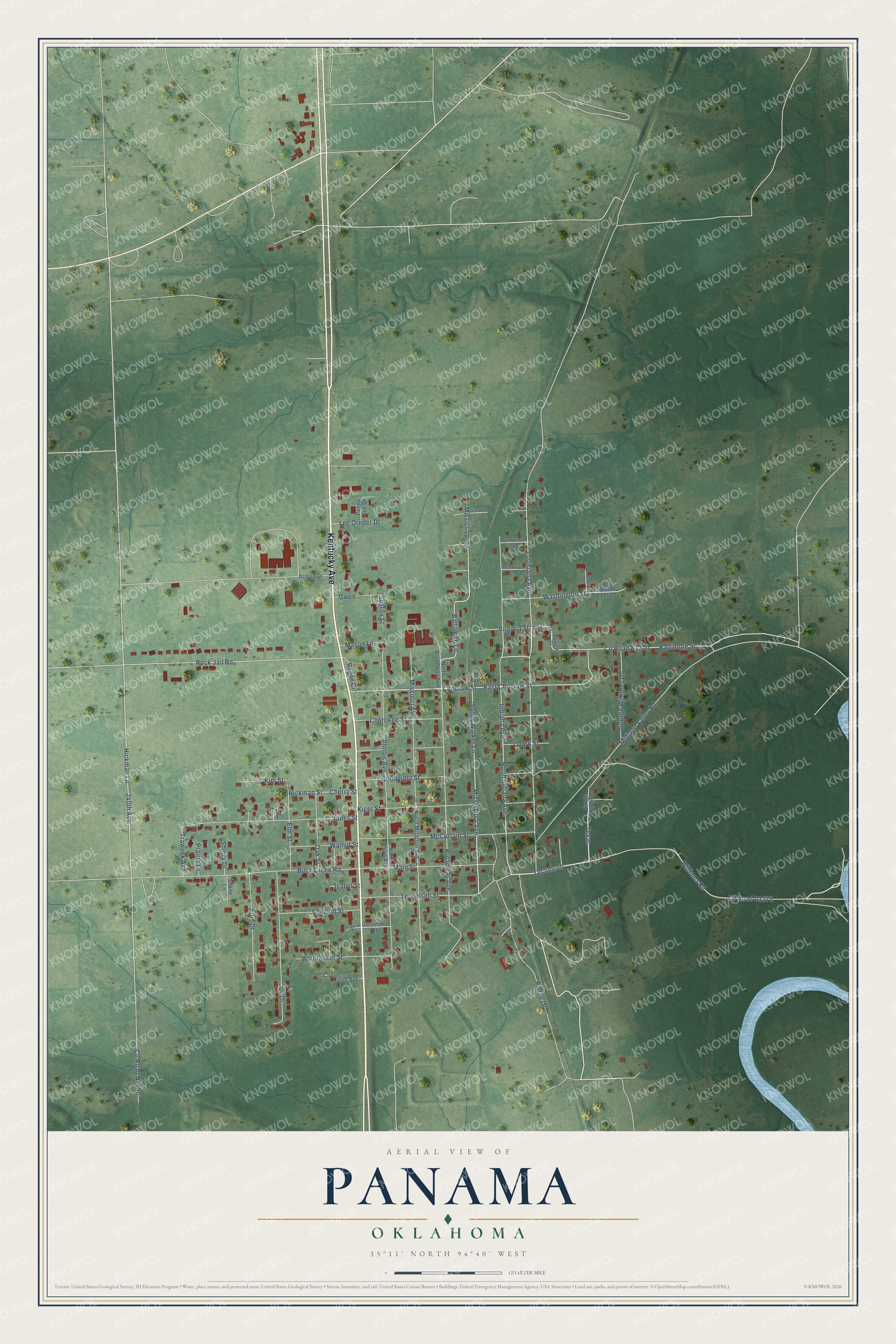
This beautifully detailed map of Panama, Oklahoma was created in 2026 using aerial imagery combined with modern topographical, census, street and landmark data. It's a modern aerial view of Panama in Le Flore County, Oklahoma, that combines modern data with a vintage aesthetic. The roads feature printed names, and if you look closely you can find your exact house accurately shown in its correct location.
Explore an aerial view of Panama, Oklahoma
On this map you'll find Kentucky Avenue, Tecumseh, Texas, East Choctaw Street, Baltimore Street, Sonny Walker Lane, Baltimore Lane, Hickman Lane, Broadway Avenue, Louisiana Avenue, Co Road N4690, Illinois Avenue, and more. Each red shape is a building, so zoom in on the preview and look for yours.
Every town has a first chapter, and Panama is no exception. The record at okhistory.org puts it this way: "In 1896 the Kansas City, Pittsburg and Gulf Railroad (acquired by the Kansas City Southern Railway in 1900) built tracks through the region."
Panama is a town in Le Flore County.
Take a closer look at the Panama map
Names on this map
These names are printed on this map.
Streets and roads: Kentucky Avenue, Tecumseh, Texas, East Choctaw Street, Baltimore Street, Sonny Walker Lane, Baltimore Lane, Hickman Lane, Broadway Avenue, Louisiana Avenue, Illinois Avenue, Indiana Avenue.
More street names, A to Z
240th Avenue, Arnold Drive, Buck Creek Road, Carolina Street, Cherokee Street, Cherry Street, Cheyenne Avenue, Choctaw Street, Colwell Street, Delaware Street, Edmund Street, Elm Street, George Williams Drive, Geronimo Street, Goodnight Street, Gwen, Hickman Street, Isabel Street, Jones Street, Joy Drive, Julie Drive, Kiger Street, Kim Street, Larry Avenue, Laura Drive, Lee Ornder Drive, Main Street, Mason Lane, McCurtain Street, Midland Valley Road, Mississippi Avenue, Mississippi Street, Missouri Avenue, North Broadway Avenue, North Ilinois Avenue, North Indiana Avenue, North Missouri Avenue, Oak Street, Ozark Street, Peggy Sue Drive, Perry Street, Pierce Drive, Prairie Drive, Regan Circle, Rock Jail Road, Russell Lane, Sarge Tayler Drive, Scaton Street, Shane Lane, Sherry Drive, Shoup Lane, Tecumseh Street, Tennessee Street, Traweek Avenue, Virginia, Virginia Street, Walnut Street, Washington Street, Whiteacker Street, Williams Road.
Created by KNOWOL in 2026. The buildings are small red shapes, the roads carry their printed names, and shaded relief shows the shape of the land. The title panel reads "AERIAL VIEW OF PANAMA OKLAHOMA" with 35°11' NORTH 94°40' WEST.
Hang it in the hallway, the office or the cabin, or give it to someone who left Panama and still calls it home. Open the preview and look for a street you know. See sizes and frames for the Panama map.