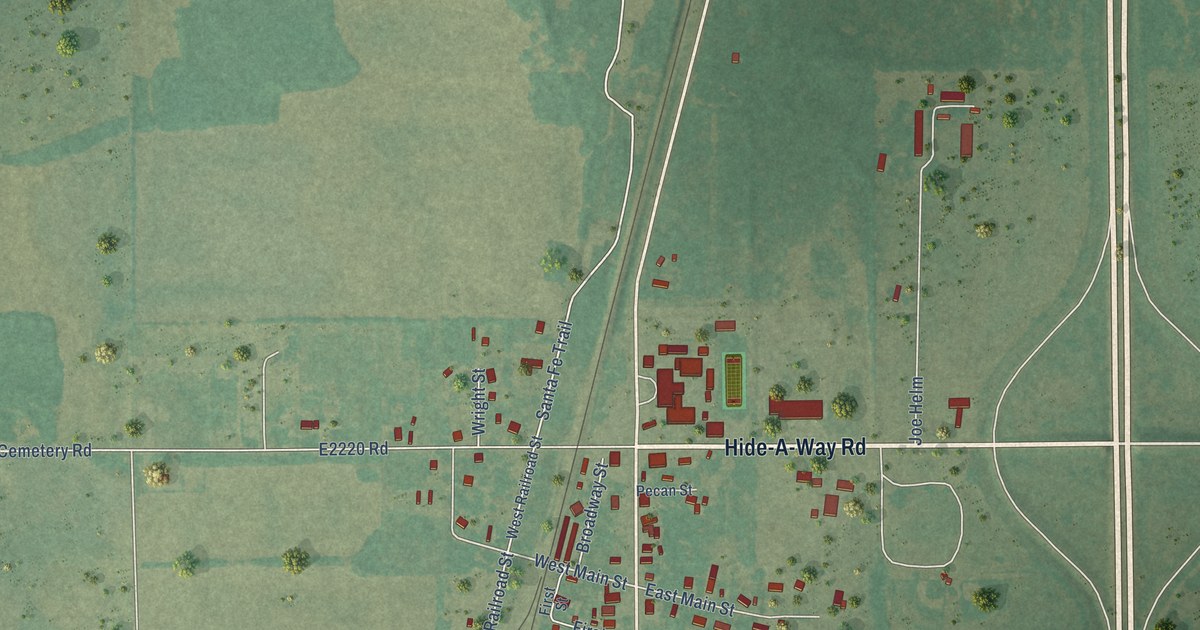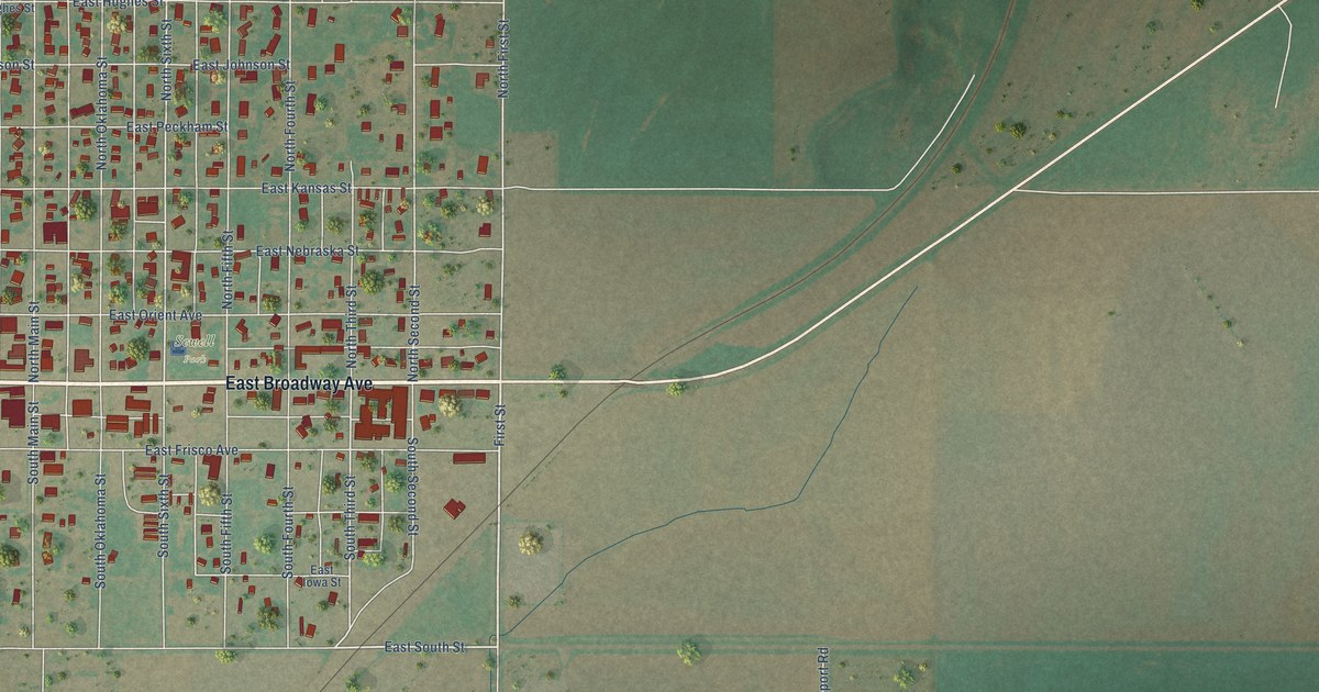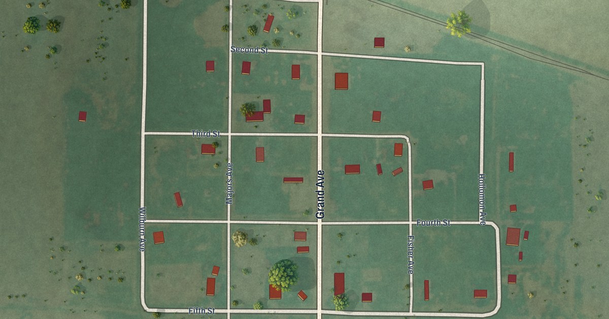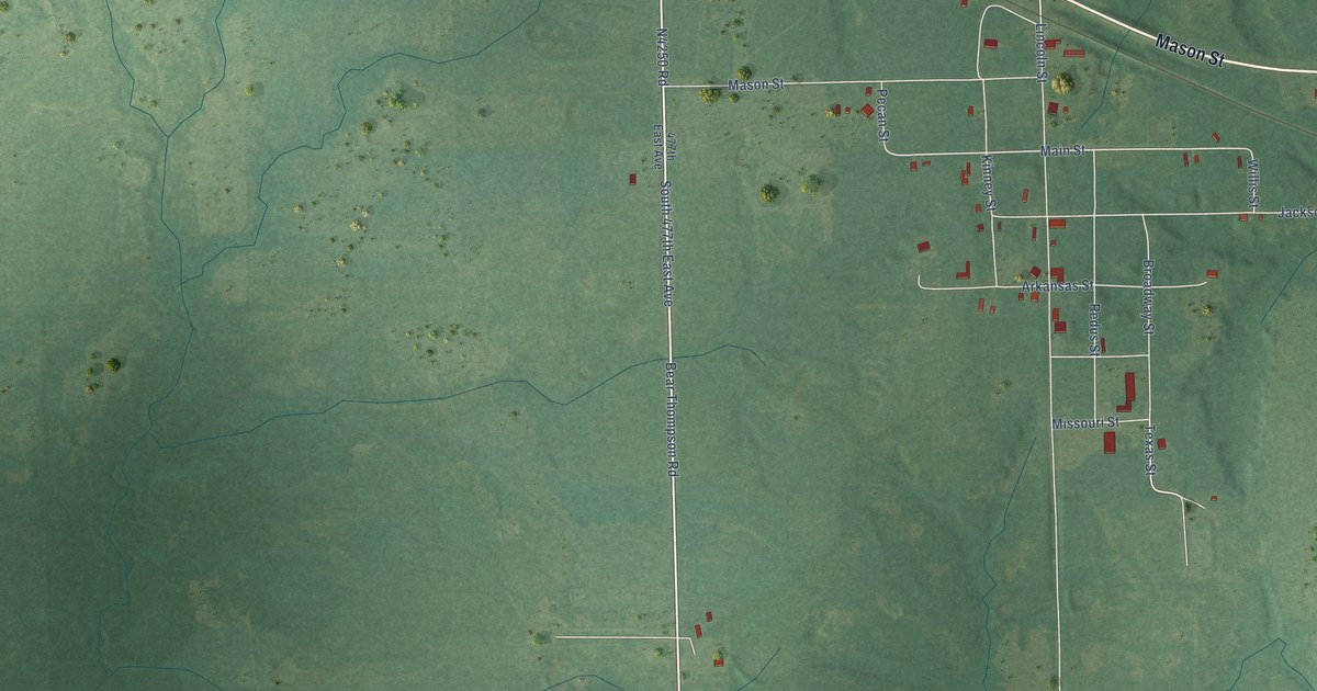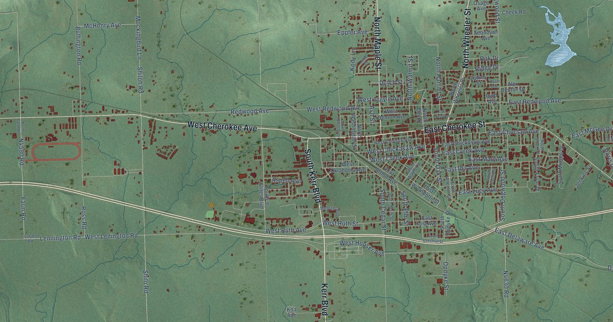
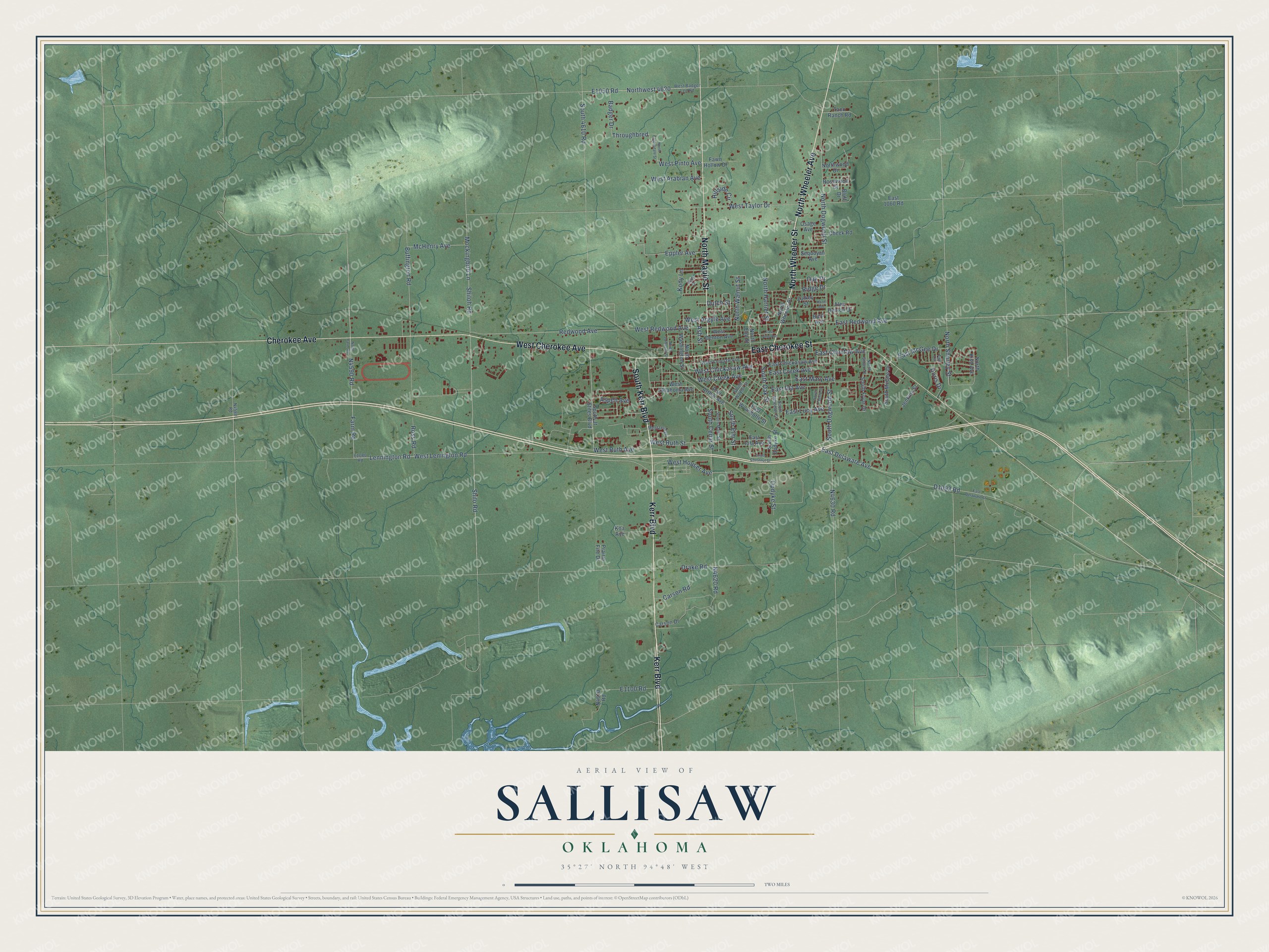
This beautifully detailed map of Sallisaw, Oklahoma was created in 2026 using aerial imagery combined with modern topographical, census, street and landmark data. It's a modern aerial view of Sallisaw in Sequoyah County, Oklahoma, that combines modern data with a vintage aesthetic. The roads feature printed names, and if you look closely you can find your exact house accurately shown in its correct location.
Explore an aerial view of Sallisaw, Oklahoma
On this map you'll find West Cherokee Avenue, Kerr Boulevard, East Cherokee Street, North Wheeler Avenue, South Kerr Boulevard, North Wheeler Street, Cherokee Avenue, North Maple Street, West Chickasaw Avenue, South Elm Street, West Creek Avenue, Lennington Road, and more. Each red shape is a building, so zoom in on the preview and look for yours.
Sallisaw has a story worth telling. The Oklahoma Historical Society puts it this way: "Present Sallisaw was the site of a post office called Childer's Station from 1873 to 1888 when the name was changed to Sallisaw. Another community fifteen miles north bore the name Sallisaw for a period until 1888 when the name of the post office there was changed to Mays, remaining so until it closed in 1896."
Sallisaw is a city in Sequoyah County.
Take a closer look at the Sallisaw map
Names on this map
These names are printed on this map.
Streets and roads: West Cherokee Avenue, Kerr Boulevard, East Cherokee Street, North Wheeler Avenue, South Kerr Boulevard, North Wheeler Street, Cherokee Avenue, North Maple Street, West Chickasaw Avenue, South Elm Street, West Creek Avenue, Lennington Road.
More street names, A to Z
Alex Denton Drive, Ash Street, Aspen Avenue, Badger Drive, Bluff Drive, Buffington Road, Byrd Avenue, Carson Drive, Carson Road, Cheek Road, Doris Drive, Drake Road, Dutch Street, East 1060 Road, East Chickasaw Avenue, East Choctaw Avenue, East Creek Avenue, East Delaware Avenue, East Delaware Street, East Ida Avenue, East Iola Avenue, East Lucy Avenue, East Mary Avenue, East McGee Drive, East Redwood Avenue, East Vine Avenue, East Wyandotte Street, Eppler Avenue, Fall Circle, Farm Road, Fawn Hollow Drive, Hazel Avenue, Hillside Circle, Jenkins Street, Jess Drive, Koa Avenue, Kody Lane, McHenry Avenue, Mentzer Avenue, Mockingbird Lane, North Clydesdale Street, North Dogwood Street, North Elm Street, North Farm Road, North Harriet Street, North Jefferson Street, North Kish Avenue, North Shurley Street, North Sioux Street, North Walnut Street, North Washington Street, Northwest 4620, North Wheeler Place, Northwood Drive, Oak Drive, Opdyke Street, Osage Avenue, Port Arthur Avenue, Prairie Fire Drive, Redwood Avenue, Ridge Drive, Rosewood Drive, Ross Road, Sequoyah Avenue, Shiloh Road, Shilo Road, South 4610 Road, South Cedar Street, South Cherry Street, South Chestnut Street, South Dogwood Street, South Fryar Drive, South Jt Stites Boulevard, South Main Street, South McGee Drive, South Oak Street, South Opdyke Street, South Walnut Street, South Wheeler Street, Taco Ranch Road, Throughbred, West Arabian Avenue, West Argyle Avenue, West Badger Lee Road, West Choctaw Avenue, West Denton Avenue, West Houser Avenue, West Lenington Road, West Oklahoma Avenue, West Pinto Avenue, West Redwood Avenue, West Ruth Avenue, West Ruth Street, West Taylor Drive, Zulkey Street.
Created by KNOWOL in 2026. The buildings are small red shapes, the roads carry their printed names, and shaded relief shows the shape of the land. The title panel reads "AERIAL VIEW OF SALLISAW OKLAHOMA" with 35°27' NORTH 94°48' WEST.
It looks right in a kitchen, an office or a den, and it's a gift for anyone who grew up in Sallisaw or moved away. Open the preview and find your street. See sizes and frames for the Sallisaw map.