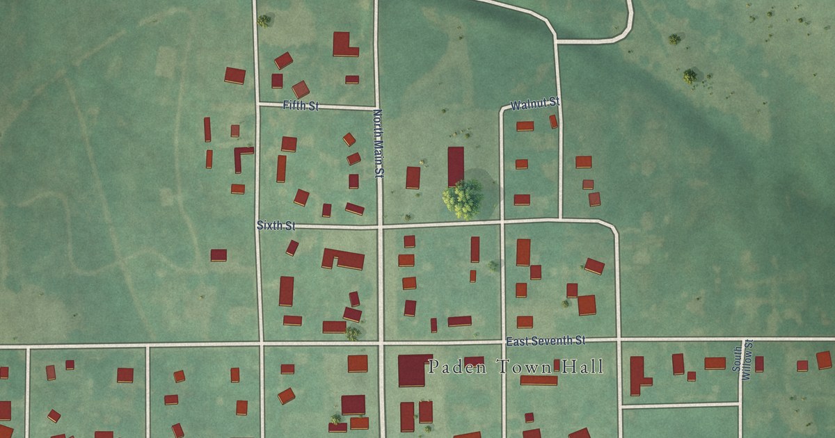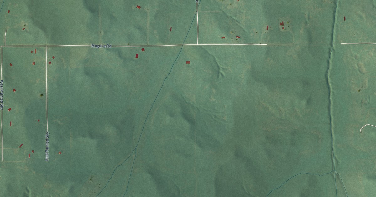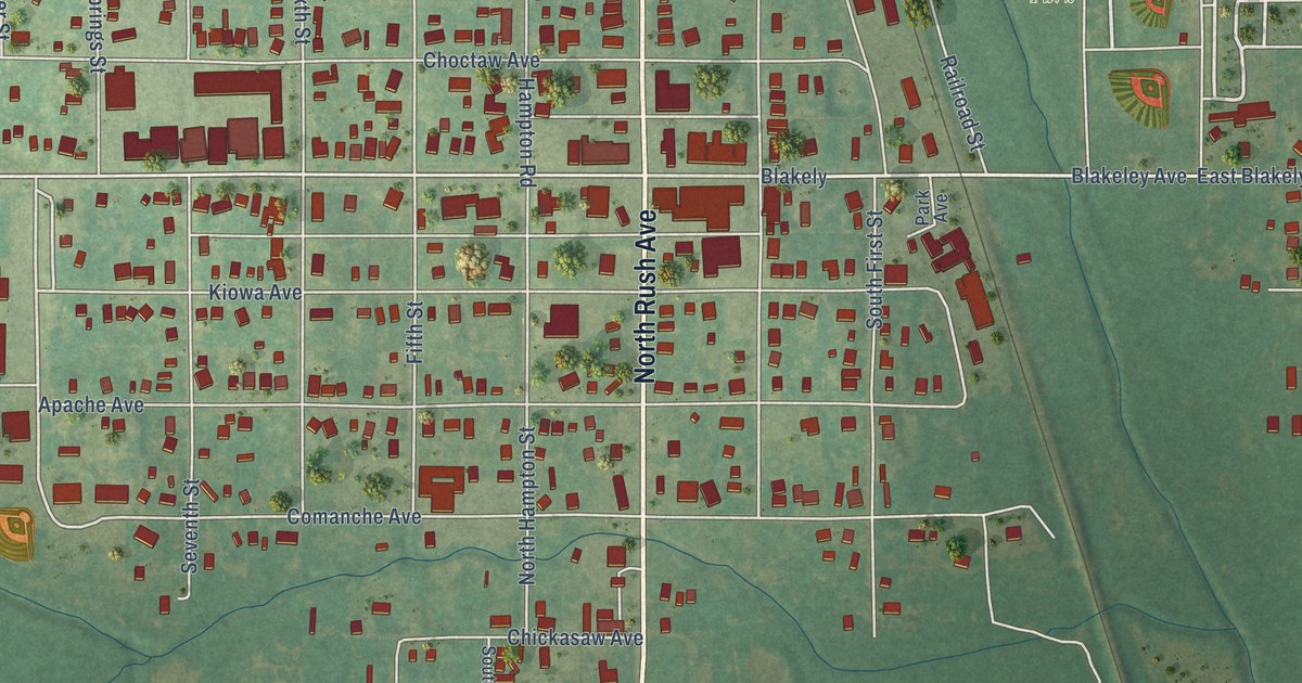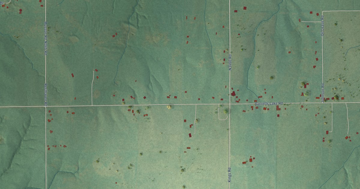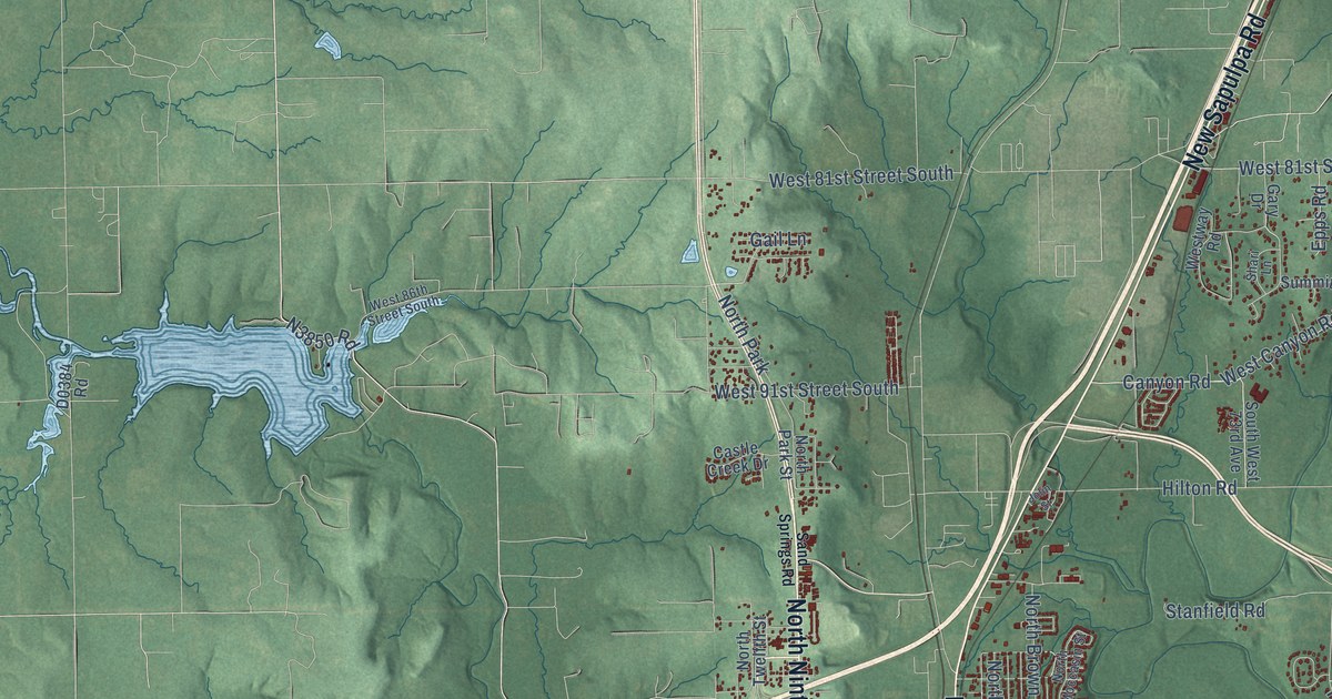
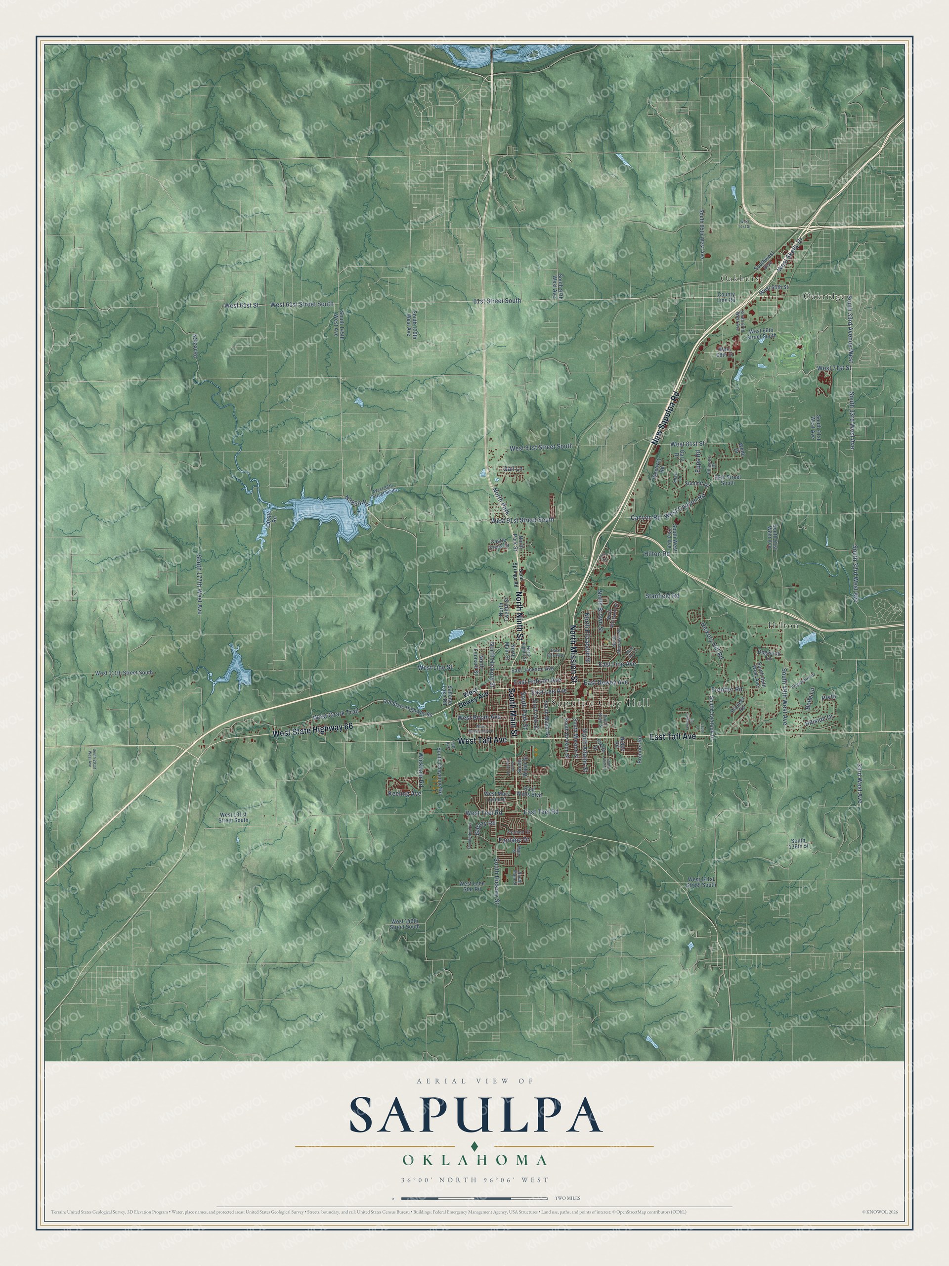
This beautifully detailed map of Sapulpa, Oklahoma was created in 2026 using aerial imagery combined with modern topographical, census, street and landmark data. It's a modern aerial view of Sapulpa in Creek County, Oklahoma, that combines modern data with a vintage aesthetic. The roads feature printed names, and if you look closely you can find your exact house accurately shown in its correct location.
Explore an aerial view of Sapulpa, Oklahoma
On this map you'll find Sapulpa City Hall, Oakhurst, Hilton, Oakridge, New Sapulpa Road, North Mission Street, South Main Street, East Taft Avenue, West State Highway 66, North Ninth Street, West Taft Avenue, West 61st Street South, and more. Each red shape is a building, so zoom in on the preview and look for yours.
Sapulpa has a story worth telling. The record at okhistory.org puts it this way: "By 1900 the railroad designated Sapulpa as a division point or overhaul base for its rolling stock, giving the town its first major industry."
Sapulpa is a city in Creek County.
Take a closer look at the Sapulpa map
Names on this map
These names are printed on this map.
Places: Sapulpa City Hall, Oakhurst, Hilton, Oakridge and North Park.
Streets and roads: New Sapulpa Road, North Mission Street, South Main Street, East Taft Avenue, West State Highway 66, North Ninth Street, West Taft Avenue, West 61st Street South, 61st Street South, West Skelly Drive, South 49th West Avenue, West 71st Street.
More street names, A to Z
33rd West Avenue, 86th Street South, Belle Lane, Brenner Road, Canyon Road, Castle Creek Drive, Circle Drive, County Line Road, Dogwood Lane, East Dewey Avenue, East Fife Avenue, East Hobson Avenue, East Jackson Avenue, East Lee Avenue, East Line Avenue, East Teel Road, East Wells Boulevard, Edgewood Drive, Epps Road, Fairlane Court, Fairlane Drive, Frontier Road, Gail Lane, Galaxy Road, Gary Drive, Hickory Hill Road, Hillside Drive, Hillwood Drive, Hilton Road, Jolin Street, Keeling Avenue, Laury Lane, Lexington Road, Main Street, North Brown Street, North Eighth Street, North Elizabeth Street, North Hickory Street, North Leonard Street, North Main Street, North Moccasin Place, North Moccasin Street, North Park Street, North Twelfth Street, Old State Highway 66, Pioneer Road, Prvte, Quail Run Lane, Ridge Road, Sahoma Lake Road, Sand Springs Road, Shari Lane, South 33rd Avenue West, South 33rd West Avenue, South 41st West Avenue, South 51st West Avenue, South 55th West Avenue, South 57th West Avenue, South 65th West Avenue, South 97th West Avenue, South 129th West Avenue, South 136th Street, South 145th West Avenue, South 177th West Avenue, South 201st West Avenue, South Adams Street, South Boyd Street, South Cheyenne Road, South Division Street, South Hickory Street, South Luker Lane, South Maple Street, South Mission Street, South Oak Street, South Overlook Drive, South Park Street, South Poplar Street, South Water Street, South West 73rd Avenue, Southwest Boulevard, Stanfield Road, Summit Drive, Taft Avenue, Thunderbird Lane, Webb Drive, West 51st Street, West 60th Street, West 61st Street, West 66th Street South, West 68th Street, West 81st Street, West 81st Street South, West 86th Street South, West 91st Street South, West 111th Street South, West 131st Street South, West 141st Street South, West 146th Street South, West Bryan Avenue, West Canyon Road, West Dewey Avenue, West Line Street, West Lone Star Road, West Mary Lynn Drive, West Ozark Trail, West Roosevelt Avenue, West Teel Road, Westway Road, Wickham Road.
Created by KNOWOL in 2026. The buildings are small red shapes, the roads carry their printed names, and shaded relief shows the shape of the land. The title panel reads "AERIAL VIEW OF SAPULPA OKLAHOMA" with 36°00' NORTH 96°06' WEST.
It looks right in a kitchen, an office or a den, and it's a gift for anyone who grew up in Sapulpa or moved away. Open the preview and find your street. See sizes and frames for the Sapulpa map.