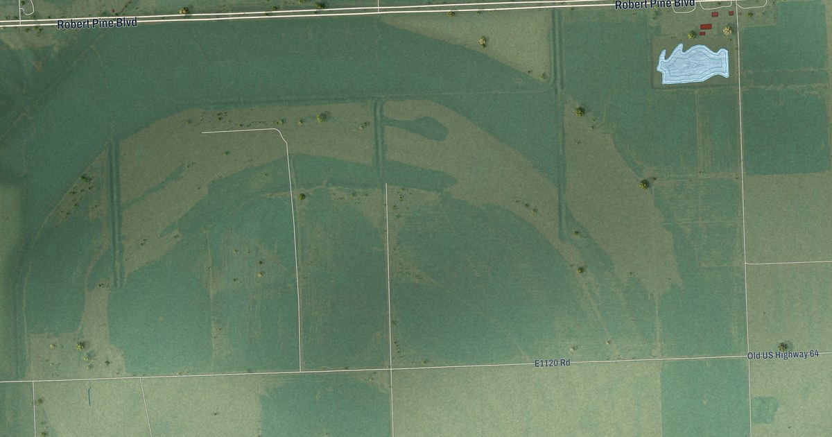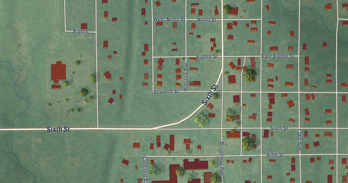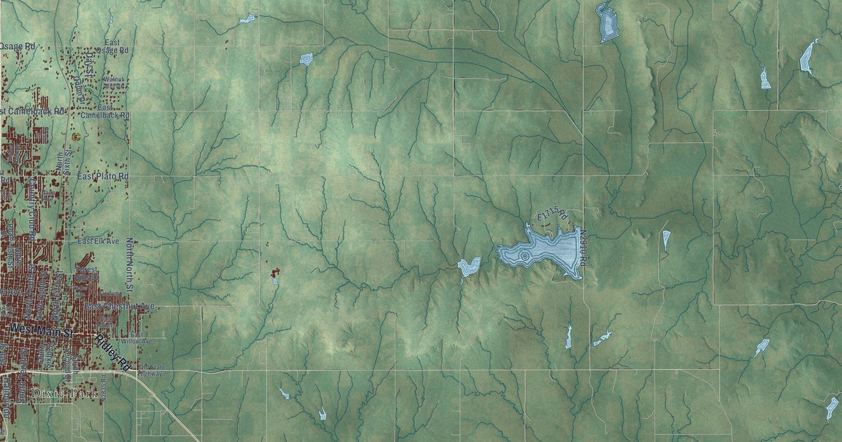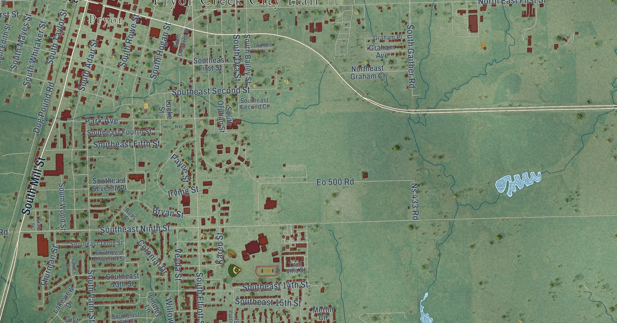
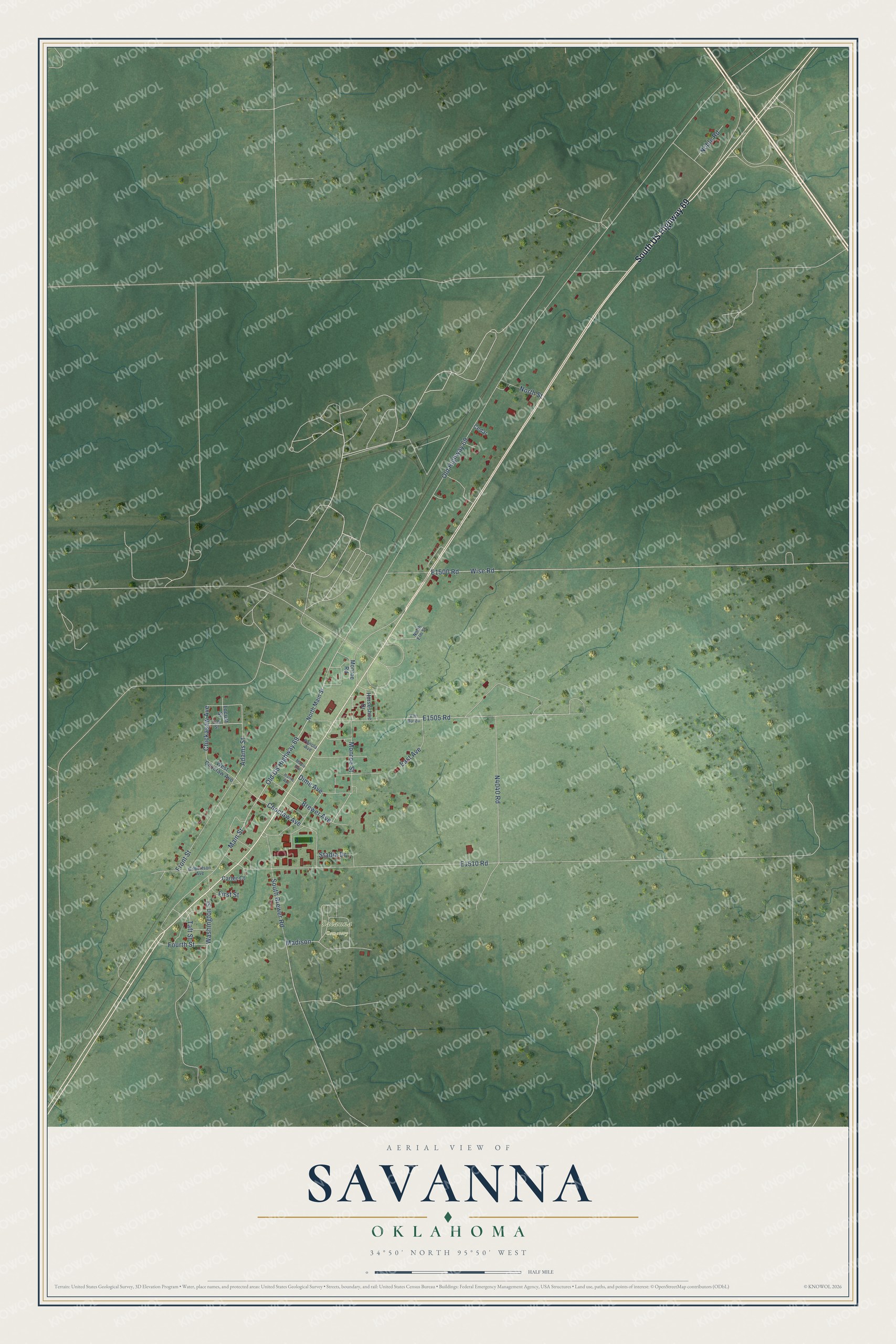
This beautifully detailed map of Savanna, Oklahoma was created in 2026 using aerial imagery combined with modern topographical, census, street and landmark data. It's a modern aerial view of Savanna in Pittsburg County, Oklahoma, that combines modern data with a vintage aesthetic. The roads feature printed names, and if you look closely you can find your exact house accurately shown in its correct location.
Explore an aerial view of Savanna, Oklahoma
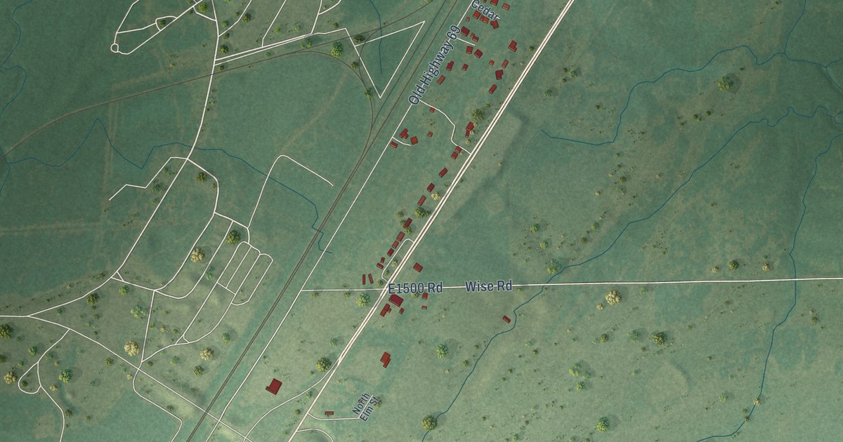
On this map you'll find Savanna Cemetery, South US Highway 69, Main Street, Monroe Street, Adams Street, Old US Highway 69, Wise Road, E1505 Road, Old Highway 69, Front Street, N4040 Road, E1510 Road, and more. Each red shape is a building, so zoom in on the preview and look for yours.
Here is a piece of Savanna history, in the words of the record. The record at okhistory.org puts it this way: "Located in Pittsburg County approximately nine miles south of McAlester on U.S. Highway 69, adjacent to and east of the U.S. Army Ammunition Plant (opened in 1943 as the U.S. Naval Ammunition Depot), Savanna can trace its origin to a dispersed rural settlement in the Choctaw Nation of the 1860s."
Savanna is a town in Pittsburg County.
Take a closer look at the Savanna map
Names on this map
These names are printed on this map.
Places: Savanna Cemetery.
Streets and roads: South US Highway 69, Main Street, Monroe Street, Adams Street, Old US Highway 69, Wise Road, Old Highway 69, Front Street, Choctaw Avenue, South Brewer Road, Madison, Washington Street.
More street names, A to Z
Brewer Avenue, Carter Court, Cedar, Chickasaw Avenue, Dime Avenue, East Avenue, First Street, Fourth Street, Gilbertson Avenue, Harris Avenue, Horseshoe Drive, Locust Street, Maple Avenue, Monroe Road, Noble Road, North Elm Street, North Main Street, North Street, Oak Street, Panola Avenue, Stadia Drive, Taft Street, Van Buren, West Choctaw Avenue.
Created by KNOWOL in 2026. The buildings are small red shapes, the roads carry their printed names, and shaded relief shows the shape of the land. The title panel reads "AERIAL VIEW OF SAVANNA OKLAHOMA" with 34°50' NORTH 95°50' WEST.
It suits a den, a classroom or a front hall, and it makes a gift for anyone with Savanna roots. Open the preview and find the block you know. See sizes and frames for the Savanna map.