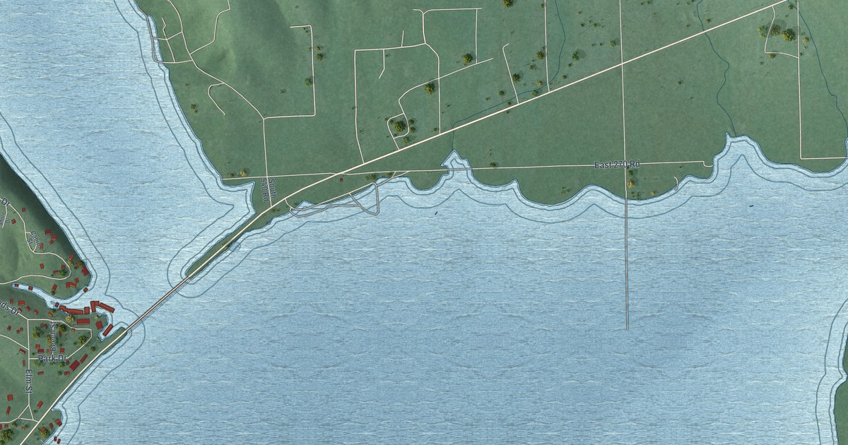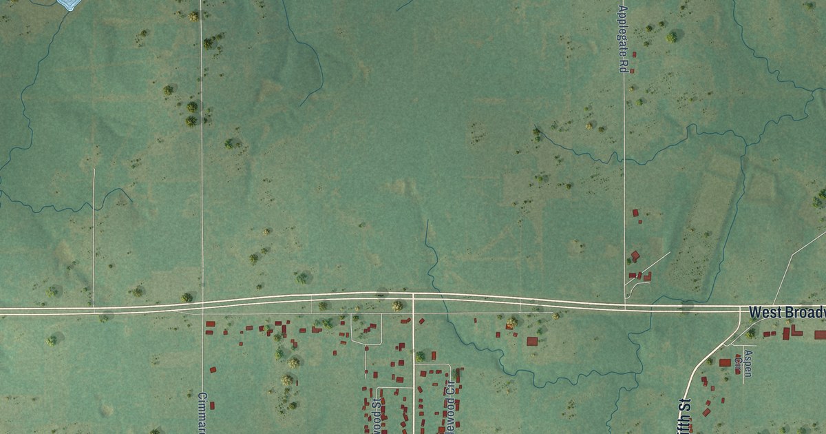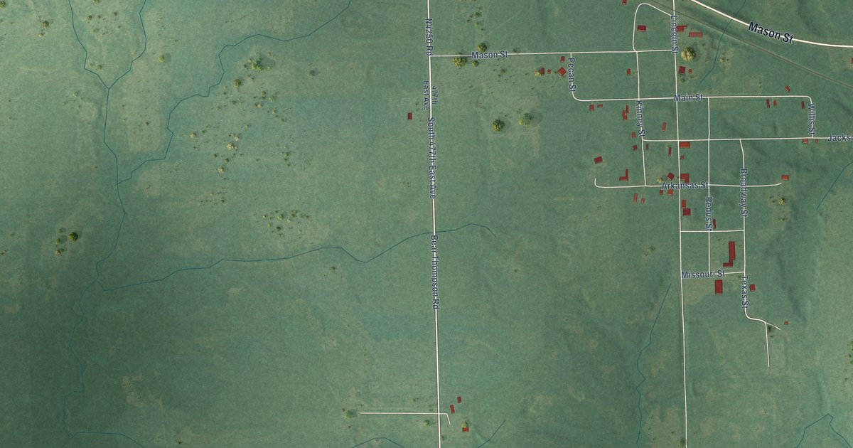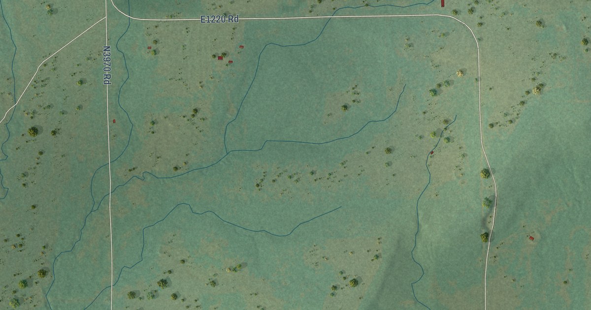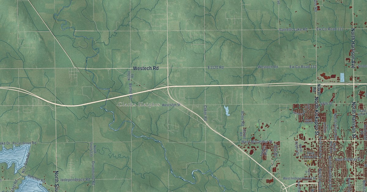
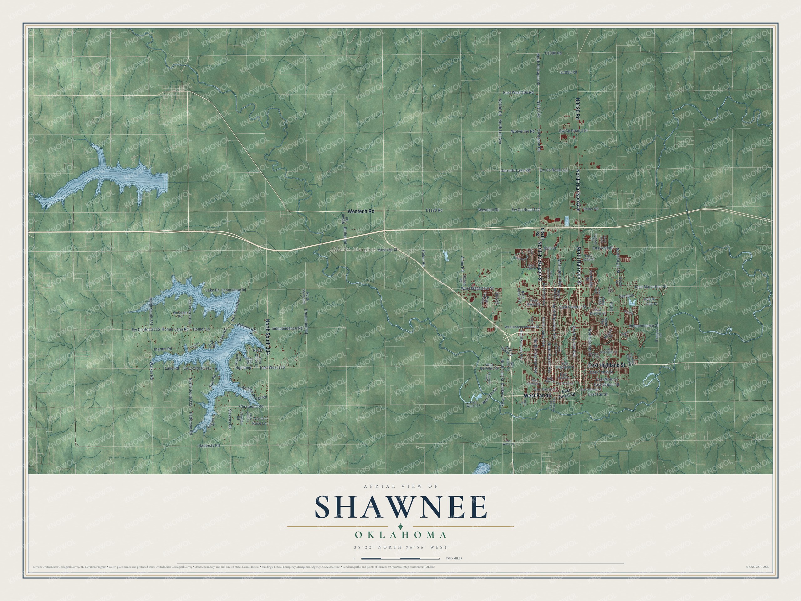
This beautifully detailed map of Shawnee, Oklahoma was created in 2026 using aerial imagery combined with modern topographical, census, street and landmark data. It's a modern aerial view of Shawnee in Pottawatomie County, Oklahoma, that combines modern data with a vintage aesthetic. The roads feature printed names, and if you look closely you can find your exact house accurately shown in its correct location.
Explore an aerial view of Shawnee, Oklahoma
On this map you'll find Clarks Heights, North Kickapoo Street, East Highland Street, Westech Road, West Farrall, North Harrison Street, N3420 Road, North Harrison Avenue, North South 334, East Macarthur Street, East Main Street, Stevens Road, and more. Each red shape is a building, so zoom in on the preview and look for yours.
Here is a piece of Shawnee history, in the words of the record. The record at okhistory.org puts it this way: "Etta Ray and Henry Beard were married on November 9, 1891, and built the first residence, a log house (listed in the National Register of Historic Places, NR 83002121) in Shawnee."
Shawnee is a city in Pottawatomie County.
Take a closer look at the Shawnee map
Names on this map
These names are printed on this map.
Places: Clarks Heights and Dockery Park.
Streets and roads: North Kickapoo Street, East Highland Street, Westech Road, West Farrall, North Harrison Street, North Harrison Avenue, North South 334, East Macarthur Street, East Main Street, Stevens Road, North Chapman Avenue, Kickapoo Road.
More street names, A to Z
45th Street, Acme Road, Airport Drive, Archery Range Road, Augusta Drive, Belcher Road, Bethel Road, Bison Drive, Bradley, Brangus Road, Clear Pond Lane, Clearpond Road, Coker Road, Country Club Road, Cowtrail Road, Crown Point, Drummond Road, East 42nd Street, East 45th Street, East Bradley Street, East Farrall, East Farrall Street, East Fay Street, East Federal Street, East Ninth Street, East Oakland Street, East Remington Street, East Seventh Street, East Tenth Street, East Walnut Street, East West 109 Road, East West 116, East West 117, East West 118, Eckel Road, Ellis Drive, Ew County Road 110, Ew County Road 111, Ew County Road 112, Ew County Road 115, Ew County Road 116, Fred Reese Drive, Garretts Lake Road, Granada, Hardesty Drive, Hardesty Road, Hart Road, Hart Street, Highland, Homer Lane, Homer Lane Road, Hornbeck Road, Independence Road, Independence Street, Ingram Road, Juel Drive, Katie, Kellye Green, Lake Drive, Lake Road, Legacy Place, Magnino Road, Mojave Drive, Neck, Neck Road, Nickens Road, Nix Allen Lane, No 2 Dam Road, North Airport Drive, North Beard Avenue, North Bell Avenue, North Broadway Avenue, North Bryan Street, North Center Street, North Elm, North Hobson Avenue, North Kennedy Avenue, North Leo Avenue, North Leo Street, North Louisa Avenue, North Market Avenue, North Park Avenue, Northridge Road, North South 331, North South 332, North South 335, North Tucker Avenue, North Union Avenue, Ns County Road 332, Pam Drive, Patterson Road, Pecan Grove Road, Perry Road, Post Office Lane, Quail Ridge, Rose Lane, Saint Johns Road, Snider Road, South Beard Avenue, Sydney Drive, Timbers Boulevard, Walker Road, Waunda Drive, West 39th Street, West 45th Street, West Benedict Road, West Dewey Street, West Independence Street, Westlake Road, West Macarthur Street, West Main Street, West Oakland Street, West Seventh Street, West Slover, Wolverine Road.
Created by KNOWOL in 2026. The buildings are small red shapes, the roads carry their printed names, and shaded relief shows the shape of the land. The title panel reads "AERIAL VIEW OF SHAWNEE OKLAHOMA" with 35°22' NORTH 96°56' WEST.
It suits a den, a classroom or a front hall, and it makes a gift for anyone with Shawnee roots. Open the preview and find the block you know. See sizes and frames for the Shawnee map.