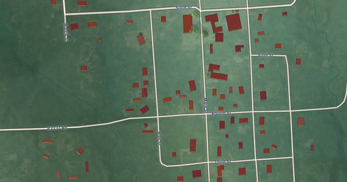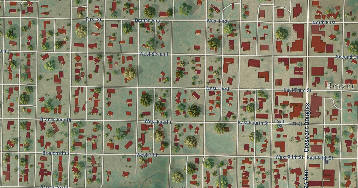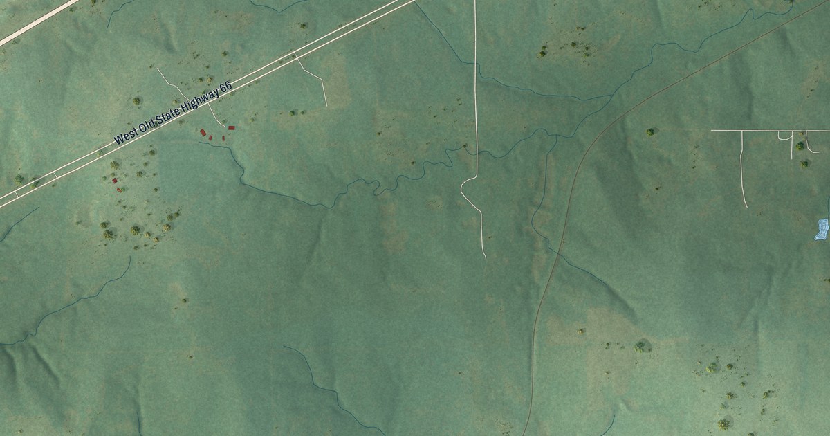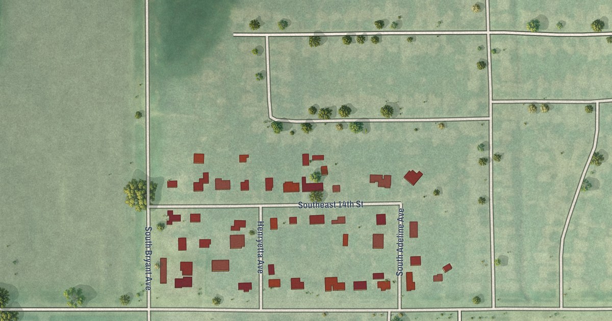
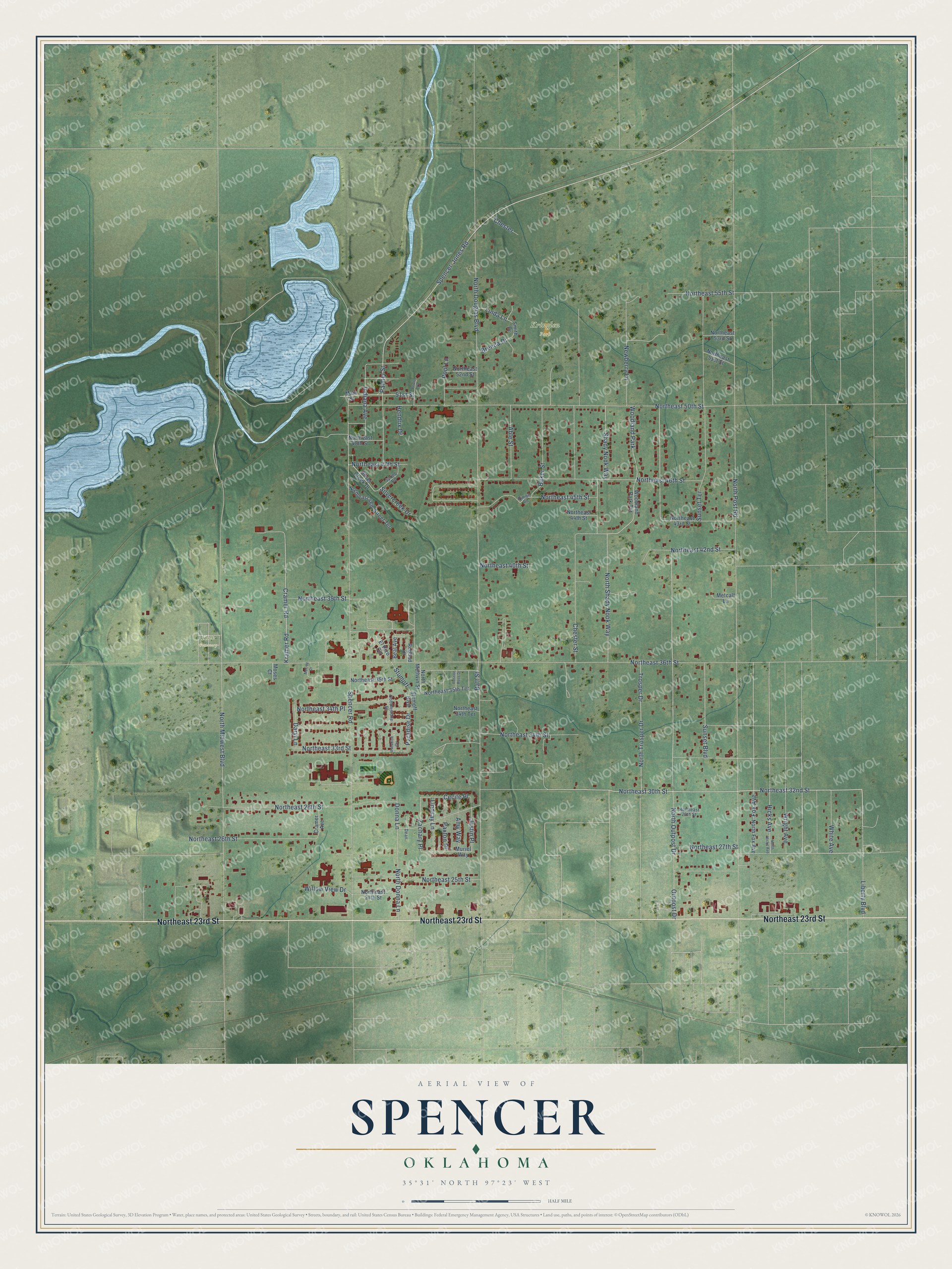
This beautifully detailed map of Spencer, Oklahoma was created in 2026 using aerial imagery combined with modern topographical, census, street and landmark data. It's a modern aerial view of Spencer in Oklahoma County, Oklahoma, that combines modern data with a vintage aesthetic. The roads feature printed names, and if you look closely you can find your exact house accurately shown in its correct location.
Explore an aerial view of Spencer, Oklahoma
On this map you'll find Kringlen Park, Kolb Cemetery, Northeast 23rd Street, Northeast 30th Street, Northeast 32nd Street, Cramer Road, Kramer Road, Zachary Place, Paradise Drive, Spencer Road, North Post Road, North Douglas Boulevard, and more. Each red shape is a building, so zoom in on the preview and look for yours.
Here is a piece of Spencer history, in the words of the record. The record at okhistory.org puts it this way: "Local farmers grew wheat, some of which had been sent to Chicago for the World's Columbian Exposition in 1893 and won first place in the crop competition."
Spencer is a city in Oklahoma County.
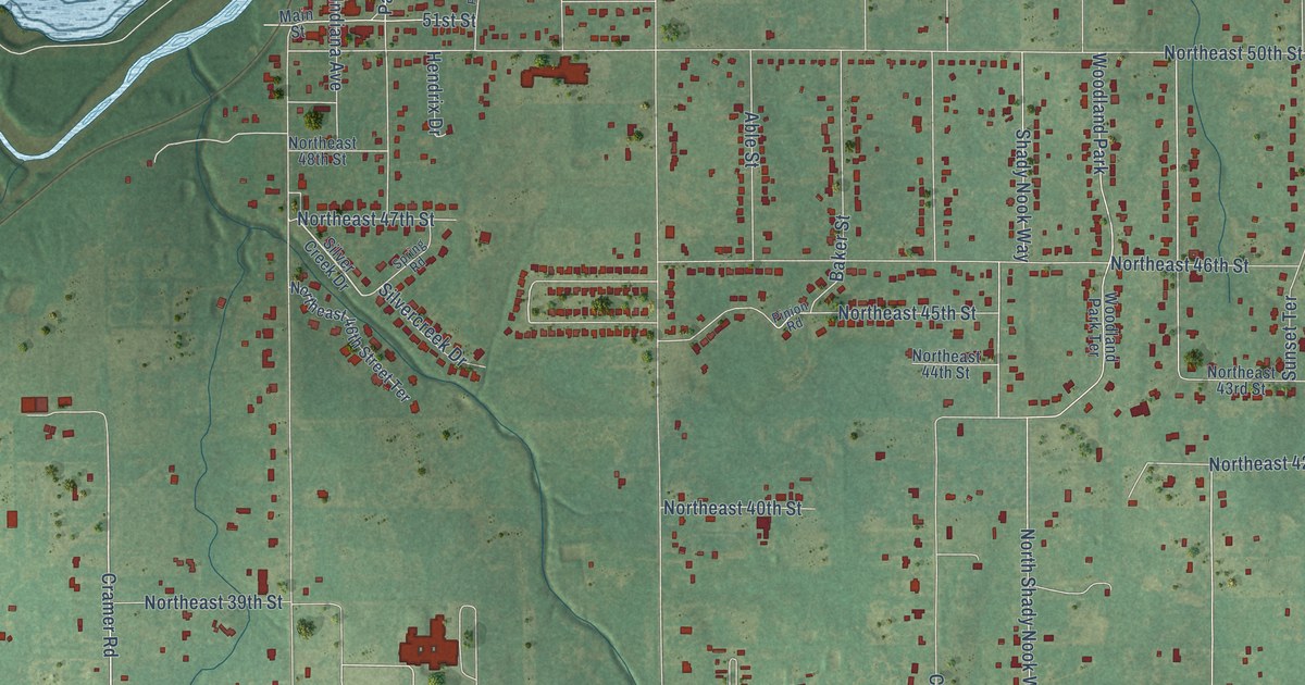
Take a closer look at the Spencer map
Names on this map
These names are printed on this map.
Places: Kringlen Park, Kolb Cemetery and Woodland Park.
Streets and roads: Northeast 23rd Street, Northeast 30th Street, Northeast 32nd Street, Cramer Road, Kramer Road, Zachary Place, Paradise Drive, Spencer Road, North Post Road, North Douglas Boulevard, Northeast 36th Street, North Outpost Drive.
More street names, A to Z
51st Street, Able Street, Amy Way, Baker Street, Batt Street, Beal Avenue, Brenda Drive, Cecile Place, Chester, Chester Street, Cobblestone Drive, Cramer Avenue, Daryl Lane, Dean, Donna Lane, El Pizo Circle, Fox Avenue, Hendrix Drive, Hicks Avenue, Indiana Avenue, Justin Place, Liberty Boulevard, Linda Lane, Lindsay Lane, Main Street, McCoy Drive, Metcalf Lane, Moses Court, Muriel Way, Newberry Lane, North Donna Lane, Northeast 24th Street, Northeast 25th Street, Northeast 26th Street, Northeast 27th Street, Northeast 28th Street, Northeast 29th Street, Northeast 33rd Street, Northeast 34th Place, Northeast 34th Street, Northeast 34th Terrace, Northeast 35th Street, Northeast 35th Terrace, Northeast 39th Street, Northeast 40th Street, Northeast 42nd Street, Northeast 43rd Street, Northeast 44th Street, Northeast 45th Street, Northeast 46th Street, Northeast 46th Street Terrace, Northeast 47th Street, Northeast 48th Street, Northeast 50th Street, Northeast 51st Street, Northeast 52nd Street, Northeast 53rd Street, Northeast 55th Street, North Fox Avenue, North Hicks Avenue, North Methvin Street, North Midwest Boulevard, North Shady Nook Way, North Trosper Drive, Outpost Drive, Palmer Street, Paradise Circle, Paxton Place, Pinion Road, Poole Lane, Pool Lane, Redbud Drive, Roscoe Ross Drive, Shady Nook Way, Silvercreek Drive, Silver Creek Drive, Smith Drive, Spencer-Jones Road, Spring Road, Stumpff, Stumpff Boulevard, Sunset Boulevard, Sunset Terrace, Trosper Drive, White Avenue, Willow View Drive, Woodland Park Terrace, Wright Avenue.
Created by KNOWOL in 2026. The buildings are small red shapes, the roads carry their printed names, and shaded relief shows the shape of the land. The title panel reads "AERIAL VIEW OF SPENCER OKLAHOMA" with 35°31' NORTH 97°23' WEST.
It suits a den, a classroom or a front hall, and it makes a gift for anyone with Spencer roots. Open the preview and find the block you know. See sizes and frames for the Spencer map.