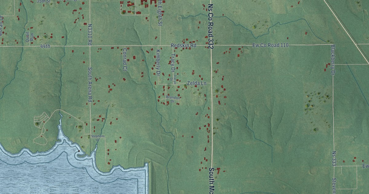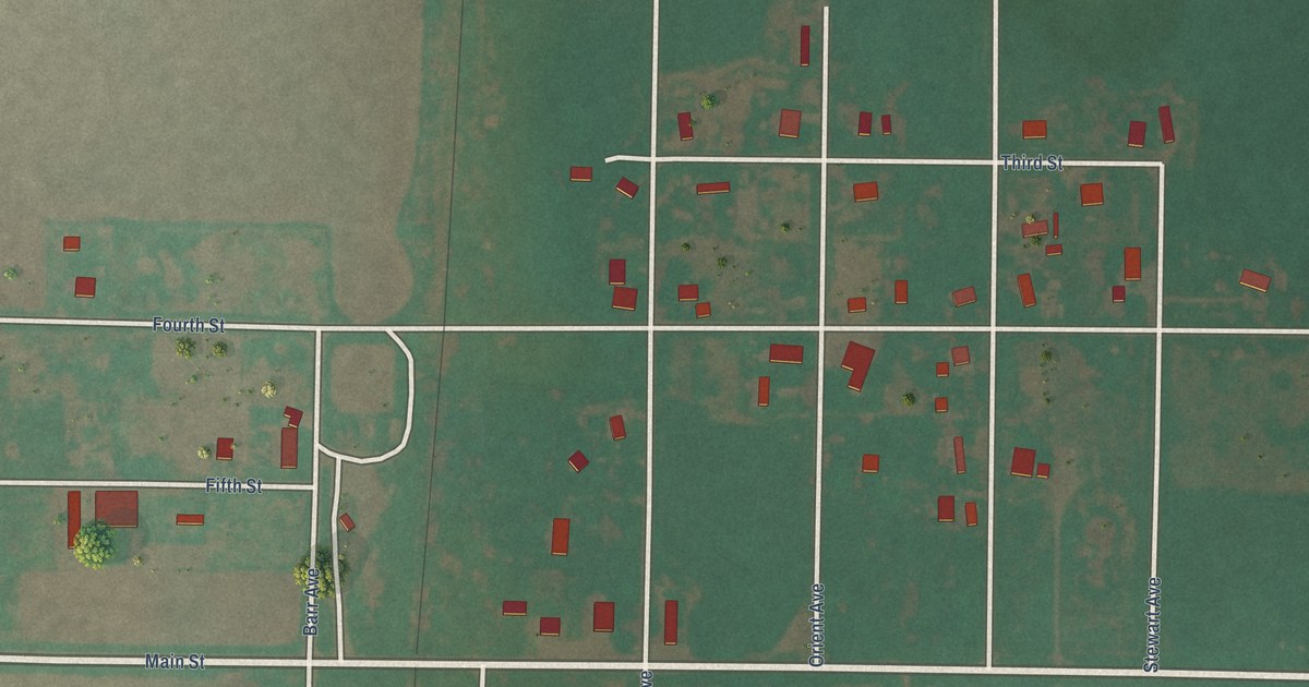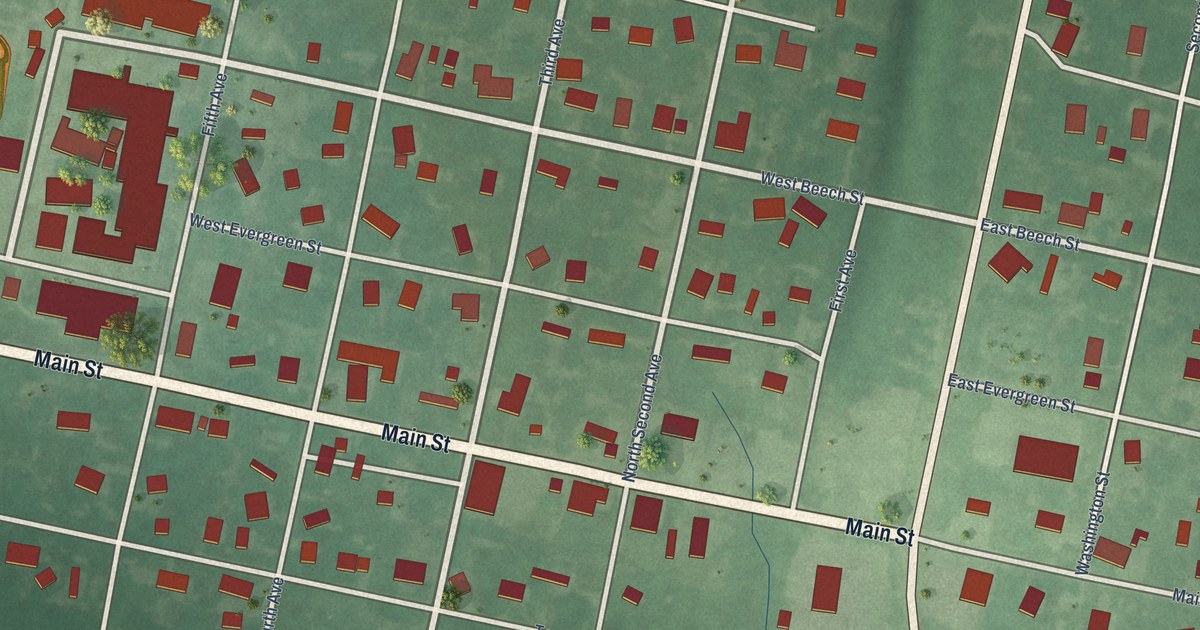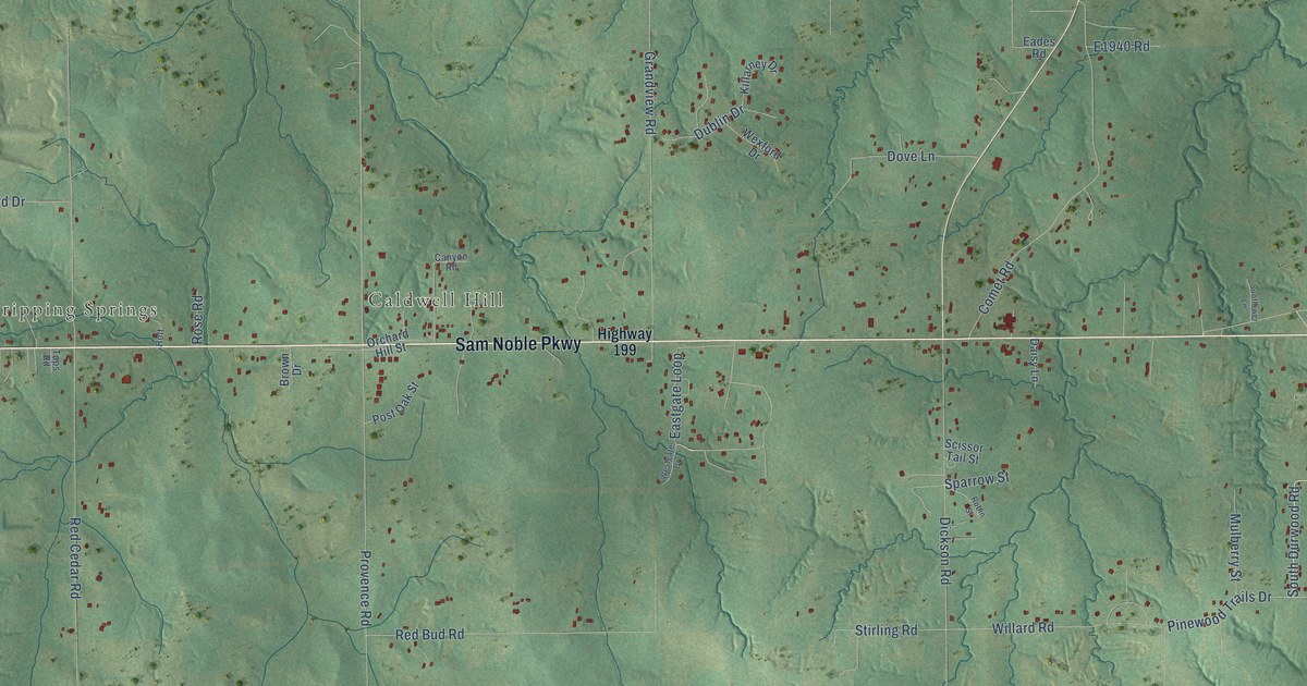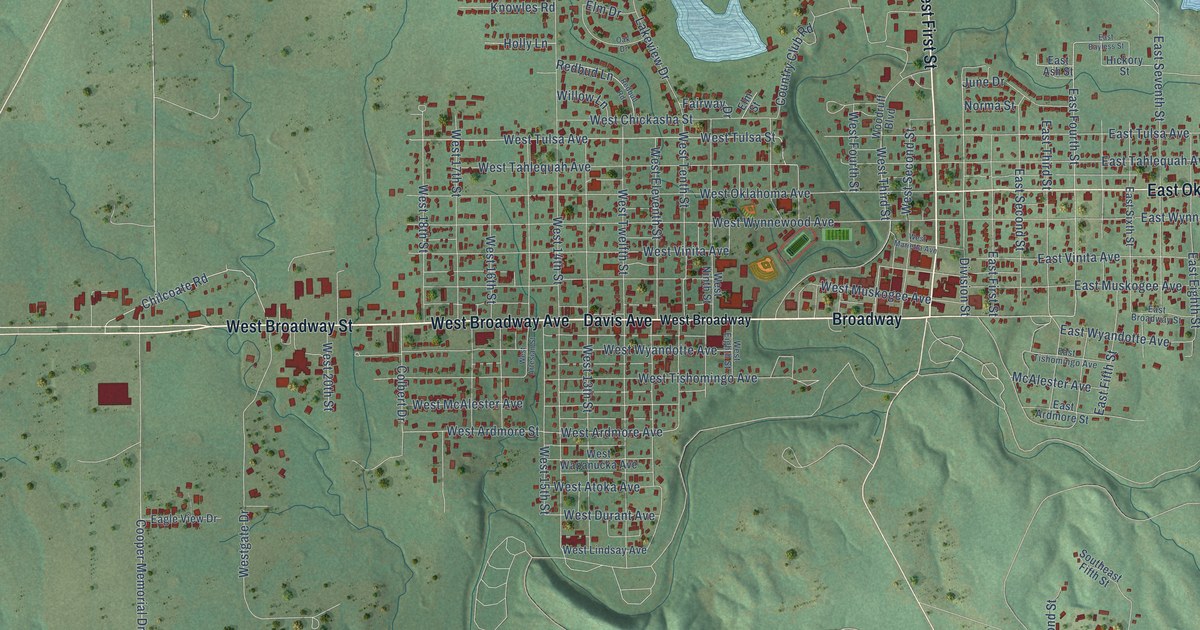
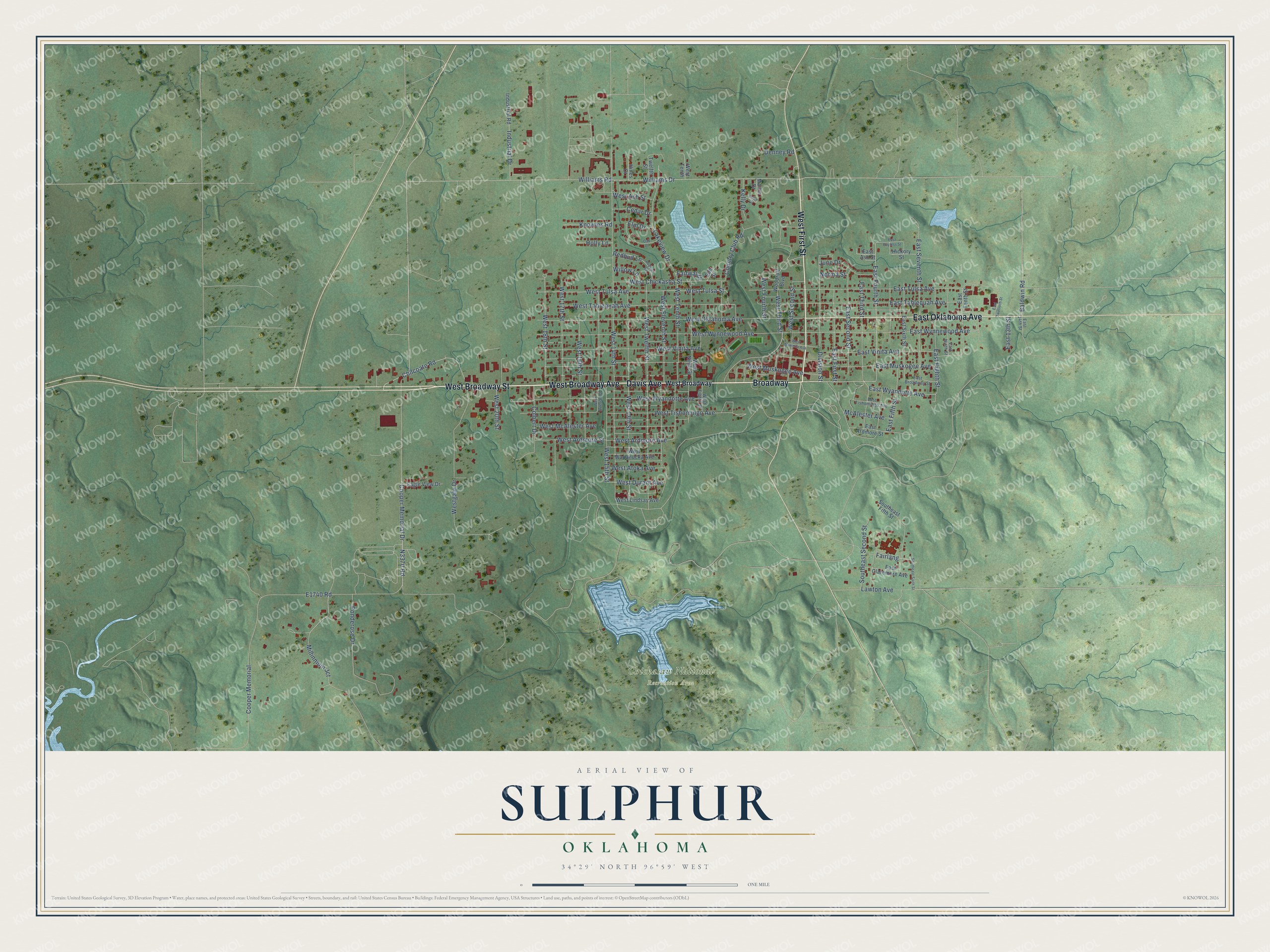
This beautifully detailed map of Sulphur, Oklahoma was created in 2026 using aerial imagery combined with modern topographical, census, street and landmark data. It's a modern aerial view of Sulphur in Murray County, Oklahoma, that combines modern data with a vintage aesthetic. The roads feature printed names, and if you look closely you can find your exact house accurately shown in its correct location.
Explore an aerial view of Sulphur, Oklahoma
On this map you'll find Chickasaw National Recreation Area, Davis Avenue, West Broadway Avenue, West Broadway Street, West First Street, Broadway, East Oklahoma Avenue, Chilcoate Road, Williams Drive, Division Street, East Fourth Street, Williams Road, and more. Each red shape is a building, so zoom in on the preview and look for yours.
Every town has a first chapter, and Sulphur is no exception. The record at okhistory.org puts it this way: "The Sulphur post office was established on October 2, 1895, with William J. Bloomer as postmaster."
Sulphur is a city in Murray County.
Take a closer look at the Sulphur map
Names on this map
These names are printed on this map.
Places: Chickasaw National Recreation Area.
Streets and roads: Davis Avenue, West Broadway Avenue, West Broadway Street, West First Street, Broadway, East Oklahoma Avenue, Chilcoate Road, Williams Drive, Division Street, East Fourth Street, Williams Road, West Third Street.
More street names, A to Z
Baldwin Road, Brian Drive, Cedar Drive, Colbert Drive, Cooper Memorial, Cooper Memorial Drive, Country Club Road, Denney Road, Eagle View Drive, East 13th Street, East 14th Street, East Ardmore Street, East Ash Street, East Bayless Street, East Broadway Street, East Claremore Avenue, East Eighth Street, East Fifth Street, East First Street, East Muskogee Avenue, East Ninth Street, East Second Street, East Seventh Street, East Sixth Street, East Tahlequah Avenue, East Tenth Street, East Third Street, East Tishomingo Avenue, East Tulsa Avenue, East Twelveth Street, East Vinita Avenue, East Wyandotte Avenue, East Wynnewood Avenue, Elm Drive, Elm Street, Fairlang, Fairway Drive, Hickory Street, Hines Court, Holly Lane, Industrial Drive, Industrial Road, June Drive, Kelly Drive, Knowles Road, Lakeview Drive, Lawton Avenue, Martin Drive, McAlester Avenue, Millinnium Jct, Norma Street, Oak Drive, Ponderose Drive, Redbud Lane, Redbud Road, Southeast Fifth Street, Southeast Second Street, Southeast Sixth Street, Twelfth Street, West 13th Street, West 14th Street, West 15th Street, West 16th Street, West 17th Street, West 18th Street, West 20th Street, West Ardmore Avenue, West Ardmore Street, West Artesian Street, West Ash Street, West Atoka Avenue, West Broadway, West Chickasha Street, West Durant Avenue, West Eighth Street, West Eleventh Street, West Fourth Street, Westgate Drive, West Lindsay Avenue, West Marietta Avenue, West McAlester Avenue, West Muskogee Avenue, West Ninth Street, West Oklahoma Avenue, West Second Street, West Tahlequah Avenue, West Tenth, West Tenth Street, West Tishomingo Avenue, West Tulsa Avenue, West Tulsa Street, West Twelfth Street, West Vinita Avenue, West Wapanucka Avenue, West Wyandotte Avenue, West Wynnewood Avenue, Willow Lane, Woodruff Boulevard.
Created by KNOWOL in 2026. The buildings are small red shapes, the roads carry their printed names, and shaded relief shows the shape of the land. The title panel reads "AERIAL VIEW OF SULPHUR OKLAHOMA" with 34°29' NORTH 96°59' WEST.
Hang it in the hallway, the office or the cabin, or give it to someone who left Sulphur and still calls it home. Open the preview and look for a street you know. See sizes and frames for the Sulphur map.